
Interactive USA Map
What it does
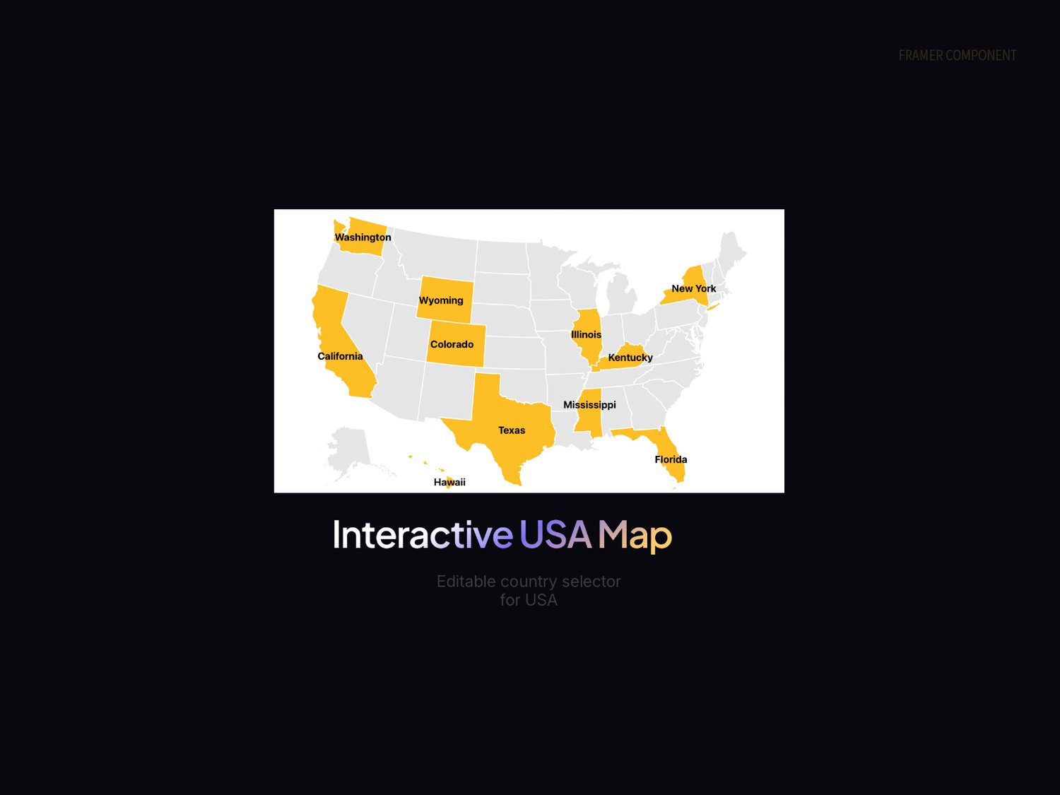
Interactive Map gives your site a clean, editable map of the USA where you control exactly which countries are highlighted. Pick countries from a dropdown in the property panel, customize all colors, and watch labels automatically reposition to avoid overlapping each other.
Features
Pre-cropped to Europe and surrounding regions for a focused view. Select states from a sorted dropdown. Smooth spring-bounce hover animation on every country. Country name labels with automatic collision detection and connector lines. Full color control for background, deselected, selected, hover, and borders. Optional text outline for label readability over any background. Configurable container border, corner radius, and label typography.
How to use
Paste the component onto your canvas. In the right sidebar under "Selected," add or remove countries from the dropdown. Adjust colors and label styling to match your brand. Resize the component freely, the map auto-fits to any aspect ratio.
Ideal for
Agency portfolios showing client locations, SaaS sites with USA presence, travel and logistics companies, case studies, coverage maps, hiring pages, and any site that needs to communicate geographic reach visually.