
Tyrrhenian-Adriatic-Aegean Systems. Sacred Landscapes, Symbolic Axes and Territorial Networks across Ancient Italy and Greece
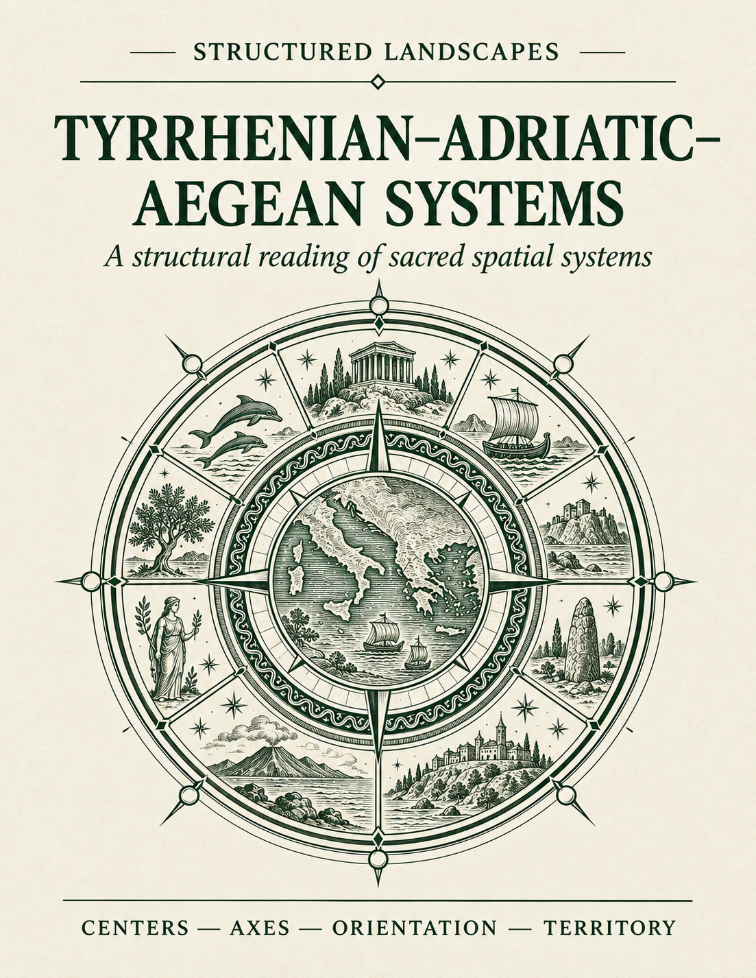
Tyrrhenian–Adriatic–Aegean Systems
A structural reading of sacred spatial systems
Three seas. Many centres. Successive systems.
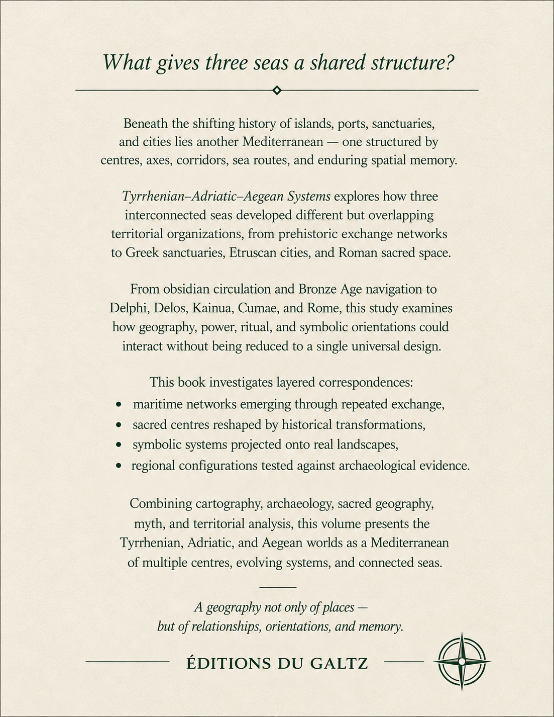
Beneath the political and cultural divisions of the ancient Mediterranean lies an older geography of islands, maritime passages, mountain corridors, sacred centres and symbolic orientations.
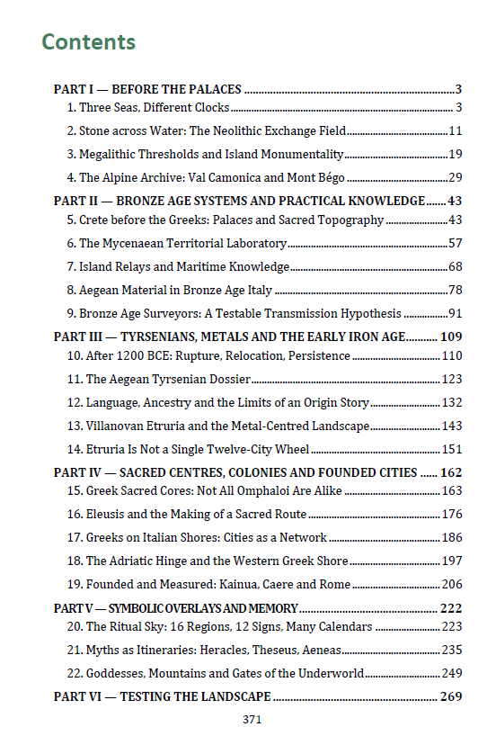
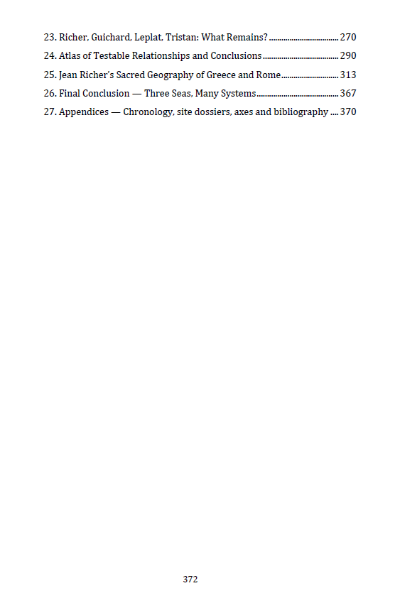
This book explores how the Tyrrhenian, Adriatic and Aegean worlds developed different but interconnected territorial systems — from Neolithic exchanges and Bronze Age palaces to Etruscan cities, Greek sanctuaries, Roman foundations and the sacred zodiacs reconstructed by Jean Richer.
A Mediterranean whose civilizations repeatedly change, while many of its deepest geographical relationships endure.
What this book reveals
From Sardinia and Etruria to the Adriatic, Crete and the Aegean islands, the Mediterranean is explored through successive structural layers.
The book examines:
• Neolithic obsidian networks linking Lipari, Monte Arci, Palmarola, Pantelleria and Melos
• Sardinian megaliths, Corsican statue-menhirs and the Alpine engravings of Val Camonica and Mont Bégo
• Minoan palaces, Mycenaean territories, the hydraulic works of Copais and Bronze Age navigation
• The possible circulation of ancient surveyors, navigators and specialized geographical knowledge
• Tyrsenian traditions, Etruscan origins and the linguistic connections between Etruscan, Lemnian and Raetic
• Etruscan metallurgical networks and the three territorial systems centred on Bolsena, Mantua and Capua
• Greek colonization in southern Italy and Sicily, with Cumae, Taranto, Sybaris, Metapontum and Syracuse
• Delphi, Delos, Olympia, Eleusis and Dodona as different sacred centres
• Kainua–Marzabotto, Caere and Rome as examples of urban planning and ritual foundation
• The Etruscan divinatory sky, the liver of Piacenza and the relationship between sixteen celestial regions and twelve zodiacal signs
• The Mediterranean journeys of Heracles, Theseus and Aeneas
• Enna, Lake Avernus, Cape Tainaron and Samothrace as sacred thresholds
• Jean Richer's territorial zodiacs of Delphi, Delos, Sardis, Cumae and Rome
• The two complementary projections of Cumae–Earth and Cumae–Heaven
• Xavier Guichard's geographical networks and the hypotheses of Leplat and Tristan
• The comparison between archaeological evidence, historical transmission and proposed sacred geometry
Core Insight
The Mediterranean was never organized around one universal centre.
Its structure emerges through persistent relationships:
island and mainland;
mountain and valley;
sanctuary and territory;
maritime route and sacred axis;
earthly geography and celestial projection.
The central question is:
“Why did different civilizations repeatedly select certain places as centres, passages and symbolic reference points?”
Geography provides the field. Human societies establish the routes, centres, measures and meanings.
The resulting landscape is not a single sacred design, but a succession of overlapping geographical and symbolic systems.
Inside the Book
✔ 372 pages in the paperback edition
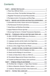
✔ Six major parts, from prehistoric landscapes to Greek and Roman sacred geography
✔ Extensively illustrated with maps, archaeological photographs, reconstructions and comparative diagrams
✔ Detailed investigation of Etruscan origins, maritime exchanges and ancient territorial organization
✔ Greek sanctuaries, sacred routes, foundation rituals and Mediterranean mythology
✔ Complete examination of Jean Richer's Greek and Roman zodiacal reconstructions
✔ Comparative analysis of Richer, Guichard, Leplat and Tristan
✔ A final synthesis connecting the principal Mediterranean sacred centres
✔ Seven complementary appendices available separately as a free PDF, including an atlas of 118 sites and a register of 26 networks and proposed axes
A Different Way of Seeing the Mediterranean
This is not a conventional history of Greece and Rome, nor simply an archaeological atlas.
It examines the successive structures through which societies understood and organized Mediterranean space.
Resources come first.
Then maritime exchanges.
Then palaces and technical knowledge.
Then Greek and Etruscan cities.
Then sanctuaries, territorial divisions and religious foundations.
Finally, Jean Richer's geographical reconstructions.
His proposed zodiacs are explored through their centres, orientations, ancient coinage, cults and mythological correspondences.
Archaeological facts and symbolic interpretations remain distinct, but both contribute to understanding how territories acquired meaning.
The Final Image
Can several sacred centres organize the same Mediterranean landscape?
Delphi represents the sacred centre of a Greek territorial zodiac.
Delos projects another system across the maritime world.
Sardis introduces an Anatolian centre.
Bolsena, Mantua and Capua illustrate different Etruscan configurations.
Cumae connects southern Italy and Sicily through two complementary zodiacal projections.
Rome reorganizes sacred space around the Umbilicus Urbis Romae, religious festivals and territorial orientations.
None alone explains the Mediterranean.
Together, they suggest a polycentric sacred geography of successive and overlapping systems.
The final reconstruction follows:
prehistoric resources → Bronze Age networks → Greek and Etruscan cities → sacred centres → territorial zodiacs → Roman geography.
The Landscape Outlives the System
The obsidian networks preceded the palaces.
The palaces disappeared, but maritime exchanges continued.
Greek sanctuaries connected independent cities.
Etruscan and Roman centres reorganized older landscapes.
Religions changed. Political systems changed. Symbols acquired new meanings.
Yet islands remained maritime relays, straits remained passages, and mountains continued to provide landmarks.
The system changes. The landscape remains.
Format: PDF
Paperback length: 373 pages
Supplementary documentation: Seven freely accessible appendices
Series: Structured Landscapes — Symbolic Landscapes Collection
Centers. Axes. Orientation. Territory.