
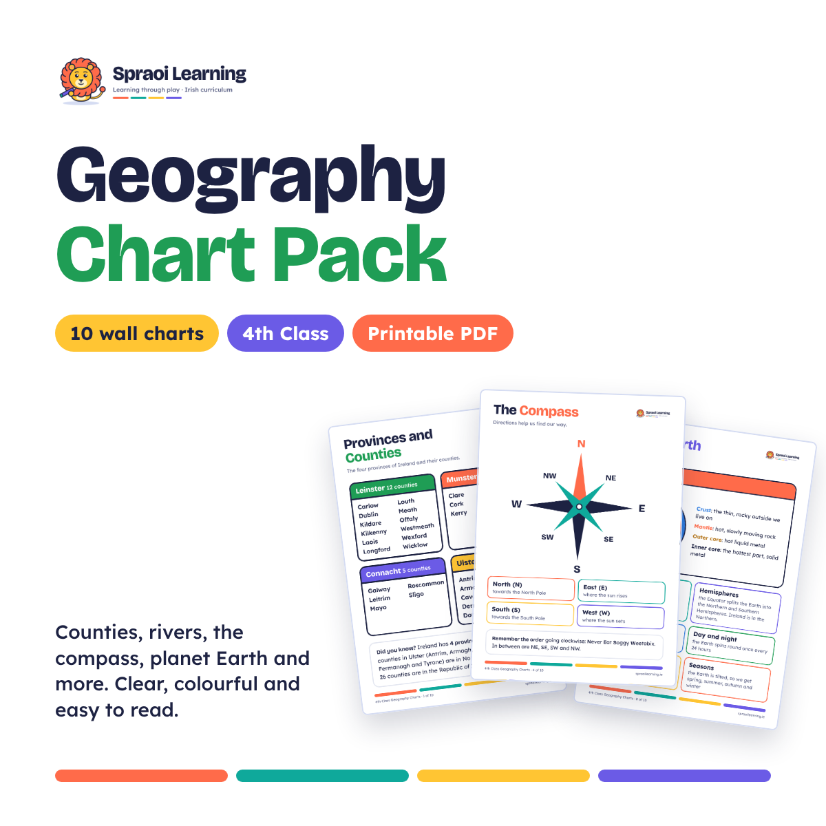
Geography Chart Pack – 10 Printable Wall Charts for 4th Class
On Sale
€4.99
€4.99
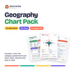
🌍 Geography Chart Pack for 4th Class
10 clear, colourful geography wall charts, matched to the Irish primary geography curriculum.
Easy to read, with lots of white space and one topic per chart.
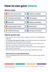
What's inside
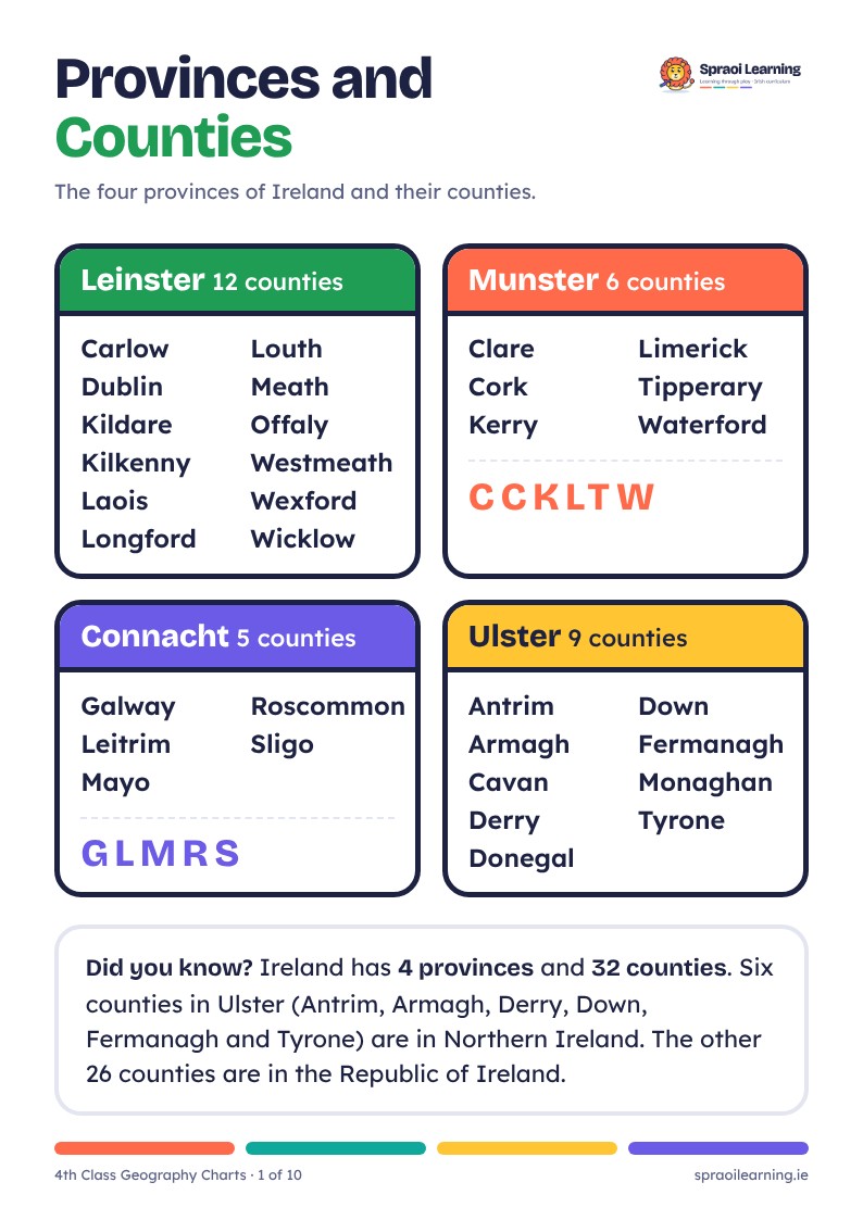
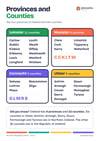
- Provinces and Counties: all 32 counties
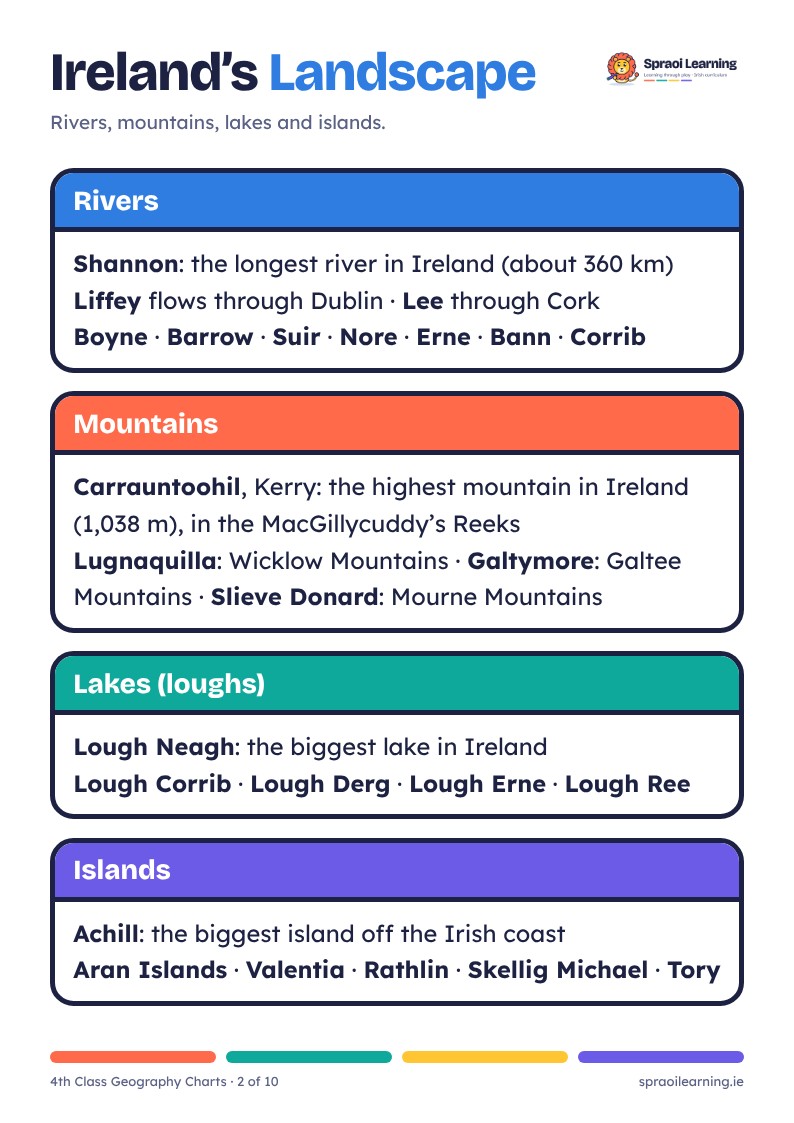
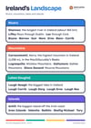
- Ireland's Landscape: rivers, mountains, lakes and islands
- Continents and Oceans
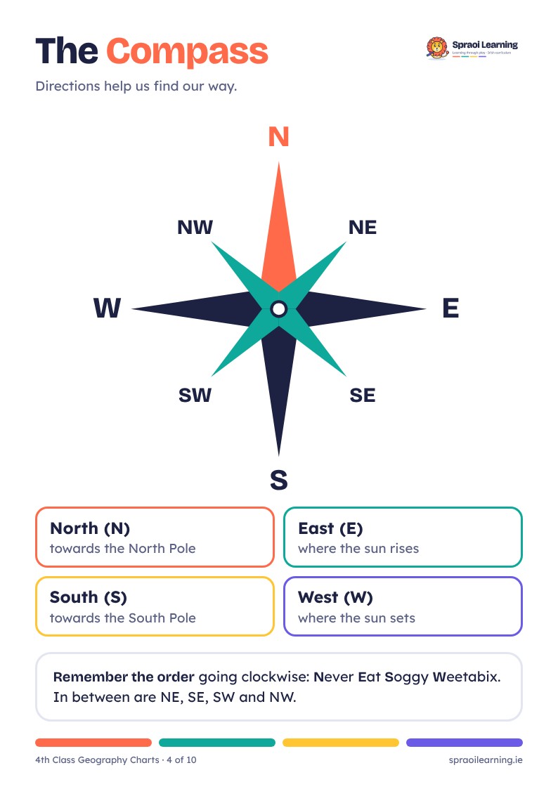
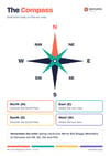
- The Compass
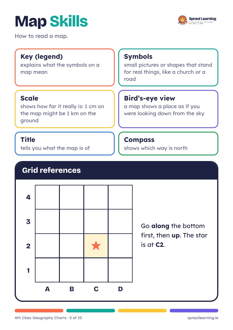
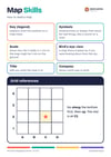
- Map Skills: key, symbols, scale and grid references
- Weather and Climate: weather instruments and Ireland's climate
- Land and Water Words
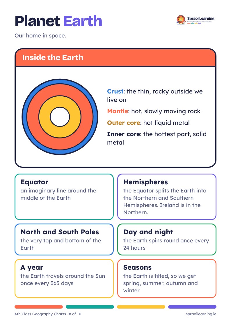
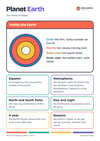
- Planet Earth: layers of the Earth, day and night, seasons
- Ireland and Europe: the EU, the euro and capital cities
- Caring for Our Planet: reduce, reuse, recycle and which bin
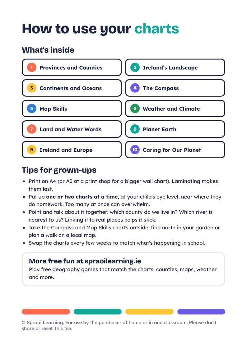
- Plus a How to use your charts page with tips for parents
Good for
- 4th Class (also great revision for 3rd and 5th Class)
- Homework corners, bedroom walls and classrooms
- Print on A4 at home, or A3 at a print shop for bigger posters
From Spraoi Learning: free learning games for Irish primary children at spraoilearning.ie