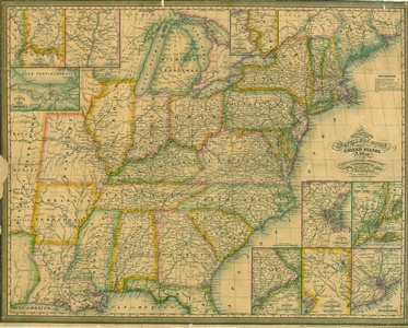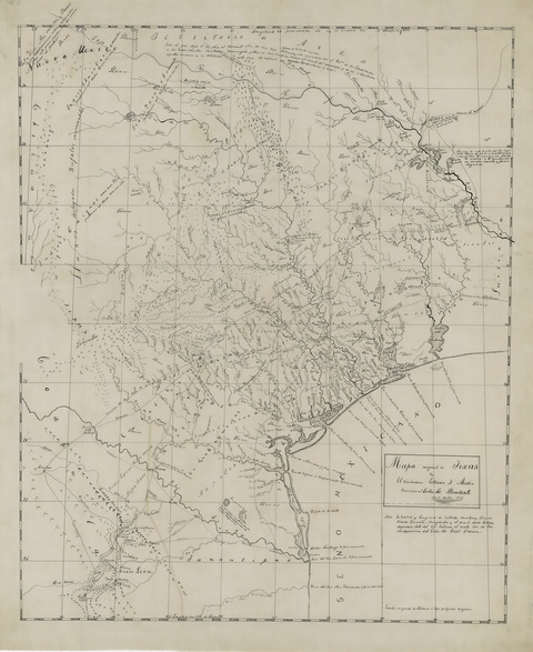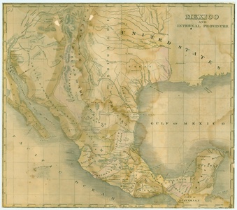
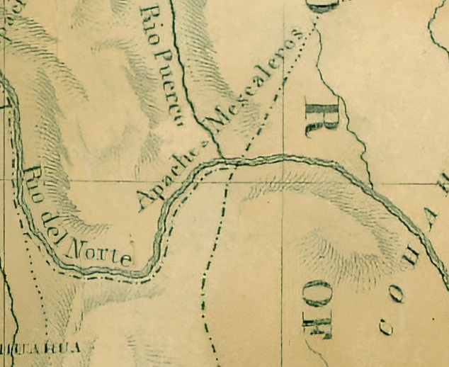

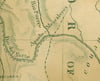

Map of Mexico and Internal Provinces 1829
On Sale
$9.99
$9.99
Map of Mexico and Internal Provinces 1829. Use left/right arrows to see all samples. 5808x5146px. Jpeg format. Will physically print out to approx. 48 in x 42 in.