Rhône-Alps
On Sale
£12.45
£12.45
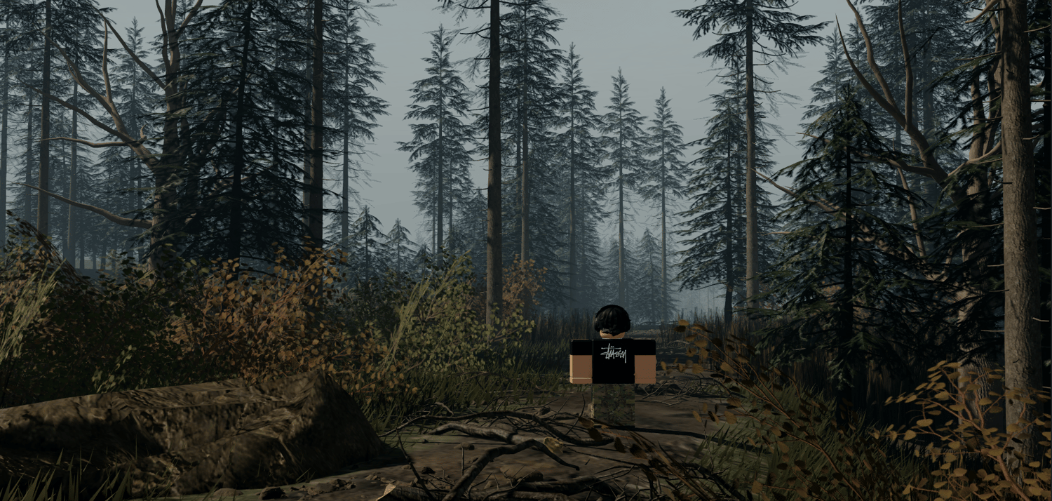
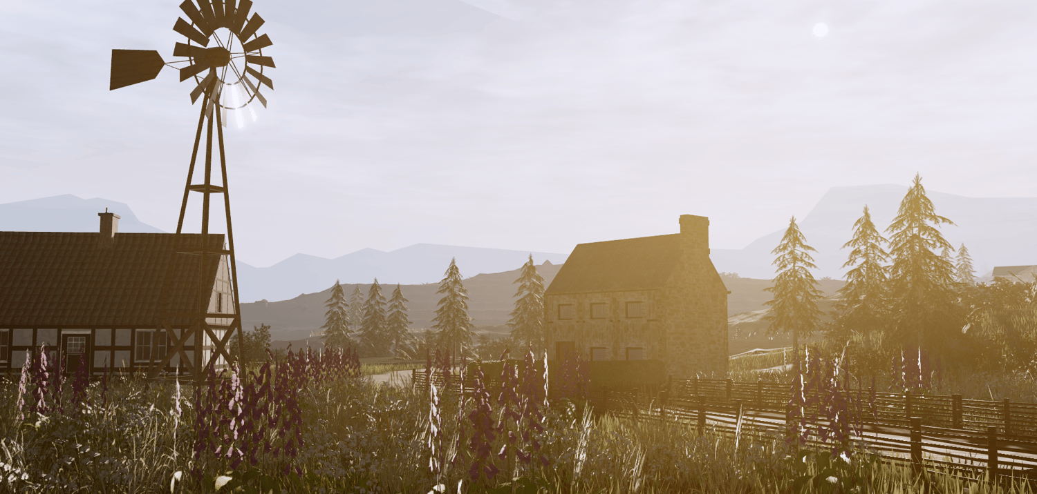
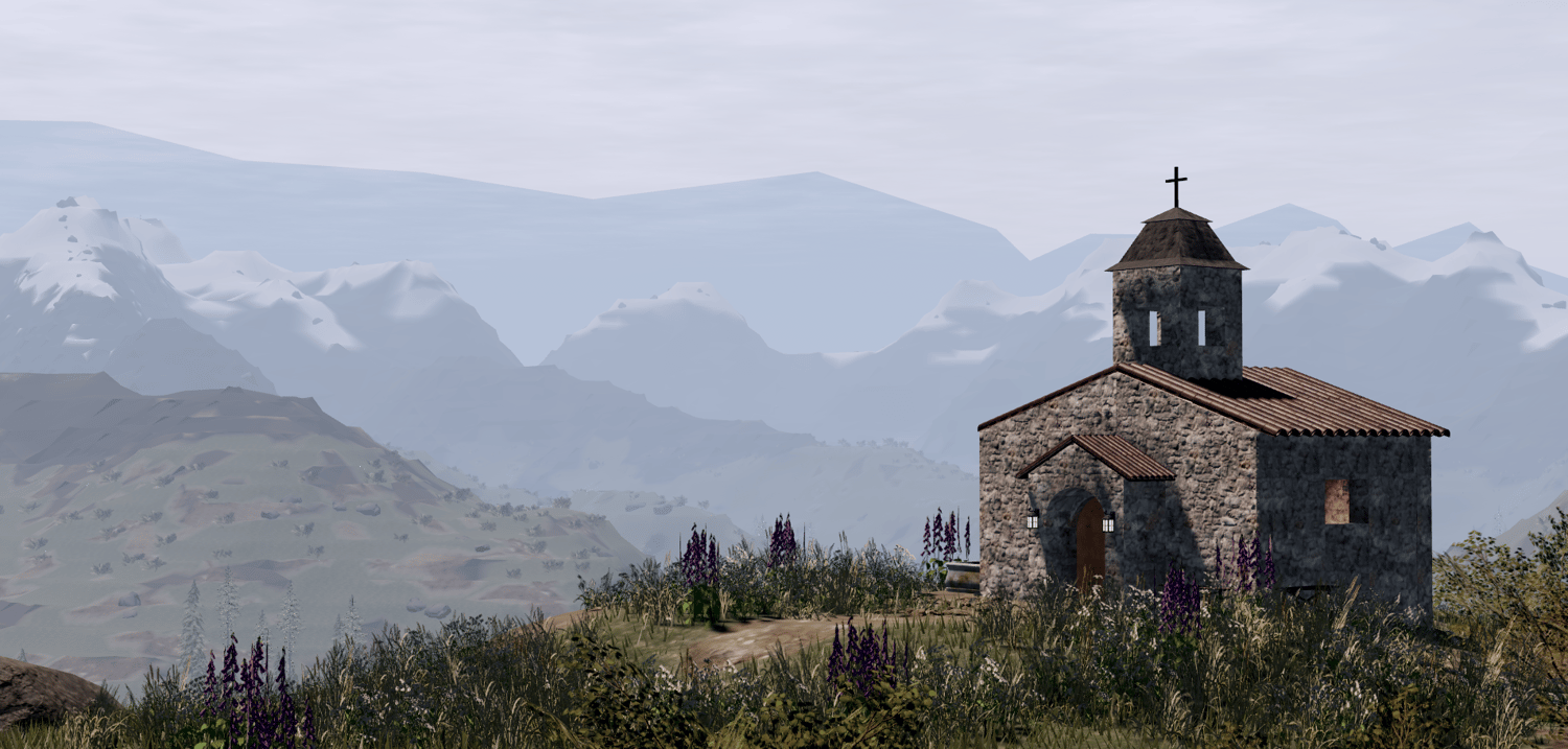
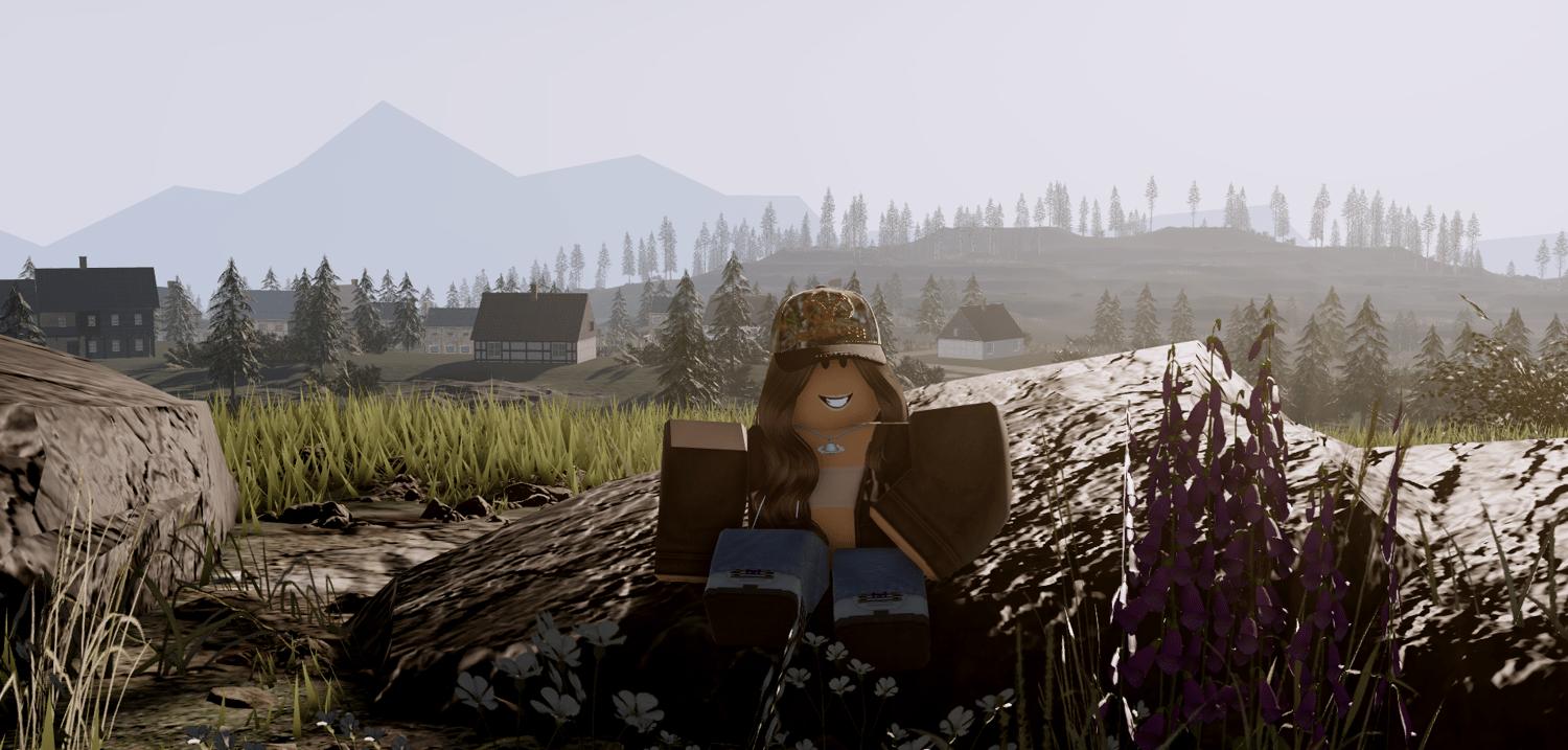
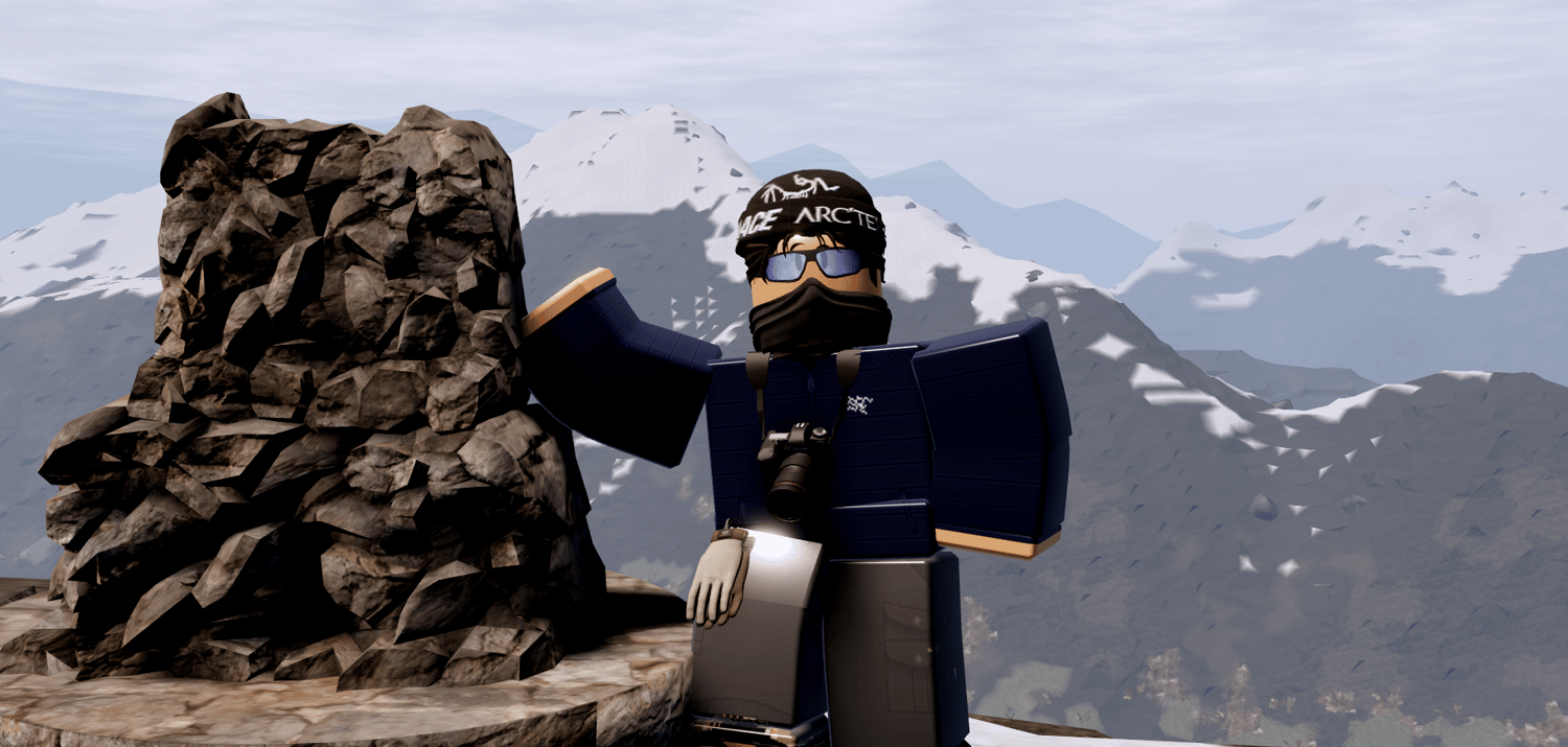
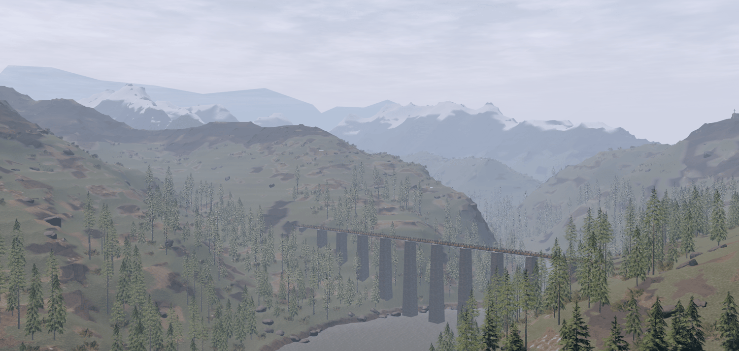
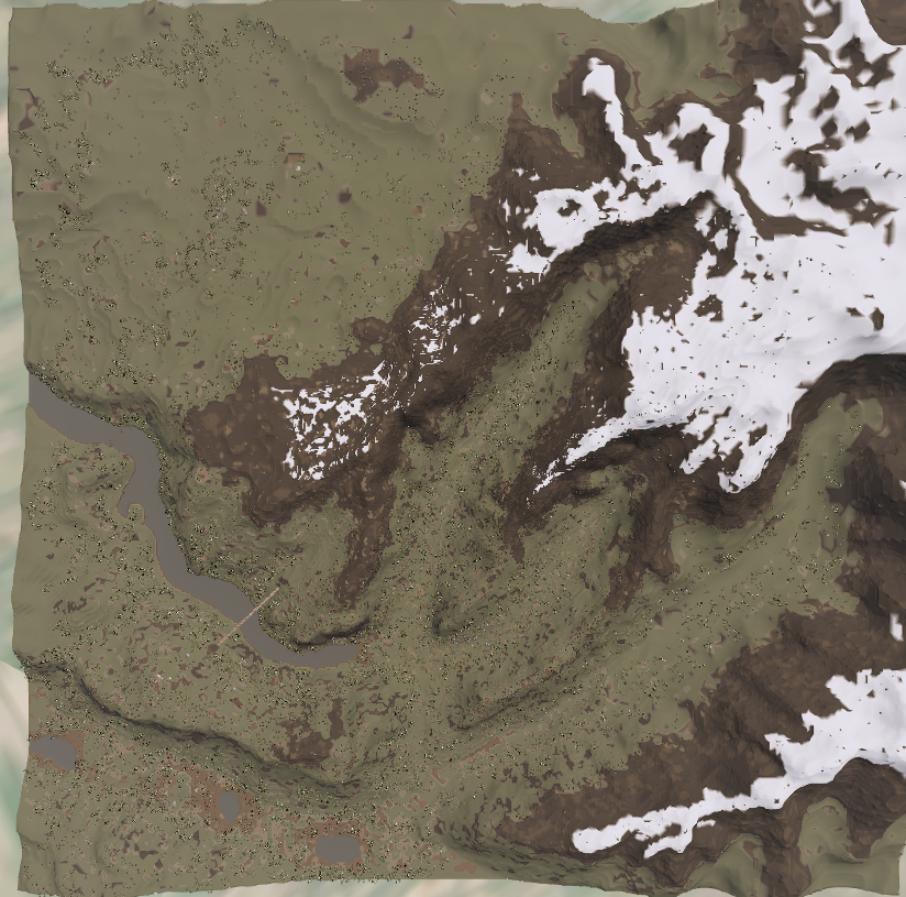
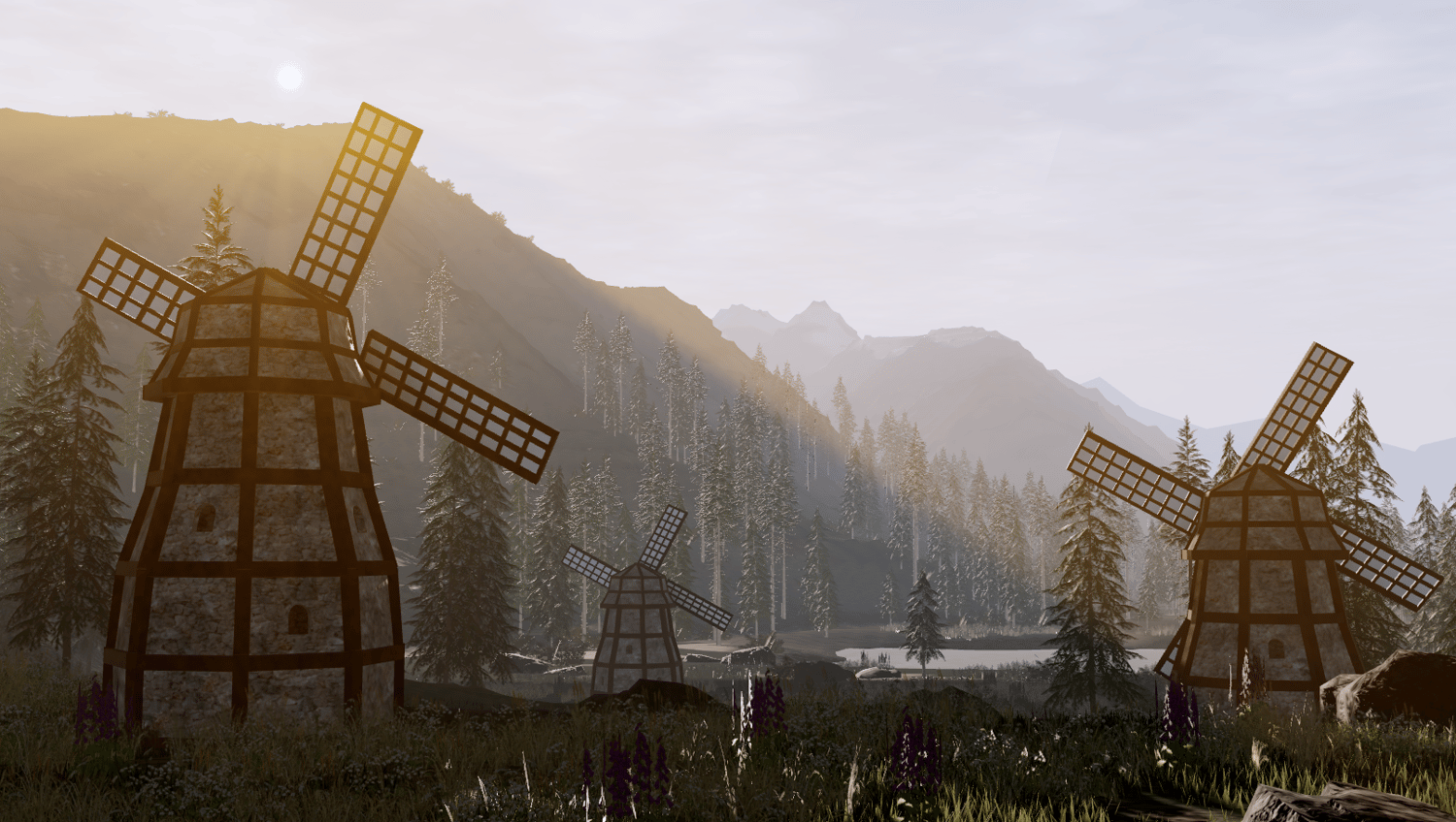
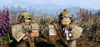
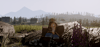
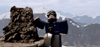
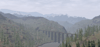
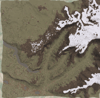
This 10x10k map is set in the Rhône-Alps on the French/ Swiss border in the summer. This map contains several valleys, snow topped mountains and lush alpine meadows.
As the altitude climbs, the map is split into two regions with varying environments. Ranging from pine forest, to snow capped mountains.
This map is perfect for hiking, land navigation, exploration and cold weather activities.
Map contains:
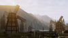
- Windmills
- Cabins
- Bridges
- Lookout points
- Filler Town (No interiors)
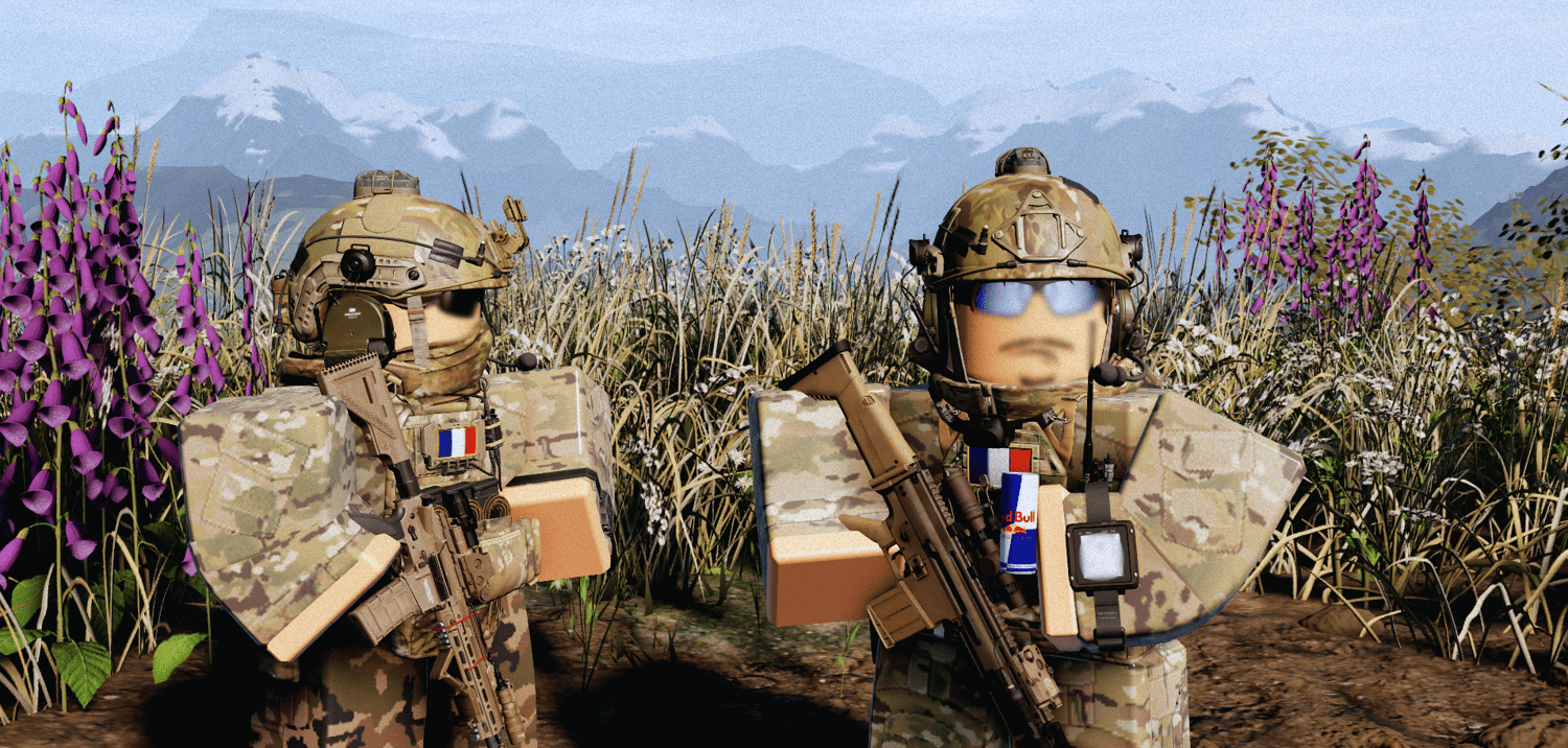
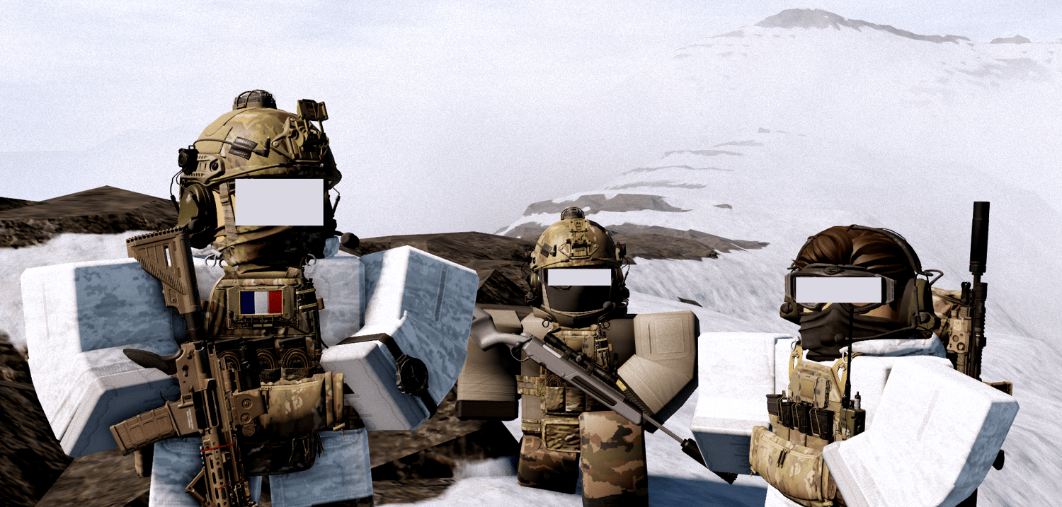
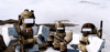
Some gear shown in screenshots aren't included in the map.