
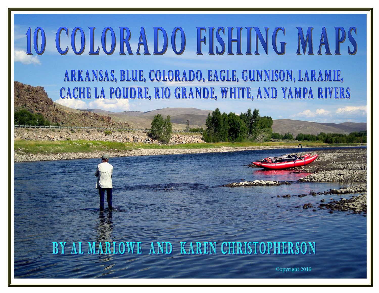
Ten Colorado Fishing Maps
On Sale
$29.95
$29.95
Map set includes extensive coverage for 10 Colorado rivers:
Maps are in digital format, Adobe Acrobat pdf. Each page is 8.5 x 11" so that pages can be printed easily on your home printer.
Huge savings by buying all 10 maps!
Requires Adobe Acrobat Reader 8 or higher, which is free. Can also be read on Adobe Digital Editions.
- Arkansas River: Series of 9 maps shows public fishing access on the Arkansas River from Leadville to Canon City. The maps show BLM, US Forest Service and State Land access areas. Also included are detailed maps for 17 SWAs (State Wildlife Areas) and STLs (State Trust Lands).
- Blue River: Series of 5 maps shows fishing and floating access on the Blue River from the headwaters south of Breckenridge until it merges with the Colorado River near Kremmling.
- Cache La Poudre: Series of 4 maps shows fishing access from the headwaters in Rocky Mtn Nat'l Park to NW of Ft. Collins. Includes tributaries.
- Colorado River: Series of 12 maps shows fishing and floating access on the Colorado River from the headwaters in Rocky Mountain Nat'l Park to Rifle.
- Eagle River: Series of 4 maps shows fishing access from the headwaters near Tennessee Pass to the confluence with the Colorado River.
- Gunnison River headwaters: Series of 8 maps shows fishing access on the Gunnison River from the headwaters to Blue Mesa Reservoir. Includes the East and Taylor Rivers.
- Laramie: Series of 5 maps shows fishing access from the headwaters in Colorado through the city of Laramie in Wyoming.
- Rio Grande: Series of 5 maps shows fishing access on the Rio Grande from the headwaters near Stony Pass through the Gold Medal section ending at Del Norte.
- White River: from the headwaters in the Flat Tops to Meeker. Includes the North and South Fork and other area waters.
- Yampa River: Series of 13 maps shows fishing and floating access on the Yampa River from the headwaters of Bear River to Dinosaur National Monument.
Maps are in digital format, Adobe Acrobat pdf. Each page is 8.5 x 11" so that pages can be printed easily on your home printer.
Huge savings by buying all 10 maps!
Requires Adobe Acrobat Reader 8 or higher, which is free. Can also be read on Adobe Digital Editions.