
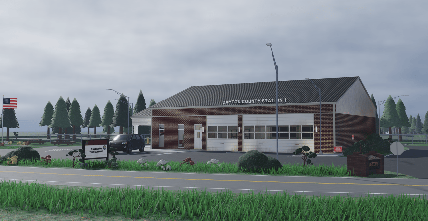
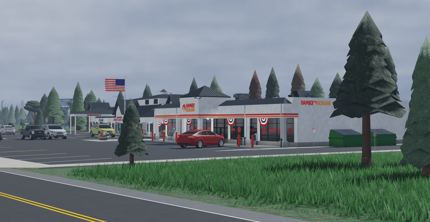
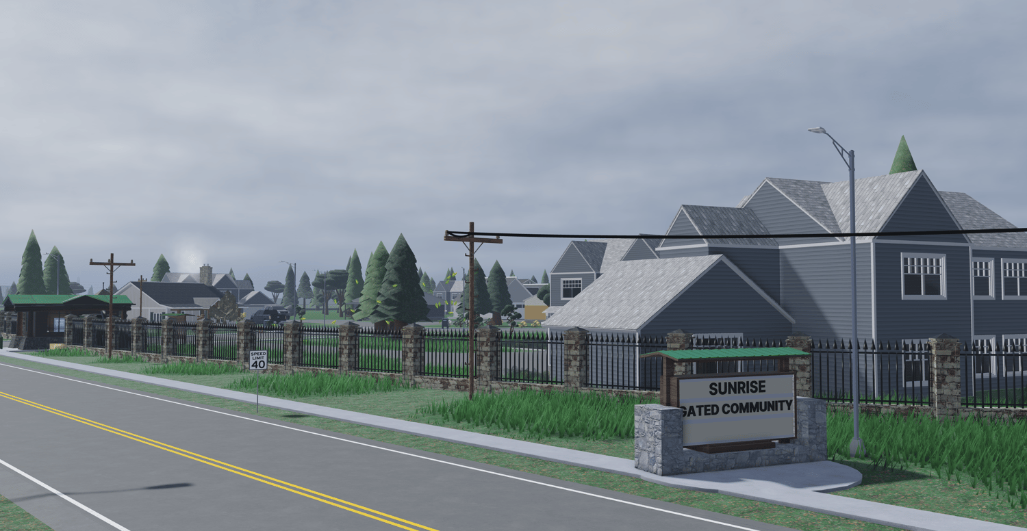
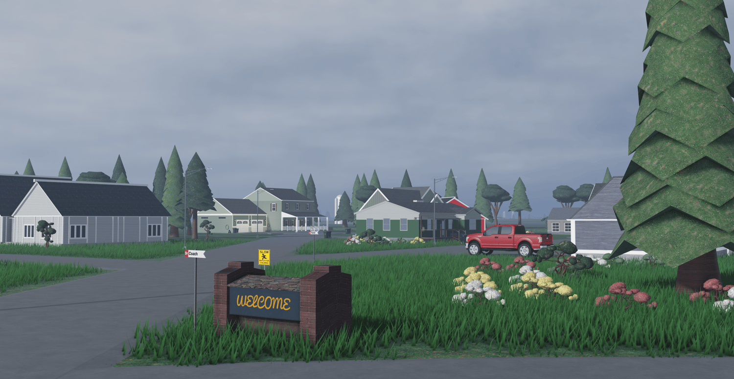

Dayton County, Ohio
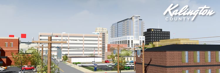
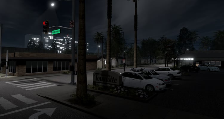
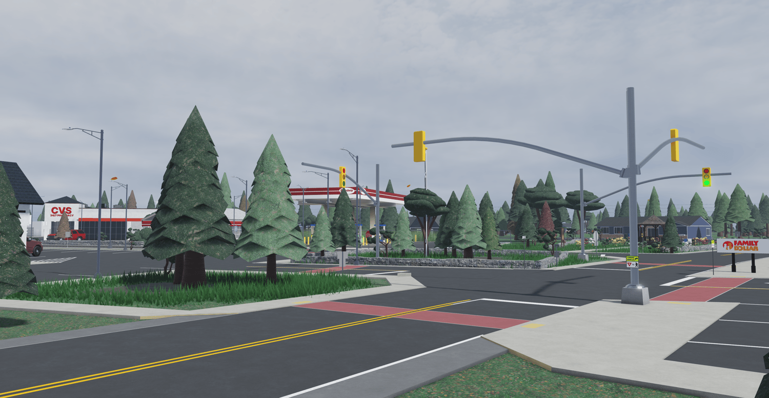
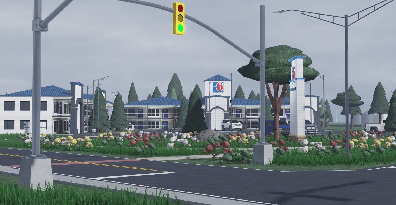
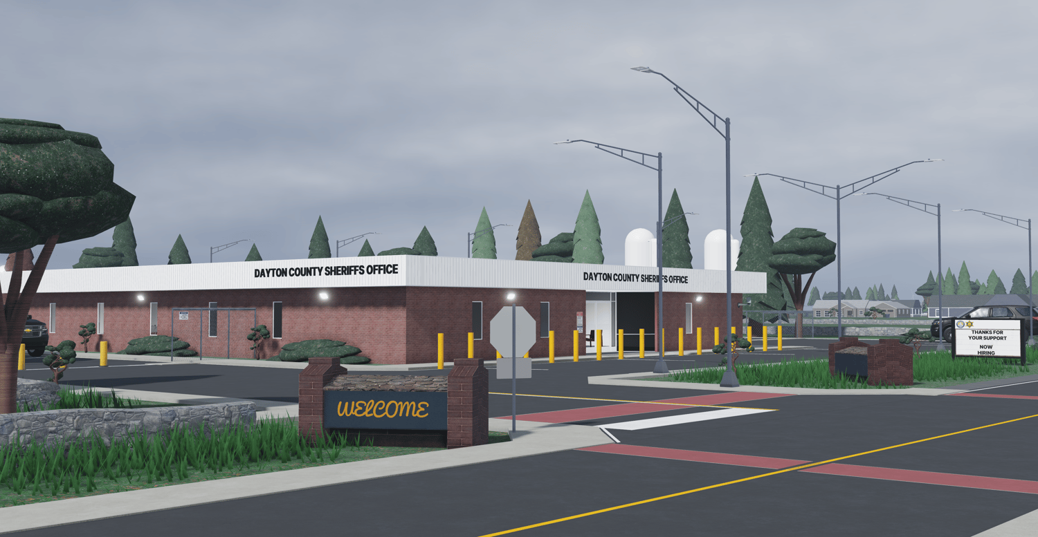
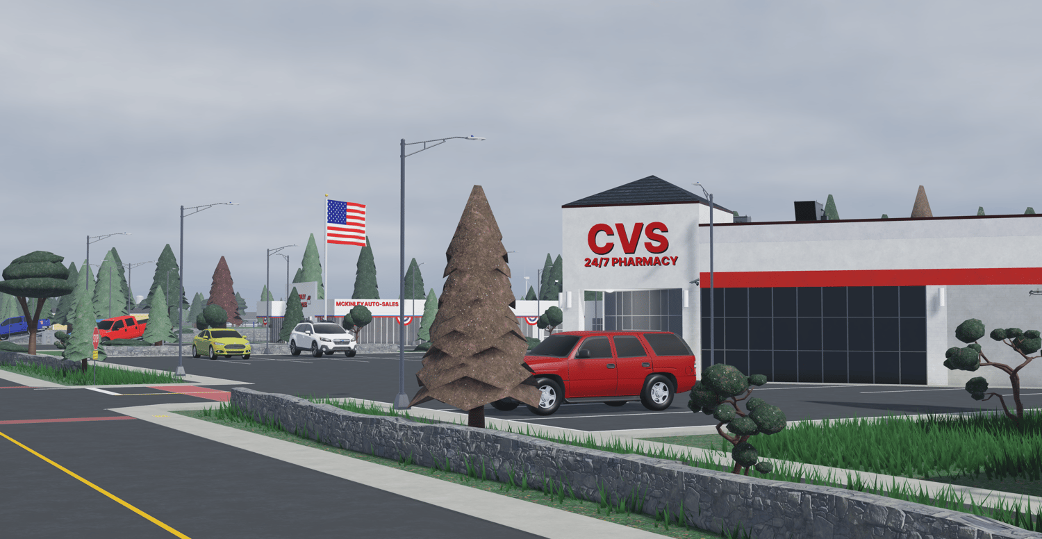
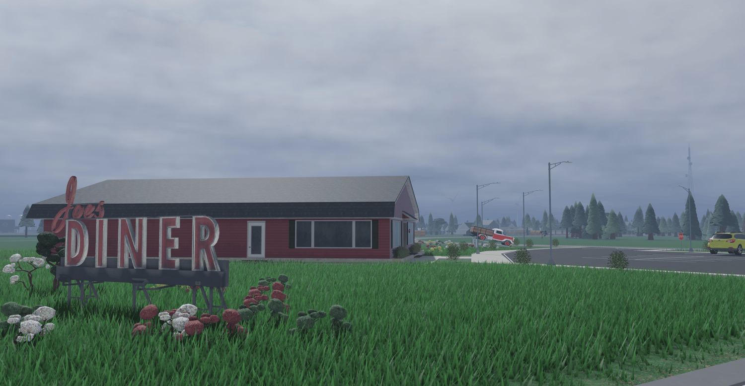
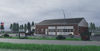
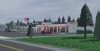
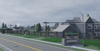
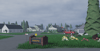
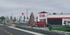
Dayton County, Ohio — a massive, unscripted county map built around a detailed central town with expansive surrounding environments.
More pics: https://drive.google.com/drive/folders/1hWg0diwzRNiHEptEjr7-7xg0ynlAai-o?usp=sharing
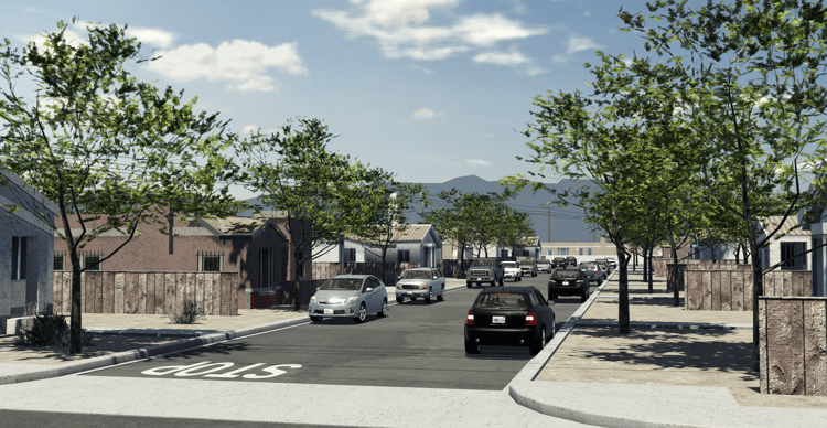
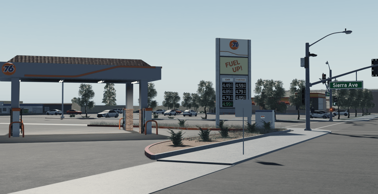
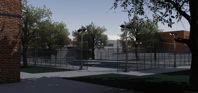
• Large main town featuring realistic street layouts, storefronts, service buildings, and structured neighborhoods.
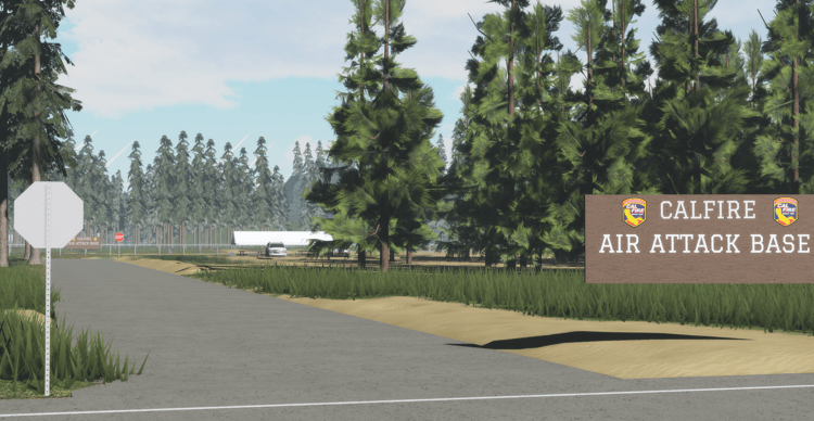
• Extensive surrounding areas including smaller residential clusters, open land, forest sections, and a developed lake district.
• Multiple points of interest spread throughout the county, creating natural distance and travel routes between locations.
• Long, fully drivable road network with highways, connecting roads, neighborhood streets, and extended response routes.
• Distinct residential zones ranging from compact housing areas to more spaced-out rural properties.
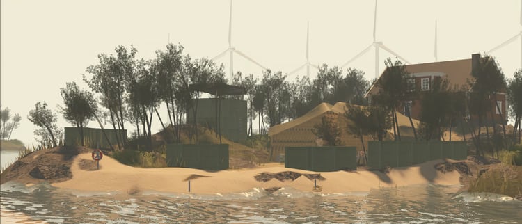
• Large lake area with shoreline access, docks, surrounding builds, and open space for immersive gameplay.
• Forested regions and open terrain providing depth, exploration value, and environmental variety.
• Industrial-style locations and utility properties positioned across the map for added realism and functionality.
• Fully unscripted framework, giving developers full freedom to integrate their own systems and customize without restrictions.
• Designed with scale and layout in mind to support long-term roleplay progression and structured server development.
• Optimized for stability while maintaining a large playable area.
• Built for realism-focused roleplay — suitable for structured communities, county operations, civilian development, and long-term server projects.