
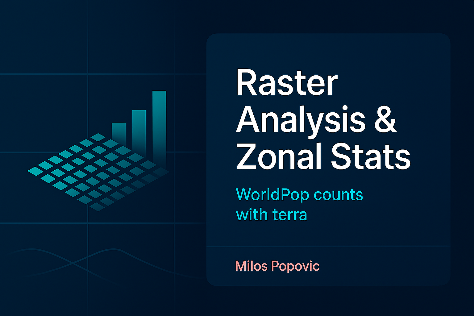
🔹 Module 4: Raster Analysis & Zonal Statistics
Extract Insights from Satellite and Gridded Data Work with elevation models, climate data, and population grids. Master raster operations, terrain analysis, and learn to summarize continuous data by regions for environmental and demographic analysis.
- Core Skills: Raster algebra, terrain derivatives (slope/aspect), focal operations, multi-band analysis, zonal statistics by administrative regions
- Data Sources: SRTM elevation, WorldClim climate, WorldPop population density
- Deliverable: Comprehensive risk assessment combining terrain, climate, and population
- Tools: terra, geodata, exactextractr, elevatr
- Real application: Landslide susceptibility mapping with population exposure analysis
Course Details:
- Prerequisites: Basic R and ggplot2 knowledge required
- Time Commitment: 3-4 hours per module (90-min live session + practice)
- Support: Live Q&A, code troubleshooting demos, private community access
- Resources: All code, data, and outputs provided
- Certificate: Professional certificate detailing all spatial analysis competencies gained
What Sets This Course Apart:
- Real-world datasets from authoritative sources (World Bank, OSM, satellite providers)
- Professional workflows used in international organizations
- Performance optimization for big spatial data
- Portfolio pieces suitable for job applications
- Cutting-edge techniques (GPU acceleration, 3D visualization)
- From basics to advanced in a logical progression

Meet Your Instructor: Milos Popovic, PhD
Learn from a Mapping Expert:
Join Milos, whose data visualizations have captivated global audiences, reaching millions worldwide. With extensive experience from institutions like Booking.com and recognition as a Top 10 global contributor in R and data visualization, Milos excels in making complex concepts accessible and impactful.
Who Should Enroll?
This course is perfect if you're a:
- International Development Professional creating reports for World Bank, UN, or IGOs
- Environmental Scientist analyzing terrain, climate, and risk assessments
- Urban Planner working with population density and infrastructure data
- Policy Analyst presenting spatial patterns and regional comparisons
- Graduate Student building a portfolio that stands out in competitive markets
- GIS Professional wanting to master R's cutting-edge spatial capabilities
Prerequisites: Basic R knowledge (data frames, ggplot2 basics). We'll handle all the spatial complexity!
What Makes This Course Unique?
Master Professional Workflows Used By:
- World Bank economists analyzing global development
- UN agencies monitoring sustainable development goals
- Environmental consultancies assessing natural hazards
- Tech companies building location-based services
- Academic researchers publishing high-impact papers
Every 90-Minute Live Session Delivers:
- Real-world datasets (World Bank indicators, OpenStreetMap, satellite imagery)
- Live troubleshooting of common spatial data challenges
- Professional cartographic techniques from published maps
- Code optimization for handling massive datasets
- Portfolio pieces worthy of international publications
Exclusive Bonuses:
- 📹 Lifetime access to HD session recordings
- 💻 Production-ready code repository (error-free, optimized)
- 🗺️ Professional map templates and style guides
- 📊 Pre-processed datasets (no download hassles)
- 🏆 Completion certificate
- 🎨 Custom visualization cheat sheets
Real Success Stories:
"I gained skills that I’m confident will be highly applicable to my future work, particularly in the field of policy analysis.." – Anna K., Public Policy Researcher
Thank you to Milos Popovic, PhD, for the incredible guidance! Looking forward to applying these skills to future research and policy work." – Emilia J., International Affairs Researcher
Why Enroll Now?
- In-Demand Skills: Geospatial expertise boosts salary potential by 20-40%
- Portfolio Power: Each module produces hire-worthy visualization pieces
- Future-Proof: Master both static maps and interactive 3D visualizations
- Efficiency Gains: Learn workflows that save weeks of trial-and-error
Invest in Your Career:
Early Bird Pricing (Limited Time Only):
Single Module: €̶9̶5̶ €79 ➡️Perfect for targeting specific skills
Foundation Pack (Modules 1-3): €̶2̶9̶9̶ €249 (Save €50) ➡️ Core spatial analysis + beautiful choropleths + vector operations
Professional Pack (Modules 1-4): €̶3̶7̶9̶ €329 (Save €50) ➡️Add raster analysis and zonal statistics
Complete Mastery (All 6 Modules): €̶4̶4̶9̶ €349 (Save €100) ➡️Includes advanced 3D visualization + interactive web maps
Additional Flexible Options:
👥 Team Training: Custom workshops for organizations (5+ people)
🎓 Academic Pricing: Special rates for university groups
Limited to 20 participants for personalized attention.