
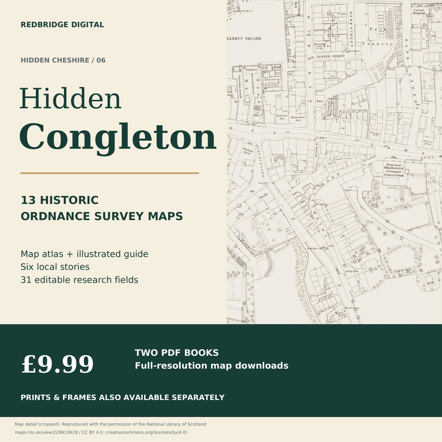
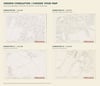

Hidden Congleton — Historic Map Atlas & Illustrated Research Guide
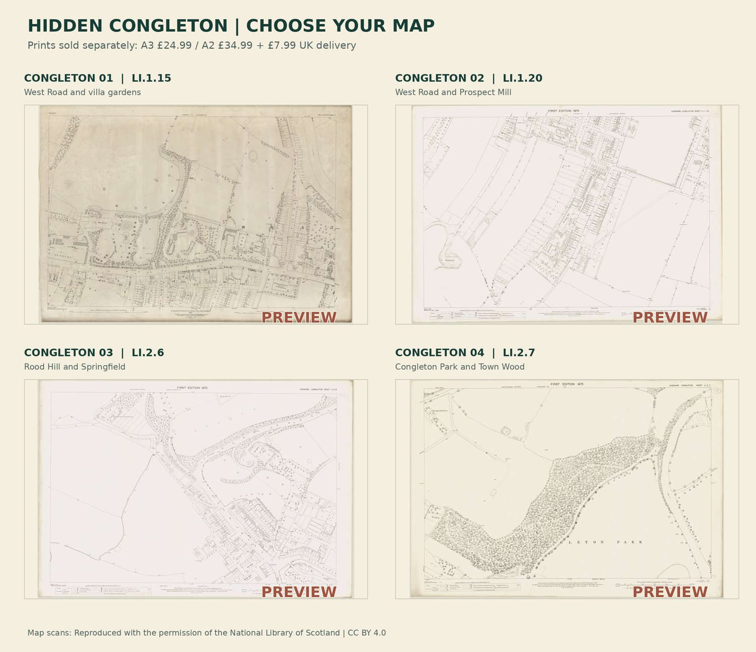
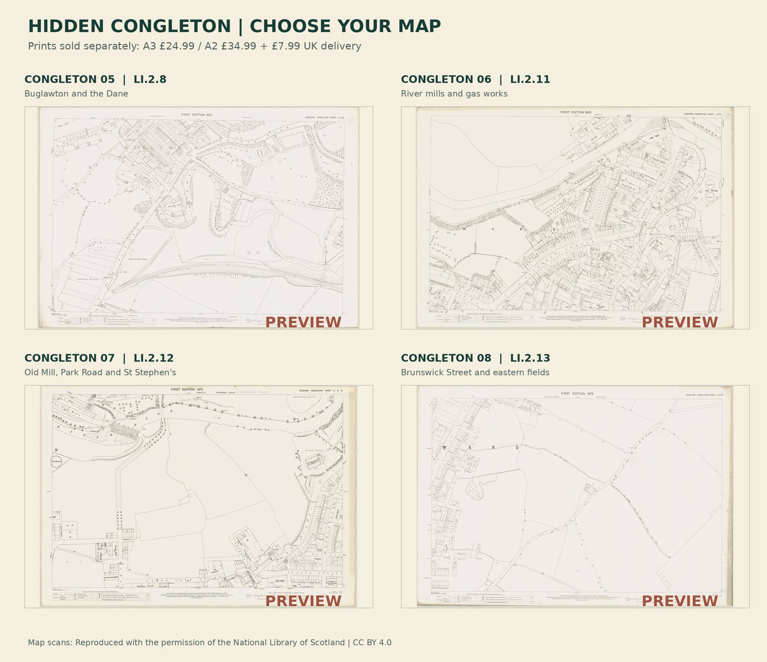
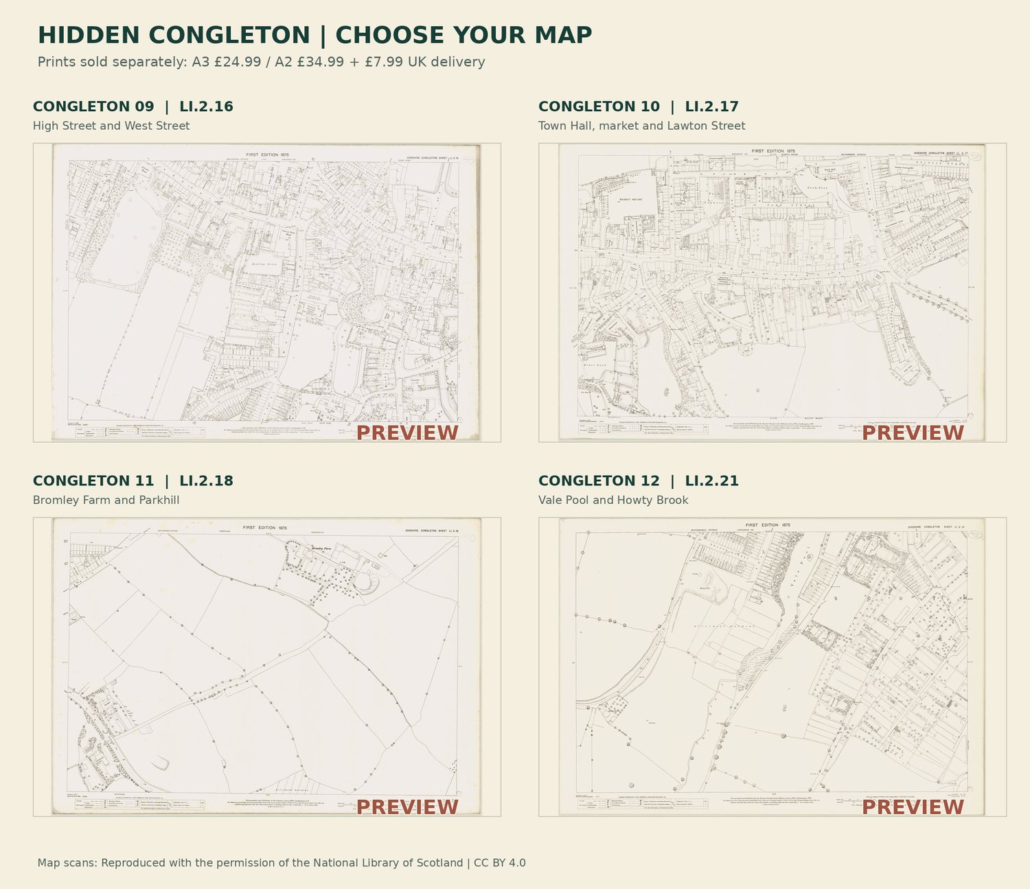
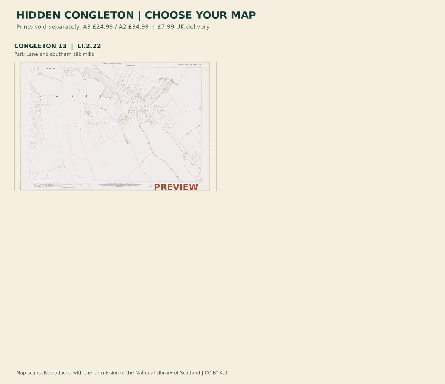
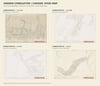
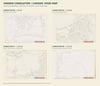
Explore Congleton's markets, parks, river mills and silk industry through 13 selected historic Ordnance Survey sheets.
£9.99 buys two PDFs: a 17-page map atlas and a 20-page illustrated research guide with 31 blank editable fields.
Surveyed in 1873 and first published in 1875. Some copies have later printing notes; a reprint is not a new survey. This is selected coverage, not every modern street. Dates, sources and research references remain in the books.
Full map detail is retained: approximately 196 MB combined. Download fully and use a form-supporting PDF reader for editable pages. One-off digital purchase; no physical delivery.
Want your birthplace framed instead? Request a postcode check, proof and quote:
Prints and frames are separate; no digital purchase is required.
Five download attempts per file; save a local copy.
This purchase covers the edition and original research, not exclusive ownership of the source cartography.