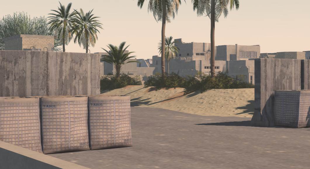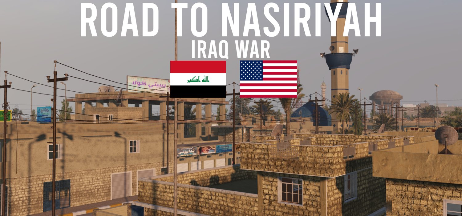


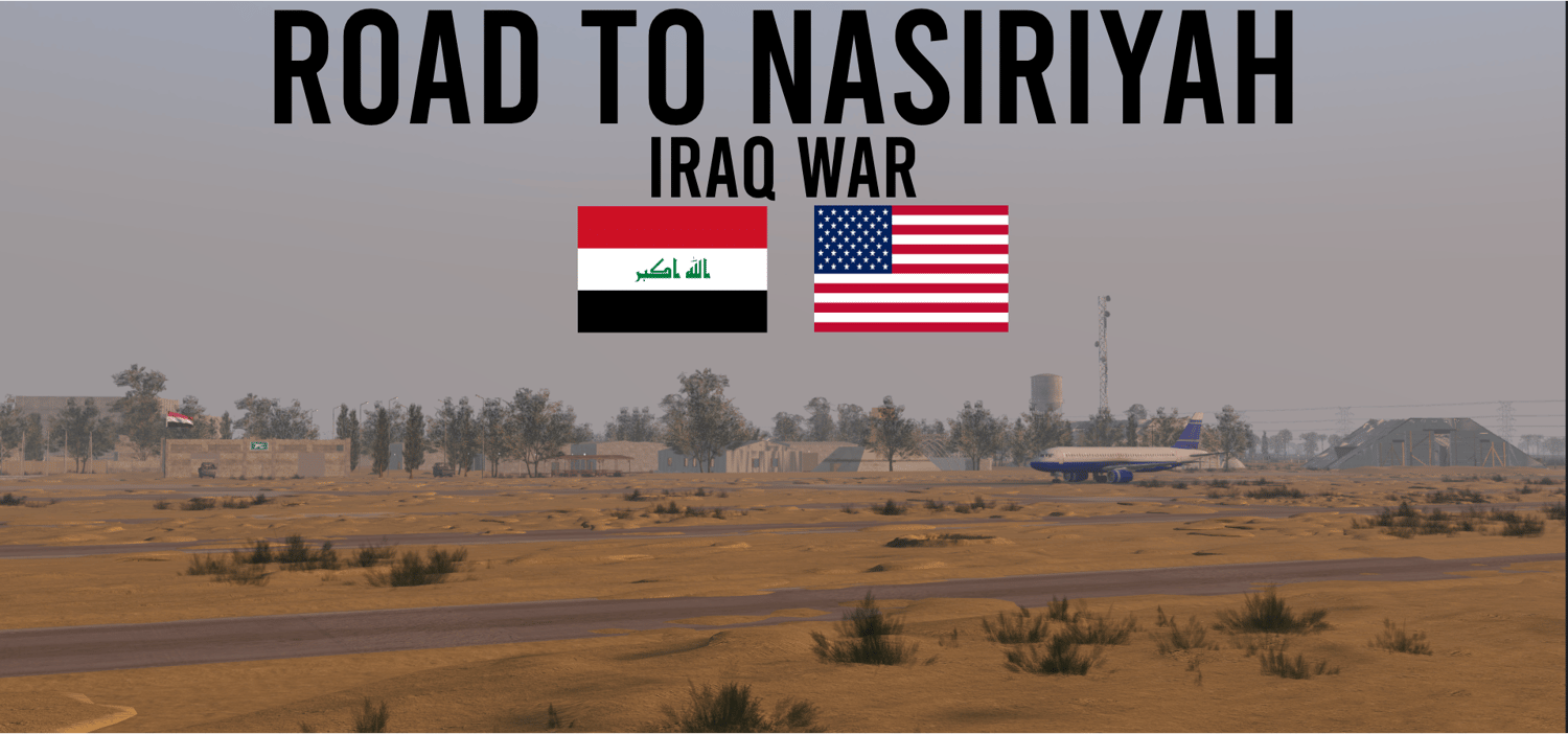


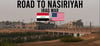
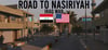

Road To Nasiriyah, Iraq War 2003
On Sale
$29.95
$29.95
Built by Carter, with minor contributions from Sonder, and contributions from his team
VIDEO SHOWCASE HERE [CLICK ME !] THIS SHOWS EVERY DETAIL WITHIN THE MAP !
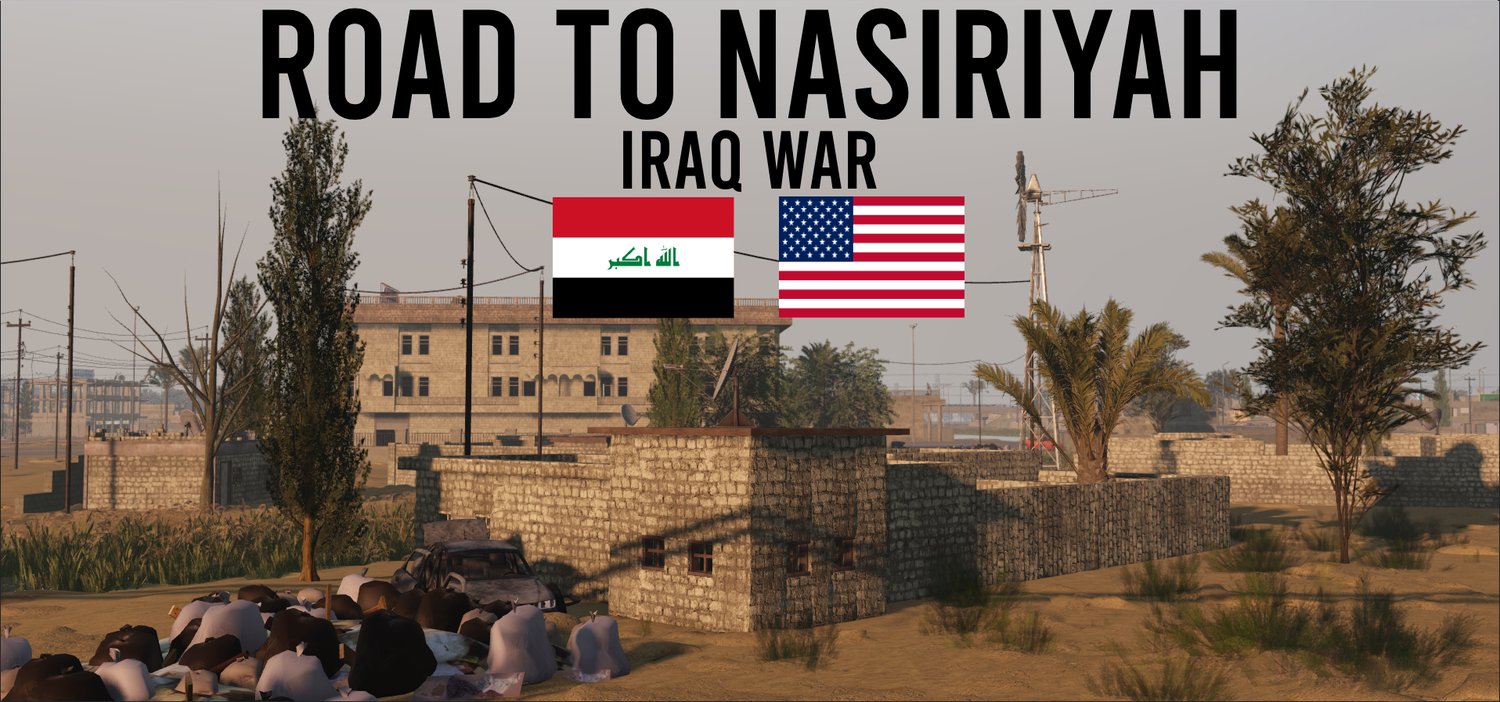
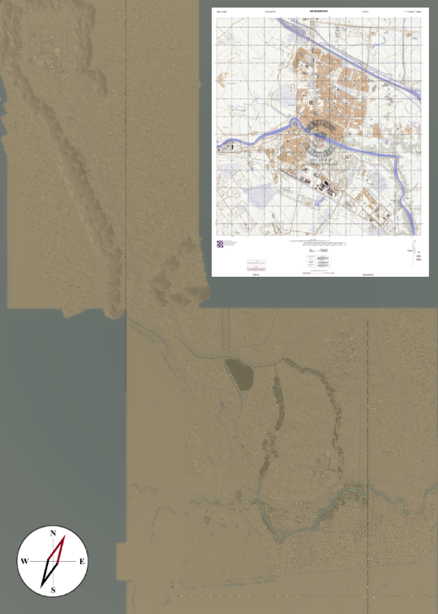
Meant for the 2003 Invasion of Iraq, which hosted mainly US troops, those of the US Army, and Marines. This is an extremely big map, perfect for both long-ranged engagements, or small-mid scale combat engagements, fits perfectly for either a Nasiriyah, Fallujah, Iran, or even a Takistan Milsim.
THIS MAP INCLUDES
- DECENTLY OPTIMIZED [FOR ITS DETAIL AND SIZE] STREAMING ENABLED RECOMMENDED FOR THE BEST EXPERIENCE
- 16.5k x 16.5k map [ONLY THE CITY]
- 16.5k x 10.5k [FOB BASE, CAMP COYOTE KUWAIT]
- Includes various Objectives
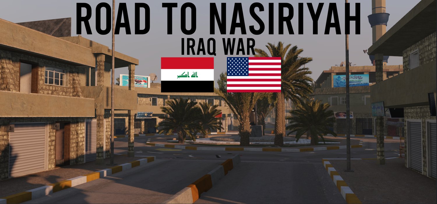
- Includes an extremely dense urban environment
- Includes various Points of Interest
- Includes interiors
- Includes detailed exterior, and streets
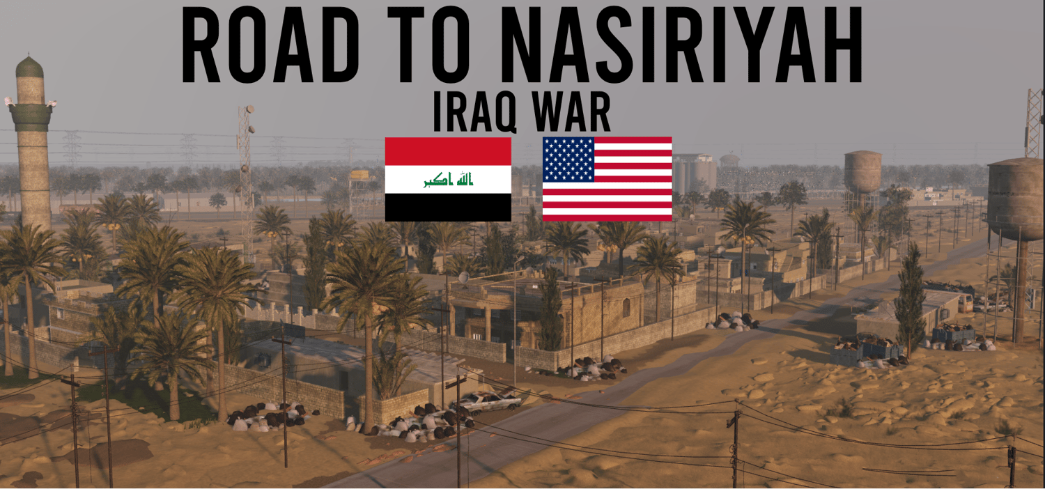
- Includes various scattered Villages and Settlements along the outskirts
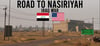
- Includes various vehicle wreckage, blockposts, and outposts along the inner city, and the outskirt of the city
- Includes 1:1 of the Tallil Air Base
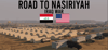
- 10+ Villages, five of those being on the larger size
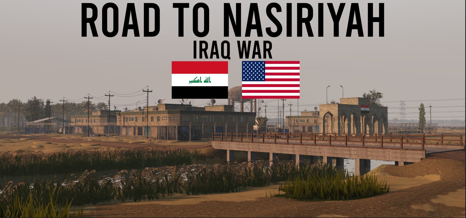
- Euphrates River
- Iraqs Highway "One" comes with working street posts, highway signs, and more
- Main city of Nasiriyah
- Palm Groves/Farms, along the river
- Wheat fields across Villages
- Camp Coyote Kuwait
- Multiple overpasses through the Highway
- Oil Fields
- Multiple Industrial areas
- Six different Mosques
- Four different schools
- Open, yet elevated areas of desert
- Multiple areas of agriculture
- Ziggurat of Ur Temple
- Old Iraqi Compounds
- Nasiriyah University
- Dense and Close-Quarter/Mid-to Long-Range environment
- Numerous dense foliage, & brush around the map
- Custom detailed layouts for villages
- This map is mostly flat, containing connecting tree-lines, and various crossroads
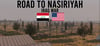
OVERHEAD VIEW OF THE ENTIRE MAP
This is a product provided by Sonders Exclusive