
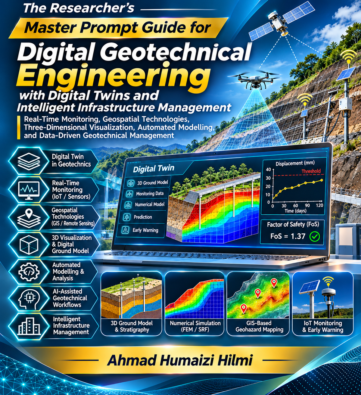
GEO-DIG-008 — Digital Geotechnical Engineering, Digital Twins, Real-Time Monitoring, Geospatial Technologies, Three-Dimensional Visualization, Automated Modelling, and Intelligent Infrastructure Management
Description
This theme examines the digital transformation of geotechnical engineering through the integration of advanced computational modelling, real-time monitoring technologies, geospatial information systems, three-dimensional geological visualization, automated engineering workflows, and intelligent infrastructure management. It encompasses geographic information systems (GIS), building information modelling (BIM), digital ground models, virtual engineering environments, geotechnical databases, Internet of Things (IoT) sensor networks, automated numerical simulation, and digital twin technologies. Particular emphasis is placed on establishing reliable connections between physical geotechnical systems and continuously updated digital representations to improve subsurface characterization, engineering analysis, performance prediction, risk assessment, and infrastructure decision-making.