
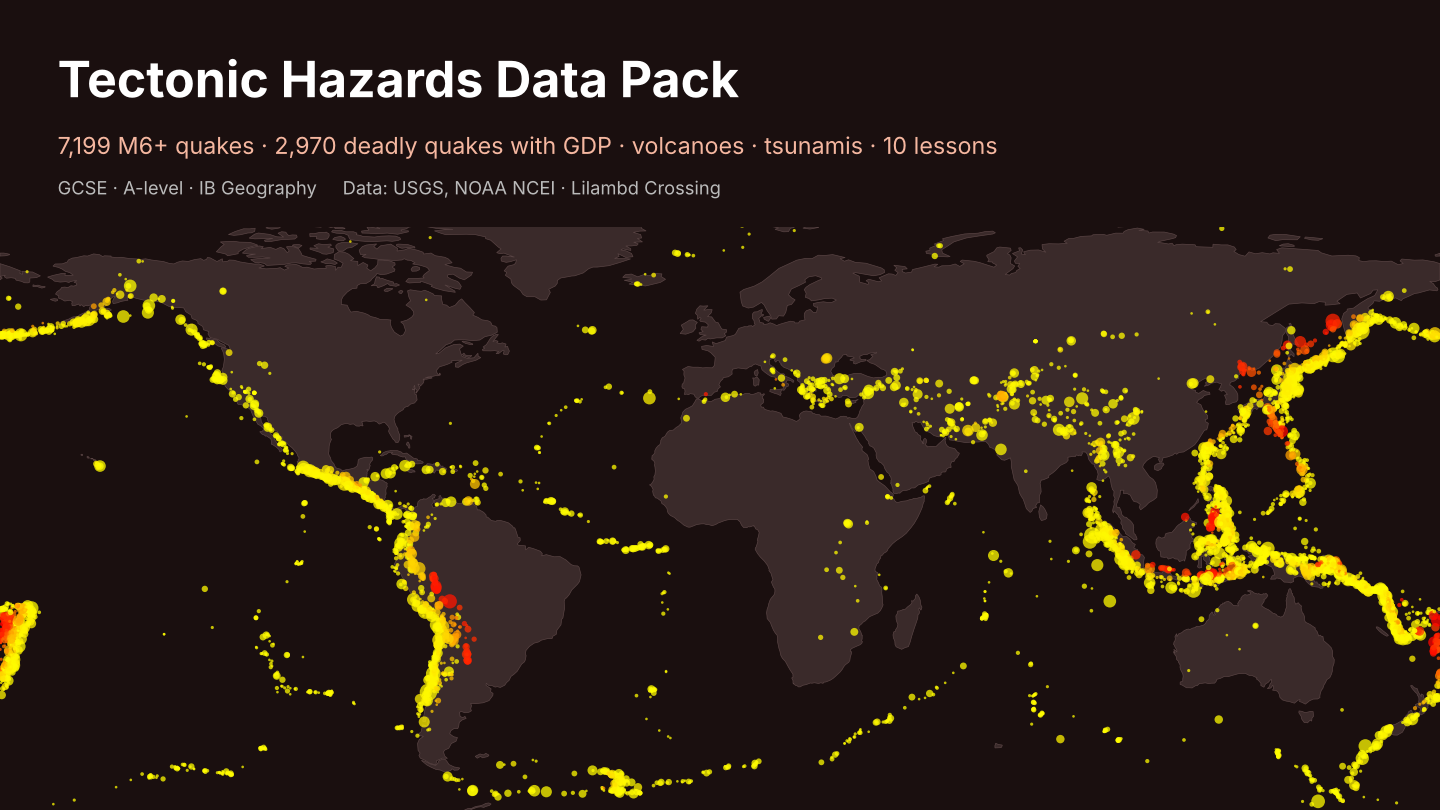
Tectonic Hazards Data Pack: Real Earthquake, Volcano and Tsunami Data + 10 Geography Lessons with Answers
Real hazard data your students can sort, graph and test, with no internet searching needed. - Every M6+ earthquake 1975-2025 (7,199 rows: date, depth, magnitude, place) - 2,970 significant earthquakes since 1950, with deaths, houses destroyed and the country's GDP per capita and income band, for "effects by level of development" questions - 530 volcanic eruptions (VEI, deaths) and 1,664 tsunamis since 1900 - 10 ready tasks with worked answers: plate-boundary patterns, depth, trends, mean vs median, Spearman's rank, case-study pairing - Maps: M6+ quakes by depth on a world map, deaths by income band, blank grid Data: USGS ComCat and NOAA NCEI/WDS hazard databases (US Government, public); World Bank GDP (CC BY 4.0); UN WPP (CC BY 3.0 IGO); Natural Earth (public domain). Licence: use with your own classes; please do not resell.
Built with our own code from public data; the lesson tasks were drafted with AI help and every answer was computed from the data.
Custom data packs, maps or worksheets for your class: hello@lilambd.com
Missing something? Tell us in one line what data, map or calendar you wish existed — email hello@lilambd.com with subject "Data wish". If enough people ask, we build it, and you get it free.