
Florida Beach Towns: Interactive Maps
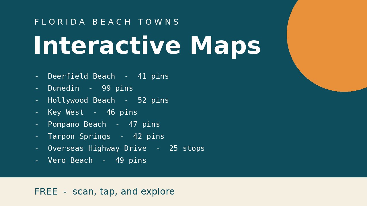
Every interactive map, in one free download. Ten hand-built maps covering our Florida beach towns: tap a pin, filter by category, and plan your day. No app needed, works right in your phone's browser.
- Deerfield Beach Interactive Map, 40+ pins around the pier, the boardwalk, and the Cove.
- Dunedin Interactive Map, 95+ pins: restaurants, shops, hotels, and attractions across downtown and Honeymoon Island.
- Hollywood Beach Interactive Map, 50+ pins: beaches and the Broadwalk, restaurants and bars, hotels, and things to do.
- Key West Interactive Map, 45+ pins: beaches, attractions, restaurants and bars, hotels, and excursions.
- Pompano Beach Interactive Map, 45+ pins: the Fisher Family Pier, beachfront restaurants, craft breweries, museums, resorts, and shops.
- Tarpon Springs Interactive Map, 40+ pins: Greek restaurants, Sponge Docks shops, things to do, and beaches.
- Florida Keys Drive Map, 25 stops along the Overseas Highway, mile marker by mile marker, from Key Largo to Key West.
- Vero Beach Interactive Map, 45+ pins: beaches, restaurants, shops, and things to do.
- - Galt Ocean Mile Interactive Map, 37 pins: oceanfront restaurants, shops, and things to do along Fort Lauderdale's famous mile.
- The PDF has a scannable QR code and a tappable link for each map. Free, and pay what you want if you find them useful.