


About Me
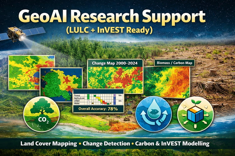
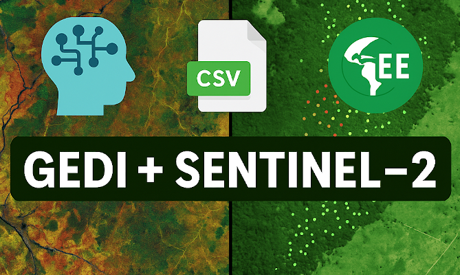
I'm Courage Kamusoko, an independent geospatial consultant based in Japan, specializing in Earth observation data analysis, land use and cover change modeling, Geospatial AI, and the development of innovative geospatial applications. My primary research and consulting focus on applying advanced analyses to remotely sensed imagery, land use and cover change modeling, aboveground biomass estimation, and leveraging machine learning and deep learning in geospatial contexts. Alongside my research and consulting work, I am dedicated to teaching practical applications of machine and deep learning for geospatial data analysis, empowering professionals to harness these technologies in their own projects.
Books published:
1. Kamusoko, C. (In press). Explainable Machine Learning for Geospatial Data Analysis: A Data-Centric Approach. Taylor and Francis.
2. Kamusoko, C. (2021). Optical and SAR Remote Sensing of Urban Areas: A Practical Guide. Springer.
3. Kamusoko, C. (2019). Remote Sensing Image Classification in R. Springer.
4. Kamusoko, C. (2021). Data-centric Explainable Machine Learning for Land Cover Classification: A Practical Guide in R. Self-published (https://aigeolabs.com/books/).
5. Kamusoko, C. (2021). Explainable Machine Learning for Land Cover Classification: An Introductory Guide. Self-published (https://aigeolabs.com/books/).
Books Edited:
1. Murayama, Y., Kamusoko, C., Yamashita, A., Estoque, R.C. eds. (2017). Urban Development in Asia and Africa: Geospatial Analysis of Metropolises. Dordrecht: Springer, 424p.
2. Kamusoko, C., Mundia, C. N. and Murayama, Y. eds. (2011). Recent Advances in Remote Sensing and GIS in Sub-Sahara Africa. New York: Nova Publishers, 211p.