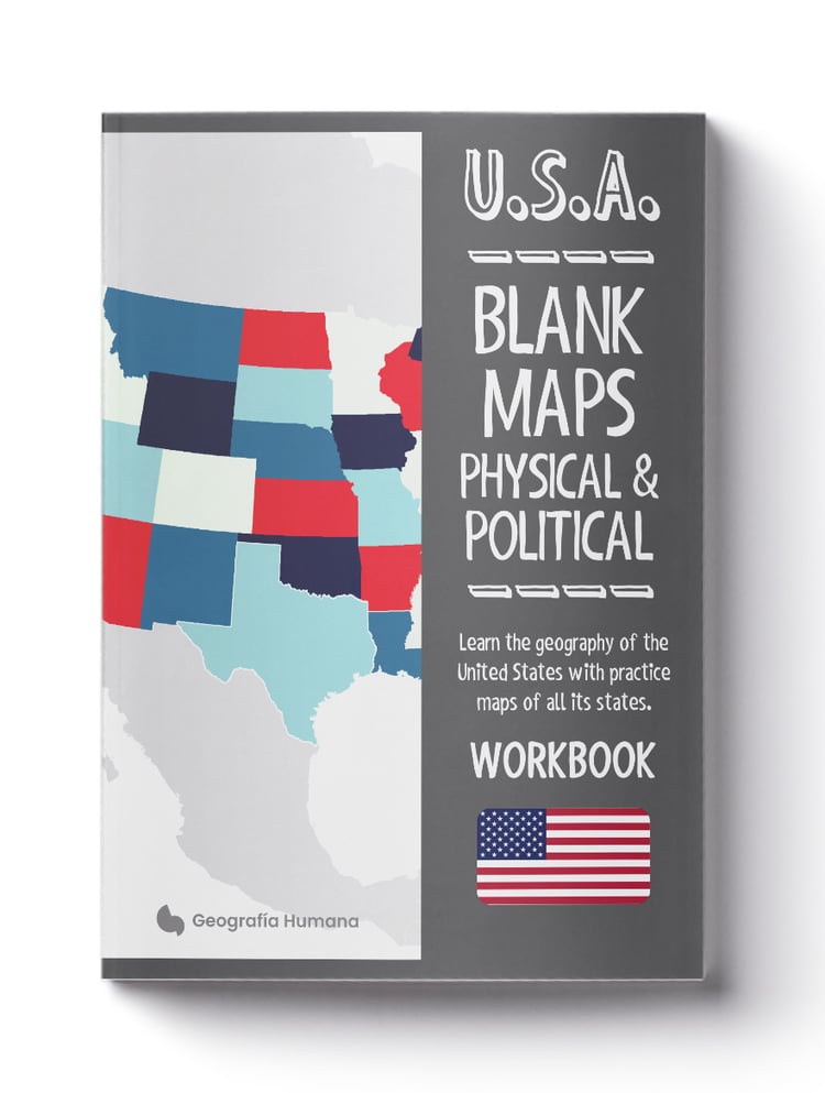
U.S.A. Map by map: Learn United States geography with maps of all the states and territories of the country
On Sale
€6.99
€6.99
With this workbook book, you will quickly and easily learn the geography of the United States.
This exercise and workbook is ideal for children or geography students in the U.S. Perfect as a supplement for homeschooling social studies and geography subjects.
It contains maps of all the states and territories with information about each, including regions, capitals, major cities, location within the U.S., flags, and additional data such as population, and area.
With blank practice maps, you can write the information you’ve learned while coloring each map and flag.
- Includes maps for the following states and territories: Alabama, Alaska, Arizona, Arkansas, California, Colorado, Connecticut, Delaware, Florida, Georgia, Hawaii, Idaho, Illinois, Indiana, Iowa, Kansas, Kentucky, Louisiana, Maine, Maryland, Massachusetts, Michigan, Minnesota, Mississippi, Missouri, Montana, Nebraska, Nevada, New Hampshire, New Jersey, New Mexico, New York, North Carolina, North Dakota, Ohio, Oklahoma, Oregon, Pennsylvania, Rhode Island, South Carolina, South Dakota, Tennessee, Texas, Utah, Vermont, Virginia, Washington, West Virginia, Wisconsin, Wyoming, and the U.S. territories of American Samoa, Guam, Northern Mariana Islands, Puerto Rico, and the U.S. Virgin Islands.