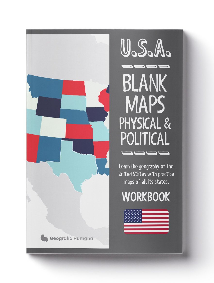
U.S.A. Blank Maps: Learn United States geography with blank maps of all the states and territories of the country
On Sale
€6.99
€6.99
With this notebook featuring 232 colorful physical and political blank maps that can be cut out, you will learn U.S. geography quickly, easily, and enjoyably.
This map workbook is ideal for children or students studying U.S. geography. It serves as the perfect aid for at-home education in social sciences and geography.
Containing double-sided blank maps of the United States and all its states and territories, both physical and political, this workbook allows you to jot down geographical data with ease.
Included are a total of 232 blank maps of U.S. geography, divided as follows:
- Two physical blank maps and six political blank maps of the United States.
- Two physical blank maps and two political blank maps of each of the 50 U.S. states: Alabama, Alaska, Arizona, Arkansas, California, Colorado, Connecticut, Delaware, Florida, Georgia, Hawaii, Idaho, Illinois, Indiana, Iowa, Kansas, Kentucky, Louisiana, Maine, Maryland, Massachusetts, Michigan, Minnesota, Mississippi, Missouri, Montana, Nebraska, Nevada, New Hampshire, New Jersey, New Mexico, New York, North Carolina, North Dakota, Ohio, Oklahoma, Oregon, Pennsylvania, Rhode Island, South Carolina, South Dakota, Tennessee, Texas, Utah, Vermont, Virginia, Washington, West Virginia, Wisconsin, Wyoming.
- Physical and political blank maps of U.S. territories such as Puerto Rico, Guam, the U.S. Virgin Islands, American Samoa, and the Northern Mariana Islands.