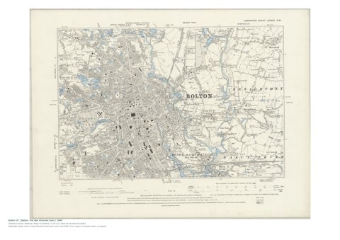
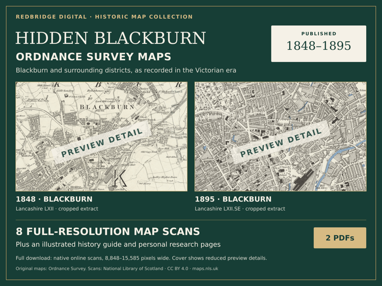
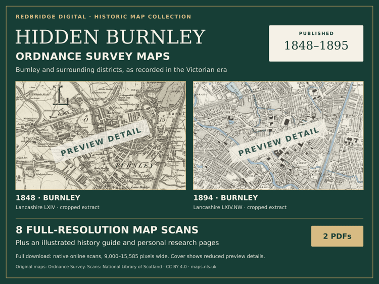
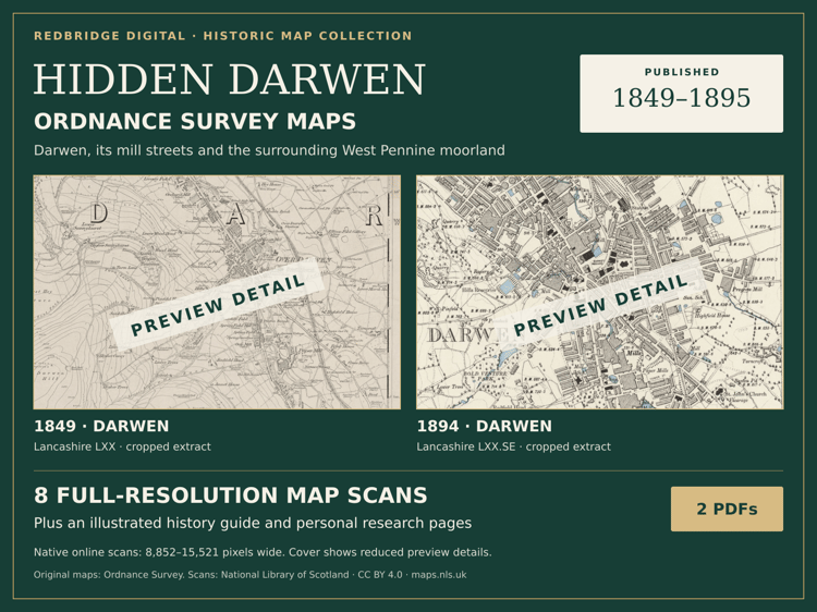
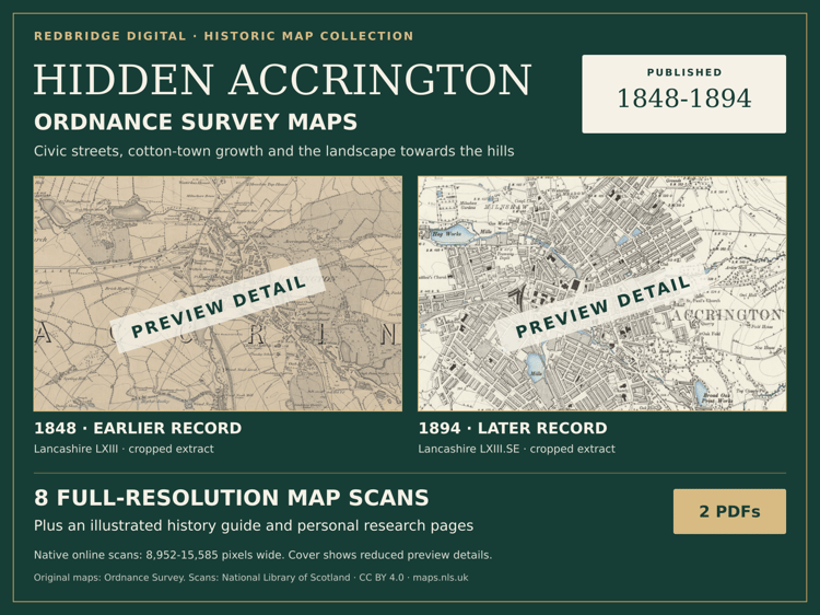
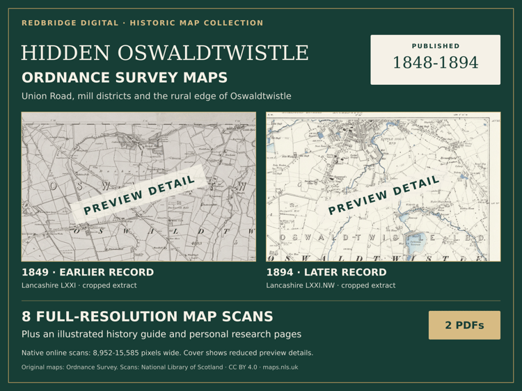
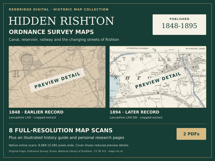
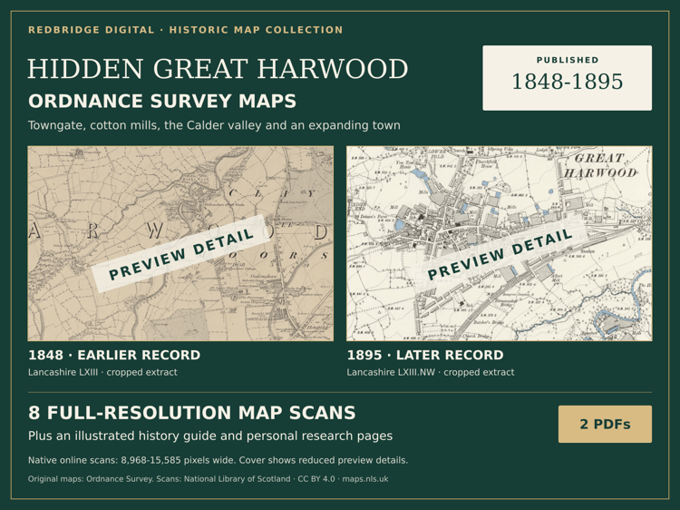
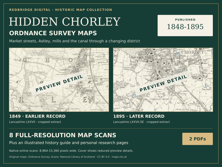
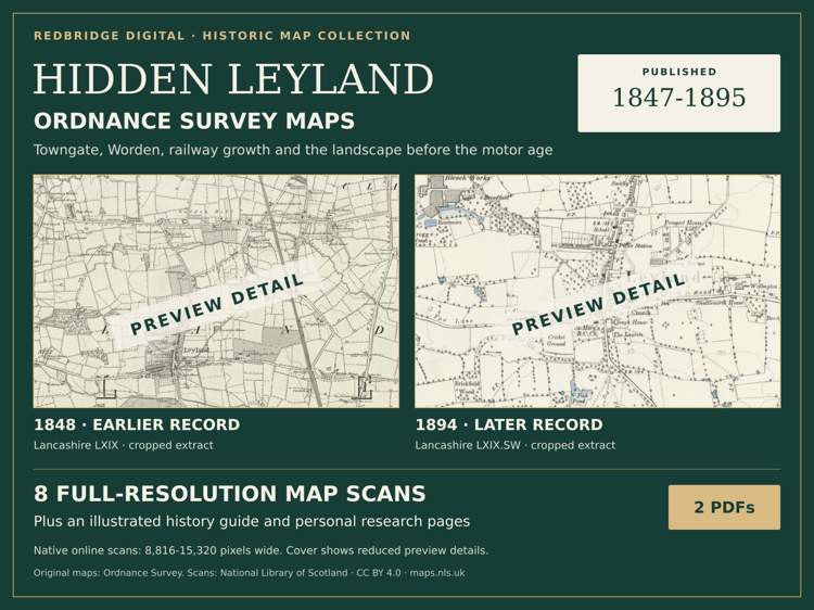
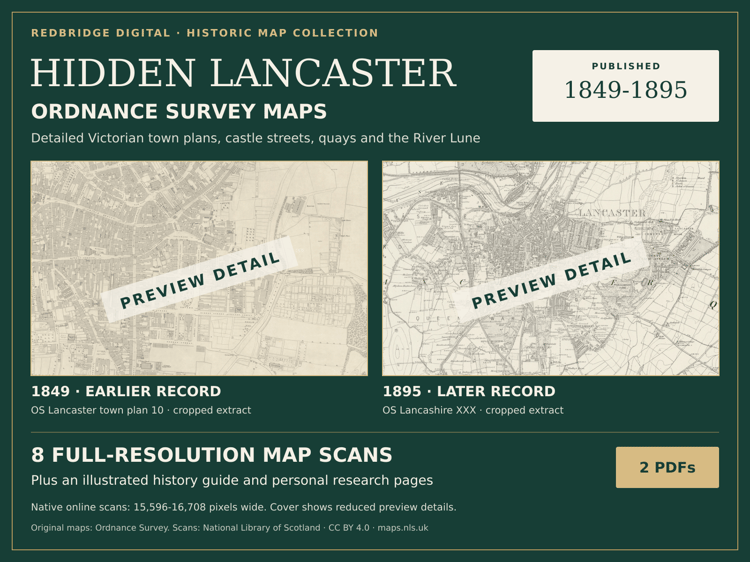
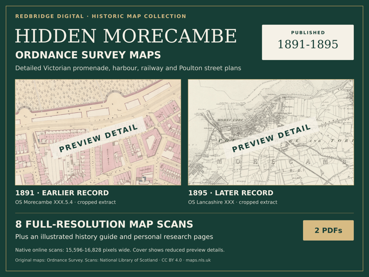
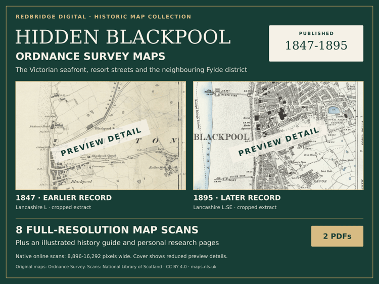
Follow old streets, mills, railways and seafronts across Lancashire. Compare the places you know with the Victorian landscape, or start exploring an address from your family history.
YOUR BUNDLE
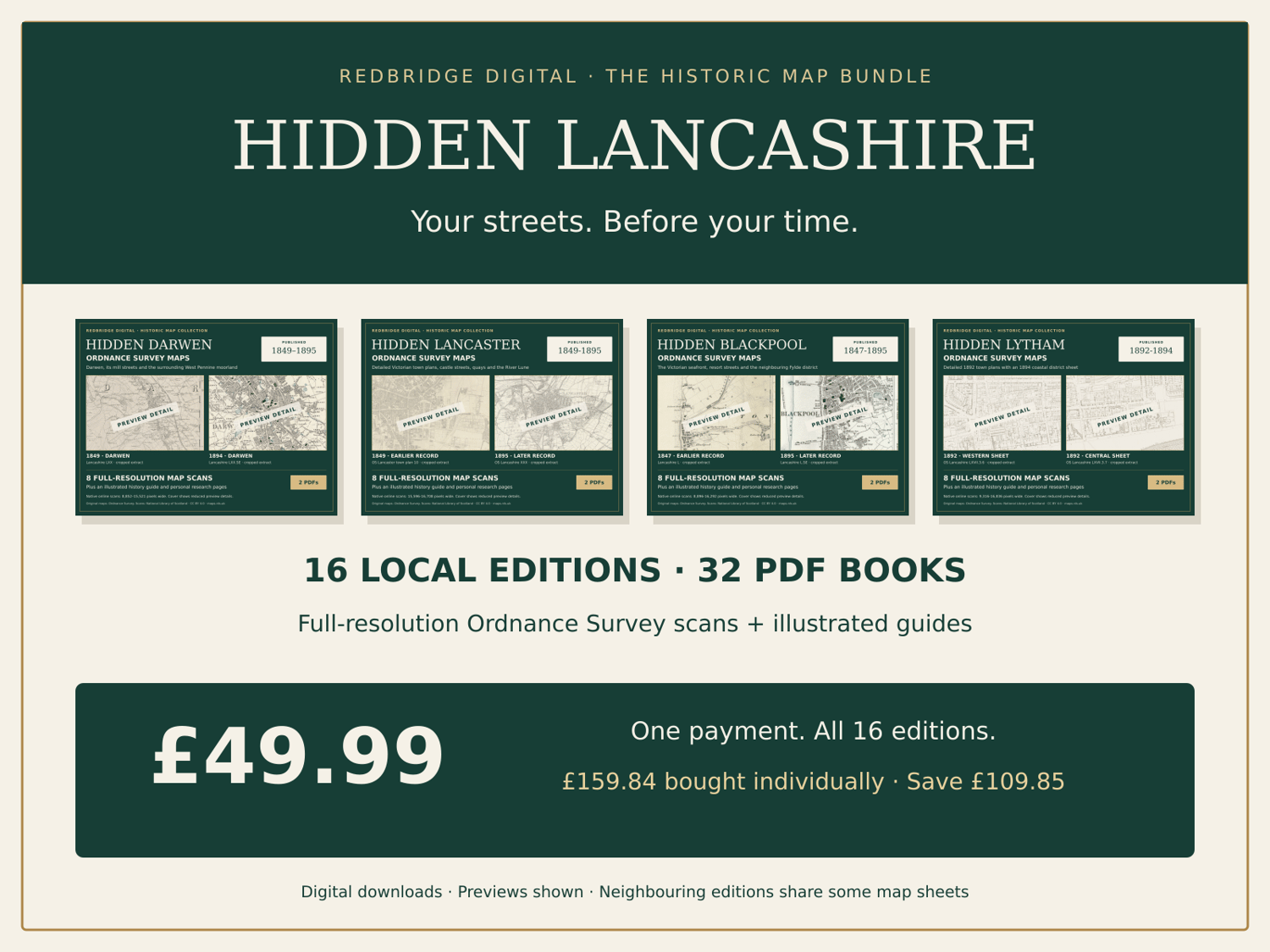
16 map atlases and 16 illustrated local-history guides — 32 downloadable PDF books. Each edition includes eight selected historic Ordnance Survey sheets, six local stories, credited later photographs, source links and editable research pages.
ALL 16 EDITIONS INCLUDED
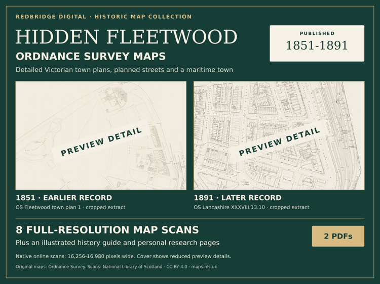
Bolton, Preston, Blackburn, Burnley, Darwen, Accrington, Oswaldtwistle, Rishton, Great Harwood, Chorley, Leyland, Lancaster, Morecambe, Blackpool, Fleetwood and Lytham.
£49.99 ONCE
These editions total £159.84 at their current individual prices. Buy the bundle for £49.99 and save £109.85. This is a one-off purchase, with no subscription.
FULL-RESOLUTION MAP SCANS
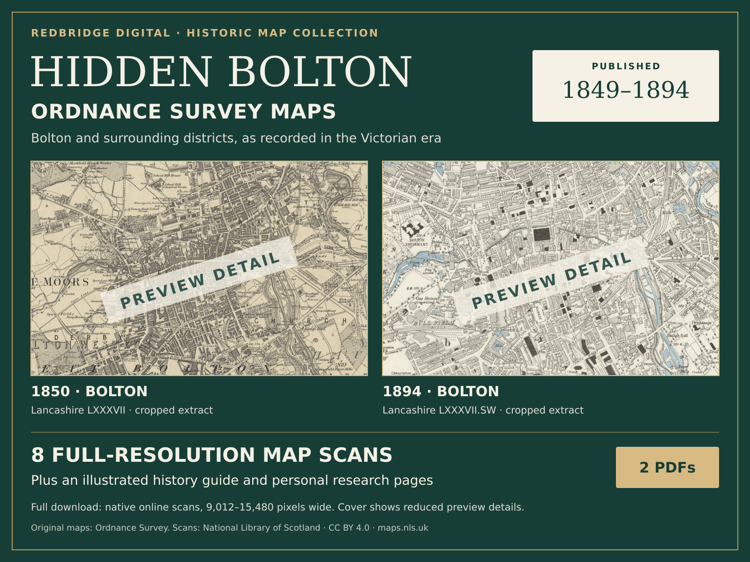
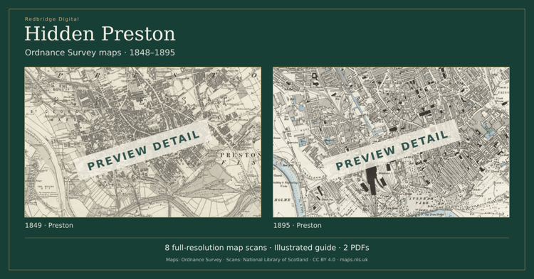
The atlas images retain the native pixel dimensions of the National Library of Scotland’s online scans, with practical JPEG compression and no pixel resizing. Zoom into the original detail. These are genuine period maps, not AI recreations. The selected publications span 1847–1895; dates and coverage vary by edition.
A CLEARLY DEFINED COLLECTION
This bundle contains the 16 editions listed above. Neighbouring editions share some wider-area map sheets, so the bundle does not contain 128 unique maps. Each local guide has its own research focus. No printed item or bespoke address research is included.