
RTOPO Hydrology CAD for topography + 3D CNC milling from DXF, Trial version
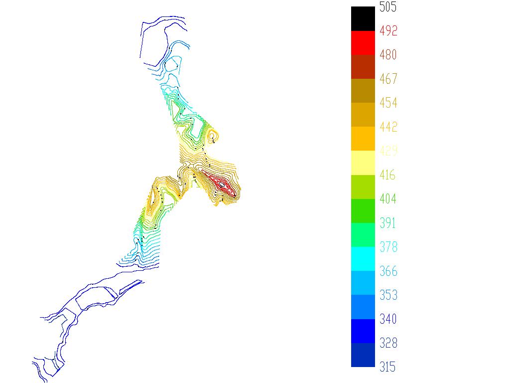
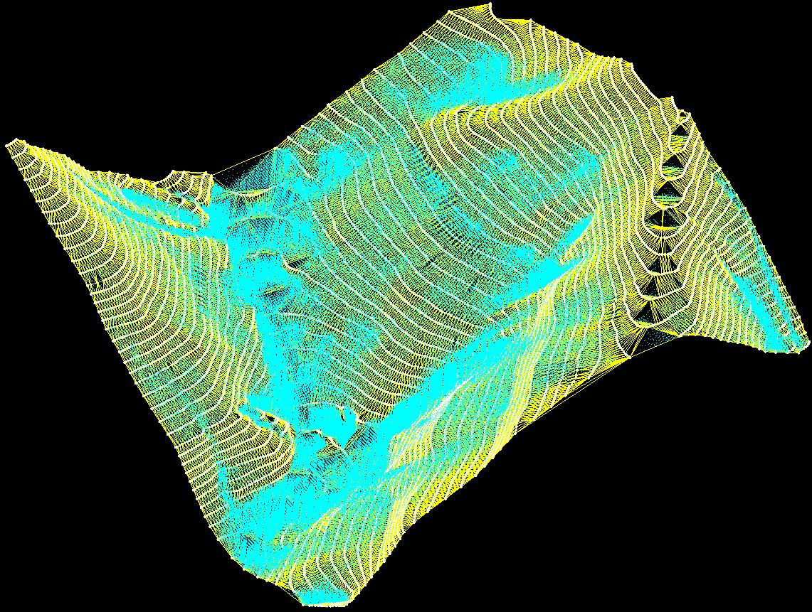
Simple, powerful and inexpensive CAD software for surveying. You can do triangulation, isolines, color-filled contour maps, sections, intersections, volume, editing XYZ files and much more. You can represent 4D points cloud and process hundreds of thousands of points or triangles, even on less powerful PCs.
You can also simulate rainwater runoff. You can thus identify the watershed, the flooded areas, the speed and level of the water.
You don't need another CAD system. RTOPO has its own CAD system. RCAD graphic core, distributed together with RTOPO, provides OpenGL real-time orbit, pan, zoom, shading, lighting and motion path animation.
You can use trial versions which, although limited, can still solve the problems you have in your design. In addition, you can test and get used to the programs, in case of purchasing the full version.
Also contains the "3D CNC milling from DXF + VDAFS to DXF" program, trial version.
This small amount will help us to further develop the software. Payment by card is absolutely safe, through Paypal or Stripe. Both are extremely popular and secure payment providers. You don't need to have a PayPal account to pay through PayPal. Thank you in advance.
If you have an urgent design problem or you want a free trial of the program, send us the data to office@rcad.eu and we will solve the problem immediately by running the program.