
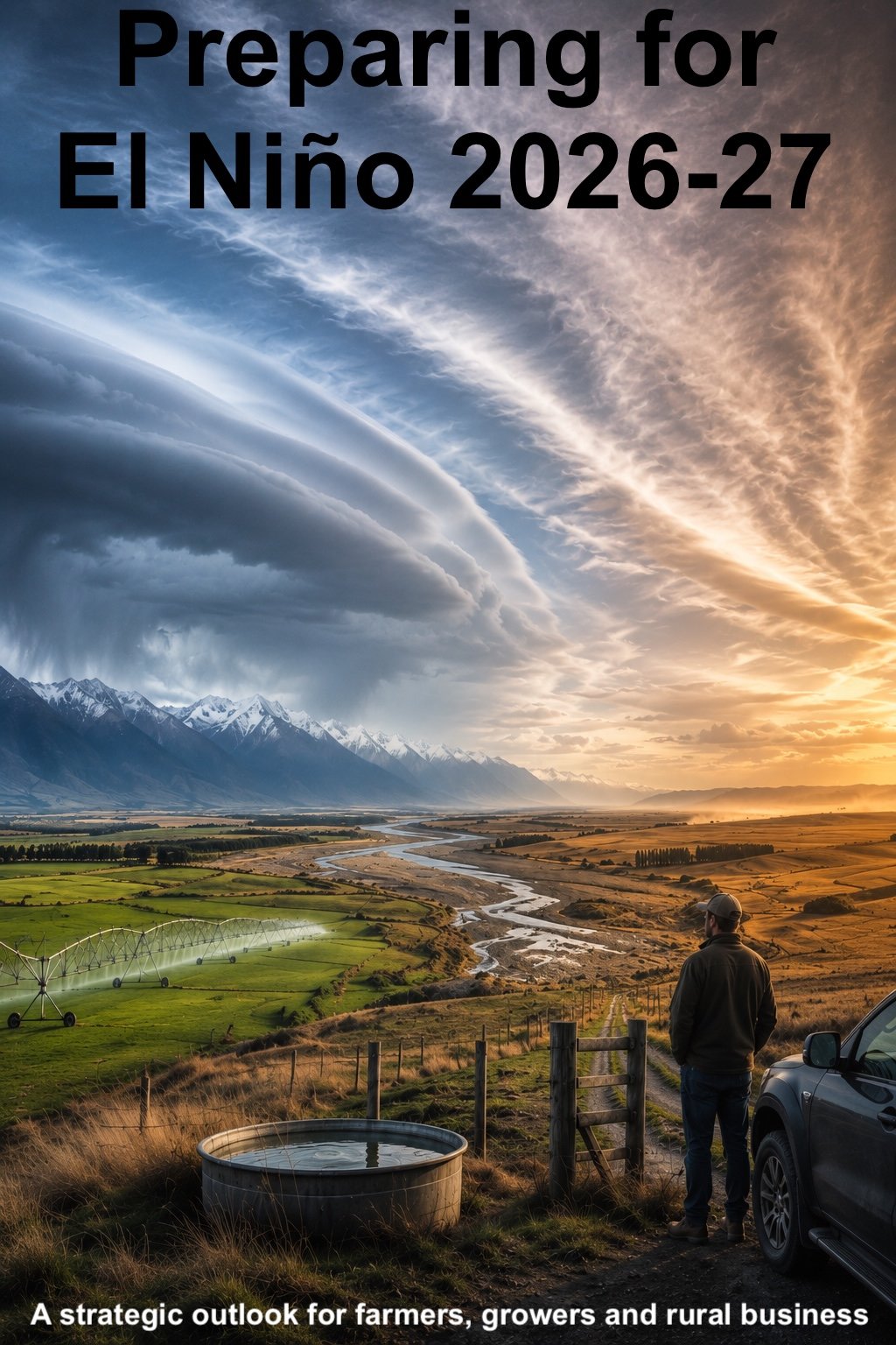
Preparing for El Niño 2026-27
THE WINDY EL NIÑO — a strategic outlook report for New Zealand farmers, growers, and rural business
The August model runs have escalated the picture. This El Niño is now tracking to be the strongest Pacific Ocean event in at least 150 years — into the territory of the extreme 1877-78 event. But New Zealand's version of it is not the hot, blocked summer most people expect: it is a windy one, and that changes what preparation actually looks like. The fully revised August edition of Blue Skies' El Niño report is available now.
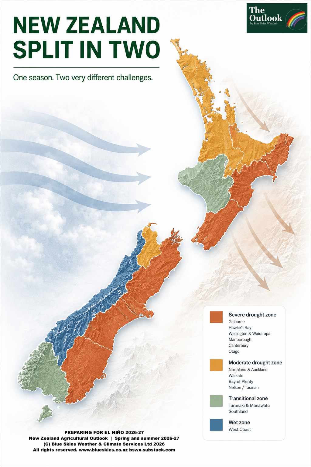
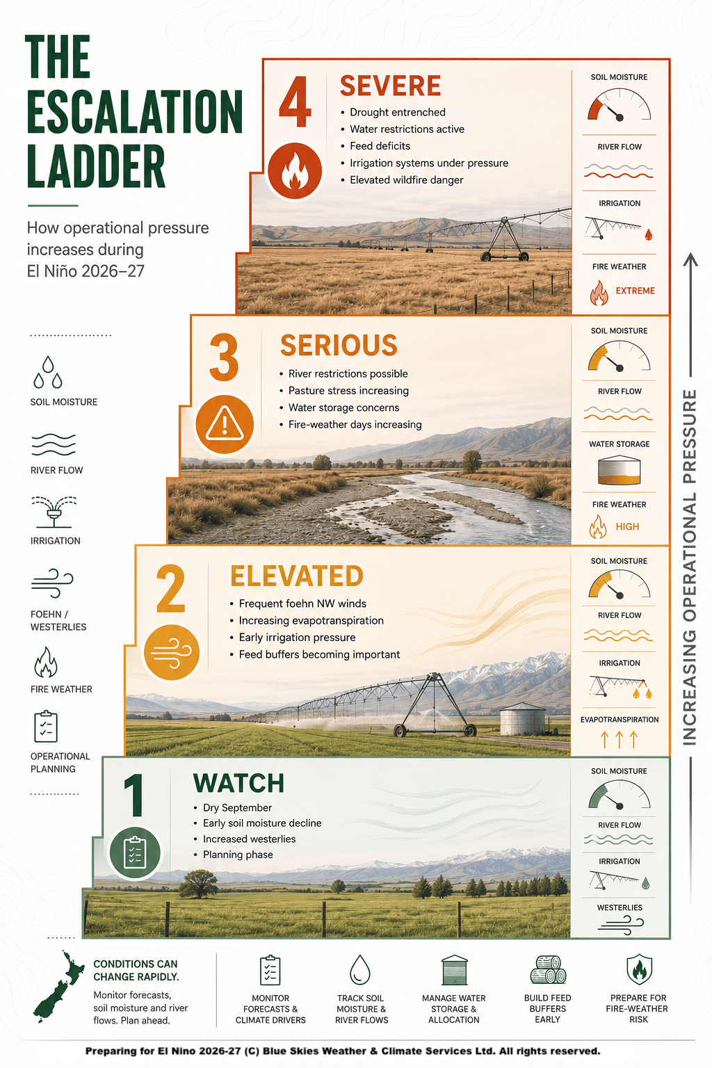
Two of the world's leading forecast systems, run independently, now agree the Pacific event will peak above every El Niño in the instrumental record. Yet the New Zealand outlook has not escalated by the same amount — and understanding why is worth more to your planning than the headline number. The season the models show is a windy, changeable westerly summer: dry in the east and north, wet on the alps and the West Coast, temperatures near normal. Drought delivered by wind and evaporation, not heat — the 1982/83 template, not a heatwave. The report explains the mechanism, what it changes on your farm, and the month-by-month decisions it forces from September through March.
This is the third edition of a report that revises openly as the evidence moves — the August edition supersedes the July update and the original May outlook, and shows you exactly what changed and why.
What's in the report
- What has changed and what hasn't — the record-strength reassessment, and why a record ocean event does not mean a record New Zealand drought
- The One Page — the whole season and the do-by-when list, on a single page
- What history says — 1877/78 (first-hand stock inspectors' records), 1982/83 and 1997/98, and the practical lessons each carries for this season
- Three scenarios, reweighted — the central case, the record-strength upside, and the moderated case, with what each looks like by February
- The thirteen regions — pattern, confidence, and explicit spring and summer decision points for every NZ forecast region
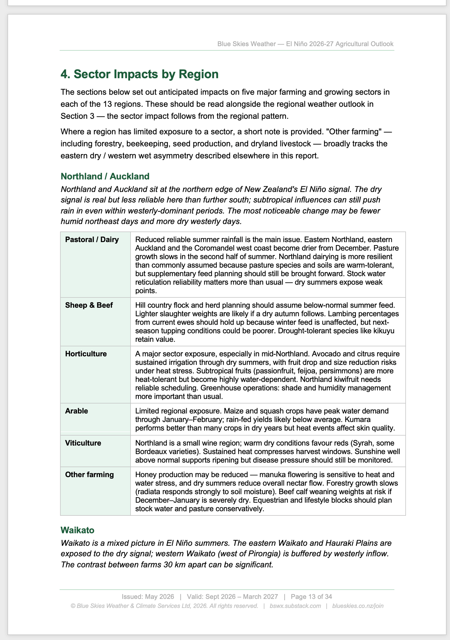
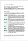
- Sector impacts by region — pastoral & dairy, sheep & beef, horticulture, arable, viticulture, and other farming, region by region
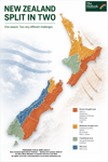
- Regional preparation priorities — five zones, from the severe dry east to the wet West Coast and the alpine snow/melt country
- The national decision calendar — month by month from August to March, with the cost of being late for each
- Marker points and watch list — the specific triggers that should change your plan, including the ones that would tell us we're wrong
30+ pages, PDF. Plain-language operational framing throughout. Written for rural decision-makers, not meteorologists.
Why it matters now
The window for low-cost preparation runs is running out. Feed contracts, destocking decisions, irrigation infrastructure checks, banking and processor conversations are all easier and cheaper to handle now than under summer pressure. The directional signal in the August 2026 model guidance is unambiguous: this event is now tracking on the record setting side of plausible outcomes, and operators who move into preparation early will be in materially better shape than those who wait.
About Blue Skies
Tony Trewinnard has been producing seasonal climate forecasts for New Zealand agricultural, horticultural and energy-sector clients for over 35 years. Blue Skies Weather specialises in translating international climate model guidance into the operational planning decisions rural businesses actually face.
Looking for ongoing guidance?
This report is one product in the Blue Skies range. For monthly seasonal outlooks, weekly six-week updates, and direct email access for sector- and catchment-specific questions through the 2026-27 season, the Blue Skies Outlook subscription on Substack at http://bswx.substack.com includes this report and twelve months of regular updates for $395 per year.
Format: PDF, 36 pages, approximately 12MB Issued August 2026 — next update mid September 2026