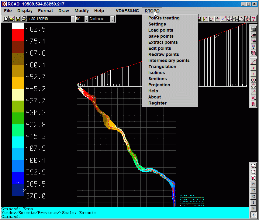
RTOPO Hydrology CAD for topography, update
On Sale
$100.00
(50% off)
$50.00
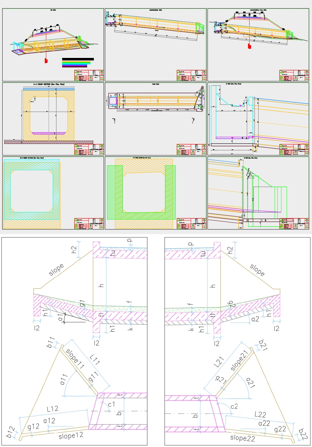
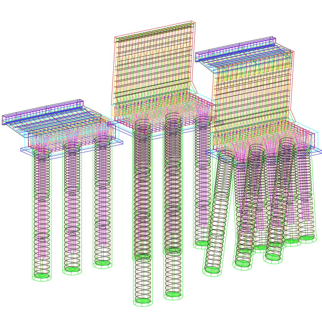
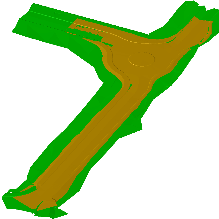
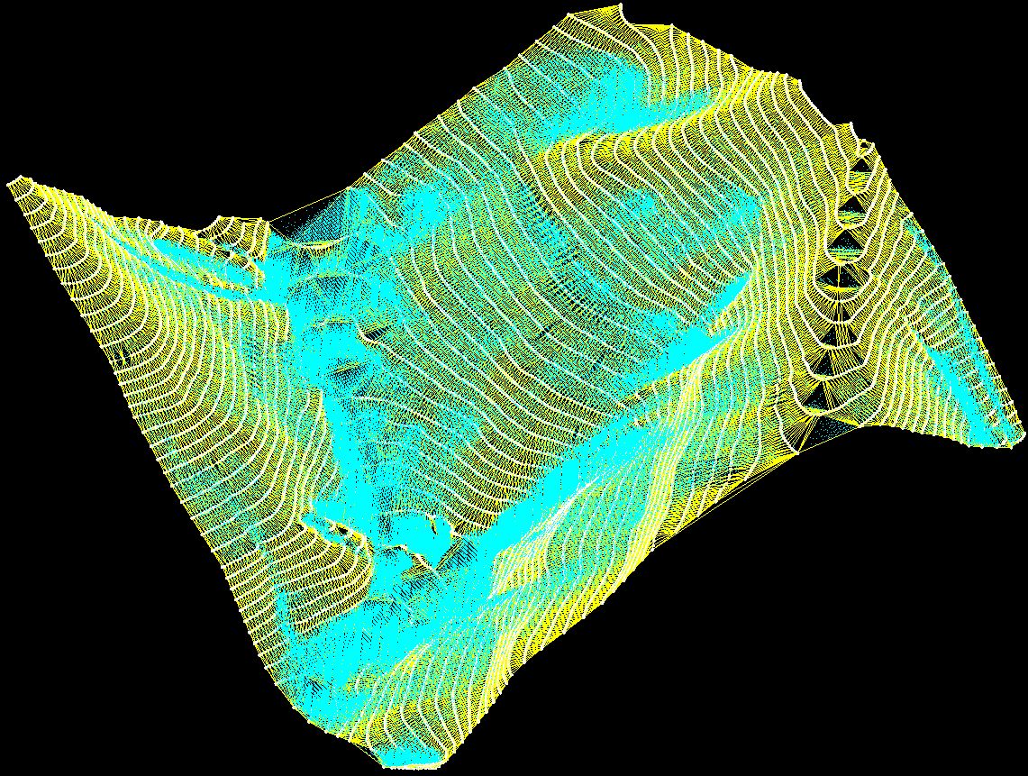
Simple, powerful and inexpensive CAD software for surveying. You can do triangulation, isolines, color-filled contour maps, sections, intersections, volume, editing XYZ files and much more. You can represent 4D points cloud and process hundreds of thousands of points or triangles, even on less powerful PCs.
You can also simulate rainwater runoff. You can thus identify the watershed, the flooded areas, the speed and level of the water.
You don't need another CAD system. RTOPO has its own CAD system. RCAD graphic core, distributed together with RTOPO, provides OpenGL real-time orbit, pan, zoom, shading, lighting and motion path animation.