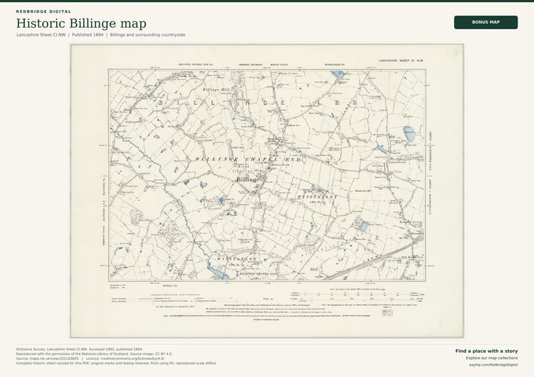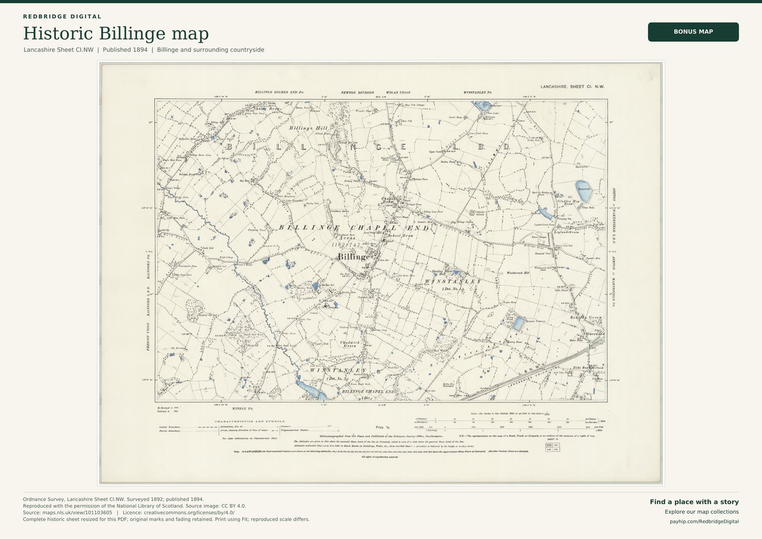
Billinge Bonus Map - 1894 | Map + History PDFs
YOUR BILLINGE MAP + HISTORY - £4.99
Two separate PDFs for £4.99: the complete 1894 Billinge map, prepared for iPad, tablet or computer, plus an eight-page local-history companion. The map includes a 4,096-pixel-wide image, the Redbridge Digital title and source credits.
Open the map in landscape and zoom in to explore the streets, landmarks and countryside. Small historic lettering is best viewed by zooming into the map.
The history booklet covers Billinge Hill and the Beacon, coal mining and quarrying, churches and village life. It includes a dedicated Hare and Hounds page with a family memory of the landlady welcoming men home from the war with free beer. Authentic map details, a timeline and linked sources are included.
OPTIONAL PAPER PRINT OR FRAMED MAP
For a larger display on your wall, choose a professionally produced paper print or framed map. These physical editions use separate, higher-resolution production artwork prepared from the original 9,036 x 6,769-pixel scan.
A3 paper print, unframed - £24.99 (420 x 297 mm).
A2 paper print, unframed - £34.99 (594 x 420 mm).
A3 framed map - £109.99, in black, white or natural oak-effect.
Order a Billinge paper print or framed map
Physical orders have £7.99 tracked UK delivery. The paper print or framed map is purchased separately; no PDF purchase is required. The print-production master files are not included in the £4.99 screen edition.
THE MAP
Explore Billinge on an original Ordnance Survey map, surveyed in 1892 and published in 1894.
The sheet shows Billinge village, Billinge Hill, Chapel End, Chadwick Green and surrounding countryside. Part of our Bonus Maps range: individual historic maps covering specific local areas.
YOUR TWO PDFS
Map PDF: the complete historic sheet, its original marks and fading, the map date and source credits. This edition is prepared for screen viewing; the reproduced scale differs from the original historic sheet.
History PDF: an eight-page companion with authentic map details, a timeline, local history, the Hare and Hounds family memory, and linked references. Both files are included in the £4.99 download.
SOURCE AND LICENCE
Original cartography: Ordnance Survey, Lancashire Sheet CI.NW. Reproduced with the permission of the National Library of Scotland.