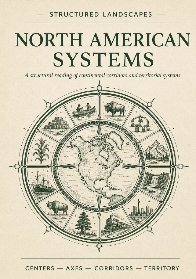

North American Systems. A Structural Reading of Continental Corridors and Territorial Systems
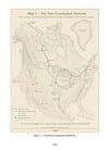
A continent beneath its borders. North America appears on modern maps as Canada, the United States and Mexico. But beneath those political divisions lies a much older geography of watersheds, inland seas, portages, plains, mountain passes, sacred landscapes and maritime gateways. This book follows those structures across thousands of years — from Indigenous networks and New France to western trails, transcontinental railways, industrial systems and today’s continental infrastructure. What begins as a journey through corridors and crossings gradually reveals something larger: a continent whose systems repeatedly change while many of its deepest spatial relationships endure.
What this book reveals
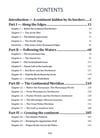
From Beringia to the Atlantic and Pacific coasts, from the Saint Lawrence to the Mississippi, from the Great Plains to the Rockies, North America is explored through successive structural layers.
The book examines:
• Beringia, the Arctic rim and the first human settlement of the continent
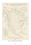
• Indigenous waterways, exchange routes, gathering places and territorial systems
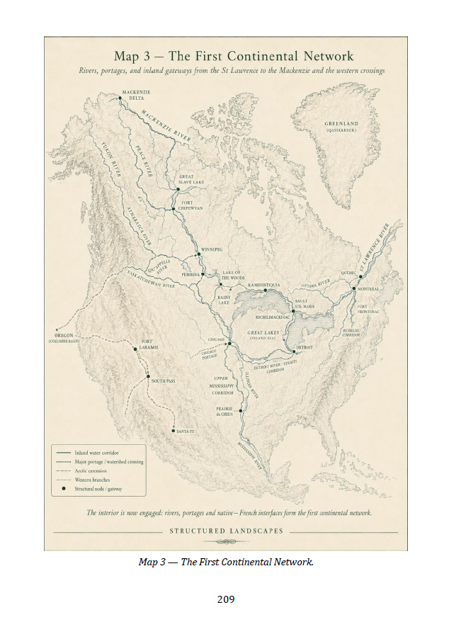
• the Saint Lawrence–Great Lakes system as the first great continental water network
• New France as a network of rivers, portages, posts, alliances, voyageurs and interpreters
• the surviving French geography of Detroit, Prairie du Chien, Des Moines, Laramie and other places
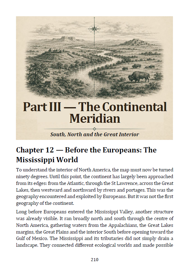
• the Mississippi–Missouri system as an ancient and modern continental meridian
• Cahokia, Hopewell, Pueblo worlds, maize diffusion and long-distance Indigenous exchange
• the Great Plains as a major north–south field of movement
• the Gulf of Mexico as the southern maritime gate
• the Oregon, California, Mormon and Santa Fe trails and the crossings of the Rockies
• Chicago, Omaha–Council Bluffs, Denver, Sacramento and the transcontinental railway systems
• Vancouver, Seattle, San Francisco and Los Angeles as Pacific gateways
• the Great Lakes industrial machine, the Mississippi logistics system and the Gulf energy complex
• BosWash, New York and Washington as a continental command system
• highways, aviation, pipelines, electricity, telecommunications and intermodal networks
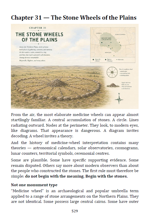
• medicine wheels, watershed divides and the search for a possible North American omphalos
• Majorville, Bighorn–Medicine Mountain, the Black Hills, Triple Divide Peak and the Hill of Three Waters
• the Lower Platte–Missouri / Omaha region as an unexpected modern hinge within the final structural reconstruction
The same continent can be read through many successive systems.
Core Insight
North America is not simply a collection of states, provinces and economic regions.
Its deeper structure appears through persistent interfaces:
river and sea;
lake and strait;
watershed and portage;
plain and mountain;
interior and coast;
continental network and world network.
The question is not:
“Where are the regions?”
but:
“Why do different societies and technologies repeatedly select some of the same passages, nodes and directions?”
The answer is not geographical determinism. Landscapes do not dictate history.
The landscape proposes. Human systems select, amplify, transform — or sometimes bypass.
Yet when Indigenous routes, French waterways, western trails, railways, industrial corridors and modern networks are superimposed, recurrent structures become difficult to ignore.
Inside the Book
✔ 656 pages
✔ Extensively illustrated with maps, historical plans, reconstructions and structural diagrams
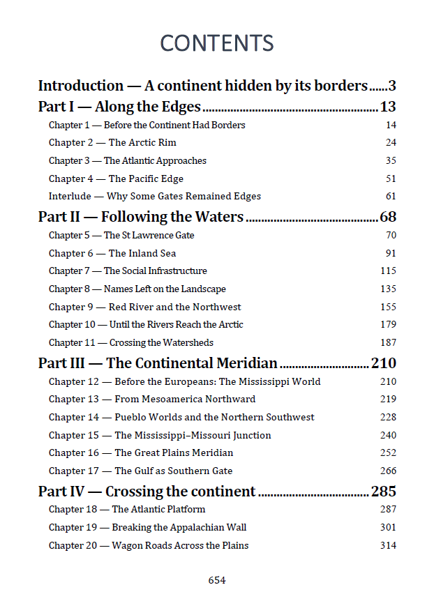
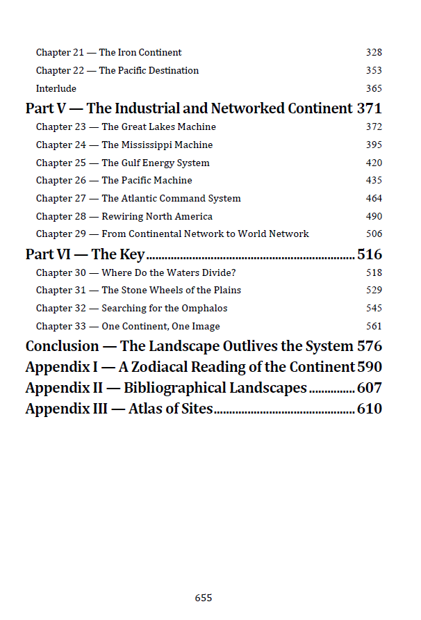
✔ Six major stages, from the continental edges to the final structural key
✔ Indigenous, French, British, Spanish, Russian, Canadian, American and Mexican network layers
✔ Detailed studies of the Saint Lawrence, Great Lakes, Mississippi, Missouri, Plains, Rockies, Gulf and Pacific systems
✔ Urban Zooms and Inserts showing how cities emerge from gateways, straits, confluences and crossings
✔ Historical routes from canoe and portage to wagon road, railway, highway, aviation and digital networks
✔ A dedicated investigation of Majorville and Bighorn medicine wheels
✔ Comparative study of the Hill of Three Waters and Triple Divide Peak
✔ A final competition between five possible omphalos candidates
✔ A layered reconstruction of the North American “wheel”
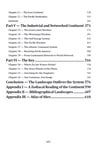
✔ Atlas of 221 Sites with structural roles, coordinates and references
A Different Way of Seeing North America
This is not a conventional history of North America.
It is not a history of the United States with Canada and Mexico added around it.
It is not an archaeological atlas.
And it does not claim that Indigenous medicine wheels were secret maps of the continent.
Instead, the book asks what happens when political borders are temporarily removed and successive spatial systems are placed upon the same landscape.
Water comes first.
Then Indigenous routes.
Then New France.
Then continental expansion.
Then rail.
Then industrial and contemporary networks.
Some new systems follow ancient corridors.
Others cross them.
Others appear to escape geography entirely — yet often concentrate again at old gateways and accumulated nodes.
Medicine wheels enter the investigation only at the end, after the observable networks have already been reconstructed. Their circles, cairns and spokes are therefore treated as archaeological and ceremonial realities in their own right, not as proof of a single pan-Indigenous continental doctrine.
The evidence remains separate from the structural hypothesis.
The Final Image
The investigation eventually returns to a deceptively simple question:
Does North America have a centre?
Hibbing offers the Hill of Three Waters.
Triple Divide Peak divides three continental drainage systems.
Majorville and Bighorn–Medicine Mountain provide ancient radial ceremonial landscapes.
The Black Hills form a wider sacred field.
None alone explains the continent.
The result is therefore not one magical point, but a broader Northern Plains structural field, connected to the Lower Platte–Missouri hinge around Omaha–Council Bluffs and surrounded by successive rings of continental and maritime networks.
The final image superimposes:
water
→ Indigenous routes
→ New France
→ western expansion
→ rail
→ contemporary networks.
What remains is not one civilization’s map.
It is the persistence of certain relationships through radically different times.
The Landscape Outlives the System
Serge Bouchard’s vanished French travellers provide one of the clearest clues.
Their political world disappeared.
Their language retreated.
Yet French names remain scattered across American geography because many of those names were attached to places that later systems continued to use.
The same principle extends much farther.
Peoples change.
States change.
Technologies change.
Networks change.
But a strait remains a passage.
A confluence remains a junction.
A low divide remains a possible crossing.
A great river still organizes its basin.
A coast can still become a gateway.
The system passes.
The landscape remains.
Format: PDF
Length: 656 pages
Series: Structured Landscapes — Symbolic Landscapes Collection. Centers. Axes. Corridors. Territory.