
Topography in AutoCAD or BricsCAD + DWG to Google Earth, Perpetual version
On Sale
$79.00
$79.00
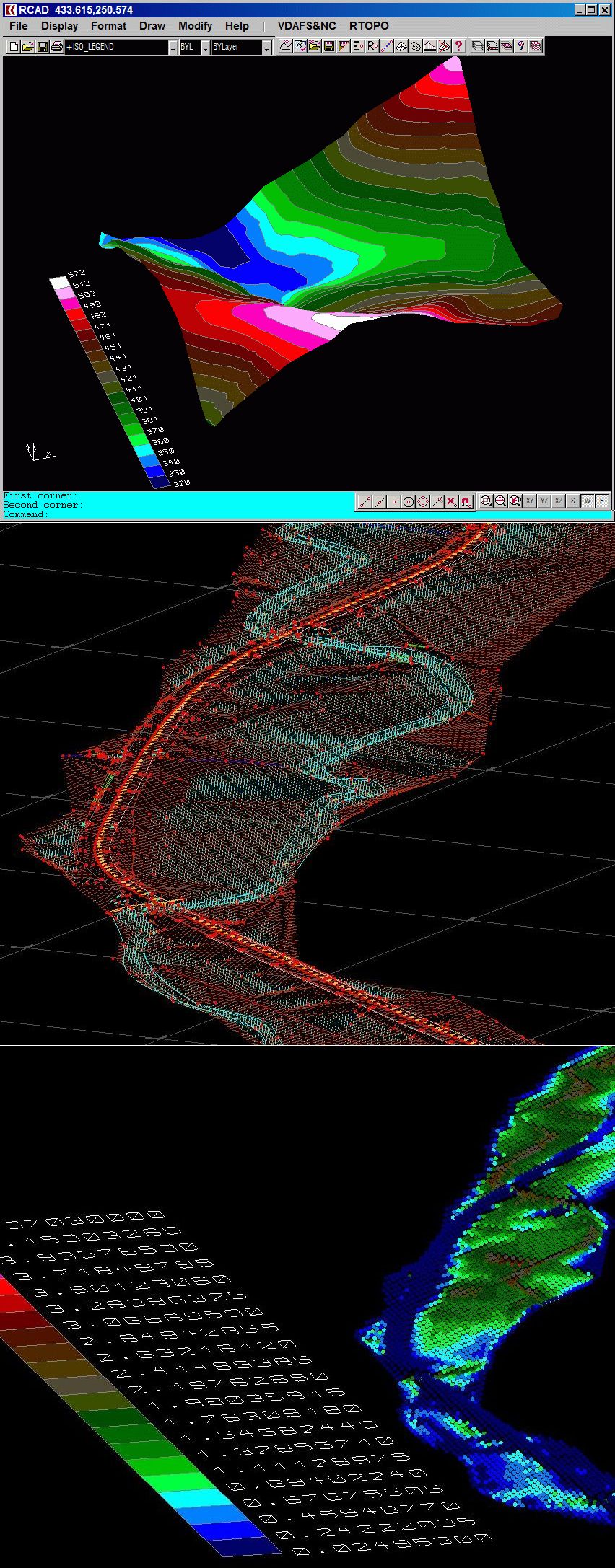
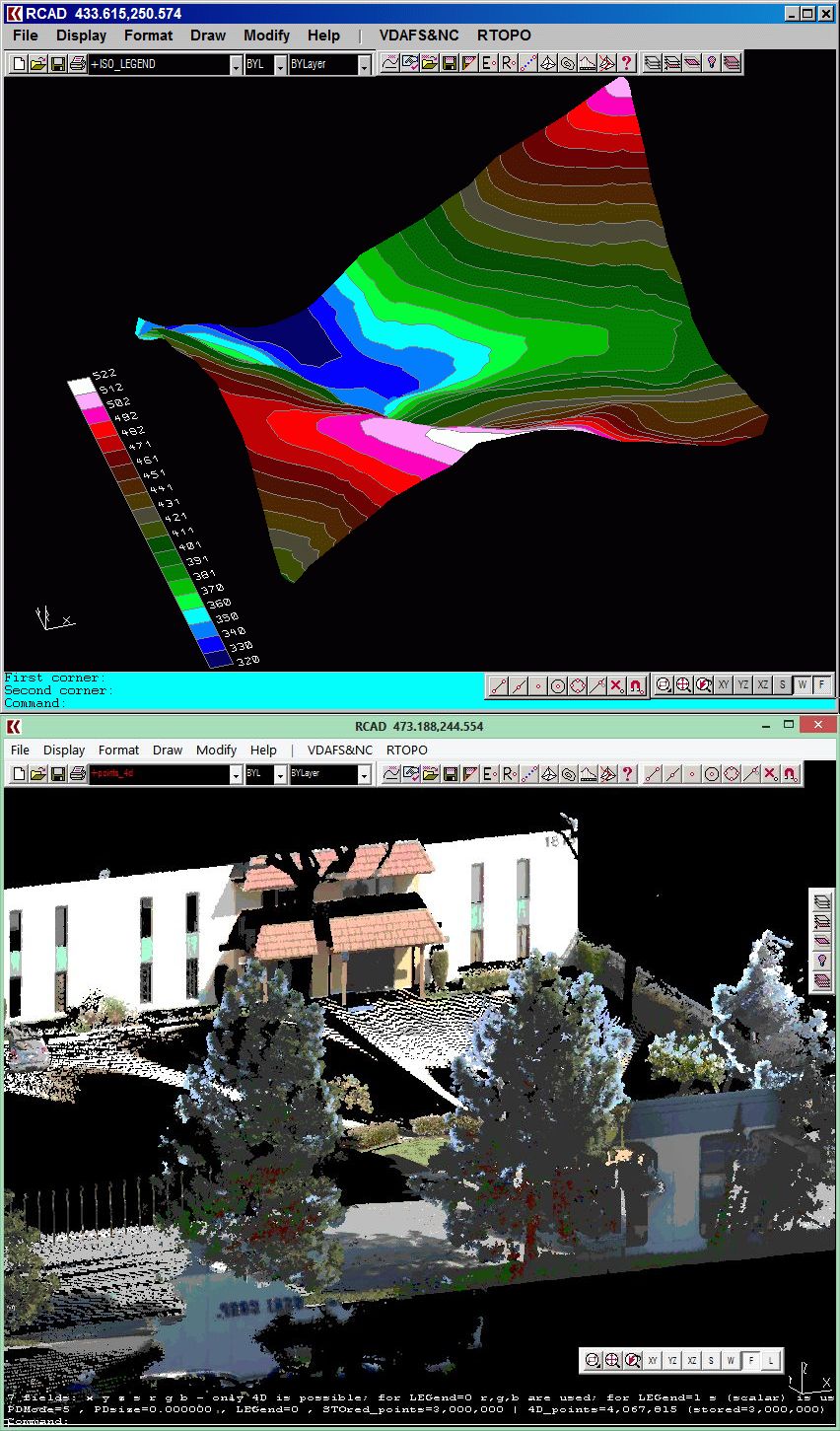
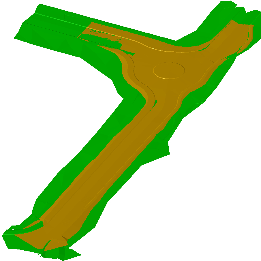
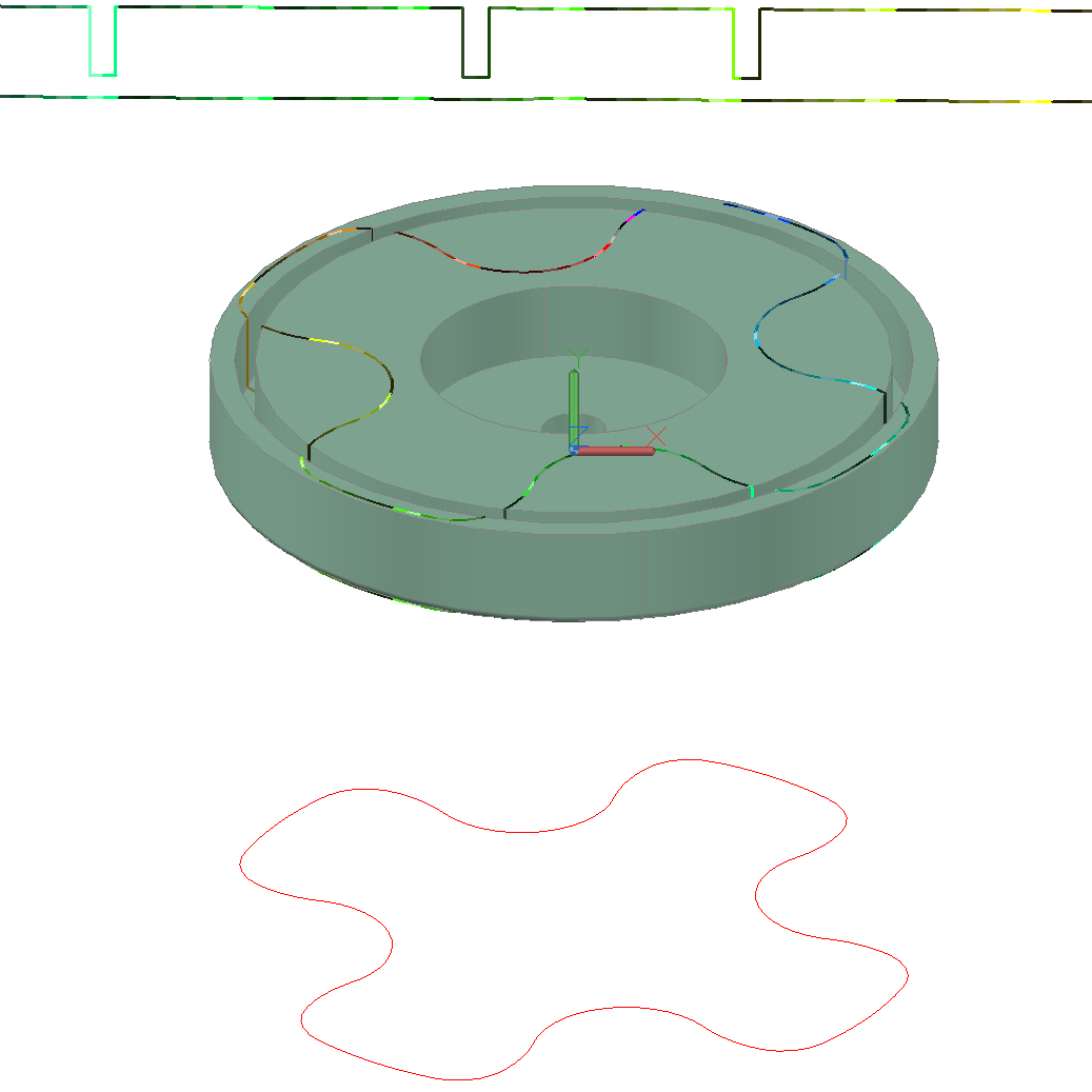
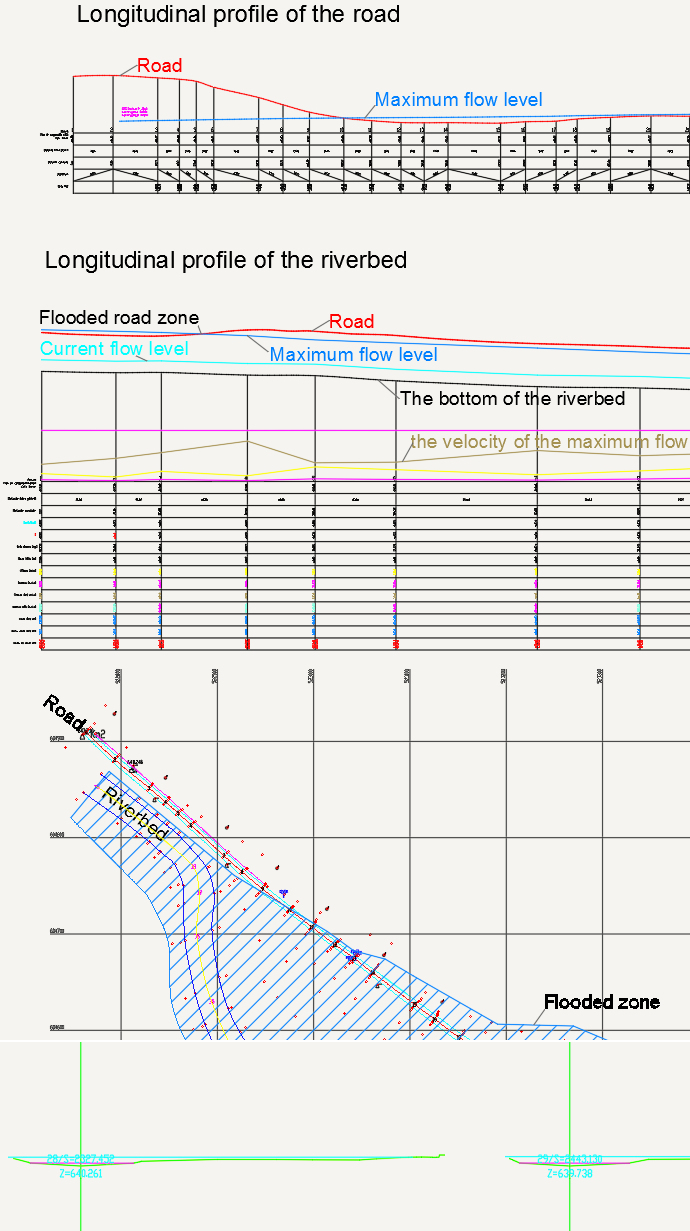
An add-on for AUTOCAD or BricsCAD, for the triangulation of a set of POINTS, isolines, DWG 2D or 3D to Google Earth, the volume and center of gravity of a set of bodies or between surfaces composed of 3DFACE. You can load a file of points having the format: Number X Y Z Code. You can make cross sections, longitudinal profile and color-filled contour map. You can determine the flatness of the surfaces and you can import and export LandXML file type!
Payment by card is absolutely safe, through Paypal or Stripe. Both are extremely popular and secure payment providers. You don't need to have a PayPal account to pay.
Payment by card is absolutely safe, through Paypal or Stripe. Both are extremely popular and secure payment providers. You don't need to have a PayPal account to pay.