

Land Nav System
On Sale
£4.95
£4.95
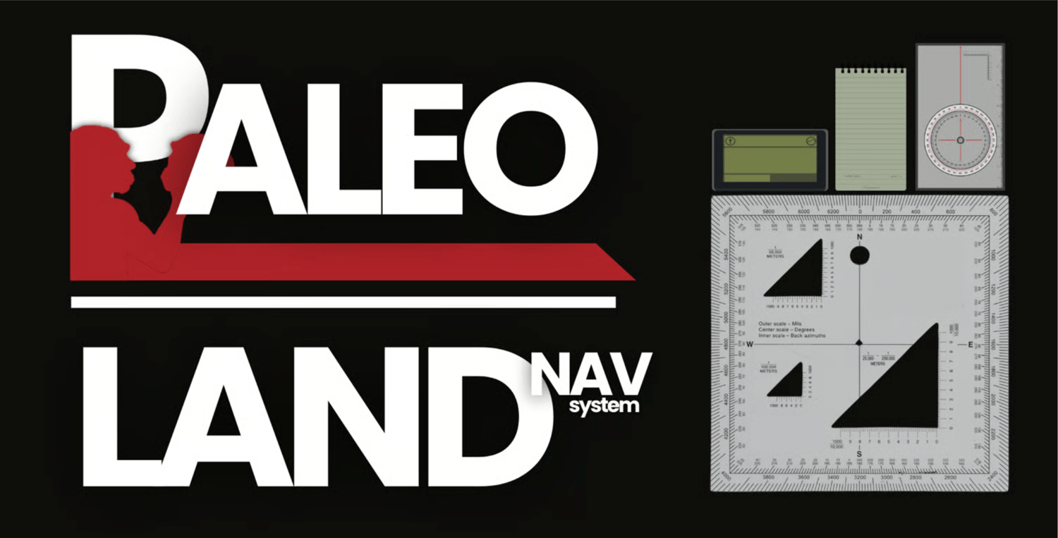
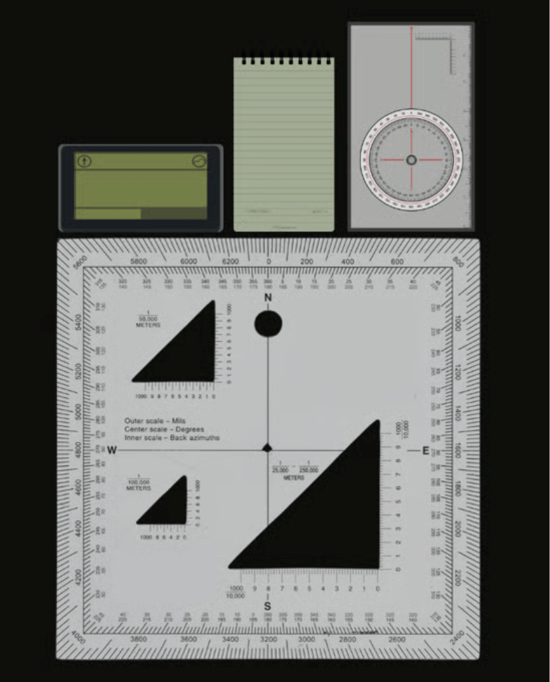
PALEO® LAND NAV SYSTEM
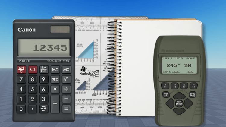
- Integrated Notes Panel - Players can take real-time notes while navigating. This is especially helpful for recording bearings, waypoints, estimated travel times, or mission-specific information without switching tools.
- Protractor Functionality - A virtual protractor allows users to measure angles and bearings accurately on the map. This is essential for plotting courses, triangulating positions, and orienting maps in relation to terrain.
- Ruler Tool - The system includes a built-in ruler to measure distances directly on the map. This supports planning and execution of routes by allowing users to estimate travel time and pathing based on scale.
- Direction and Altitude Display (Garmin-like, but Custom) - While not using actual Garmin hardware, your system mimics its functionality by showing key navigational data such as:

License Terms
By purchasing this product, the buyer agrees to the Royalty-Free License terms. The model may be used in commercial and non-commercial projects.
Reselling, redistributing, or sharing this product in its original form is strictly prohibited. The asset must be embedded as part of a larger work.