

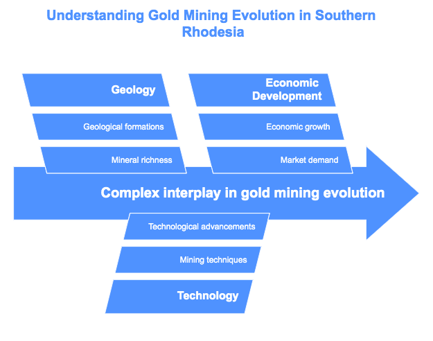
Gold mining in Southern Rhodesia (modern Zimbabwe) has evolved through distinct historical epochs, each marked by unique geological settings, mining technologies, and economic drivers. This narrative, steeped in rich geological detail, showcases a le...
Read More
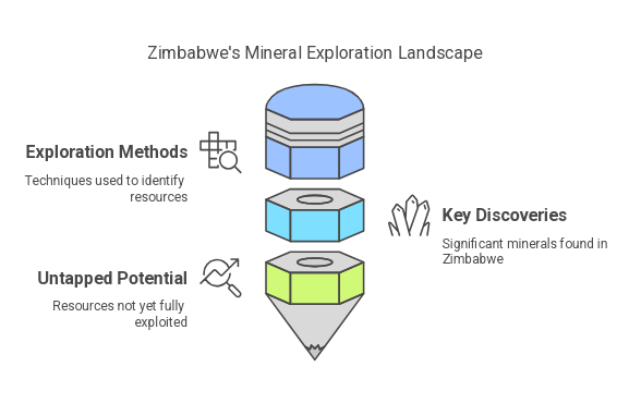
Zimbabwe’s mineral exploration, governed by Exclusive Prospecting Orders (EPOs), offers a remarkable case study in how integrated geological methods reveal and shape resource potential. Drawing from historical sources and recent research, this articl...
Read More
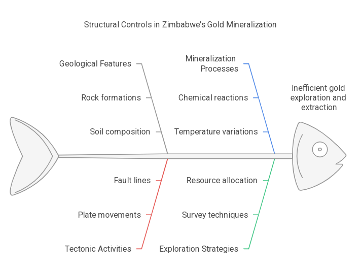
Structural Controls on Gold Mineralization in ZimbabweGeological structures are the backbone of gold mineralization in Zimbabwe. They guide fluid flow, create traps, and determine where high-grade deposits form. Recent studies confirm that multiple i...
Read More
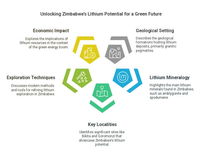
Zimbabwe’s lithium resources, centered on granitic pegmatites, are emerging as significant players in the global market. Notably, the Bikita pegmatite is recognized as one of the largest lithium-bearing pegmatites in the world. While traditional repo...
Read More
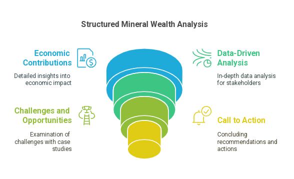
Why It MattersZimbabwe’s mining sector is a cornerstone of the economy, historically producing 600,000+ ounces of gold annually (1907–1932).The country sits on vast untapped mineral reserves, including gold, lithium, nickel, platinum group metals...
Read More

As the demand for renewable energy continues to grow, it is increasingly important to identify and evaluate potential sites for solar, wind, geothermal, and hydroelectric projects. Geological survey maps are a crucial resource for this process, provi...
Read More
Geological survey maps are an essential tool for construction professionals looking to make informed decisions about where and how to build. These maps provide valuable information about the composition and structure of the earth's surface, including...
Read More
Investing in the mining sector can be a lucrative venture, but it also carries significant risks. One key tool that can help investors minimize those risks and make informed decisions is geological survey maps.Geological survey maps provide a detaile...
Read More
Geological survey maps can be a valuable asset for real estate professionals looking to navigate the complex landscape of Zimbabwe's property market. These maps provide detailed information about the geology, soil, and other physical characteristics ...
Read More
Environmental impact assessments (EIAs) are a crucial tool for evaluating the potential impacts of a proposed development or activity on the environment. In Zimbabwe, EIAs are required for a wide range of projects, from large-scale infrastructure dev...
Read More
Introduction:Geological survey maps are important tools that provide detailed information about the geology, geomorphology, and natural resources of a specific area. In Zimbabwe, these maps can be particularly useful for agricultural and land-use pla...
Read More
Exploring and extracting resources from the earth is a vital part of any country's economy, and Zimbabwe is no exception. From minerals such as gold and platinum to natural gas and oil, the resources found within Zimbabwe's borders have the potential...
Read More
Geological survey maps are essential tools for any infrastructure development project. In Zimbabwe, these maps provide valuable information about the geology and geomorphology of an area, helping to inform the design and construction of roads, bridge...
Read More
Geological maps and satellite imaging data can be valuable tools for finding large gold deposits. By analyzing these resources, geologists and other professionals can identify geological features and patterns that may indicate the presence of gold de...
Read More
Attention all claim owners and prospectors in the Zimbabwe artisanal gold mining industry! Are you tired of coming up empty-handed on your searches for gold? It's time to take your operations to the next level with our exclusive "Preliminary Report o...
Read More