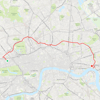
Running in London - Regent's Canal - 3 routes
Running in London Regent's Canal — 3 routes
Distance: 8.1 km, 8.2 km, or 16.4 km
Suggested starting point: Public transport:
Paddington tube station / Circle Line
3 linear routes
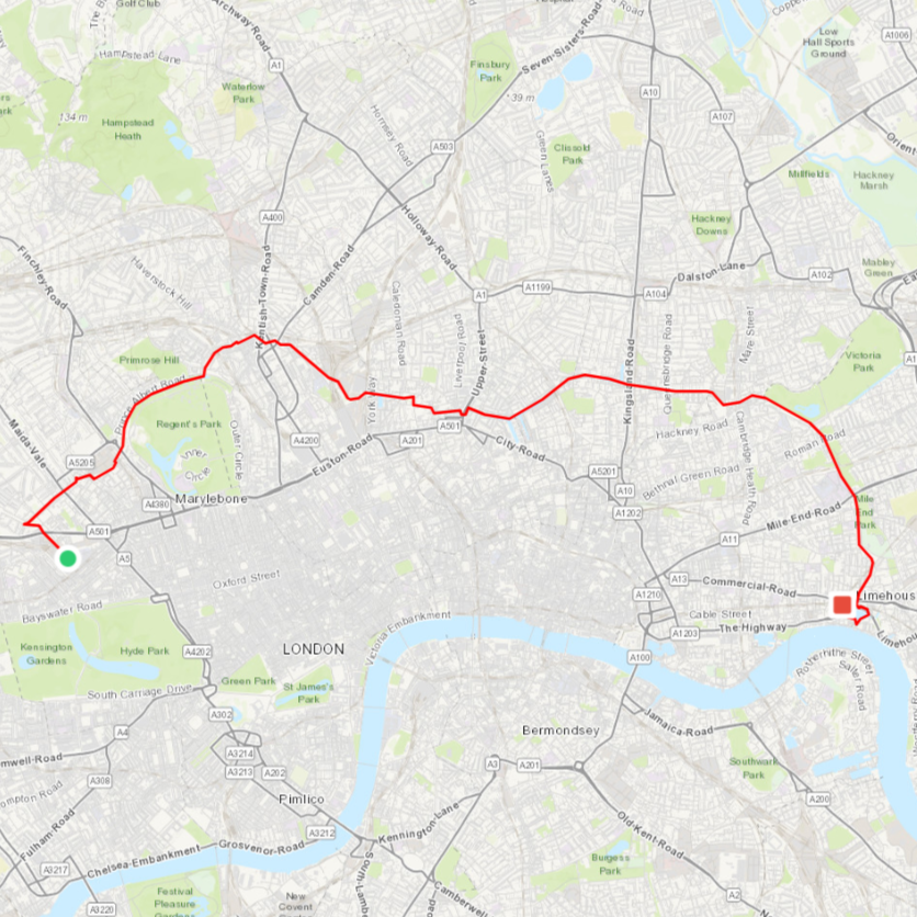
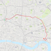
Regent's Canal — The Full Route: 16.4 km Start: South Wharf Road near Paddington Basin (Paddington tube / Bakerloo Line) — Finish: Limehouse Basin (Limehouse station)
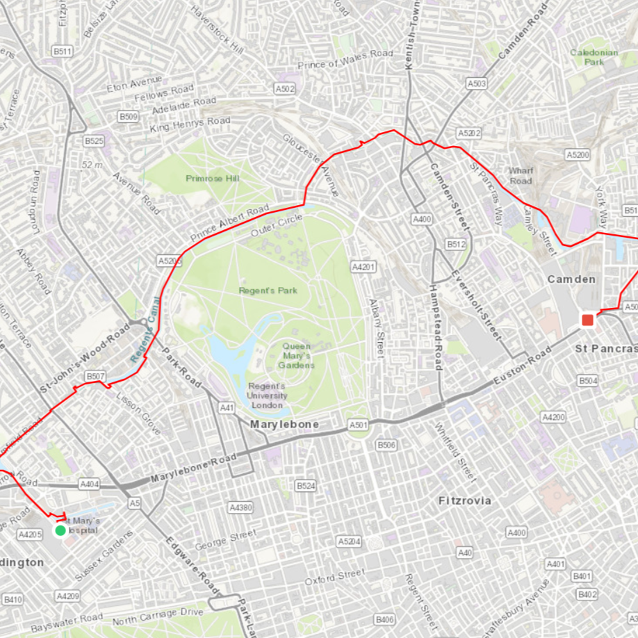
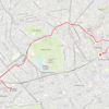
Regent's Canal — West: 8.2 km Start: South Wharf Road near Paddington Basin (Paddington tube / Bakerloo Line) — Finish: King's Cross St Pancras tube station (Circle Line)
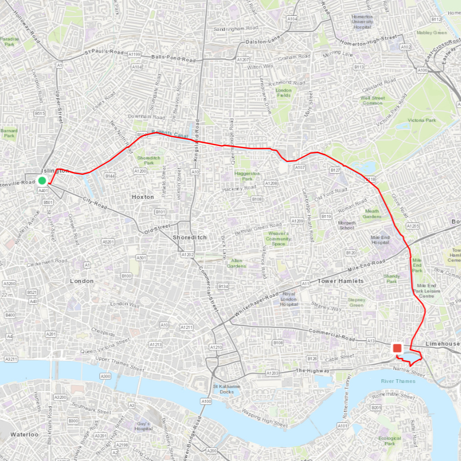
Regent's Canal — East: 8.1 km Start: City Road (Angel tube / Northern Line) — Finish: Limehouse Basin (Limehouse station)
*you can download all London Waterways running routes full pack - 11 routes, for less than 0.50/route*
Running in London — a journey through maritime history.
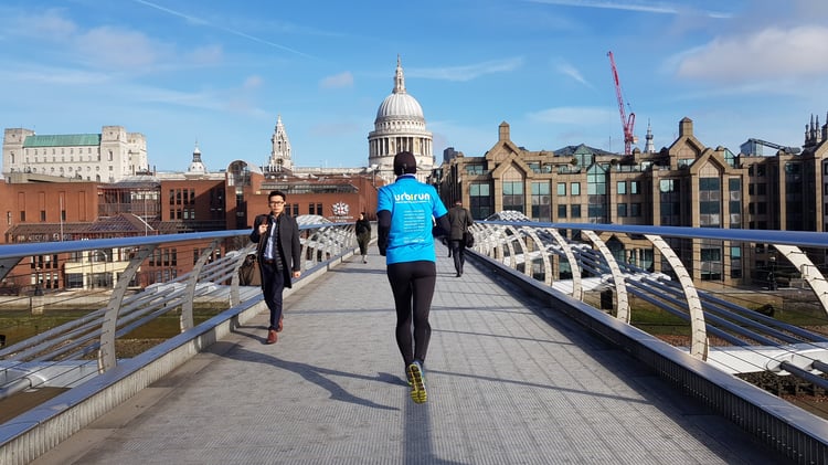
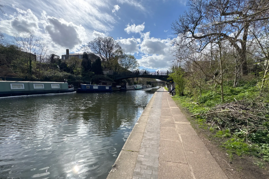
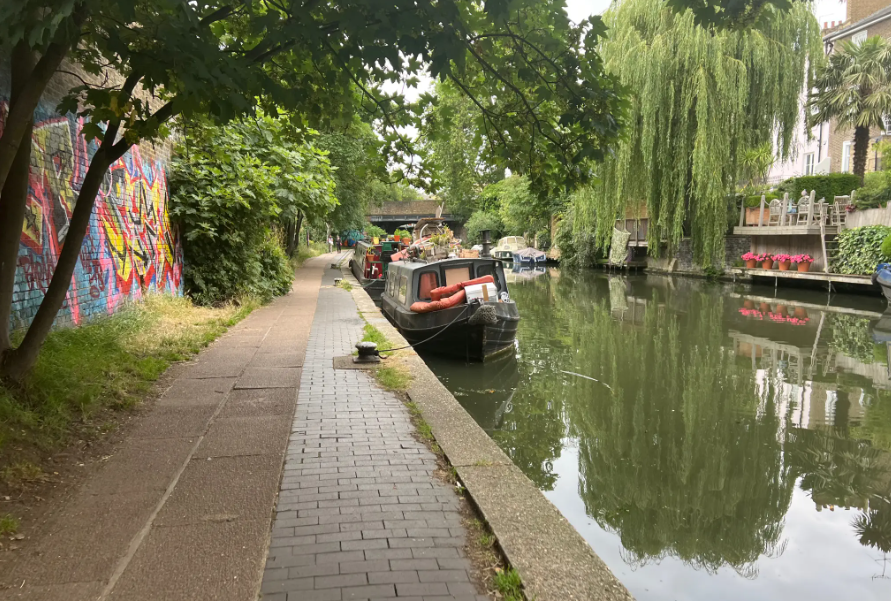
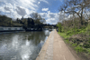
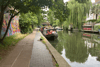
The route begins in one of the Regent's Canal's tributaries, near Paddington Station (yes, the one with the bear), along Paddington Basin. This running route is extraordinarily peaceful and bucolic — a genuine pleasure to discover London from this angle, far from the frenetic energy you'll find elsewhere in the city. And in the early morning, you'll catch the sun reflecting in the canal, smooth as a mirror. Enjoy the run.
The Regent's Canal was built in the early 19th century to link the Grand Junction Canal — connecting London to the canal network of northern England — with the Thames. This mode of transport was quickly preferred over the railways for carrying iron and silver to Birmingham, being faster and cheaper. Other goods including grain, leather, zinc and even cheese were also transported along its waters. Commercial use of the canal was abandoned in 1960, and it has since been returned to pedestrians, becoming one of London's most charming and best-kept secrets.
Starting from the area known as Little Venice, it runs east across London all the way to the Thames, joining the river at Limehouse Basin. Along the way it passes between Regent's Park and Primrose Hill, through Camden Town with its locks and famous market, continuing past King's Cross station, where it disappears into an 878-metre tunnel (closed to pedestrians, so a brief detour through the streets). It then continues alongside Victoria Park and Mile End Park before ending at Limehouse Basin, a small harbour on the Thames. The west and east routes are defined by the Islington Tunnel — the stretch of canal along which running is not possible.
FRA
Courir à Londres, l’histoire du transport maritime. Le parcours commence dans un des “affluents” du Regent’s Canal, près de la Gare de Paddington (oui, celle de l’ours), le long du Paddington Basin.
Ce parcours running est extrêmement paisible et bucolique, et c’est un vrai plaisir que de découvrir Londres sous cet angle, loin de la trépidante agitation qu’on peut y rencontrer ailleurs… Et au petit matin, vous profiterez du soleil, qui se reflète dans le canal lisse comme un miroir… Bon run !
Le Regent’s Canal a été construit au début du 19ème siècle pour servir de lien entre le Grand Junction Canal, qui relie Londres aux réseaux de canaux du nord de l'Angleterre, et la Tamise. Ce mode de transport a rapidement été préféré au chemin de fer, notamment pour le transport du fer et de l’argent vers Birmingham, car plus rapide et moins coûteux. D'autres marchandises comme des céréales, du cuir, du zinc et même du fromage ont également été transportées.
L'utilisation commerciale du canal fut abandonnée en 1960, et il a depuis été rendu aux piétons, devenant un des lieux les plus charmants et secrets de Londres.
Partant du quartier appelé Little Venice, il traverse Londres d’ouest en est, jusqu’à la Tamise, qu’il rejoint dans le port de Limehouse Basin.
Il se faufile entre Regent's Park et Primrose Hill, traverse Camden Town, ses écluses et son fameux marché, puis continue jusqu’aux environs de la Gare de King’s Cross, où il se glisse dans un tunnel de 878m de long (interdit aux piétons, donc retour en ville pour un petit km). Puis il continue jusqu’à longer Victoria Park puis Mile End Park, avant de se terminer dans le Limehouse Basin, un petit port sur la Tamise.
Les itinéraires ouest et est sont déterminés par le Islington Tunnel, la partie du canal le long de laquelle on ne peut pas courir.
Your sightseeing running/walking tour as a .gpx file, to download to your smartphone or smartwatch, and run with eyes wide open.
Votre parcours running/walking touristique, en fichier .gpx, à télécharger pour votre téléphone ou votre montre-sport, vous laisser guider, et courir/marcher les yeux grand ouverts.
urbirun, sightrunning tours created by passionate runners for runners, made with runner's mindset and point of view...
urbirun, les itinéraires pensés par des runners passionnés pour les runners !
More tours/plus de parcours sur urbirun.com