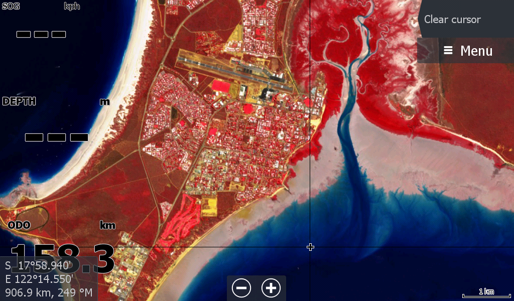
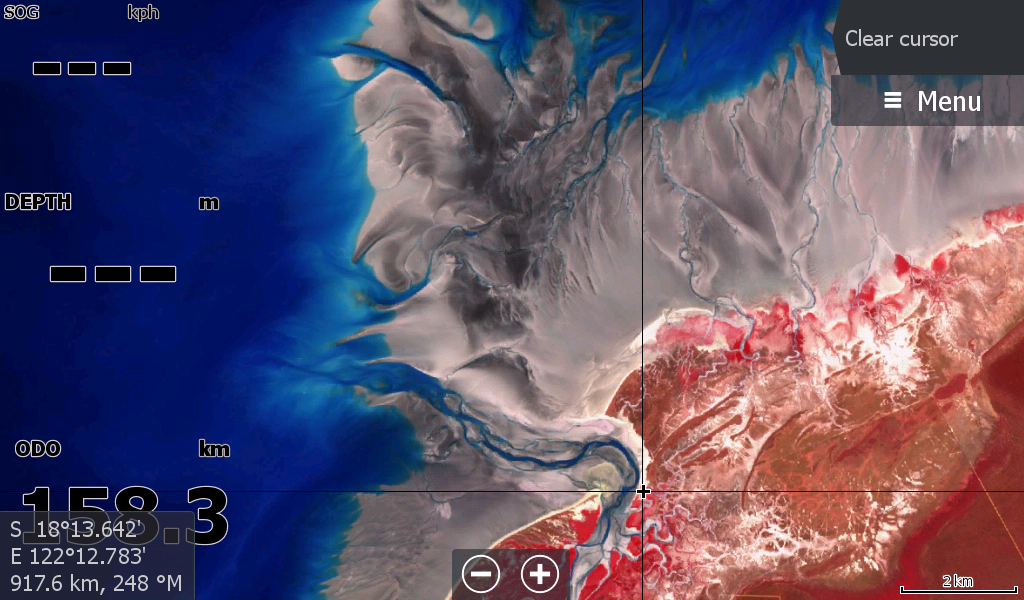
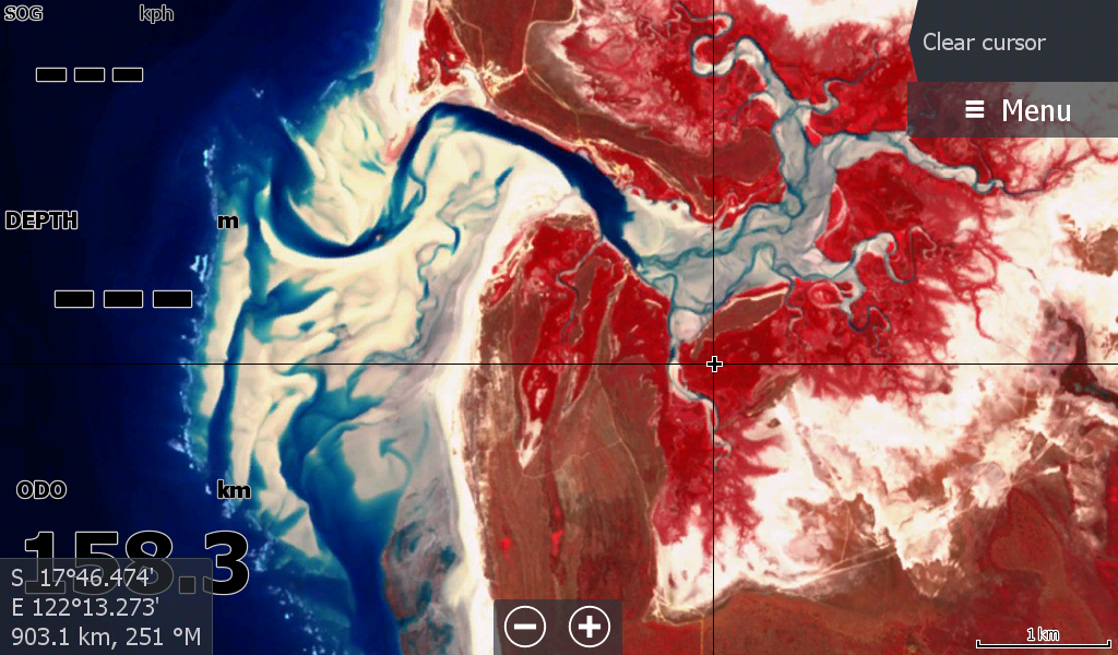
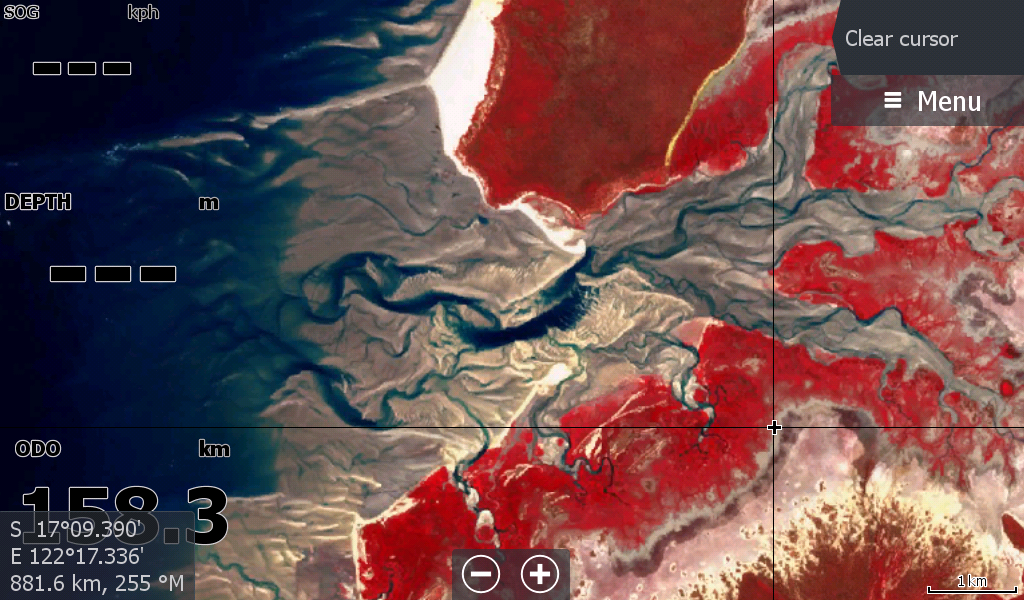
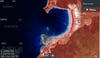
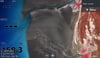
Broome WA - Low Tide Map July26
On Sale
A$19.00
A$19.00
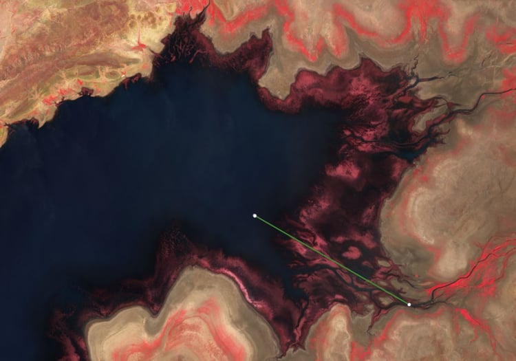
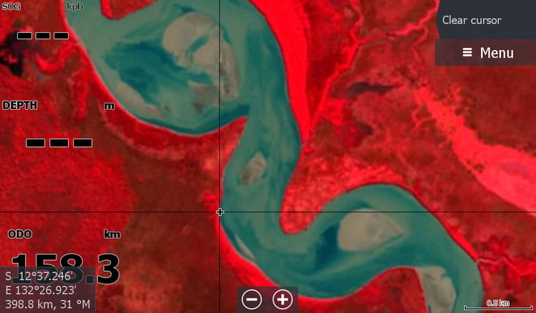
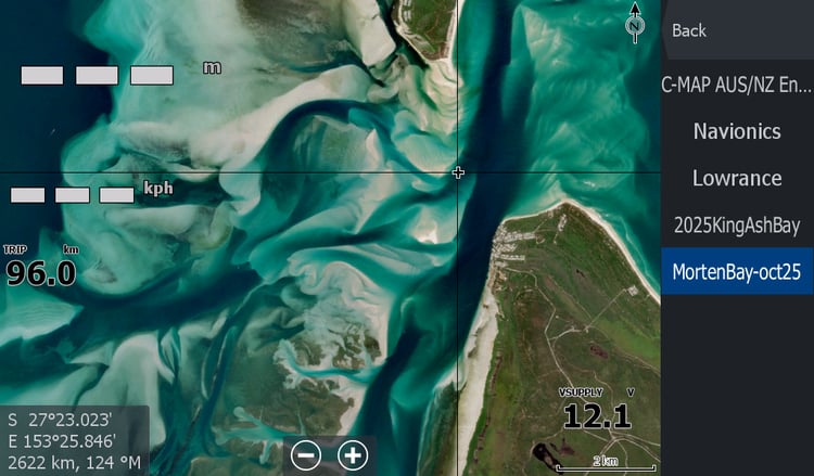
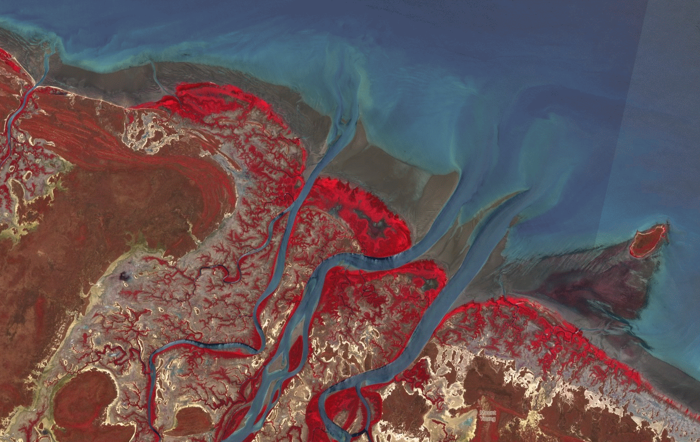
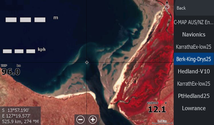
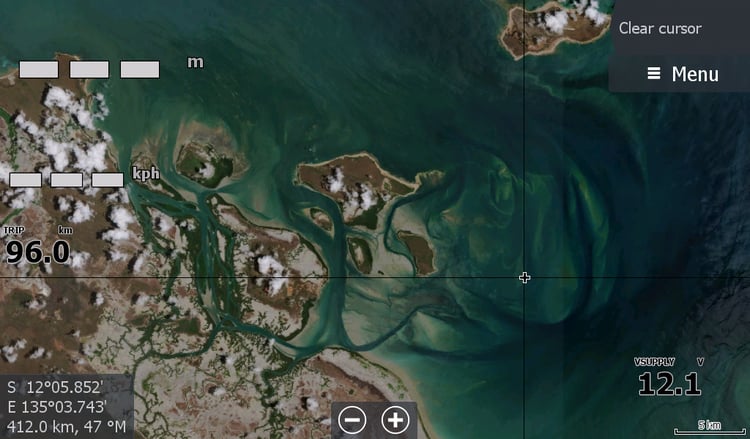
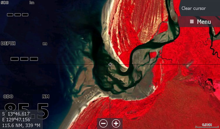
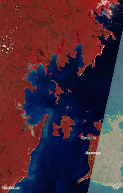
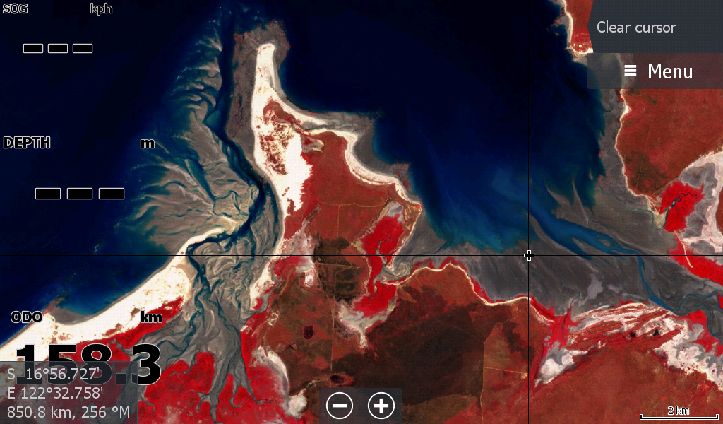
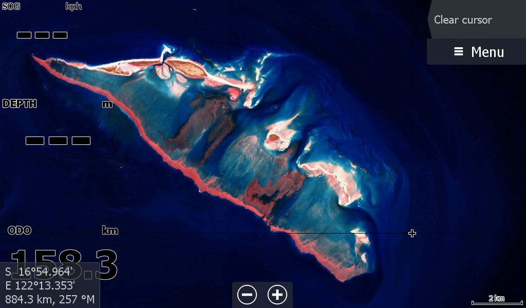
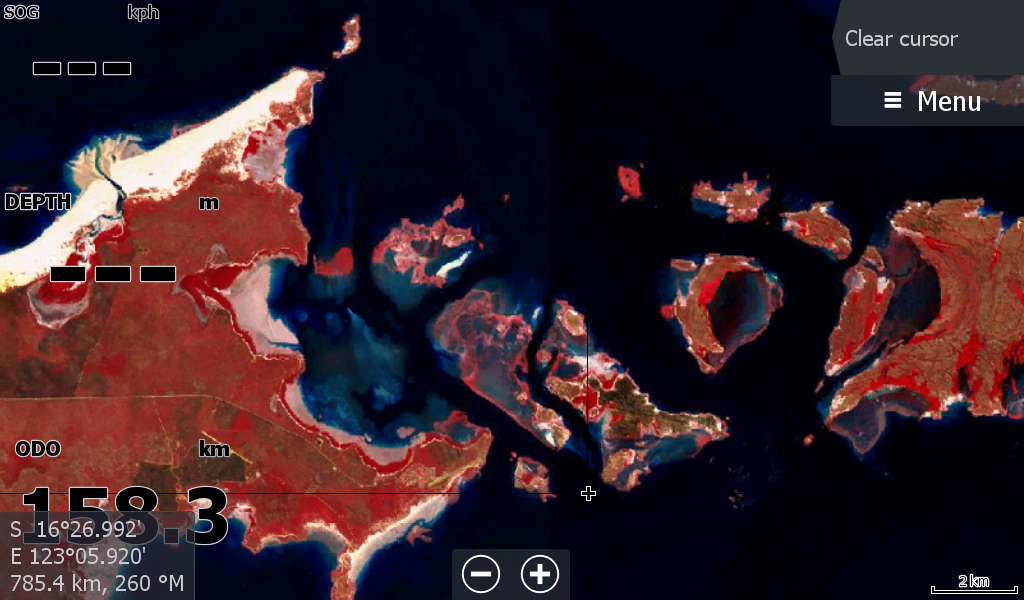
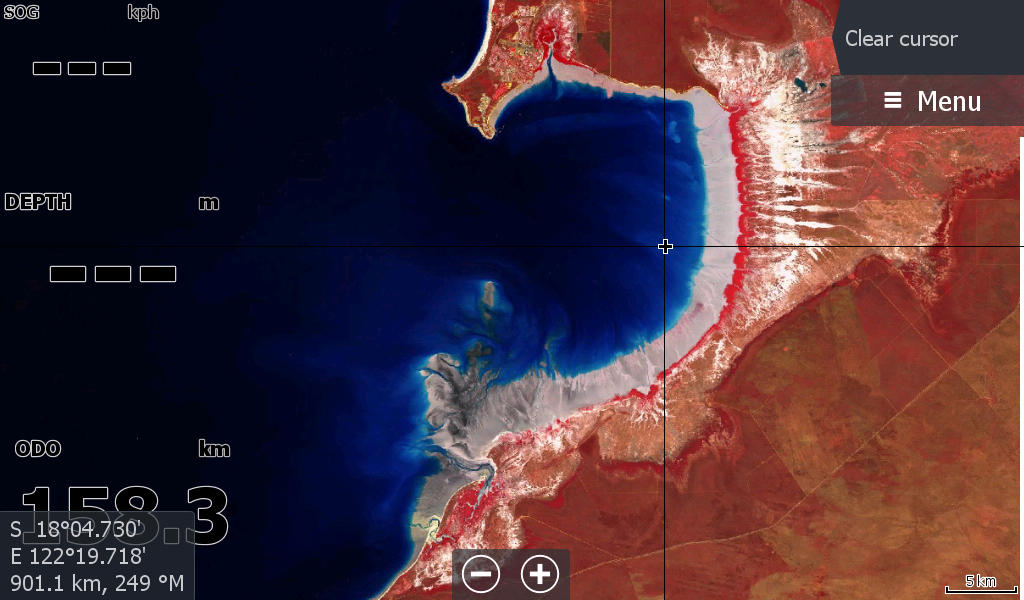
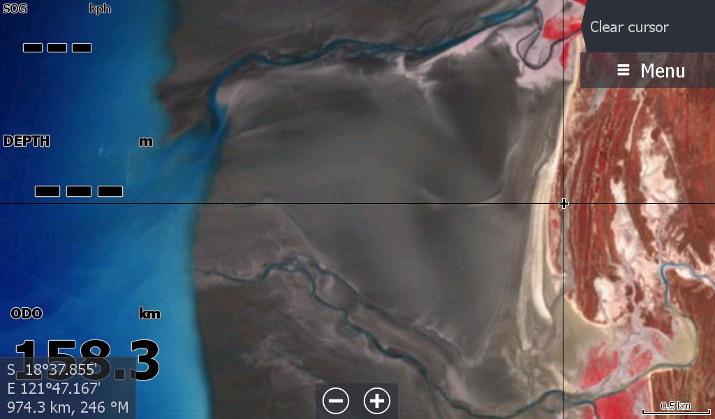
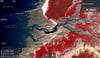
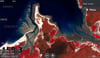
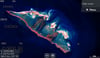
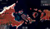
Broome WA -Low Tide Map July 2026. Covering from 80 Mile Beach to around the Tip of the Dampier Peninsular. All the creeks and bays in between. Lacepede Island group included
With some of the largest tidal differences in Australia, the Broome Low Tide map will assist you to get in & out of the deeper creek water to chase Barramundi when looking over the side is not an option.