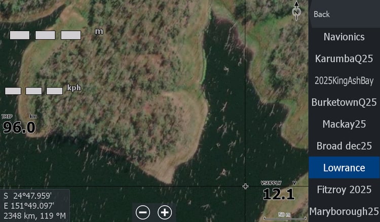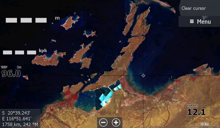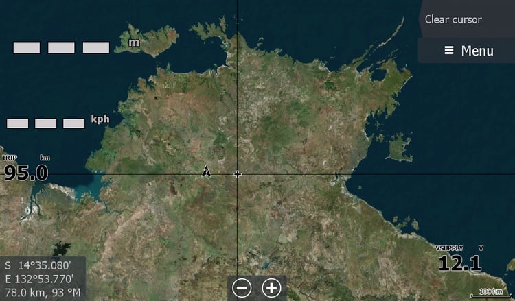


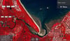
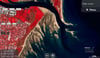
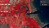
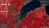

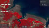
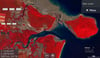
Mackay Qld "low tide map" May 2026
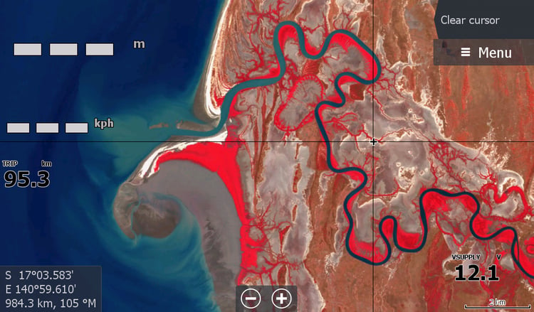
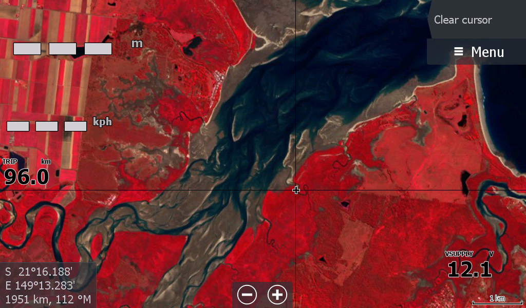
Mackay Qld Updated 09May2026 - From West Hill island/Creek in the South to Cape Conway in the North.
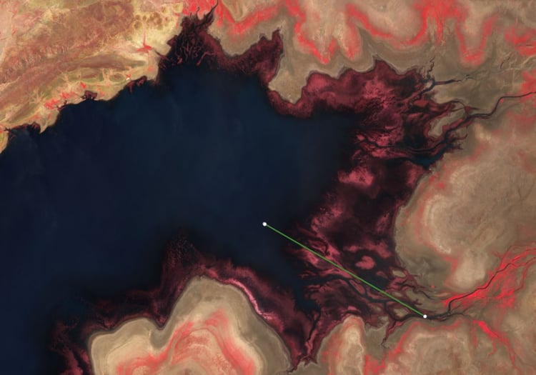
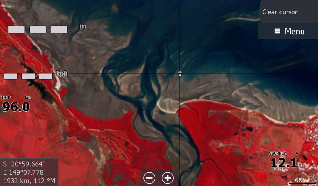
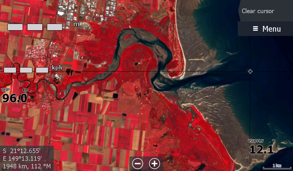
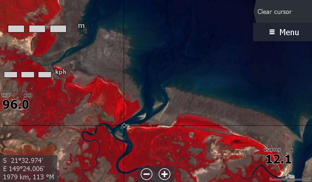
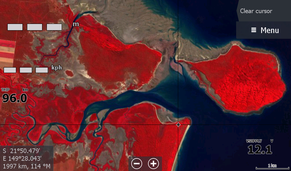
Covering 170km of coastal sandbars, washouts, gutters and river mouths.
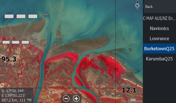
Includes Sarina, Pioneer River, Bassett Inlet, McCreadys Creek, Rocky Dam Creek, Sandringham Bay sandbars around Hay Point Alligator & Sandy Creeks. Have confidence when the waters are sandy & water visibility poor, but the crabs are on the bite. Further up at Slades Bay O'Connells Creek all the creeks to the Proserpine River are exposed.
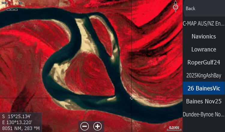
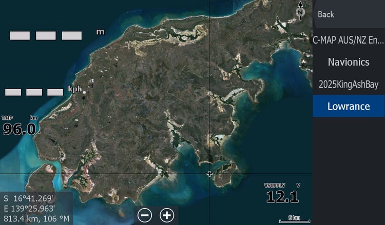
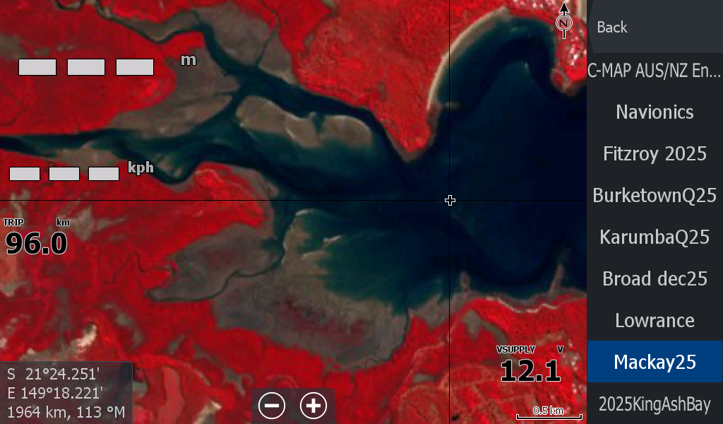
There are several close islands included, but that is what your navionics & c-map is for.
The bulk of these sandbars have stayed in location over the year. I have compared the same area 8 months back and overall there was minimal movement.
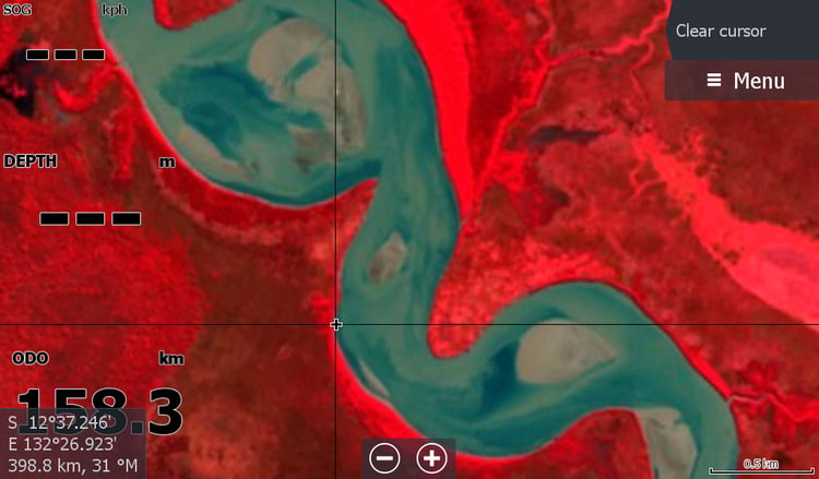
These maps are low resolution & not designed to see your house, just to show where the current deeper & shallower water is so you can target your fish easier and hopefully not get marooned on a sandbar. This area is scanned for changes over the coming years.