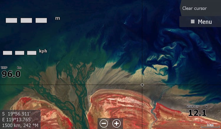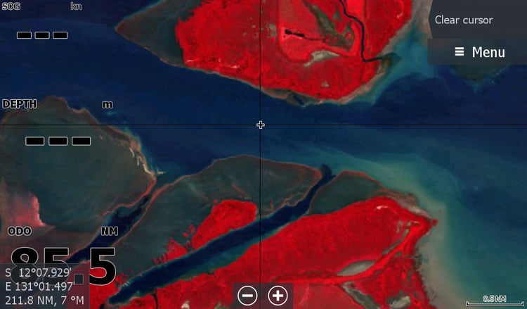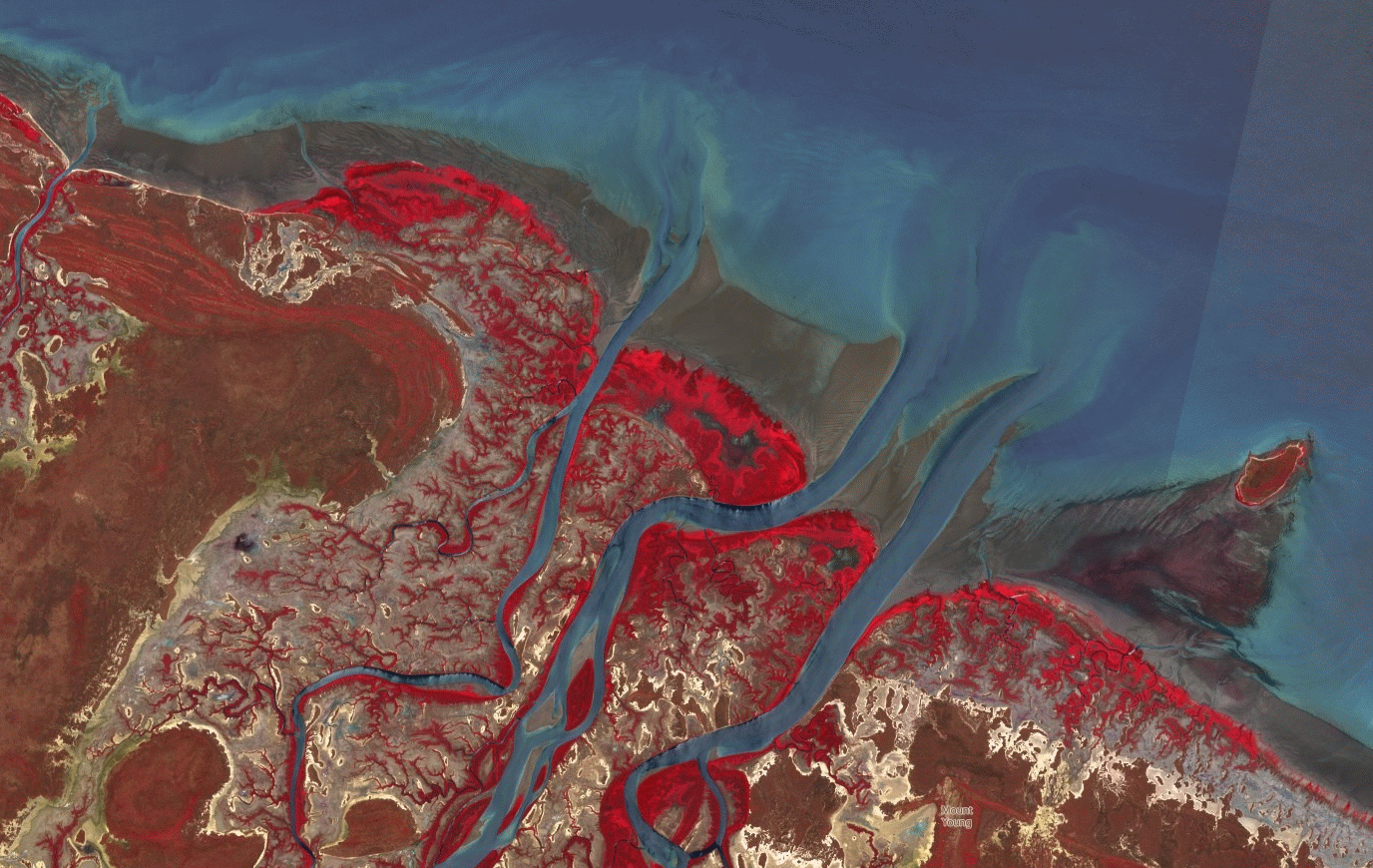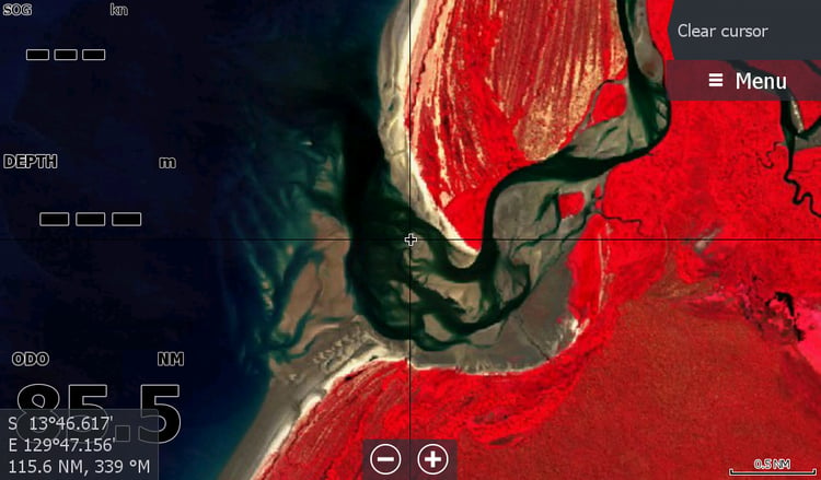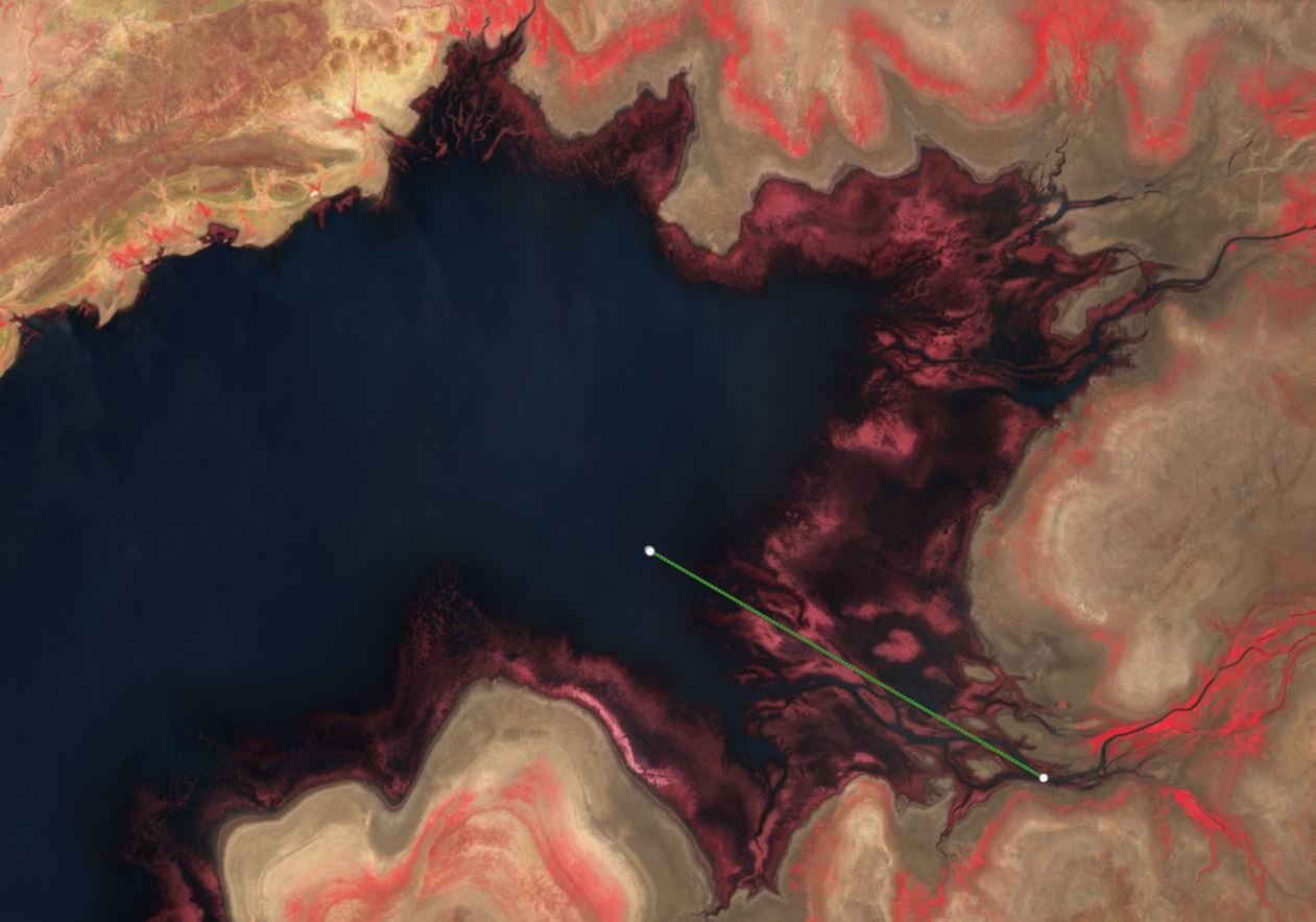
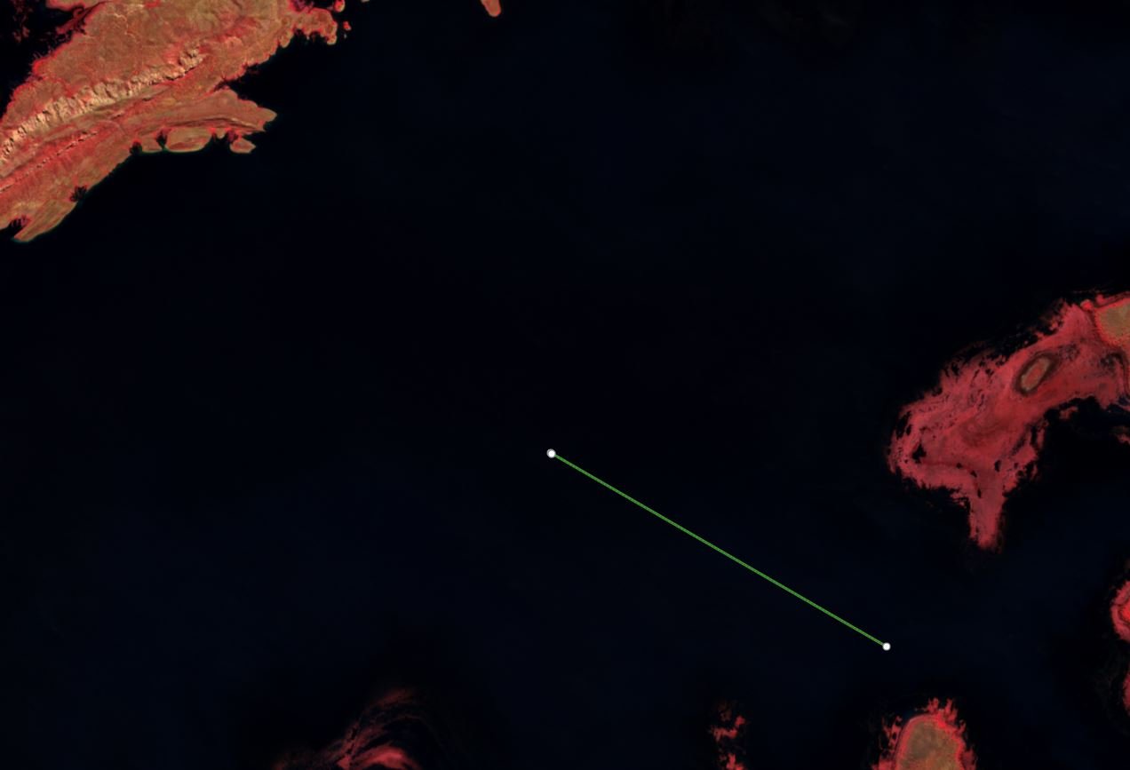
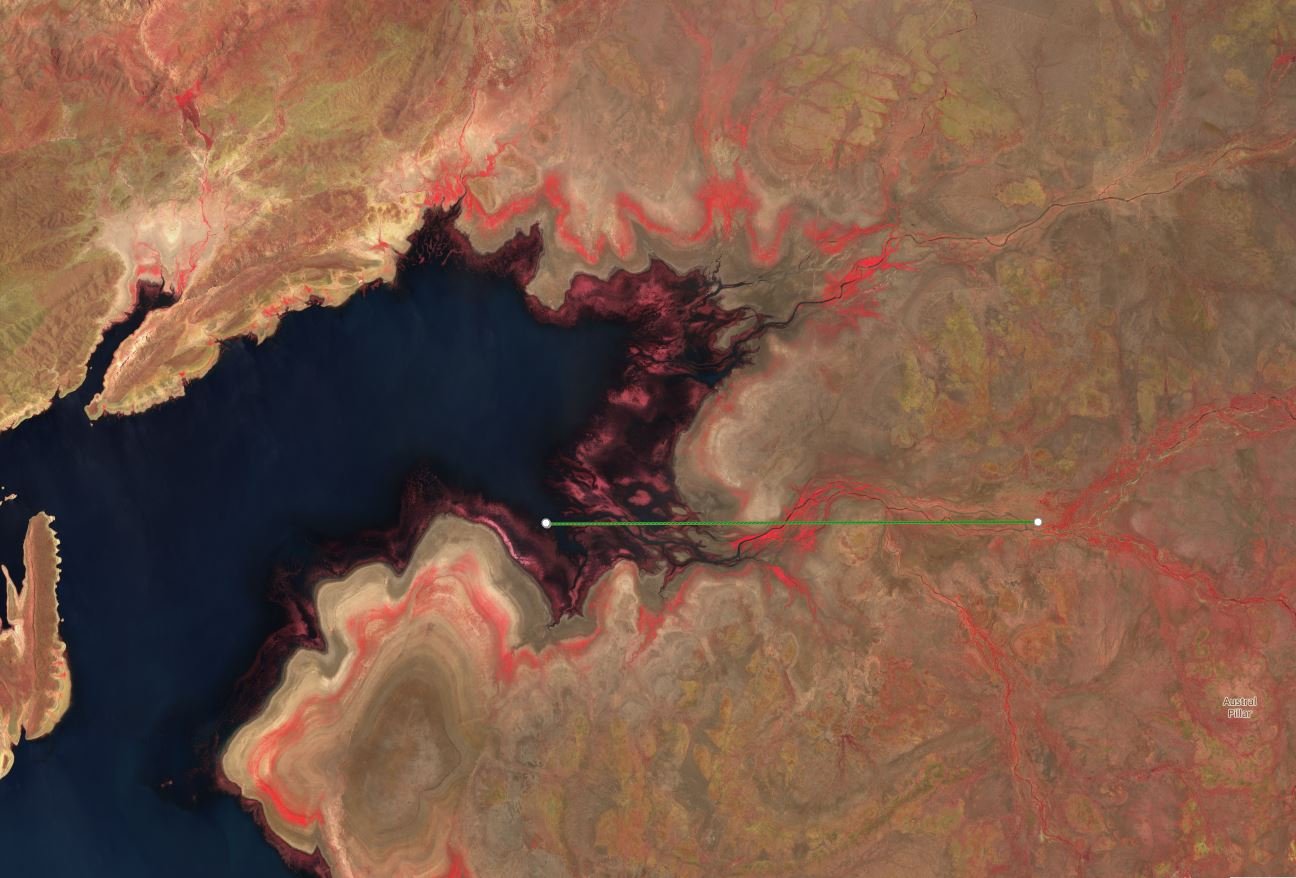
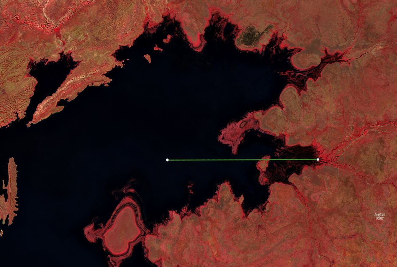

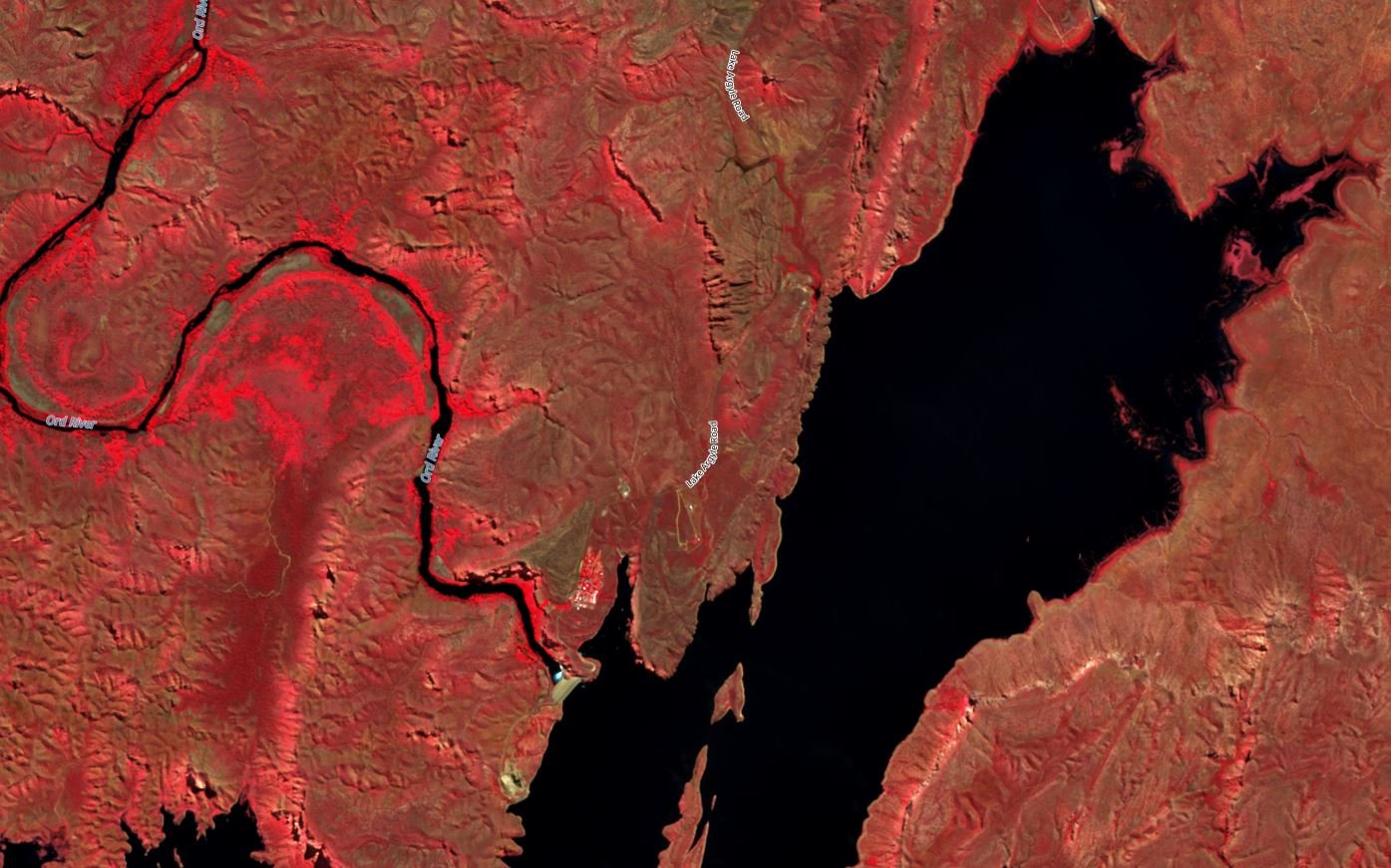


Lake Argyle WA Low water Imagery 2020
On Sale
A$15.00
A$15.00
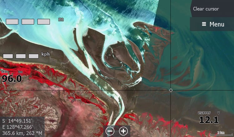
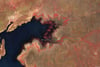
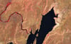
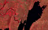
Lake Argyle Western Australia 2020 when the water was at its lowest point for 40 years. This imagery shows where many islands & hills once were so you can approach slowly. This map created for family who yachted the vast lake in 2024.
I can't tell you the current depth of the submerged rockbars / islands that appeared in 2020, but with this imagery, you can be aware of their presence below the boat on future years. Compare the 3 photos above that are 5 years apart..
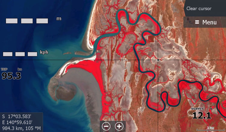
This maps will assist you to find your way back to the dam if you don't have your tracking on.
There will be no further update on this map in my lifetime as we may never see the low water levels of 2020/2021again.