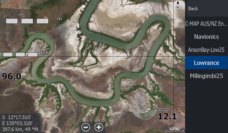


Karratha Hedland Onslow - Exmouth to Pardoo WA
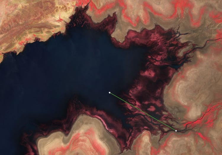
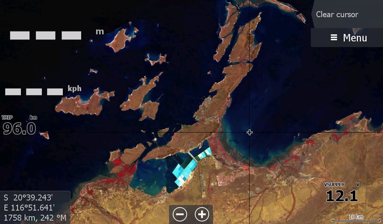
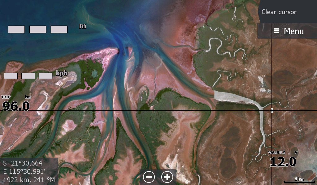
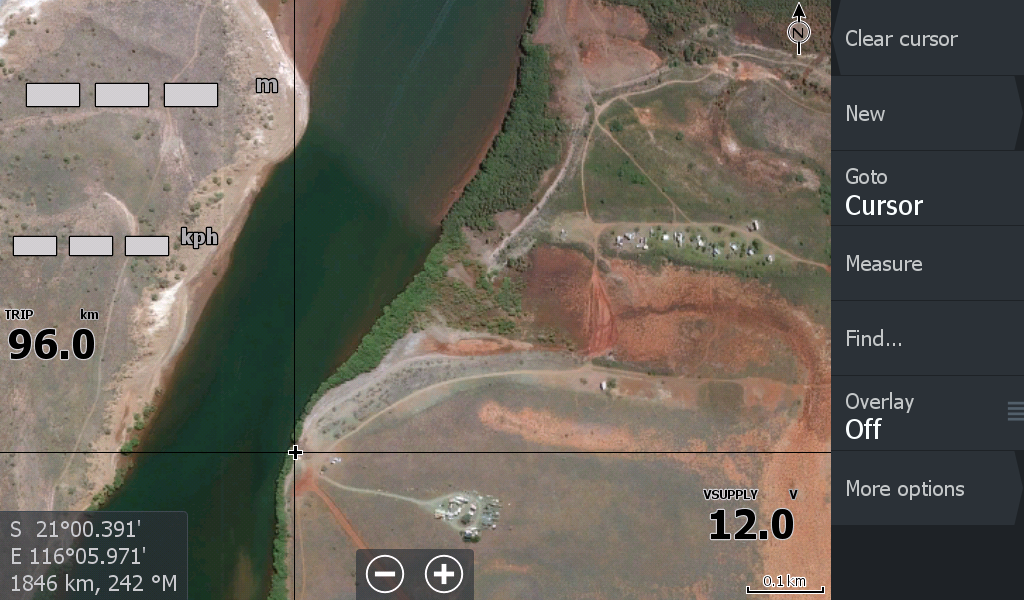
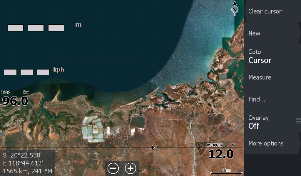
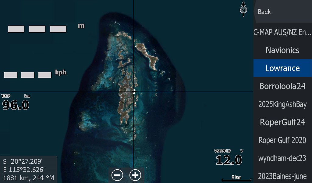
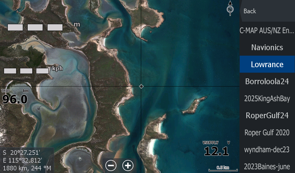
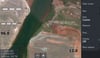
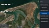
General West Australian coastal satellite imagery from Exmouth inside tip to Pardoo ( the start of 90 mil beach).A very tricky bit of 500km long coastline on 1 map. Should of been split for 2 maps but kept combined as Karratha is in the middle. Very pretty colours in satellite imagery
Firstly, like all satellite imagery of the coast & sea ( ie google earth) the best reefs / fishing spots people frequent has probably been scrubbed and re-joined with other image eras gone by, by the map makers. This mapping still covers several kilometres out to sea. I have also included the islands ( still visible & not scrubbed) & overdid the inclusion of Barrow Island & surrounding rocky sea beds ( that looked stunning in the imagery)(So those GPS points you frequent, you can hopefully see the underwater terrain that you are fishing on) Most of the islands are included but may be blank until you get there.
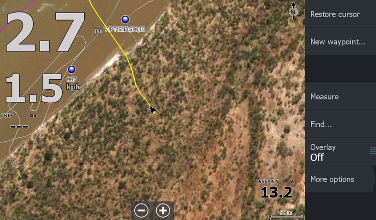
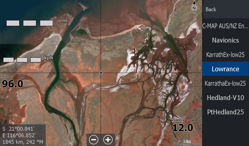
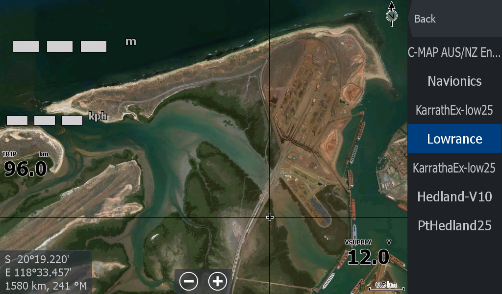
Secondly , do not use this mapping for the creek & river mouth channels/sandbanks as the satellite imagery is several years old. There is a more recent "low tide map" for that. and you have your Navionics built in.
You still rely on your current charting system to look for known reefs.( Satellite Imagery may cover muddy waters or reefs and that important area has been scrubbed by the map makers).
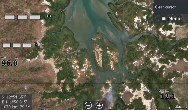
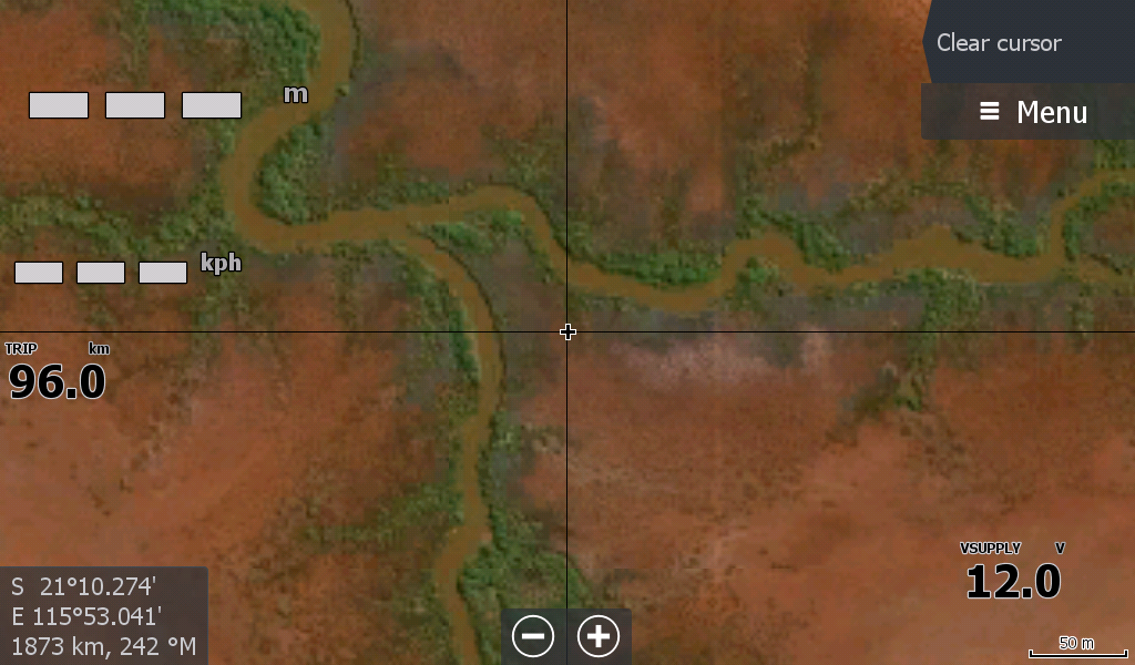
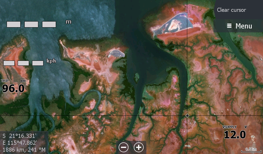
This Exmouth - Pardoo mapping is primarily to show you where you are in an "unchartered" creek or river system that is not covered by Navionics or C-Map etc.
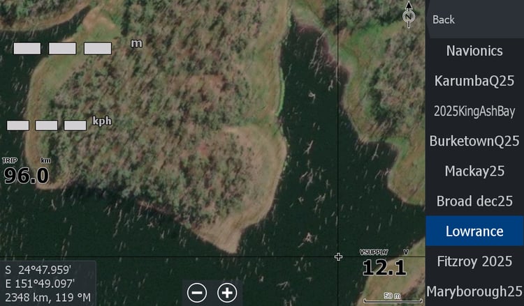
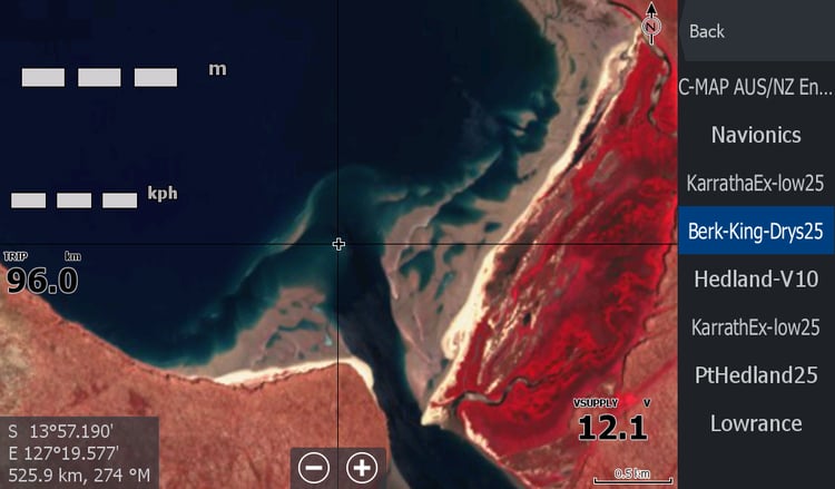
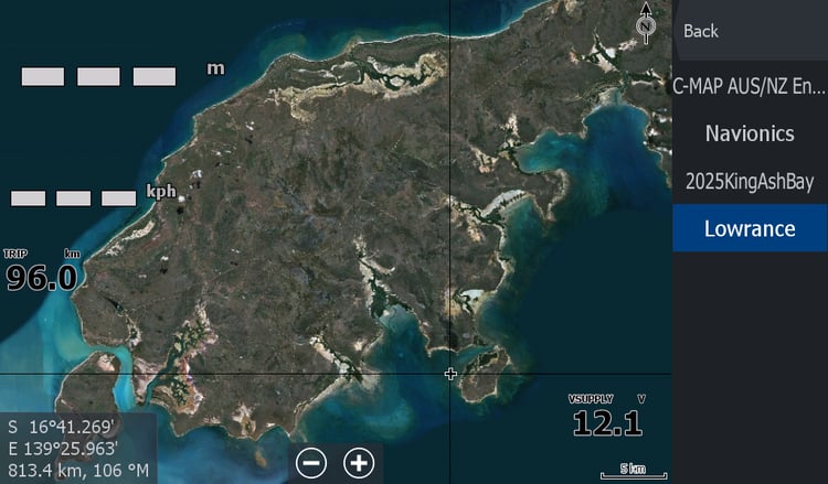
As mentioned it is a large map ( in megabytes data) but it has been split up into multiple smaller files to reduce the work your chart plotter processor has to do for each fishing spot. The zoomability is for the waterways not your home or workplace, scroll around & look too far off into the bush while zoomed in & you will start getting white blanked areas unless you zoom back wide/out.