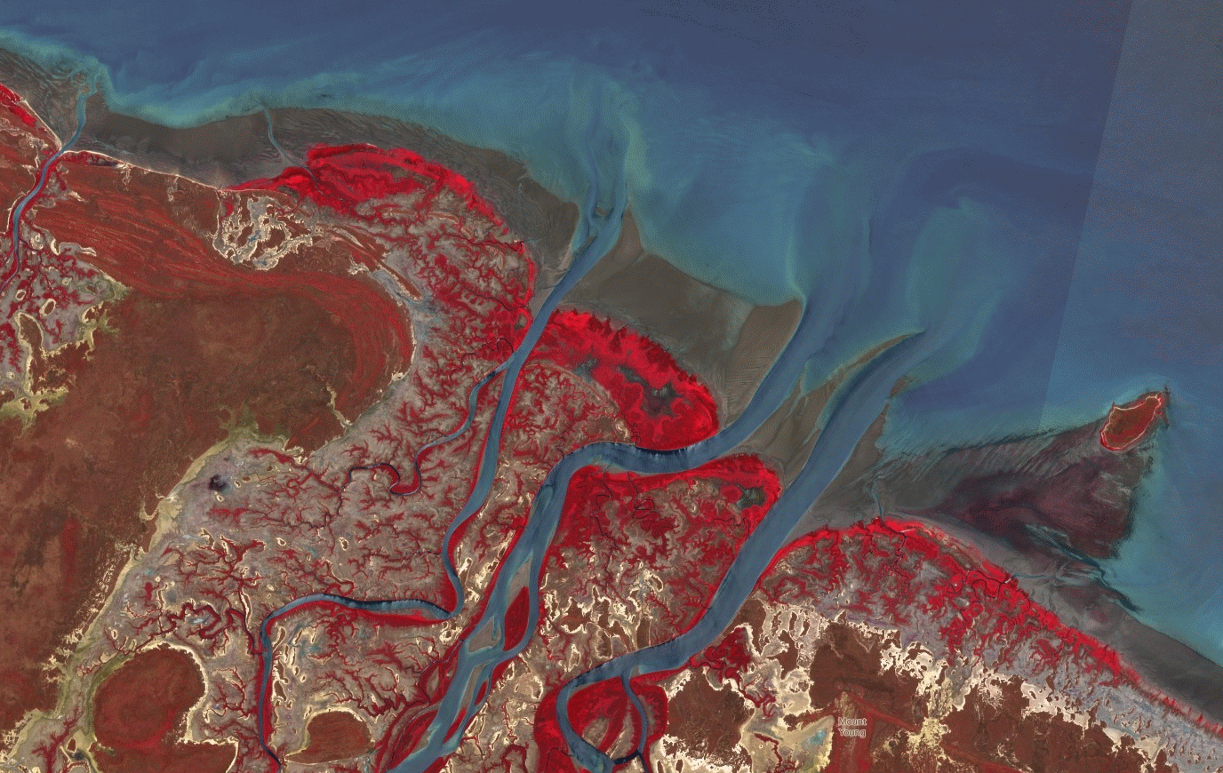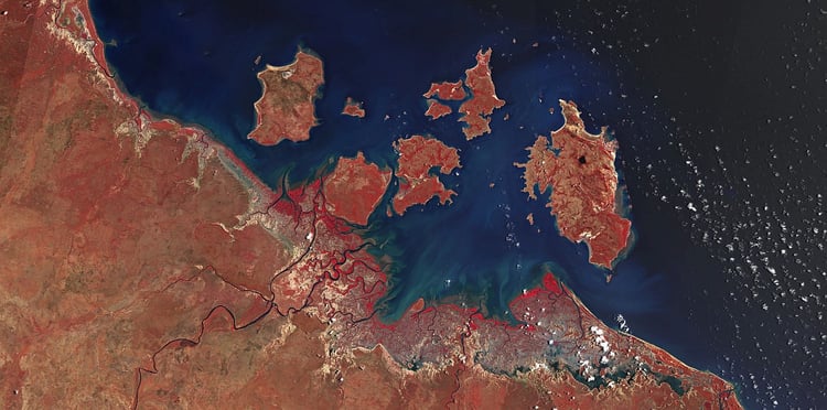
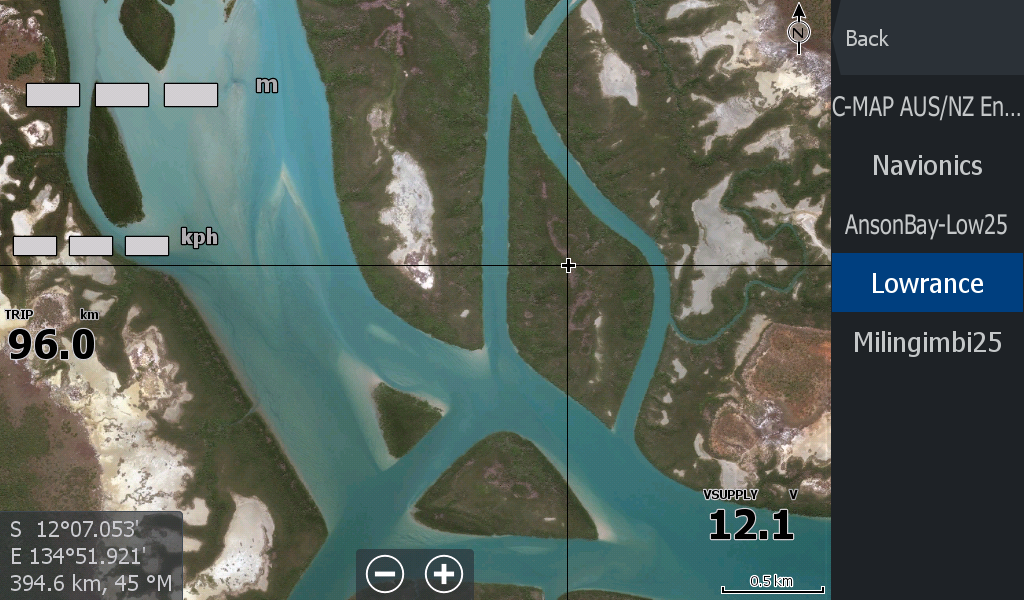
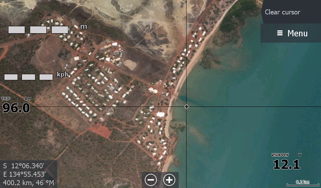

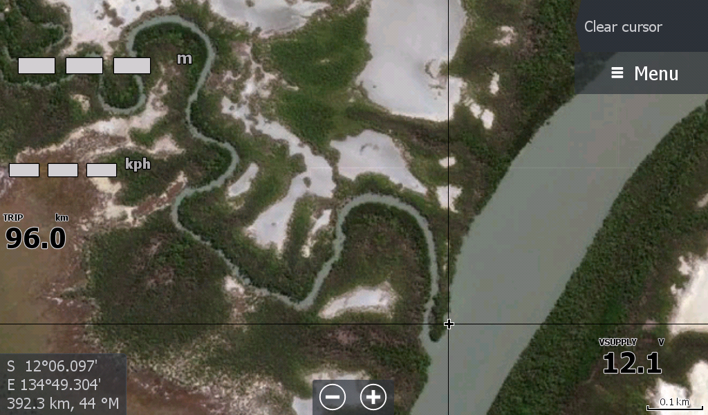
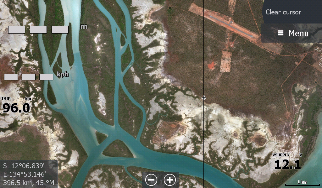
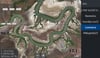


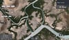


Milingimbi - Crocodile Islands Satellite Overlay
On Sale
A$15.00
A$15.00
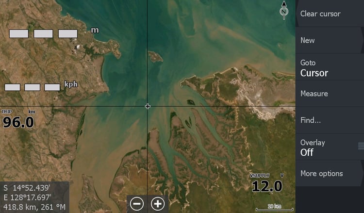
Milingimbi Satellite Overlay - covers the Crocodile Islands down to Castlereagh Bay , Glyde River ( Where the Arnhem Bay map left off)
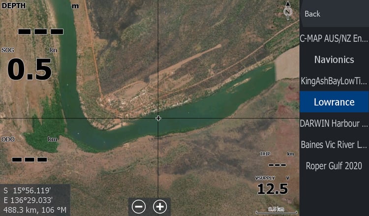
Yabooma Island, Milinginbi Island, Bennet Creek.
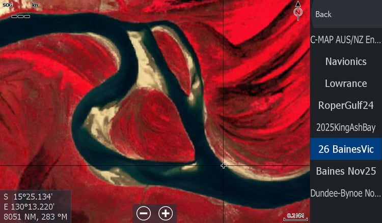
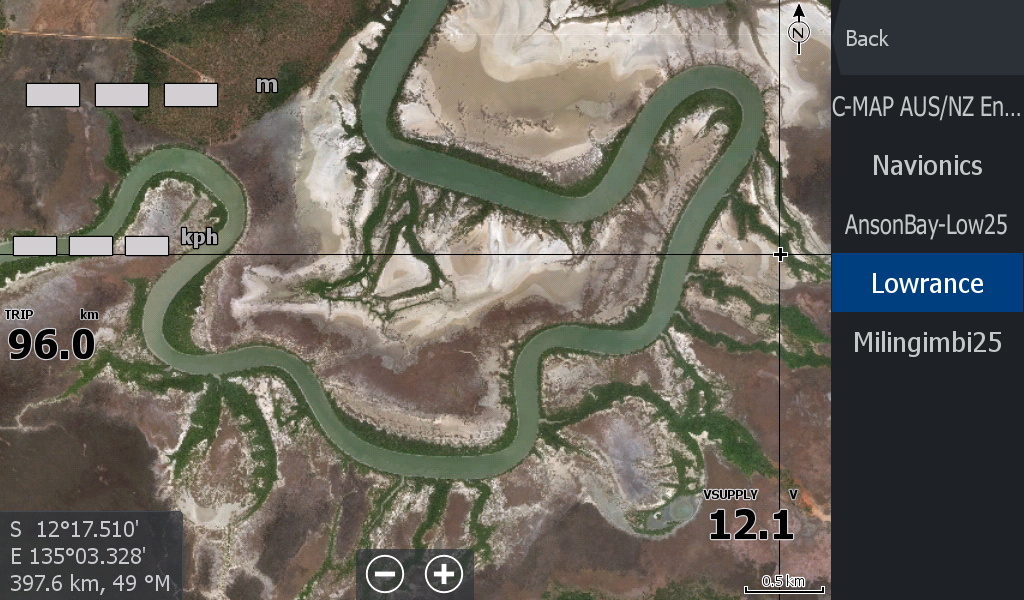
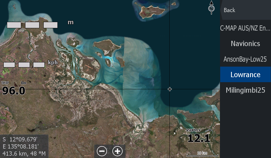
** There is a vast network of shoals that have been wiped out by the satellite image makers further out to sea, North West of the Crocodile Islands. I have created an overlay when extra zoomed in on those areas, however I know much of it has been scrubbed by the map makers. ( It can be seen in the "Milingimbi Low Tide 25 map") ( And to some extent the C-Map)
This map definitely goes hand in hand with the Milingimbi Low Tide 25 map.