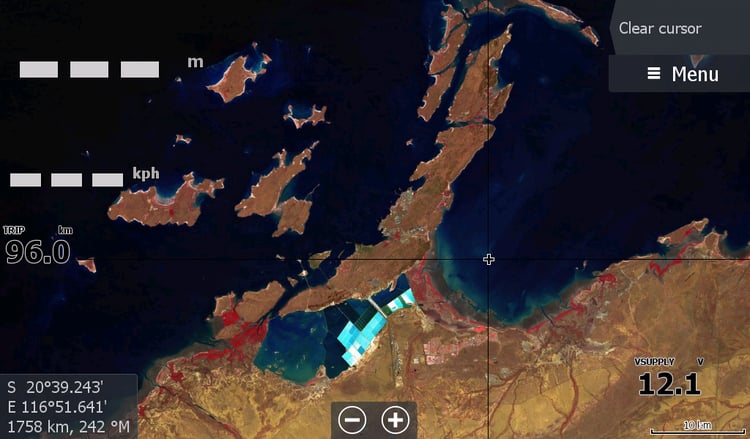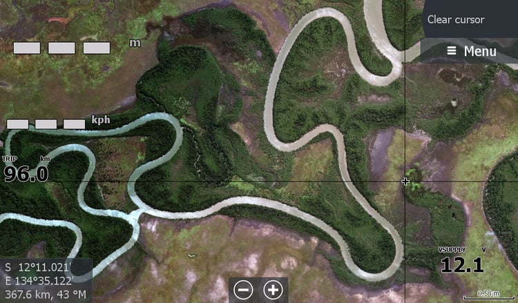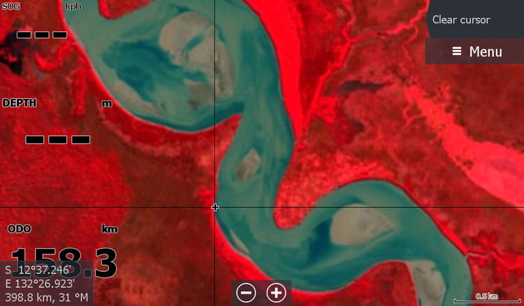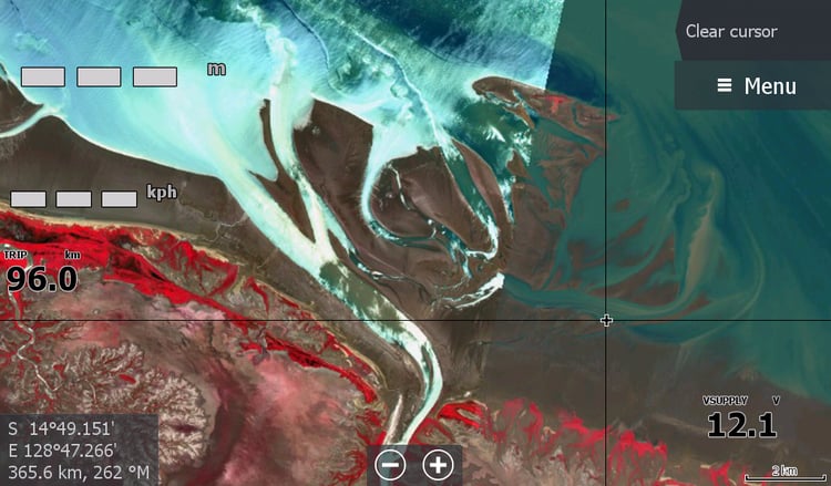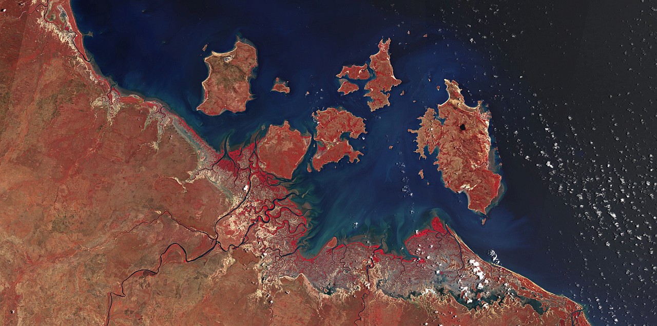
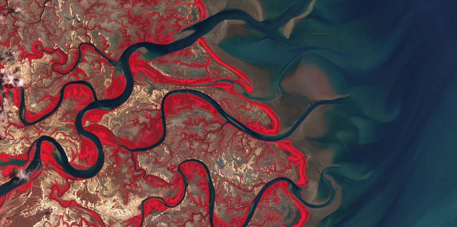


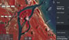
King Ash Bay NT Low tide 2025 Imagery
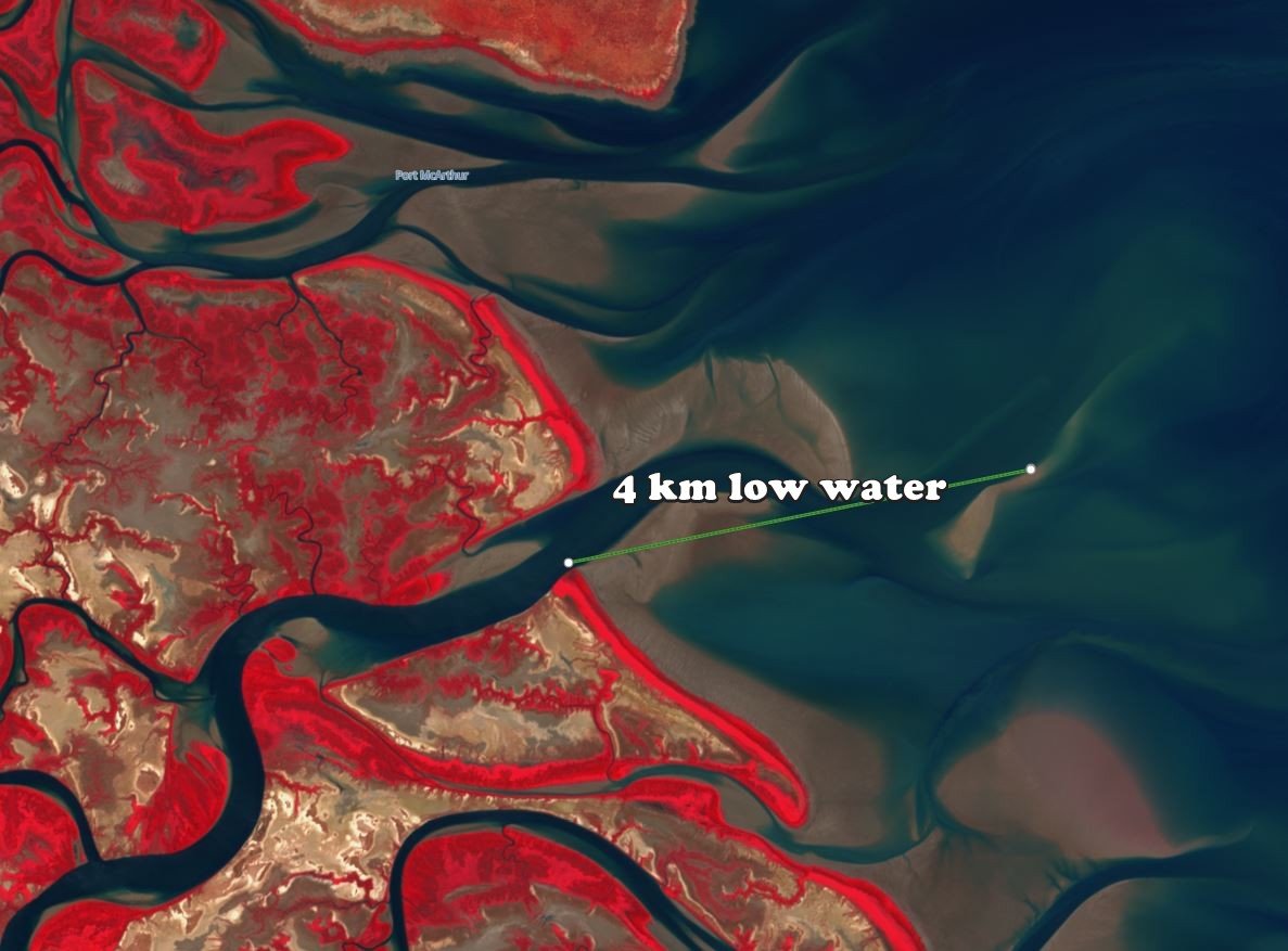
This is a low tide satellite image for the King Ash Bay Borroloola Northern Territory region.
Included is the coast all the way from North of Bing Bong area to the creek just past the Robinson River Mouth.
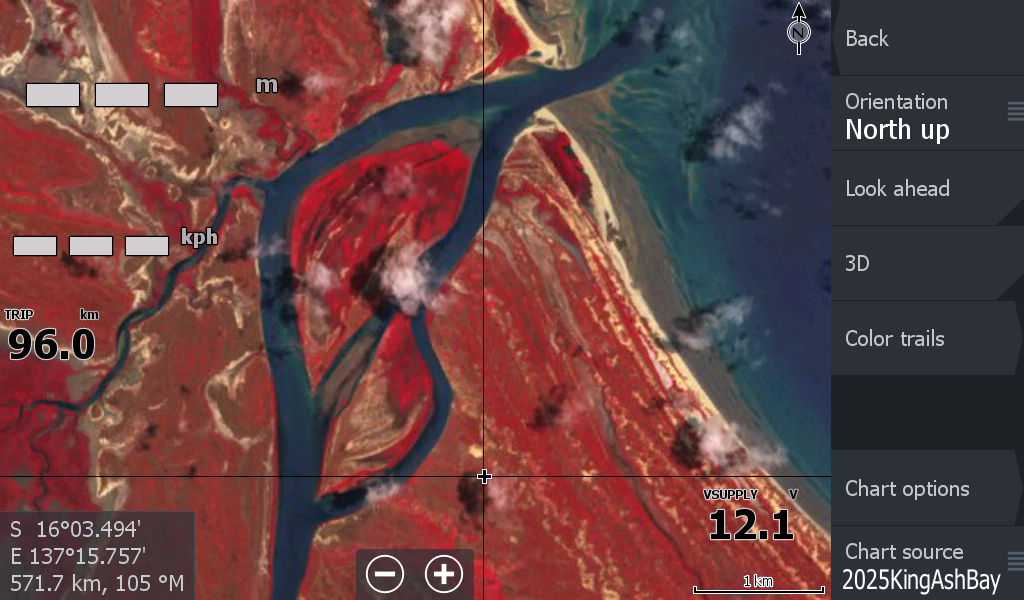
A must have for Lowrance HDS & Elite Chartplotters. ( Not Garmin & Hummingbird, sorry)
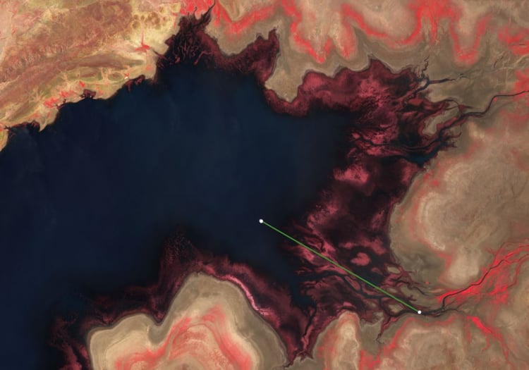
Designed to get you home again when hundreds of hidden sandbars all look the same colour as the nutrient rich sandy waters.
This satellite is not high resolution and its not the lowest tide, but its the only current image you will get of what lays beneath the murky waters of King Ash Bay and the Sir Edward Pellew Group of Islands
Imagery dated October 2025.
This image is part of the "low tide" range and will show up in your chart plotter as KingAshBay Oct2025.
Disclaimer: The life of this image expires with the big flows of the next wet season, however testing my images from 2021,2022, 2023 & 2024 show no massive difference in channel changes, and I personally would still use my older images.
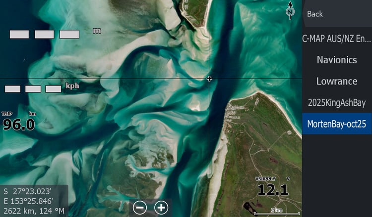
If purchasing this map, I would personally also get its sister map - King Ash Bay Satellite map for clarity & better resolution.
Don't forget to please follow us on facebook for any tips & updates