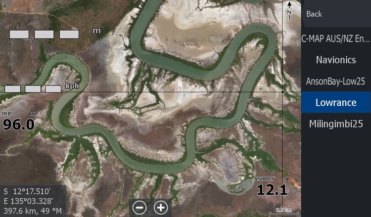


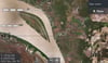

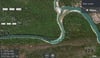
Daly River- Peron Is to Anson Bay Satellite
The Famous Daly River with its Barra Classics & Barra Nationals. The Northern Territory's home of Barramundi Fishing.
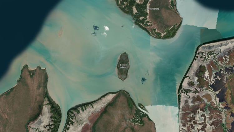
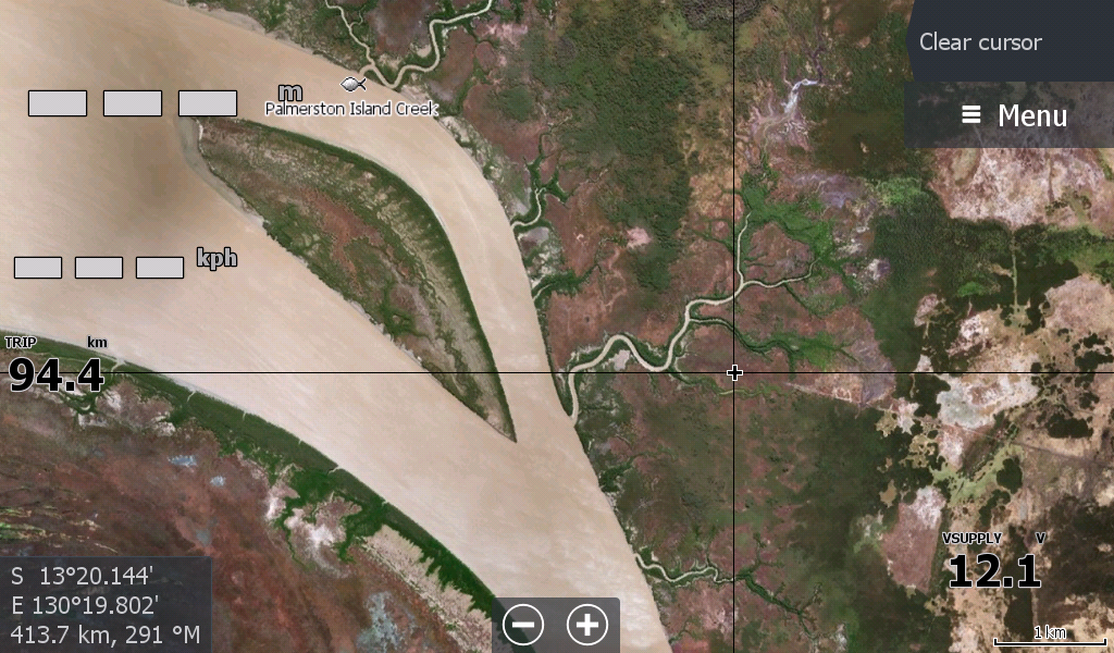
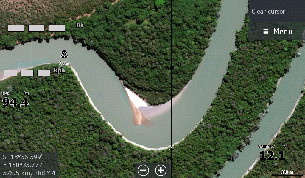
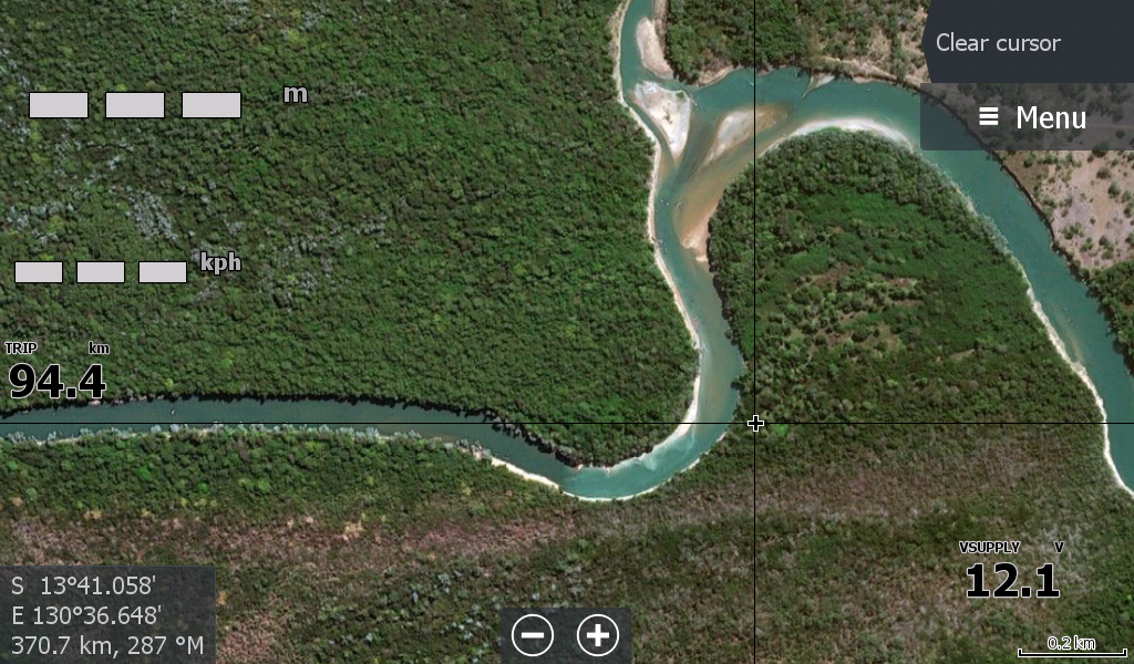
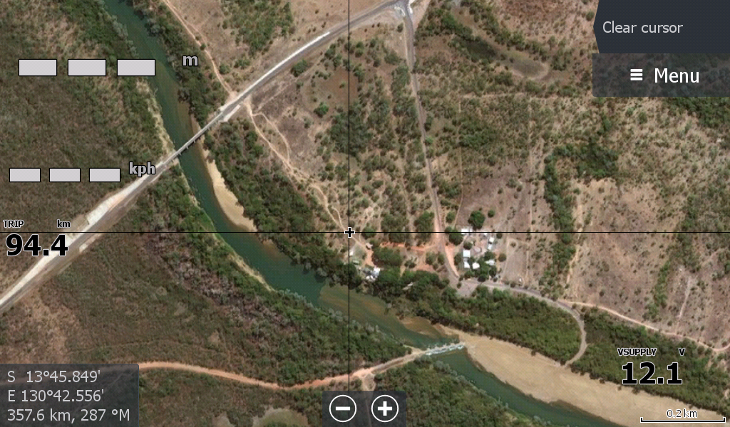
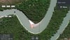
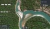
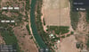
This map covers the Peron Islands (the Perons) out front of the Daly Mouth down to Port Keats Anson Bay, Palmerston Island all the way to about 10kms upstream from the Daly River Crossing.
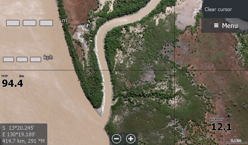
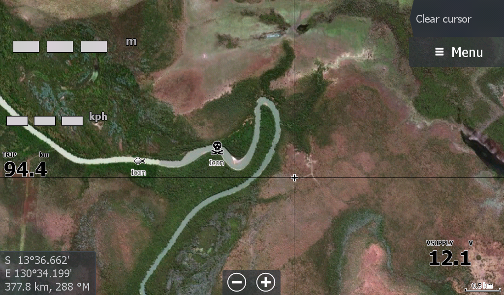
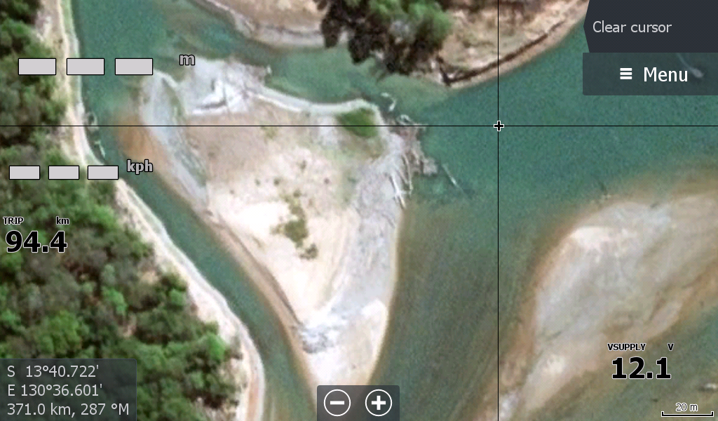
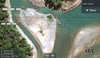
The imagery shows a few sandbars & rock bars that is pure satellite luck & may be many years old. The sandbars may have moved by now. The rock bars probably have more alloy on them. But it gives a great layout of where you are and any nearby roads that you can utilise in case of boat trouble.
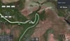
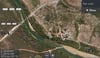
The original map followed the Daly all the way several hundred Kilometres to the Katherine / Flora River Junction and had extra zoomability that isn't required and has now been revised/removed. Reducing the file by several GB in data making it more responsive.