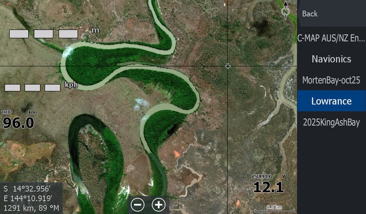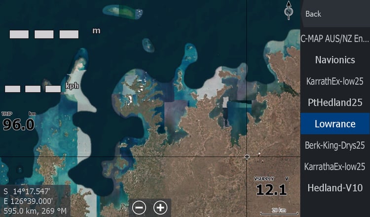


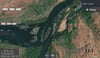

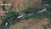

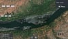
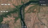
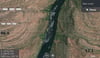
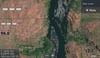
dam2dam - Kununurra WA
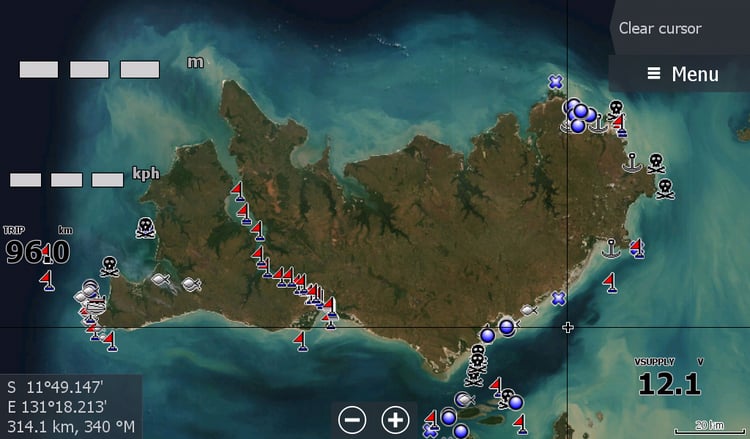
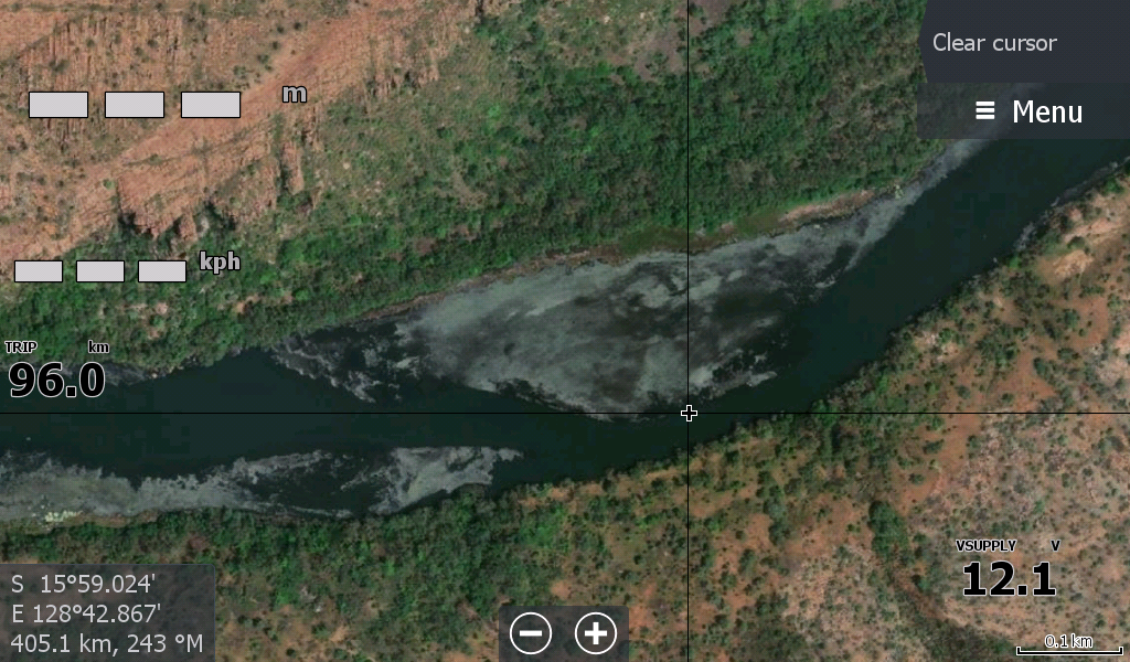
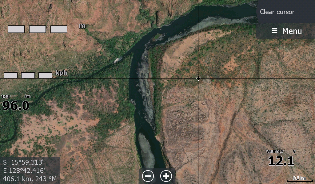
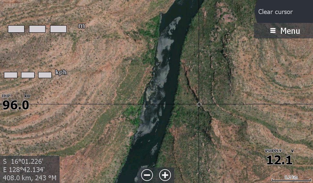
This map was made specifically for the racers of Kununurra's Dam2Dam event. Or anyone who fishes the Ord River between Kununurra and Lake Argyle dams in Western Australia.
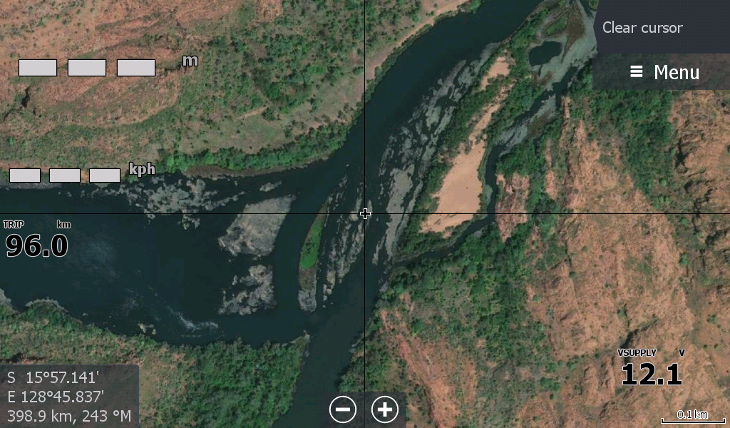
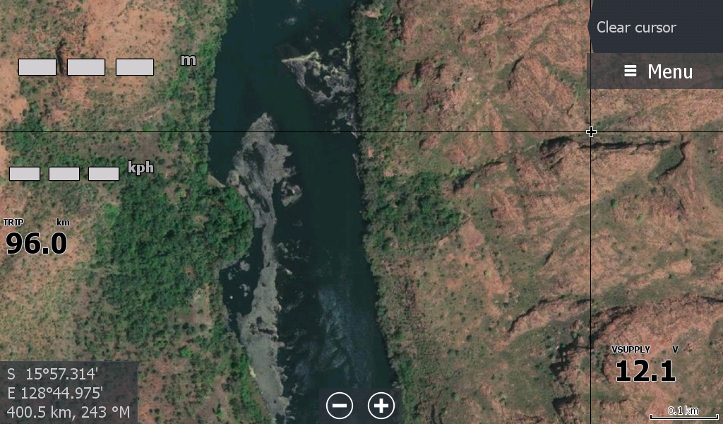
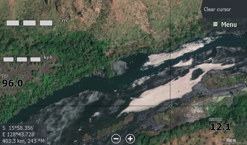
The satellite mapping overlay source was deliberate in getting the lowest water level available to show the many rockbars and obstacles the racers will face, even if the water level has been raised after the wet season outflows.
It may save a skeg or two during prep runs as I really don't think anyone has time to look at a chart plotter during this race.
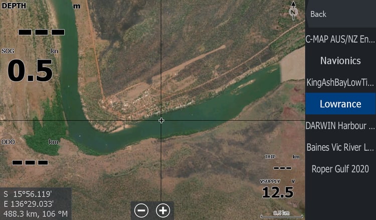
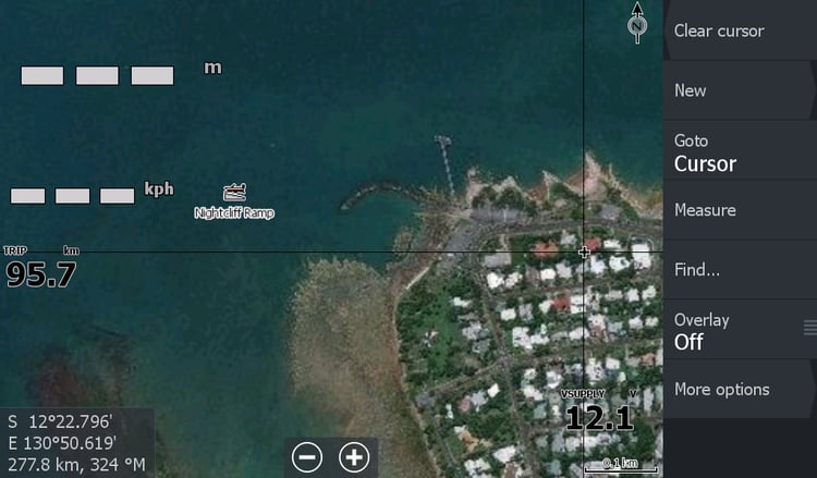
This map will be under "Lowrance" in your tabs & don't forget the shaded relief tick to display it.
FYI this map will run on an older and cheaper Lowrance TI Elite Mounted in boat as a display only. You don't need the depth transponder attached for it to work.