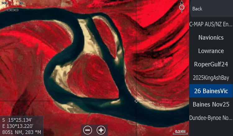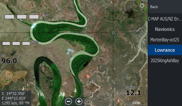
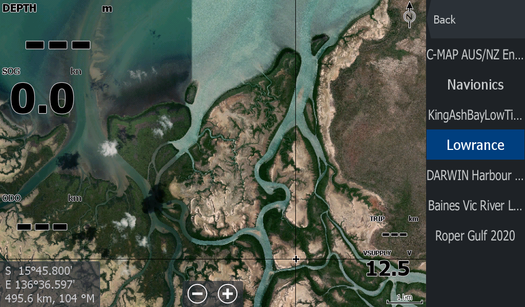
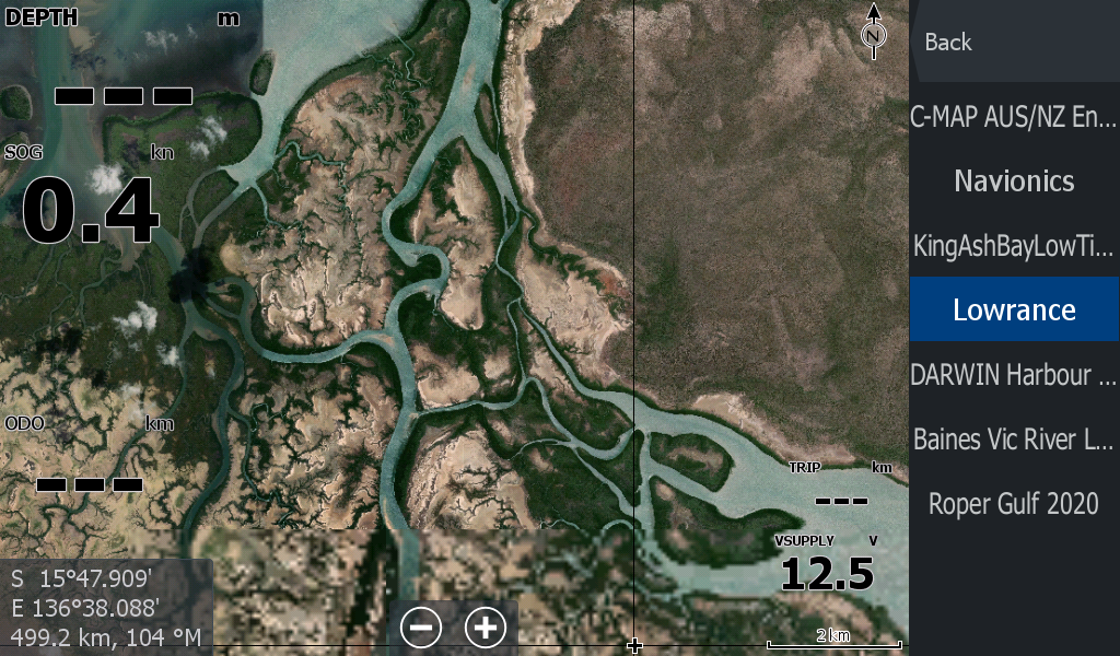

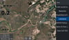


King Ash Bay NT Satellite Imagery
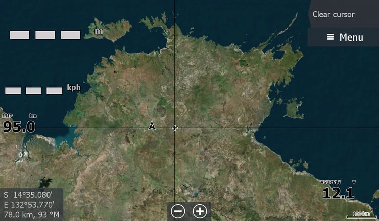
King Ash Bay Borroloola - Sir Edward Pellew Group of Islands Northern Territory
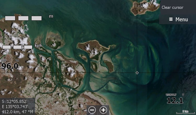
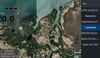
Launch from famous King Ash Bay Fishing Club and follow the river out to the islands.
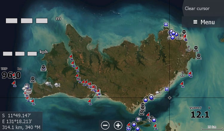
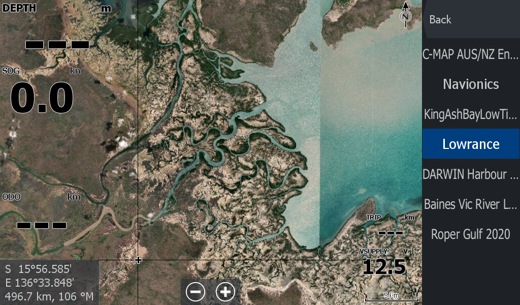
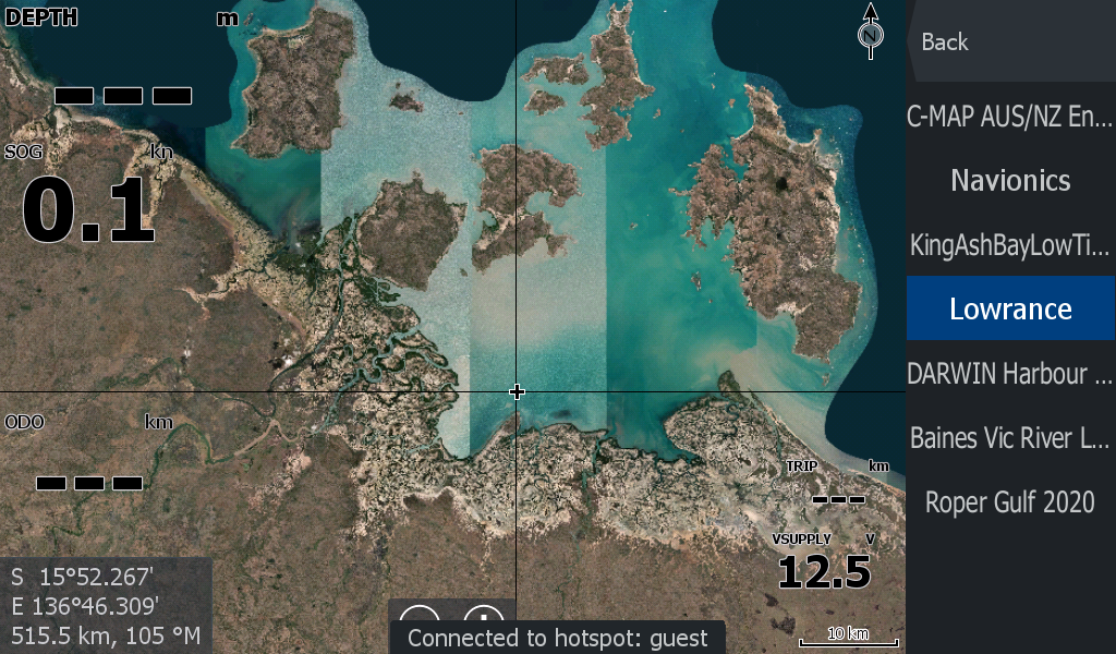
The map includes Wearyan River, McArthur River, creeks North of Bing Bong & all the Islands in the group.
The file is larger than the usual as it now includes Rivers all the way to the Qld Border, Robinson River & Calvert River.
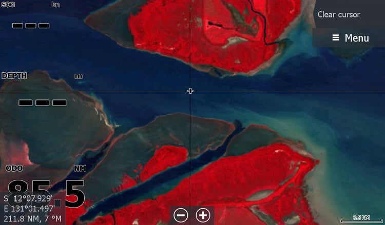
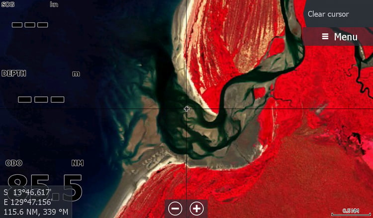
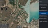
When you have a chart full of lines going everywhere on your screen ducking in and out of creeks, you can now have a proper overlay showing exactly where you are and which creek you actually put that crab pot in.
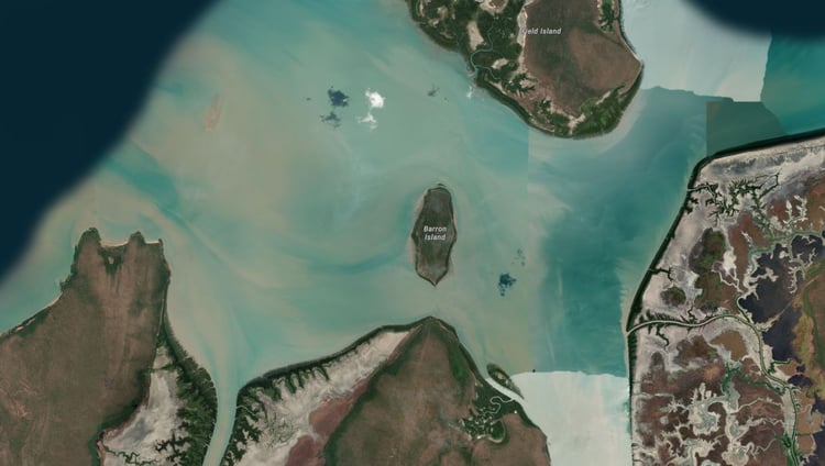
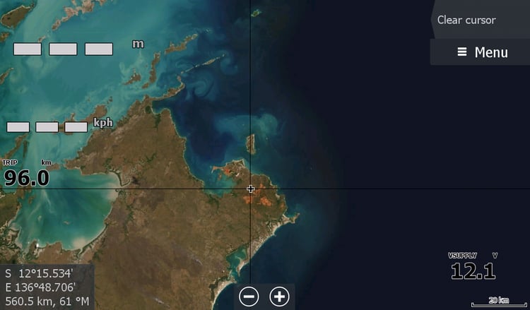
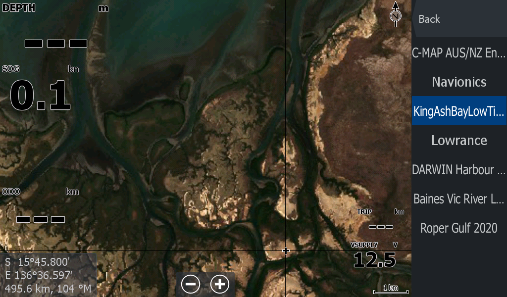
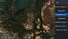
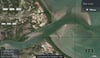
It shows some clarity of river and creek mouth sandbars, but the image may be 10 years old so don't trust the sandbars 5km out to sea.
This map goes hand in hand with the updated Low tide map of King Ash Bay which is the indicator map of sandbars in the region.