


Roper River NT inc The Phelps, Towns
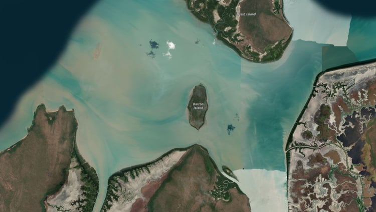
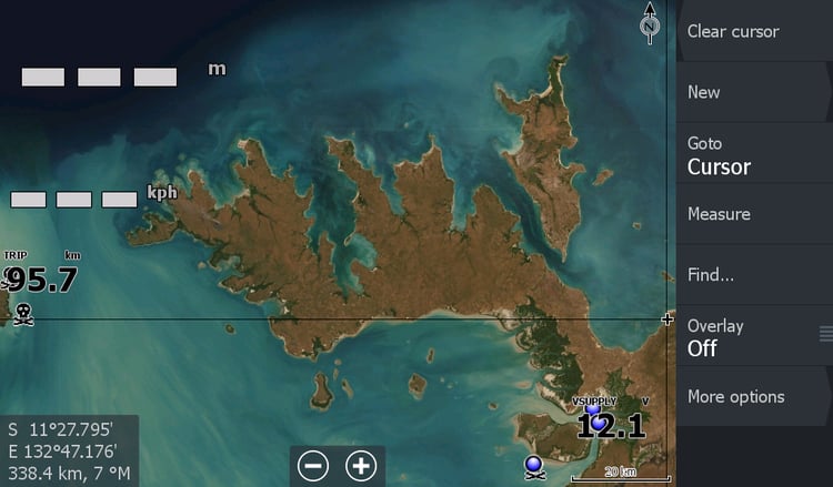
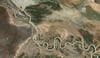
Roper River Northern Territory. This imagery goes above and beyond with resolution & zoomability to all the known hot spots. It includes imagery from Roper Bar to the Mouth and Maria Island. Up to Numbulwar & South to the Towns River.
(The Towns River is covered from the roadside launch site to the Gulf) The Phelps and its creeks, Port Roper boat ramp, Big River, Wyuppa Cowboys Creek, Blackfella Creek, Prawn farm, Hawks nest, Twin Rocks.
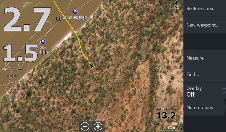
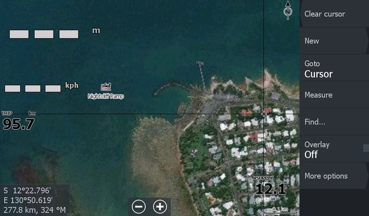
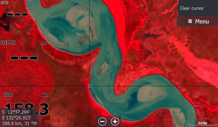
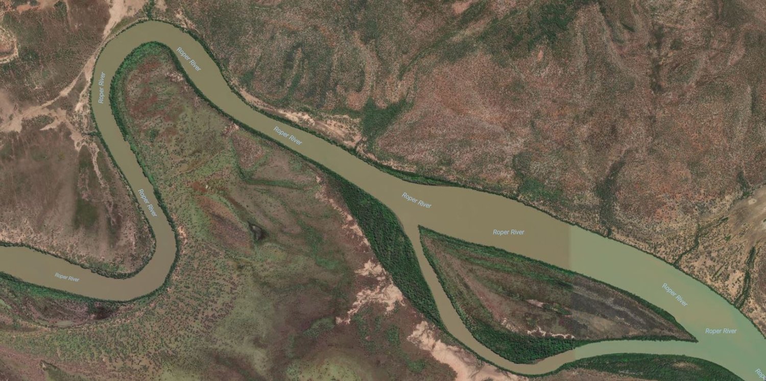
This map is a must for people launching boats at Tomato Island and heading down river at night or back up to Hodgson River mouth.( Tomato Island rock bar is very visible) You can view Twin Rocks & the old hazardous wrecks on the map and hopefully avoid them. To avoid the many other hidden hazards you still need local knowledge & trial & error.
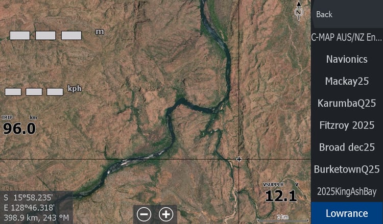
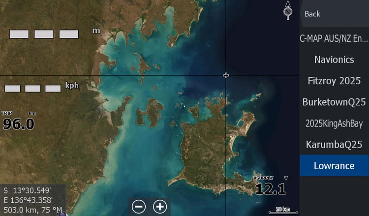
For those launching at Port Roper you can follow the many tributaries like the Phelps to the upper reaches & sneak out the mouth to the Towns River or Maria Island.
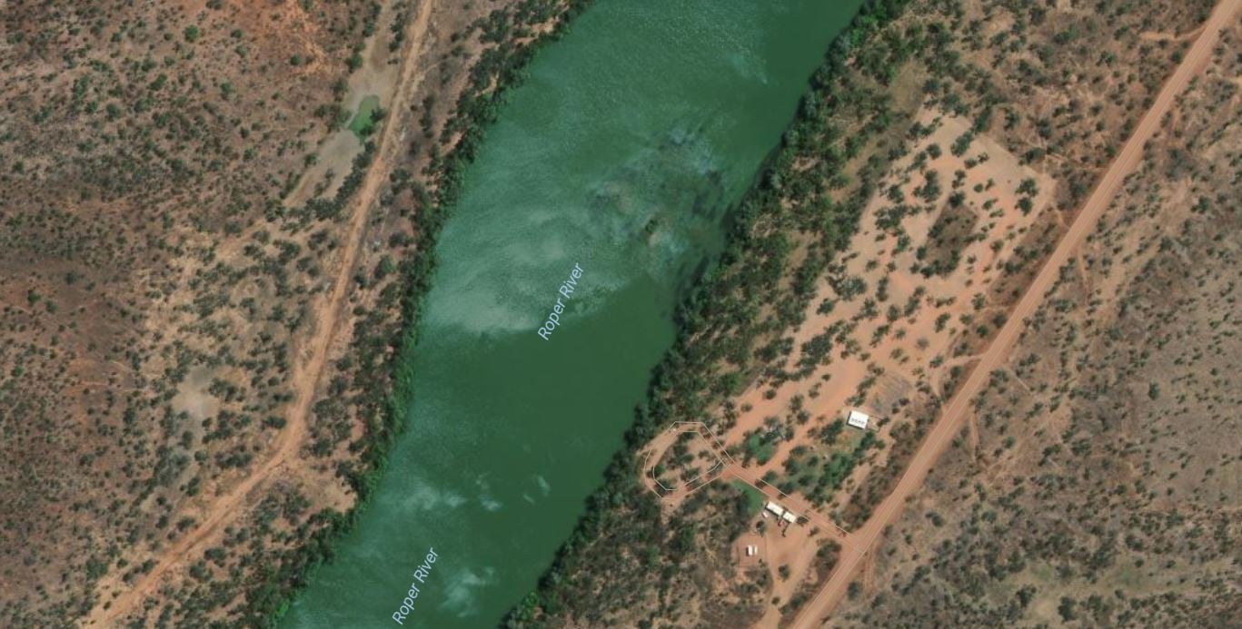
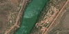
Once again you cant rely on any sandbars showing on the map to still be in that spot.
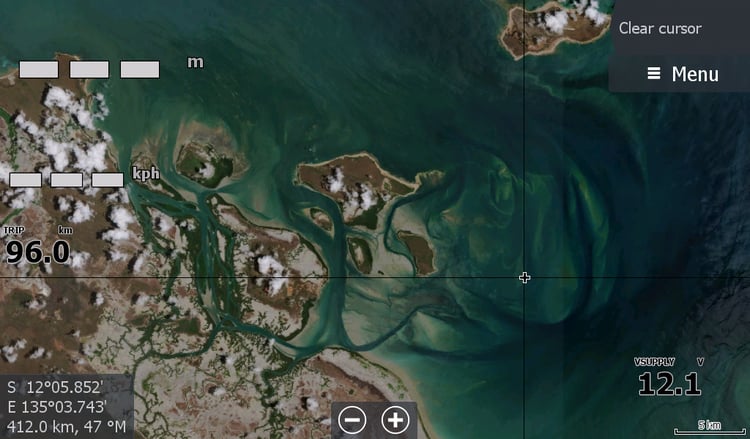
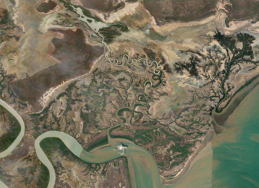
The yearly "low tide" imagery for Roper Mouth is the map I'd also be looking out for to supplement your collection , giving a better indicator of approaching the snaking creek mouths from the sea ( Limmen Bight ) Gulf of Carpentaria side, As all that water looks the same sandy colour as the sand bars when you are in a bind 5kms out to sea heading South & then West and still not out of the Ropers mouth as those sandbars rise out of the water all around you..