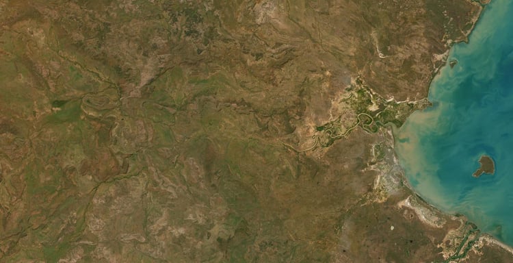
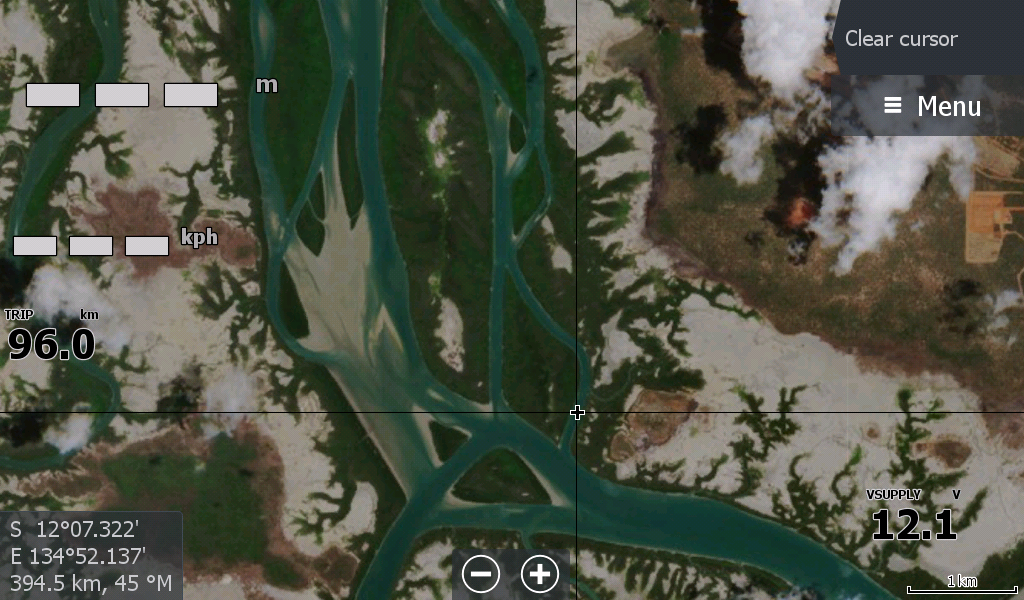
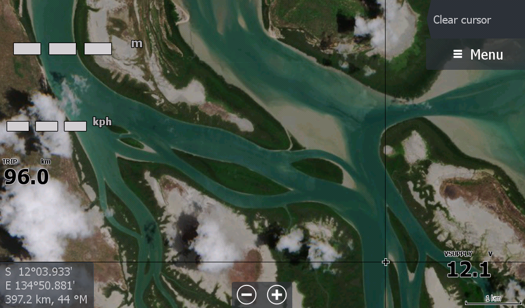
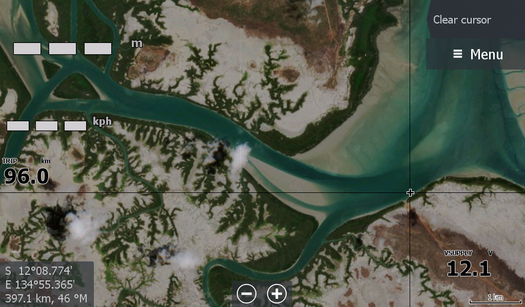
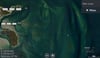

Milingimbi Low Tide 25 Map
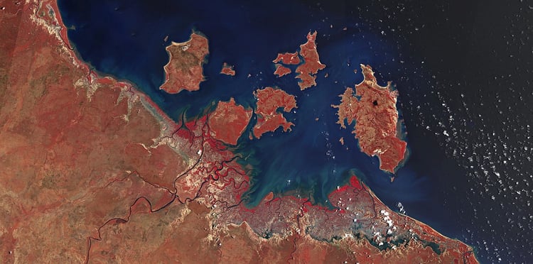
The Milingimbi Low Tide 25 map, covering the Crocodile Islands.
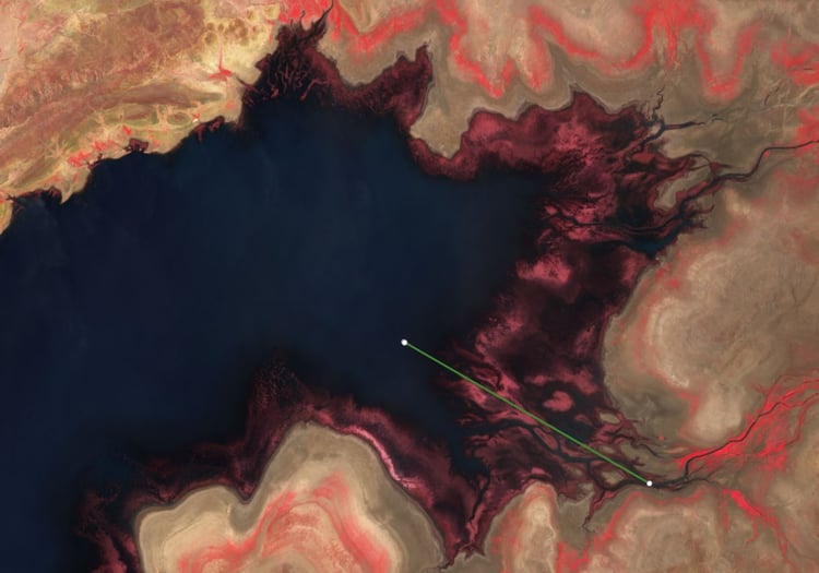
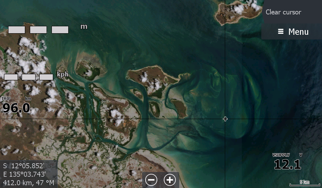
Don't be confused that this is not a "Top End Maps traditional Red Map" for low tides. The waters in this map were running very clear and blue & the sand was white so there was no need to differentiate the usual muddy water from muddy sandbars with a red filter.
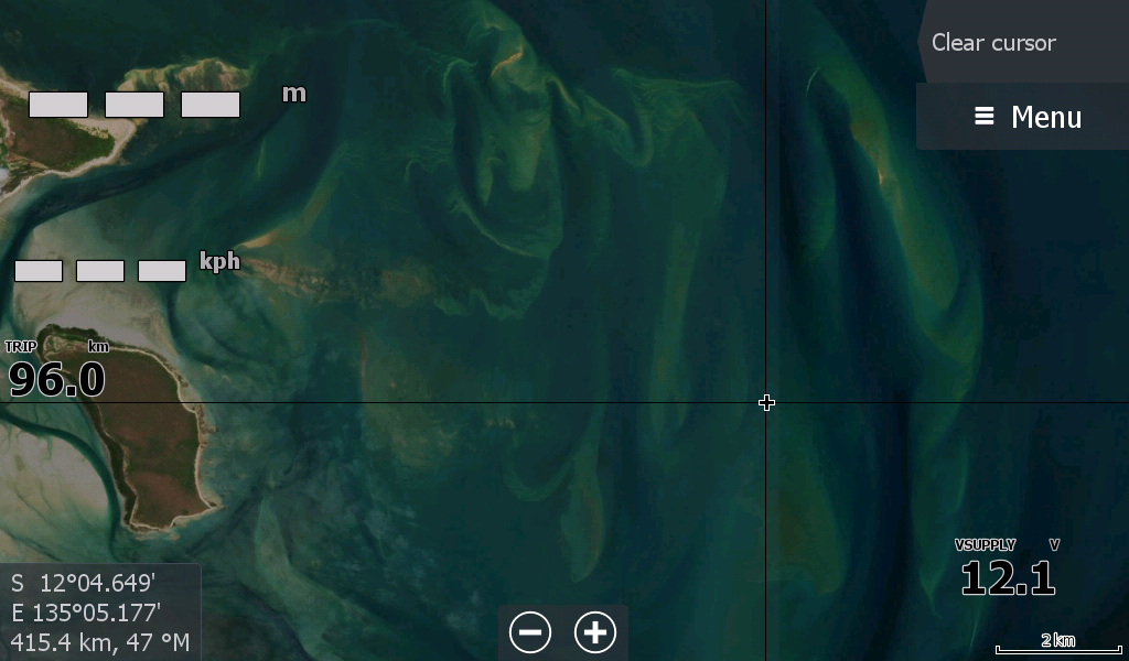
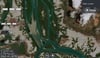
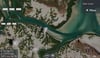
This map brings out the shoals ( to the East of the Islands) that are missing from the traditional satellite maps you see online, and although the low tide maps are not the greatest resolution it clearly shows you a vast network of channels around the Crocodile Islands you can follow for when the waters get stirred up.
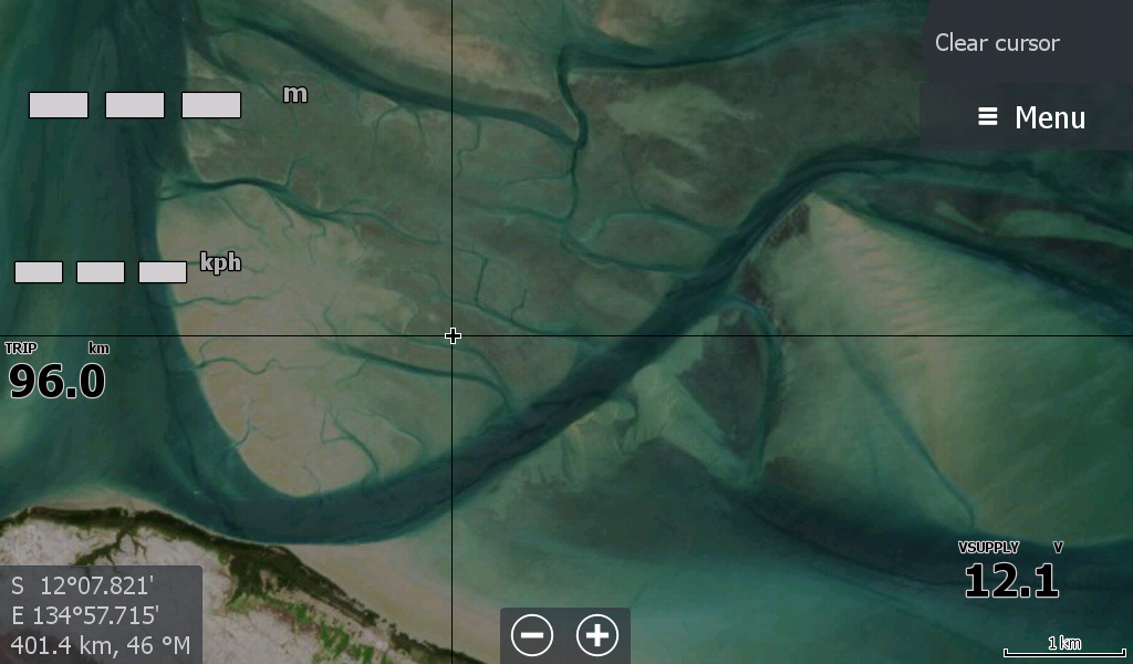
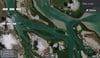
The creek/river mouth on the mainland to the north West of the Islands is obscured by a cloud, however I have checked on prior maps and it appears to be a fairly straight forward entry without much sand built up.