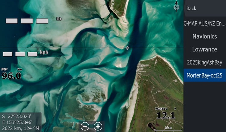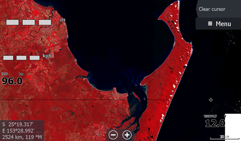

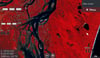
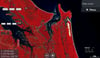
Maryborough - Bundaberg Qld Low Tide Map 25
Low Tide Map for Maryborough, Hervey Bay, Bundaberg .
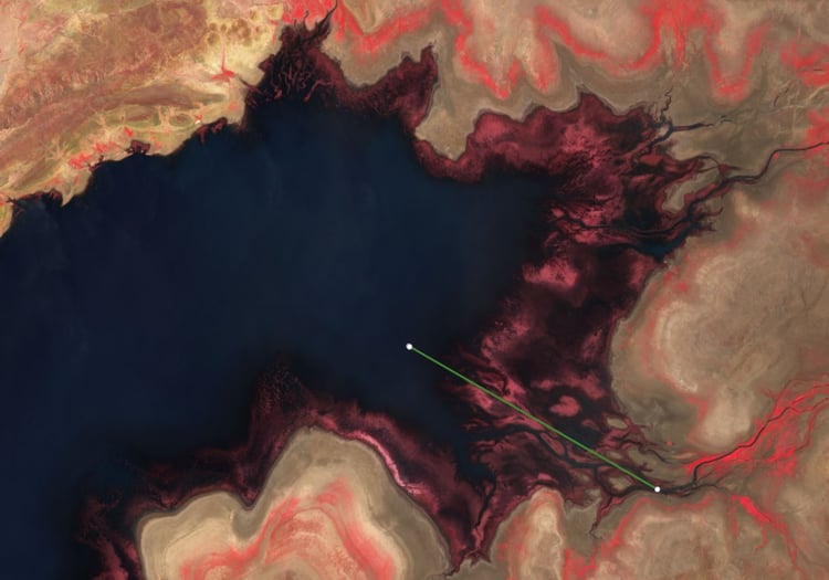
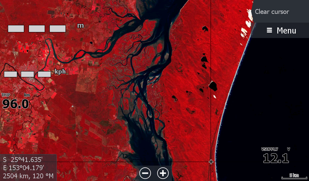
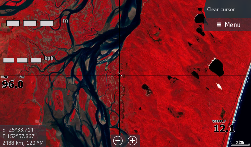
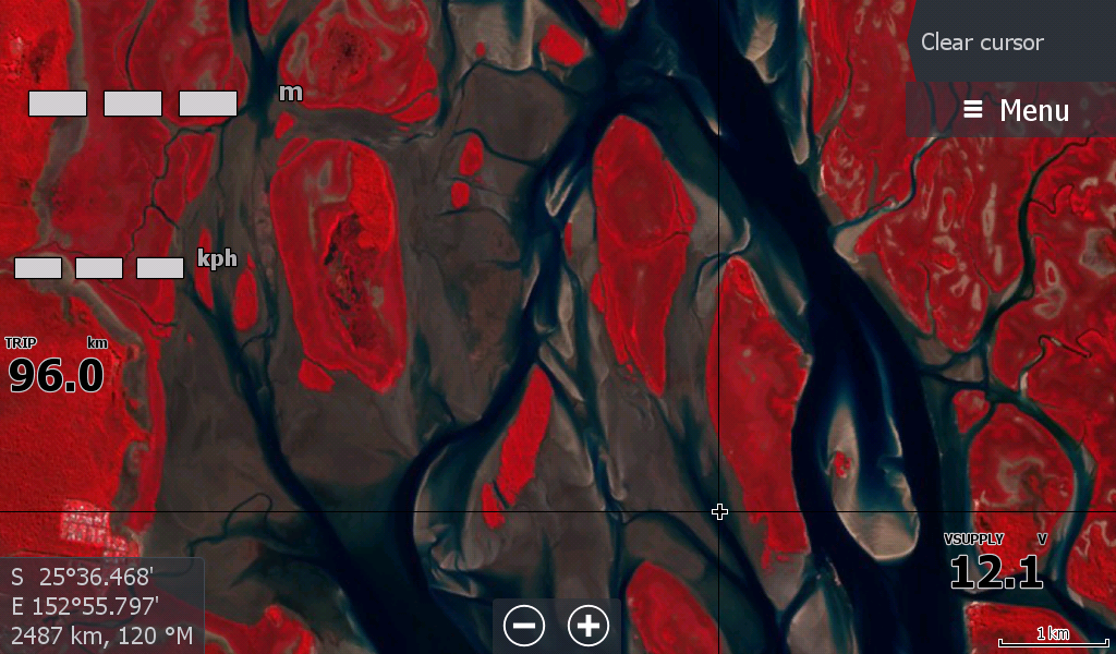
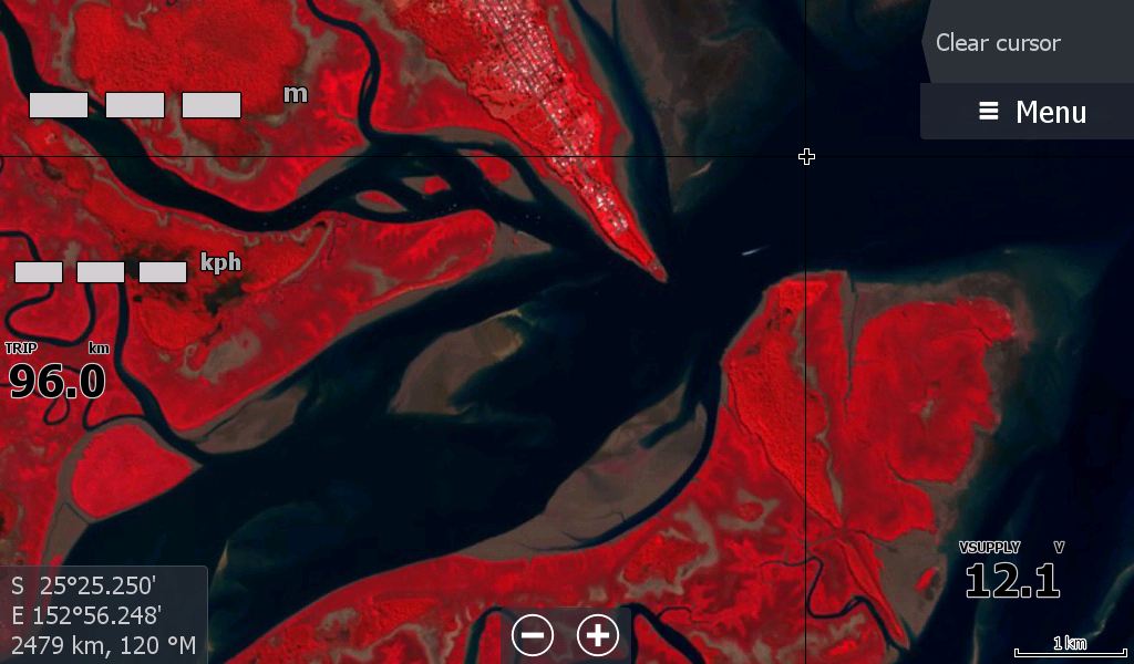
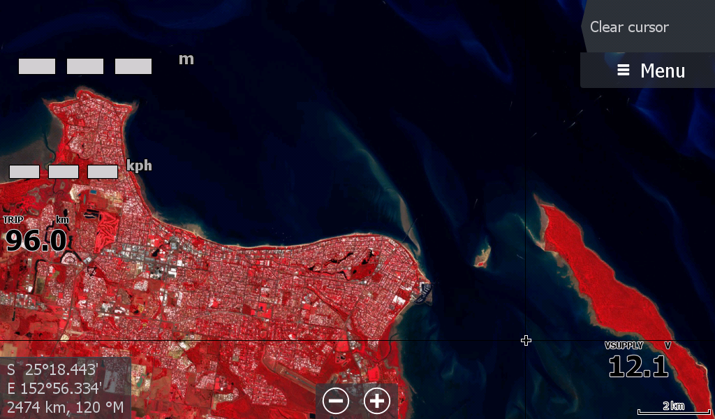
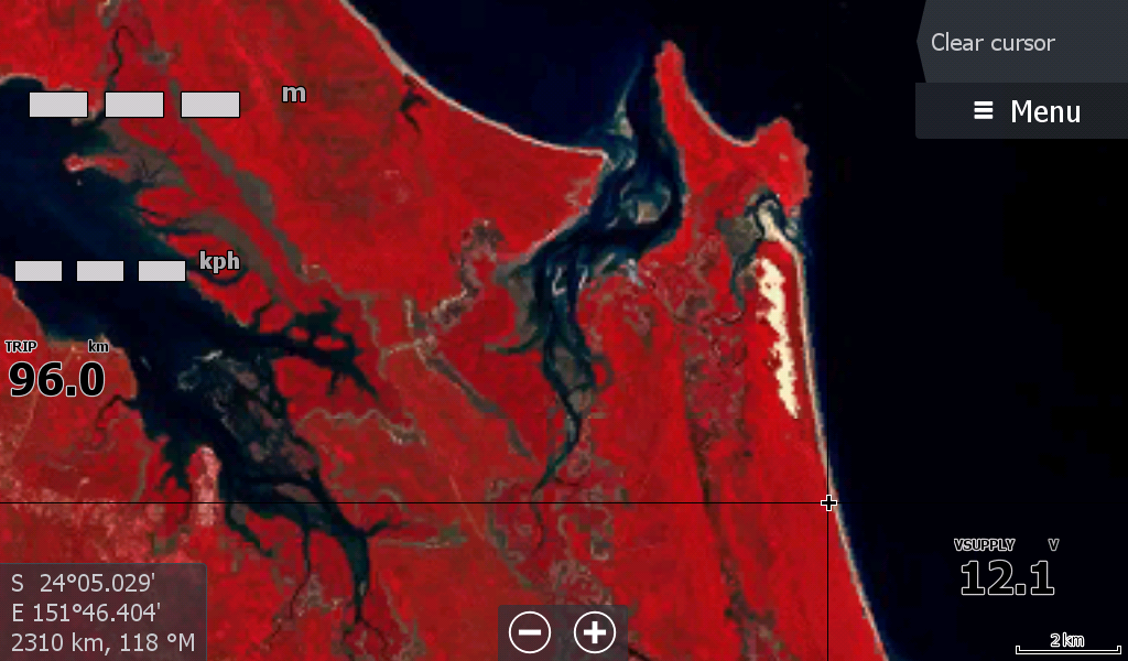
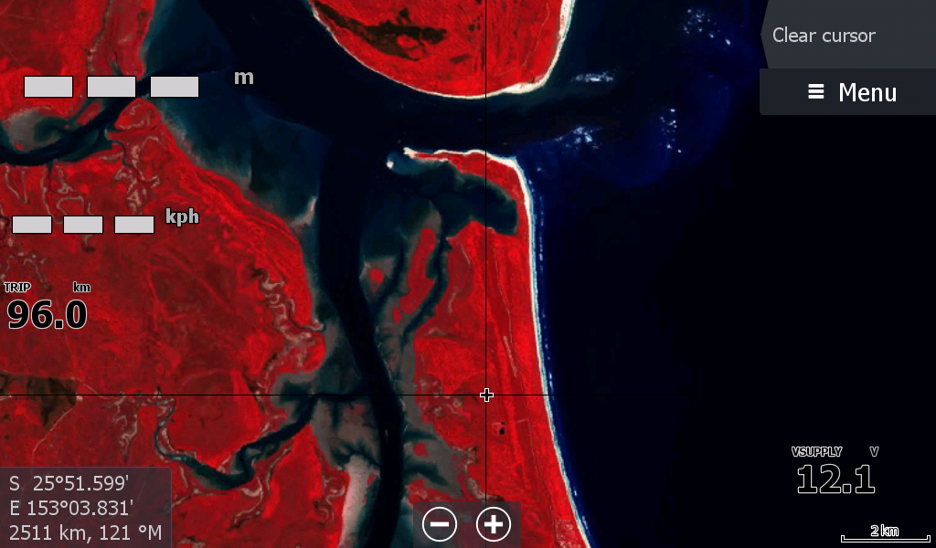
Starting at Turkey Beach where the Fitzroy Map left off. Includes Otoway creek Agnes Water , Burnett Elliott Burrum Heads and follows the coastline all the way down through the Great Sandy Straight to Tin Can Bay & Rainbow beach.
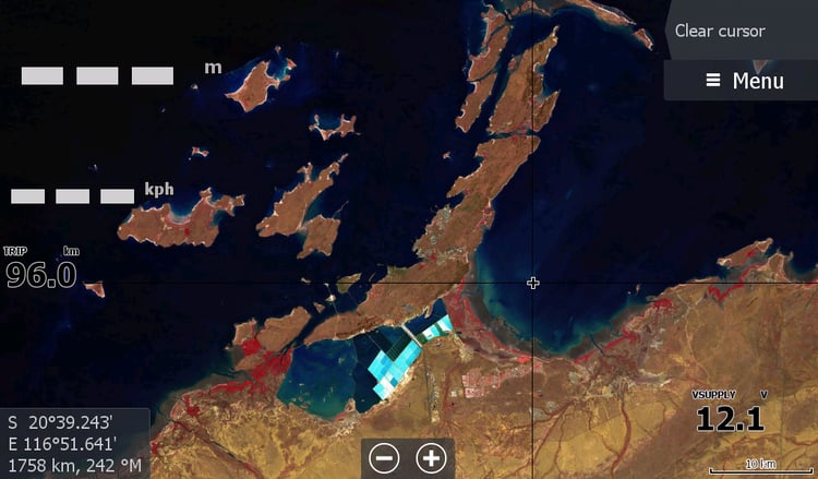
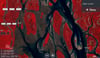
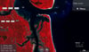
The larger images depict Fraser Island, however the only close up imagery of K'gari is along its Western side through the straight and sandbars.
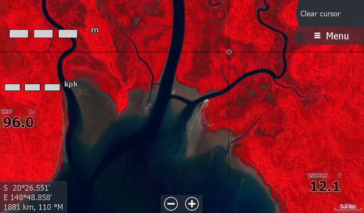
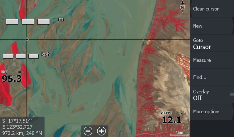
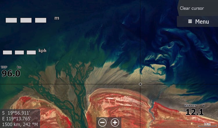
The Low Tide map range are of a lesser resolution than my other satellite maps (a different satellite), but pack a punch of details that you want to see.
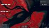
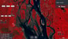
This map isn't for deep sea fishing or going to the reef, its to give you a bit more information on what is in that coastal creek that you have almost been stuck in while out crabbing or flicking amongst the mangroves.
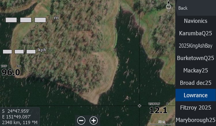
Please follow on facebook to keep up wiith new maps & updates, & check out the tutorials on how to how to get the map working in your lowrance chart plotter.