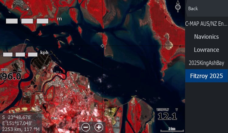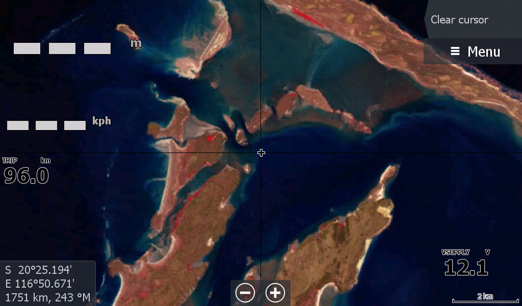
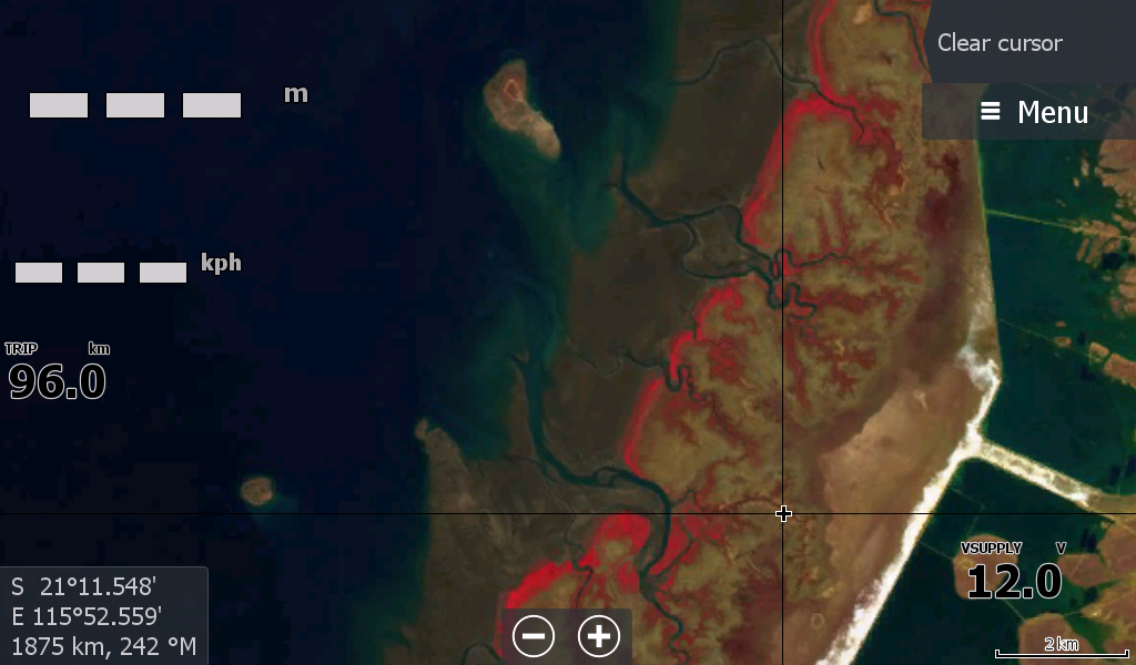
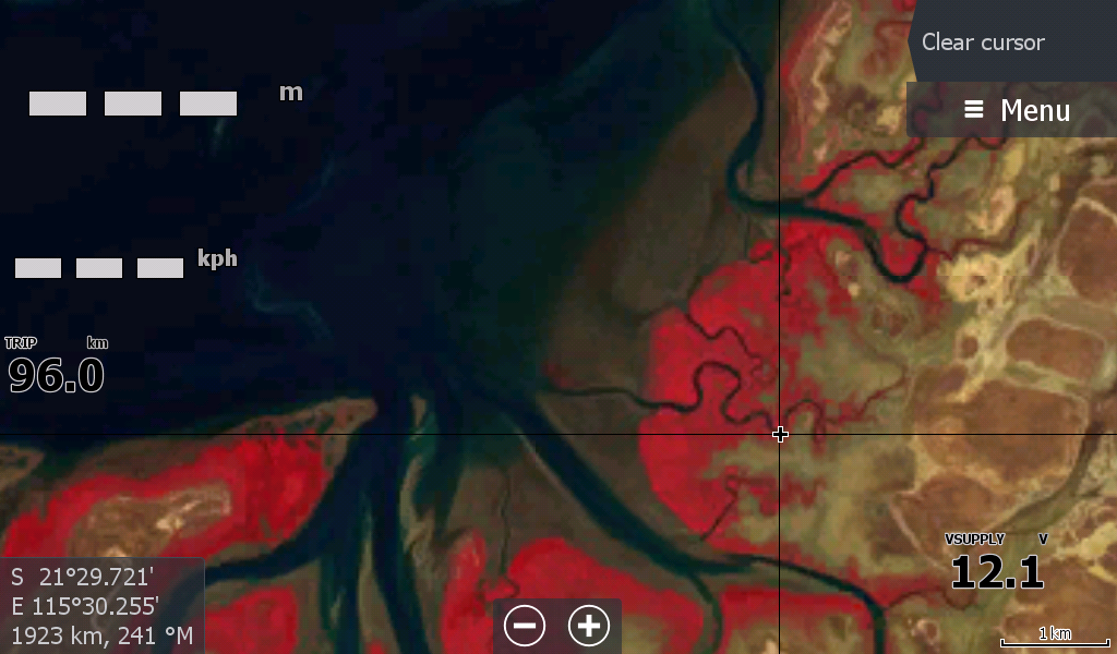
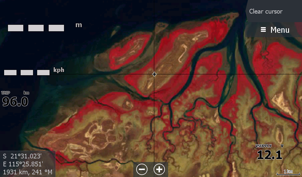
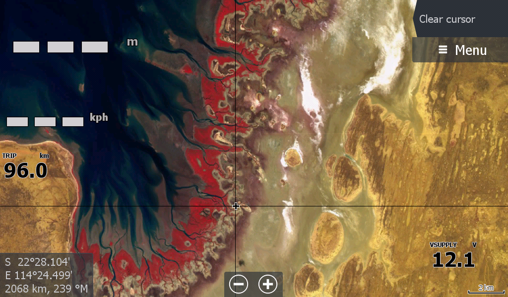
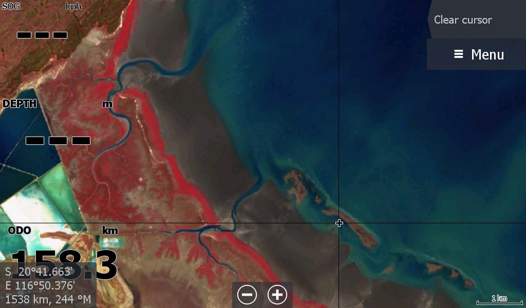
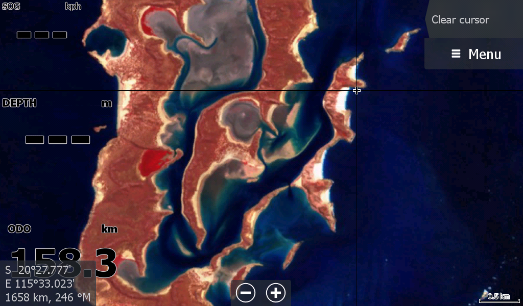
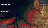
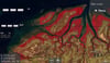
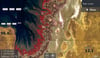
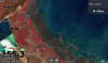
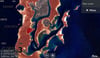
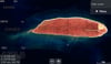
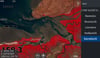
Karratha to Onslow WA Low Tide map 2026
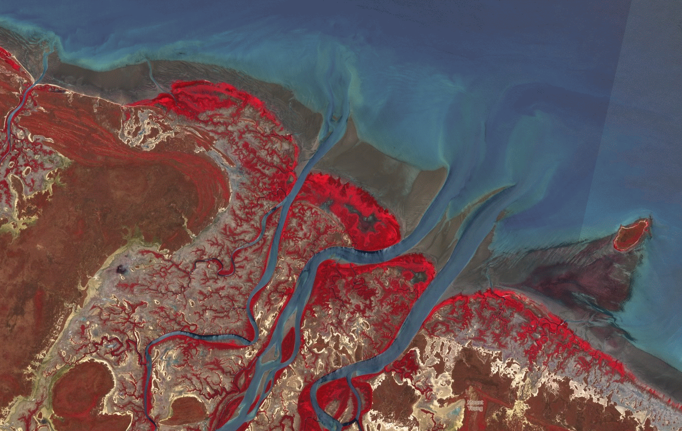
New "Low Tide Map" Imagery 22July 2026-
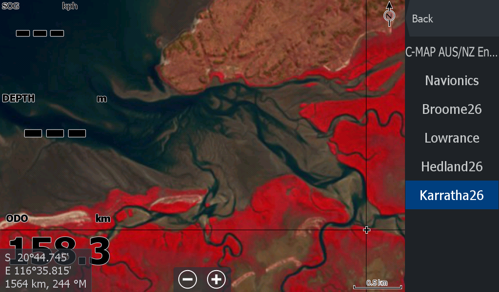
This Section from Karratha / Pilbara Region starts at Point Samson/ Wickham Point ( where the Port Hedland low tide map left off) and covers all the way past Onslow to "near" Learmonth in the Exmouth Gulf.
( The 2025 map covered more of the "Eastern Coast " of Learmonth, but this satellite coverage fell short of Cape Range this time, but has the creeks of the Southern Exmouth Gulf)
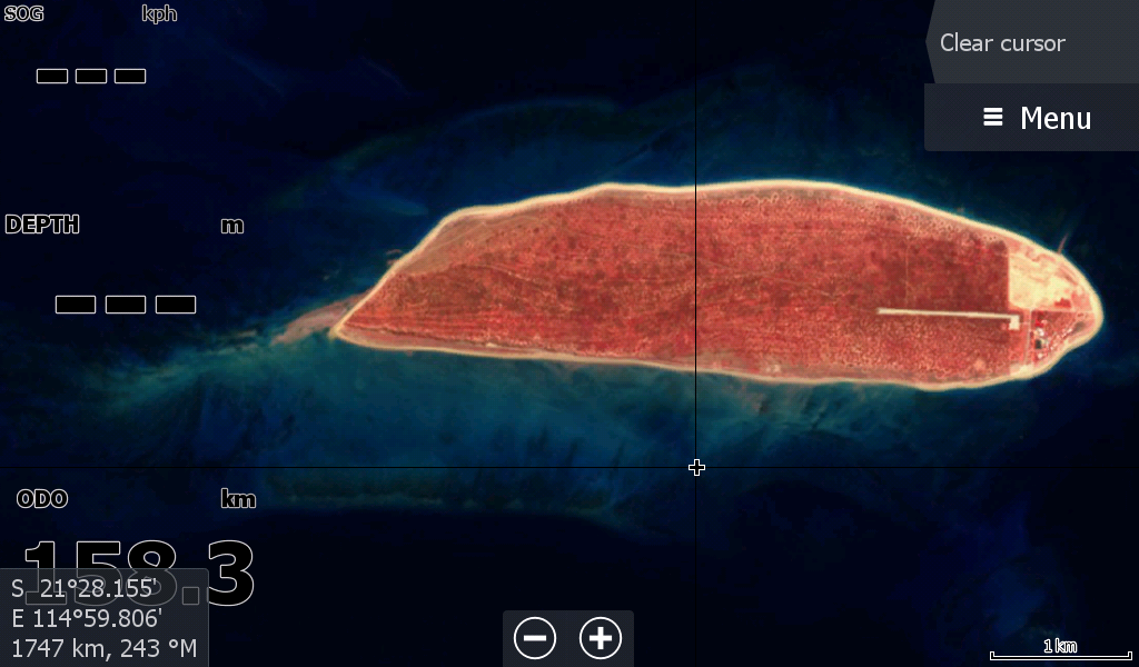
The Islands are included, however you should have your Navionics /or C-Map for your main guidance. This map is for assistance with Creek & river mouth sand deposits.
Barrow Island & Montebello Islands are also on this map.
Just remember that the Low Tide maps are from a satellite that has a lower resolution and are not as zoomable as the general satellite maps. We also have general satellite map coverage for the Pilbara region too that gives better quality image, but not as current as the low tide map..
www.topendmaps.com