Blue Mud Bay Northern Territory
Blue Mud Bay - Northern Territory Arnhemland
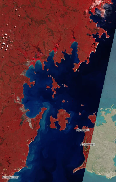
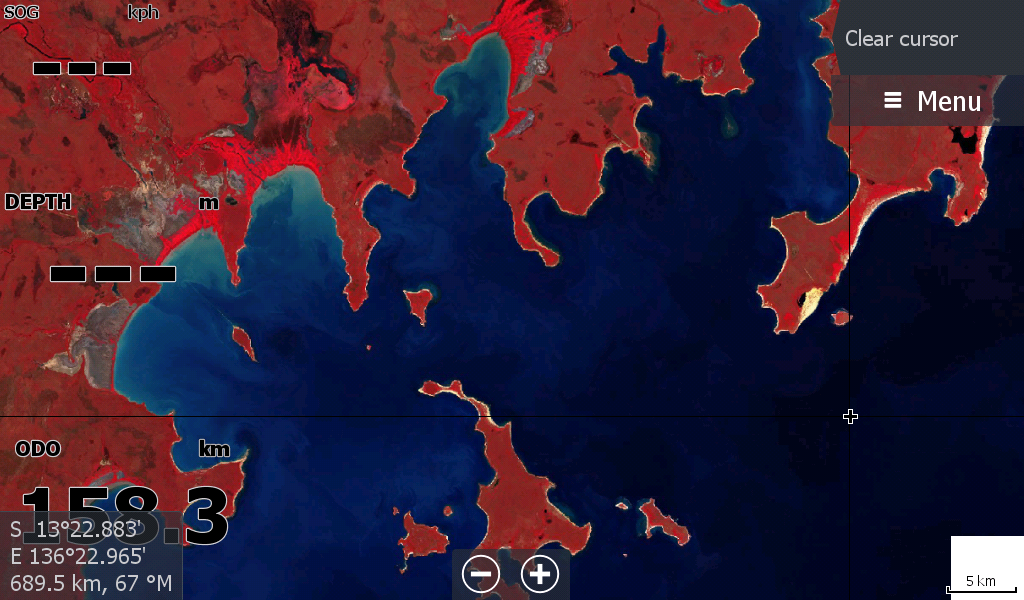
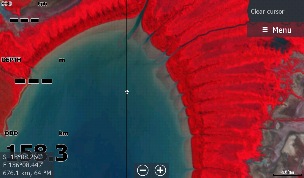
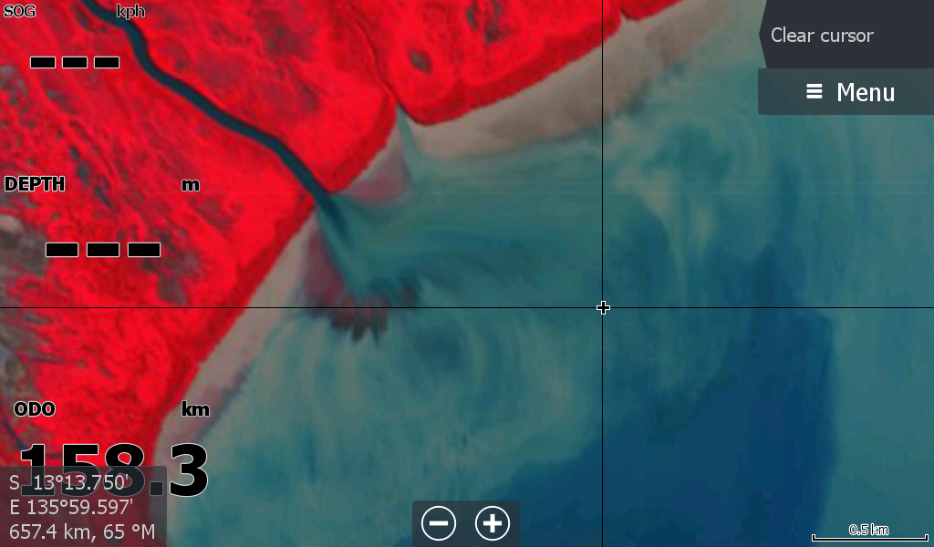
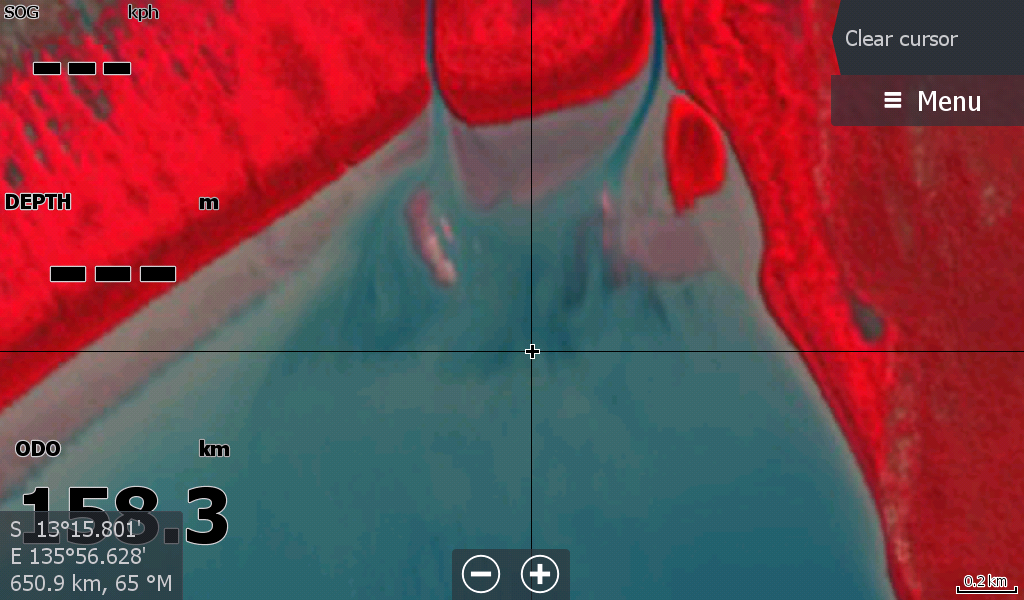
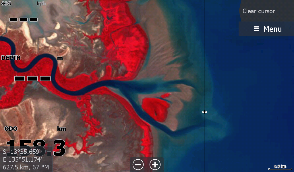
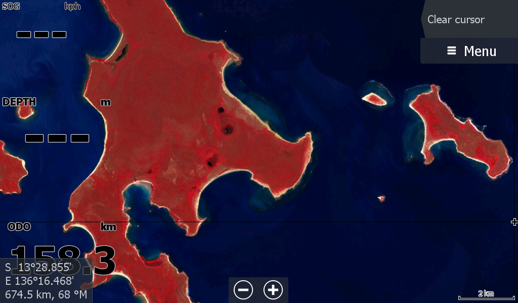
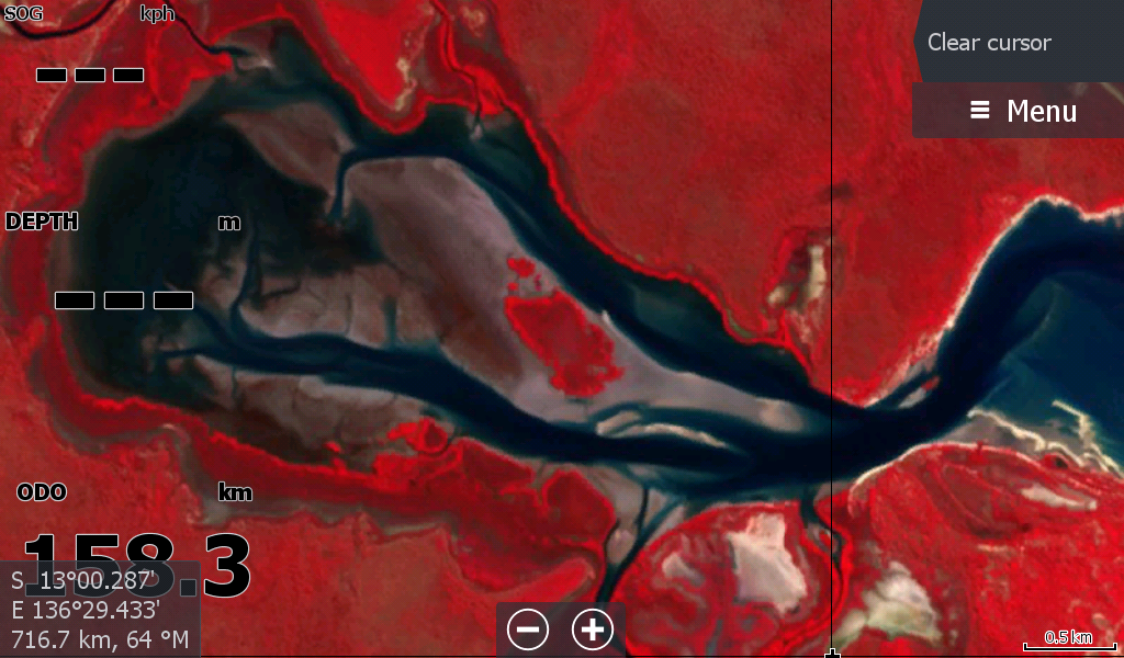
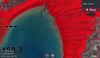
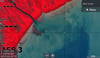
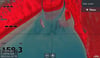
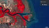
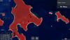
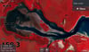
The long awaited "Low Tide" Map 2026 for Blue Mud Bay coastal region.
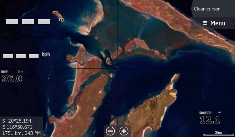
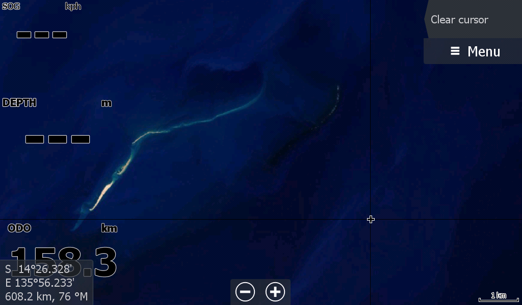
It covers from Numbulwar to Bickerton & Woodah Islands to above Blue Mud Bay ( Caledon Bay) as the cloud appeared. ( Also included that weird reef between Groote & Numbulwar)
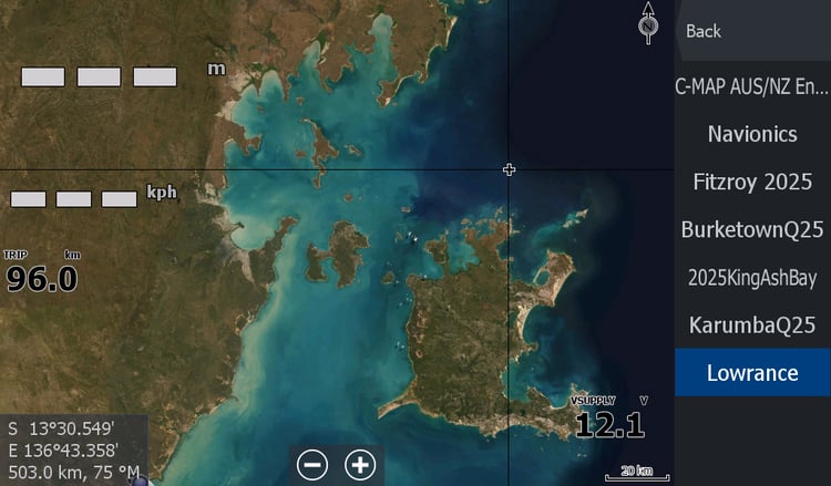
The western Coast of Groote Eylandt is partially included, as it is limited by the satellite imagery angle of the dangle as shown in the first image. ( Only the images are vertical)
I have waited several years to get this image of a low tide without cloud on a day the satellite passed over at 10.30 AM.
It may be years before there is another.
Once again, the resolution and the zoom of all the Low Tide Maps are not great, but they give you an indication on what is around in the muddy waters when you need to know and the areas to be wary of.