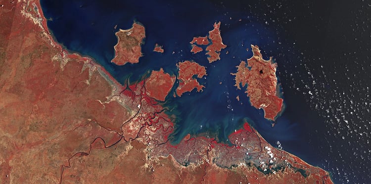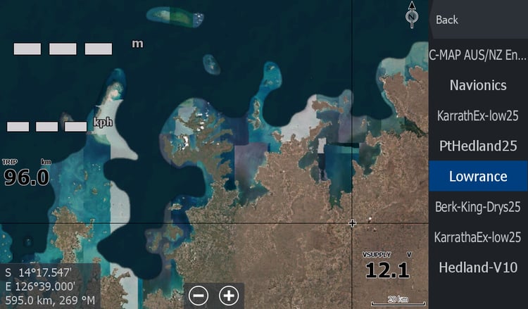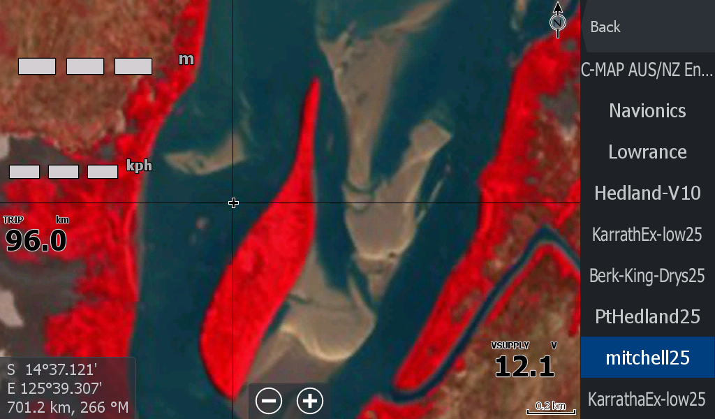
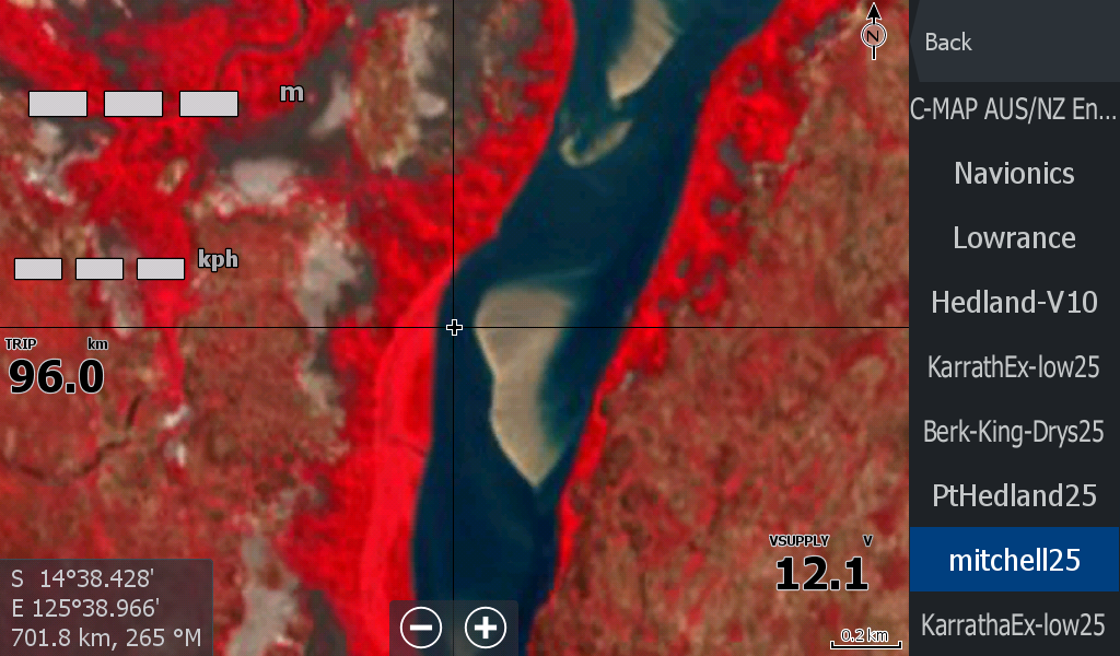
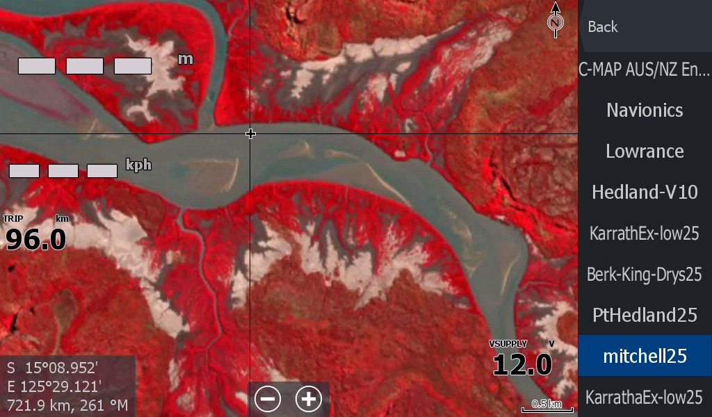
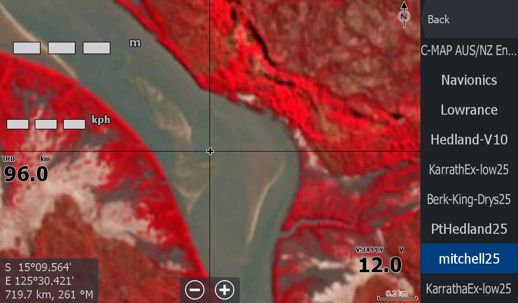
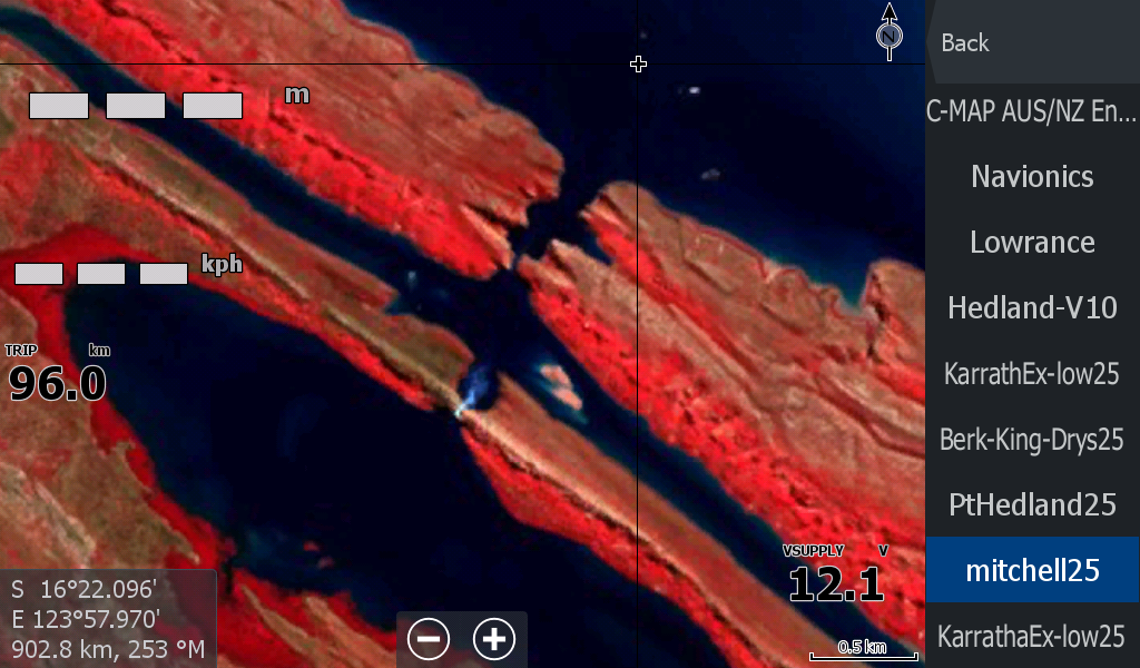
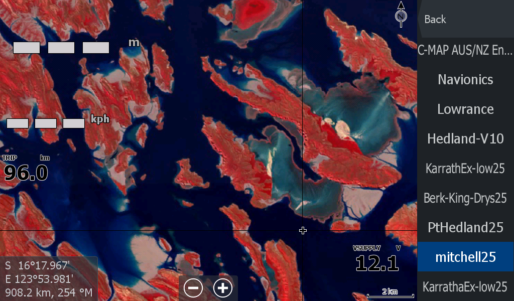
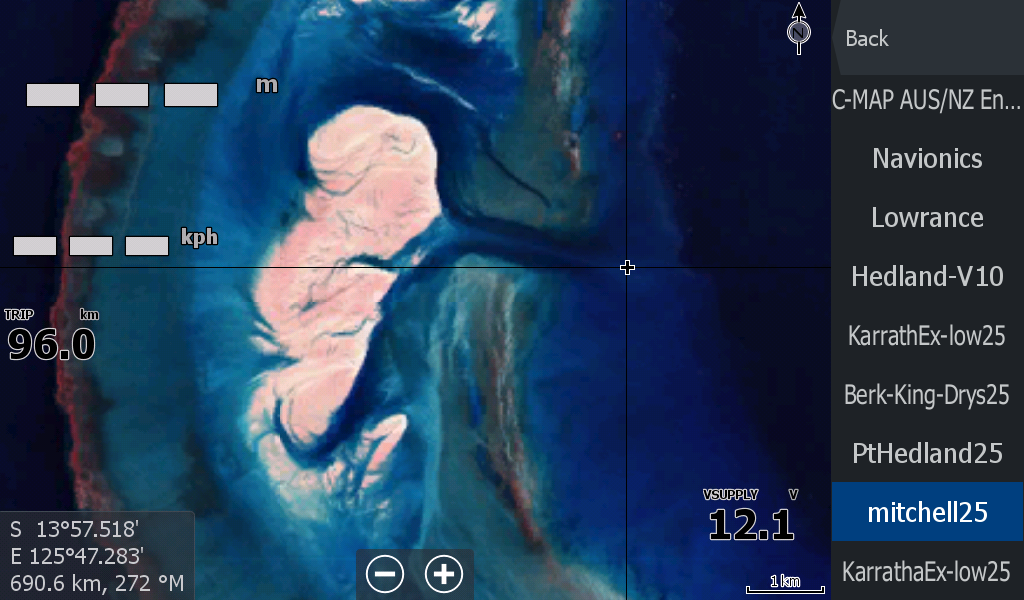
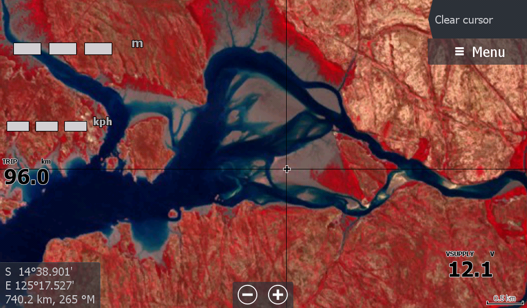

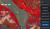
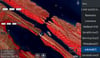
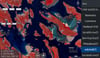
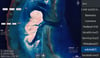
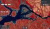
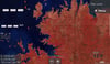
Mitchell Walcott Regent WA Low Tide Map
On Sale
A$15.00
A$15.00
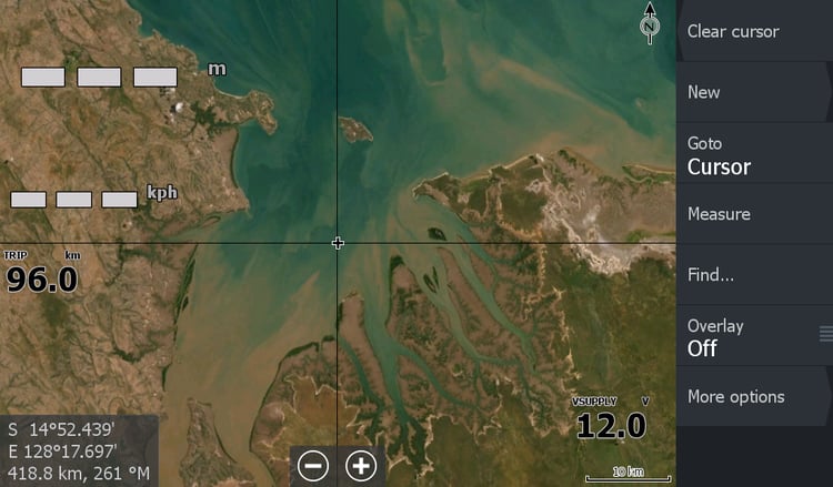
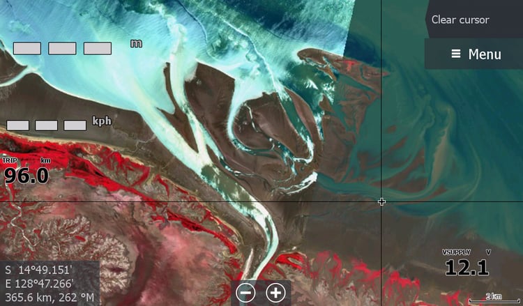
The Low Tide map for the area starting just out of Derby WA and following the coast up to the Eclipse Archipelago (around the bay from Kalumburu) Includes Horizontal Falls area, Walcot Inlet, Mitchell River, Prince Regent River, Prince Frederick Harbour , Lawley River.
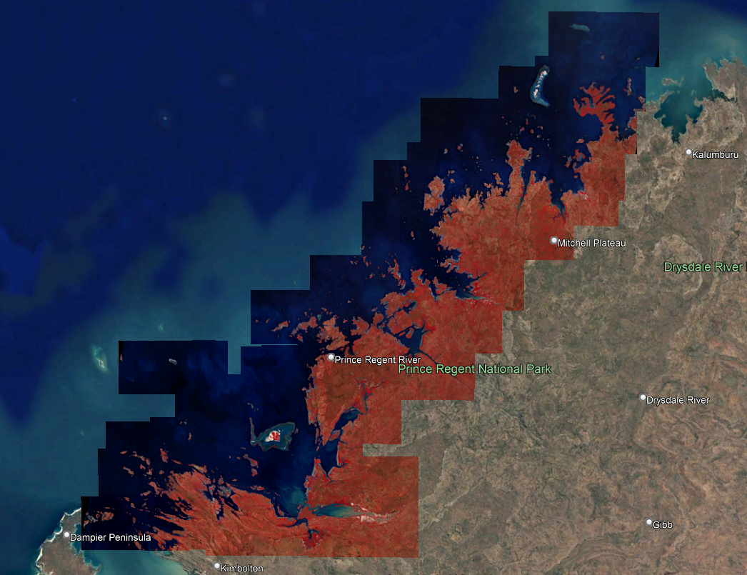
The date of this map is 18August25. More recent low tide timings were not as low as this one & comparisons done indicated this date is the best map for its better sandbar imagery.
This is a rather large low tide map & challenging for all the islands & coast. This may be the future base map for the region & only the highlighted tourist hot spots would be updated supplementary.