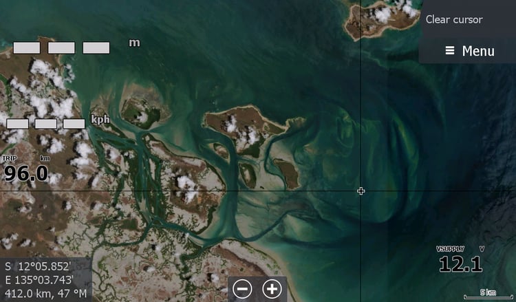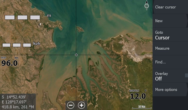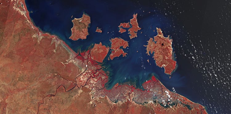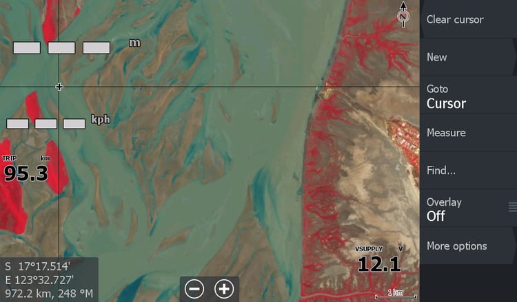
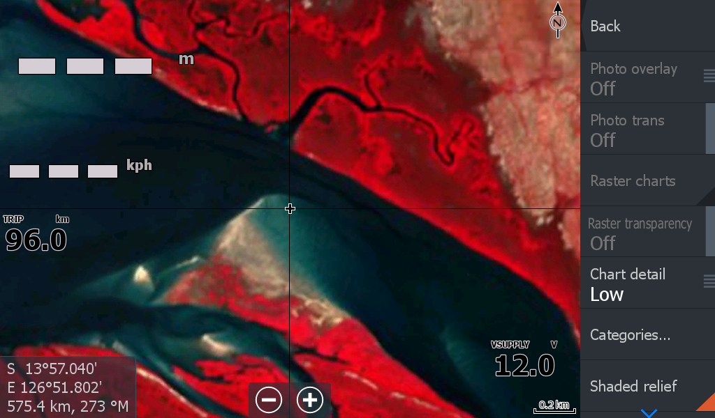
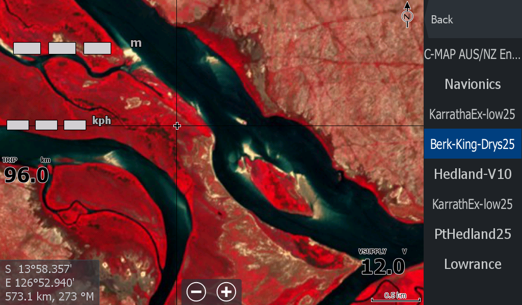

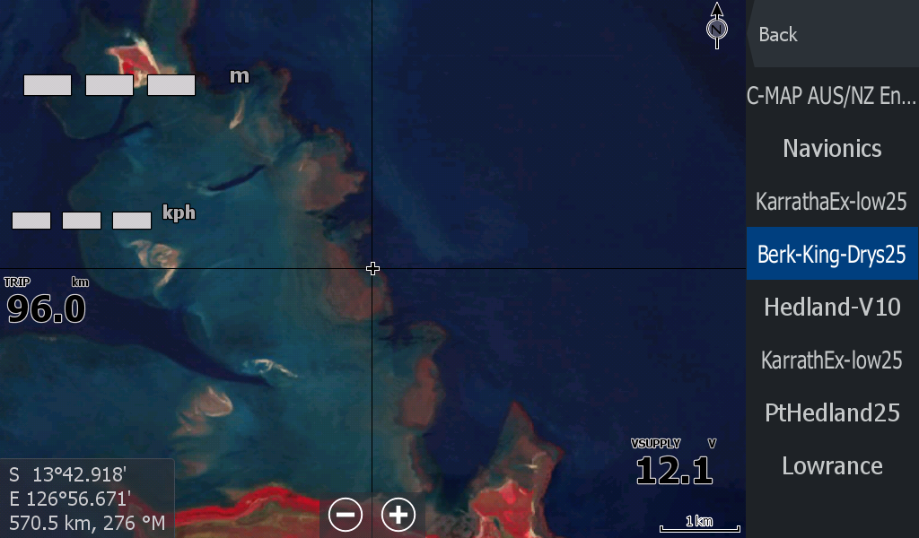
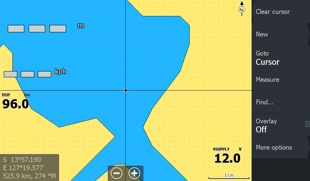


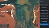
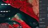
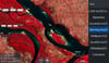

Berkley -King George- Drysdale Rivers Kalumburu Low Tide Map
On Sale
A$15.00
A$15.00
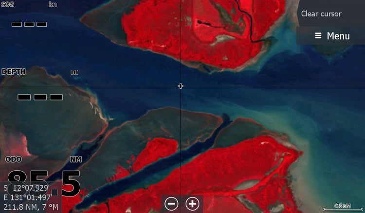
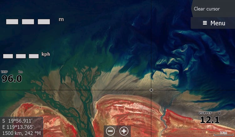
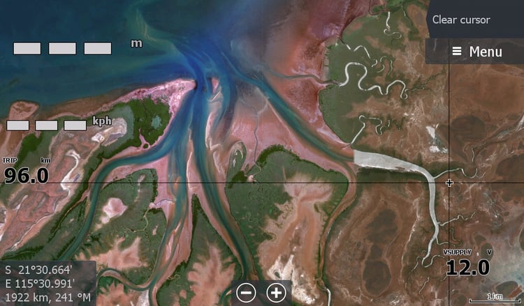
A low tide map for the few boats that venture to these areas on the North - North West Top of Western Australia.
This map features the entry points through the sandbars to the idyllic tourist attractions of Berkley River, King George Falls
& Drysdale River, around to Kalumburu.
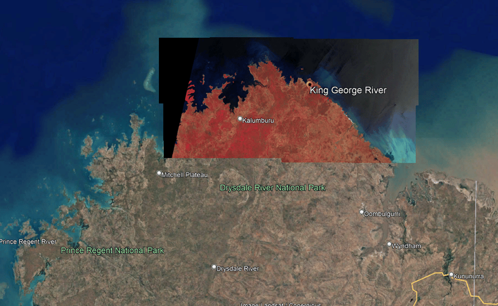
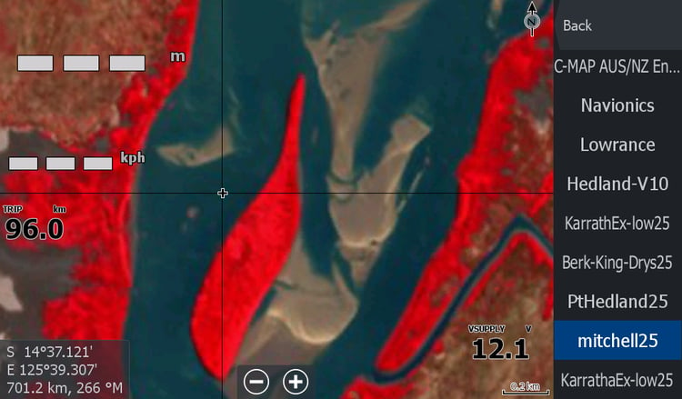
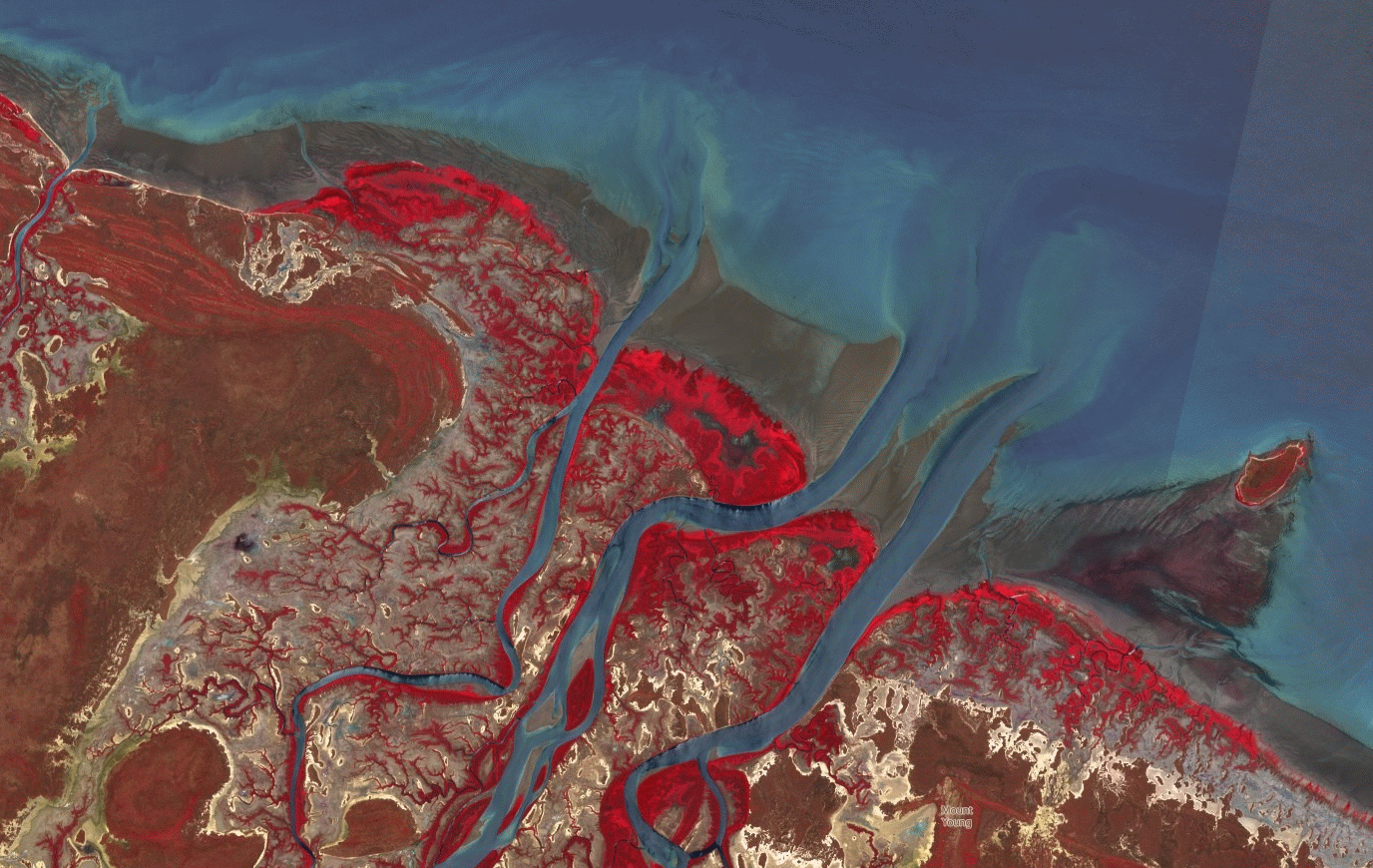
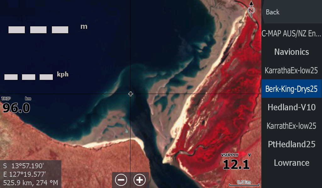
The date of the images for King George & Berkley is 04 December 2025 after Cyclone Fina slammed into the Berkley River lodge.
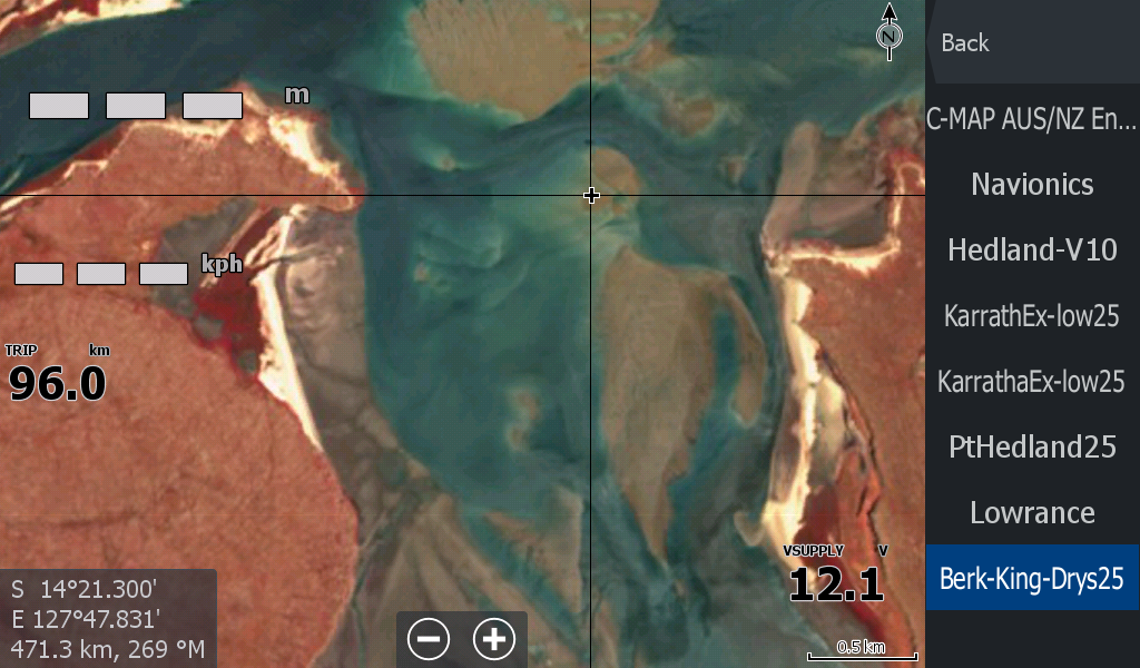
The closer imagery for Drysdale River mouth is from 07November25 as it was much lower tide and after careful comparison to 04Dec25 it was deemed no change ( if you can work it out from imagery where 1 pixel equals 10 metres).
You can see the change in imagery as you zoom in.