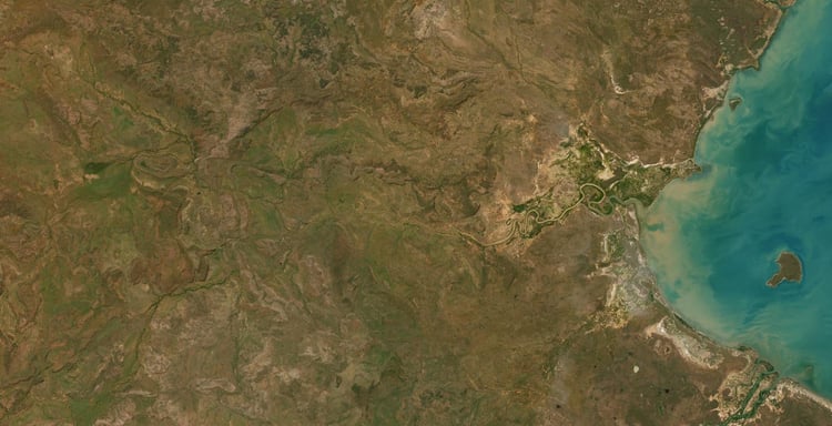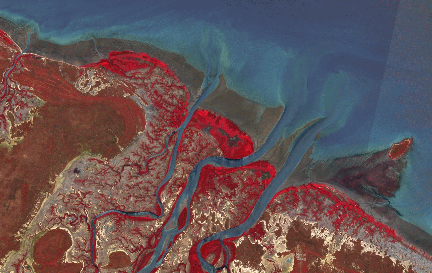

Roper River Limmen Low Tide 2024
Roper River Mouth Limmen Bight Northern Territory Low Tide Map.
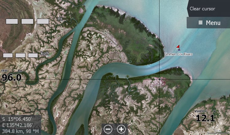
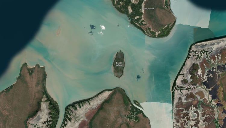
An essential map for those venturing out the Mouth of the Roper River up to Numbulwar, over to Maria Island or down to the Cox River system.
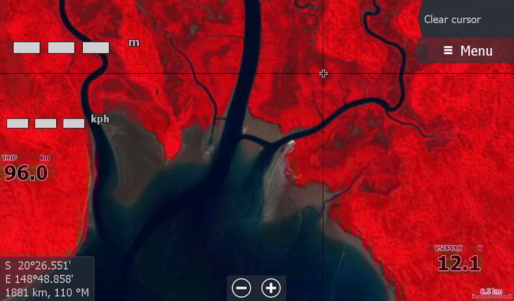
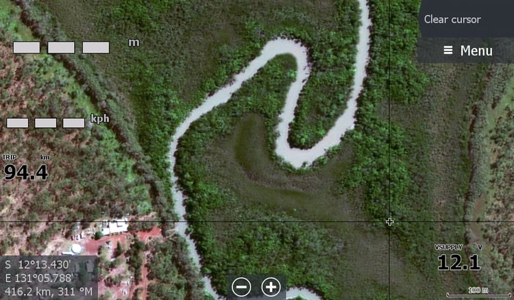
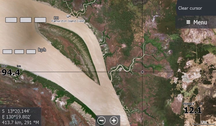
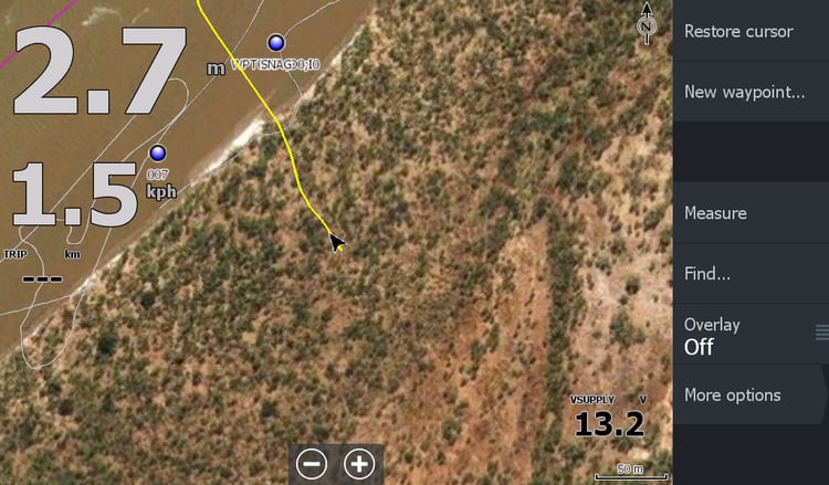
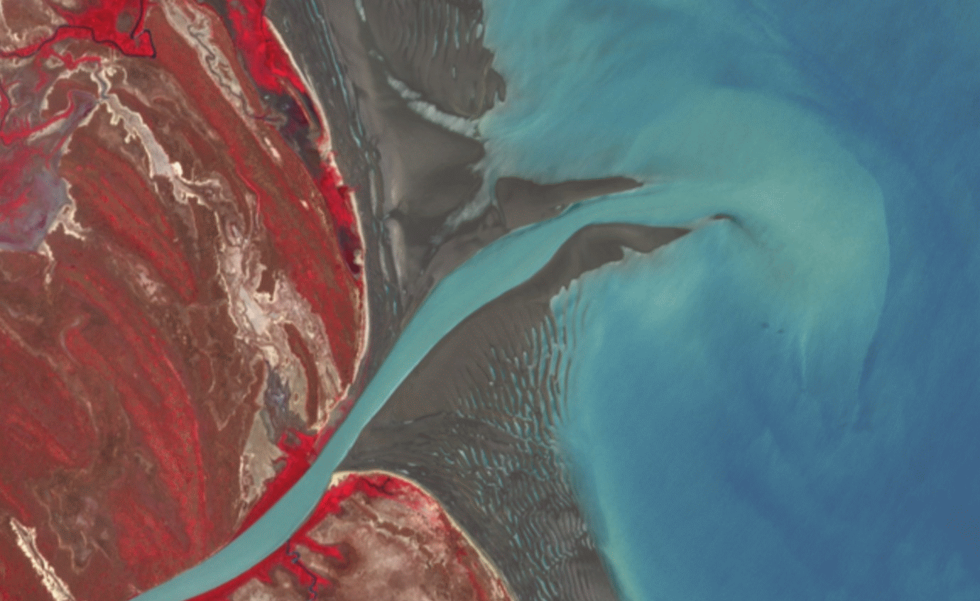
This map shows the location of sandbars at the time . You can also see the reefs between Maria island & Groote Eylandt. Entry to the Rose River. The fickle channels to follow to get into the Towns & Cox Rivers and back to Limmen Fishing Camp. And my favorite, the shortcut to Wyuppa Creek 6km north of Roper Mouth. Saving about 8kms off one way if you follow the Roper Mouth. Still travelling 6km out the Mouth across murky water at 400-600mm deep hoping there isn't a hidden sandbar is not for the faint of heart. ( December25 notified by "clients" that purchased maps & they went across the face with ease on a shit tide. Very thankful for the map.
These Low tide images are low resolution. 1 pixel is 10 metres so you cant zoom in too far for clarity, but will keep you on the better side of water. This map is the reason for creating all the maps on this site. I don't want to be stuck on that Roper Mouth sandbar again.
I get a lot of questions about the mouth low tide bars & Yes I watch it carefully looking for any slight changes, comparing sections in between cloud cover as its been well over 18 months since an update of this map. When that day appears that the tide is lowish at 10.30Am the day the satellite passes over and there is no cloud, I will post an update.