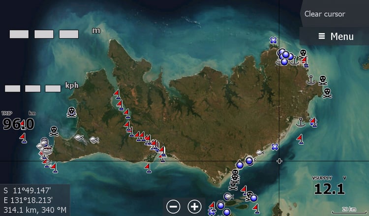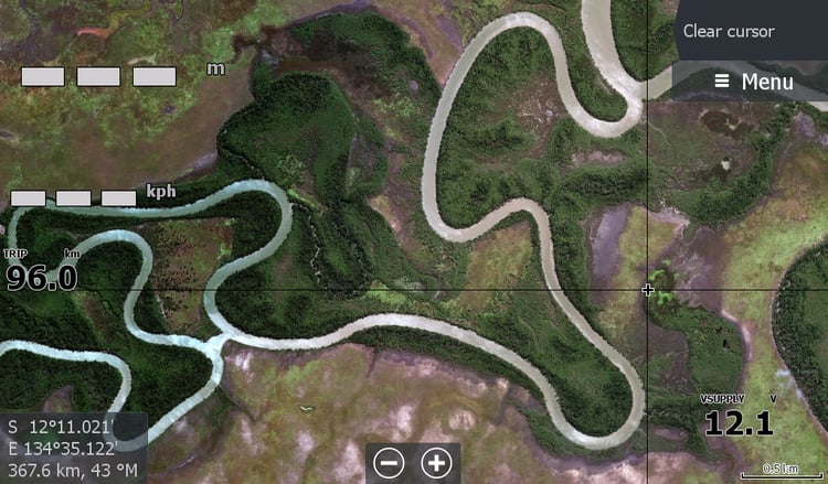


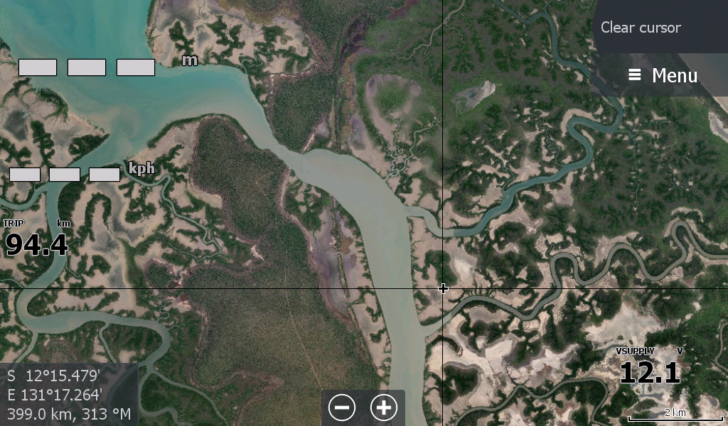
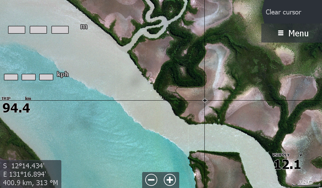
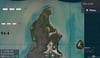
Adelaide River -Vernons to Pt Stuart (inc Shady Camp Mary River)
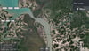
Leaders Creek - Gateway to the Barra fishing grounds of the Adelaide River Mouth & Vernon Islands Northern Territory
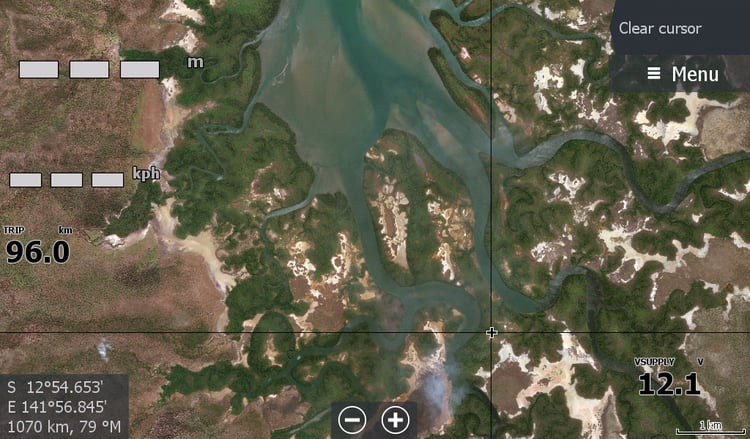
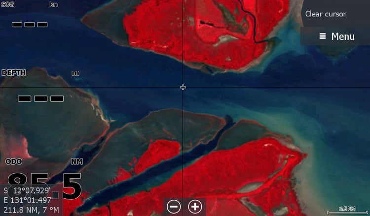
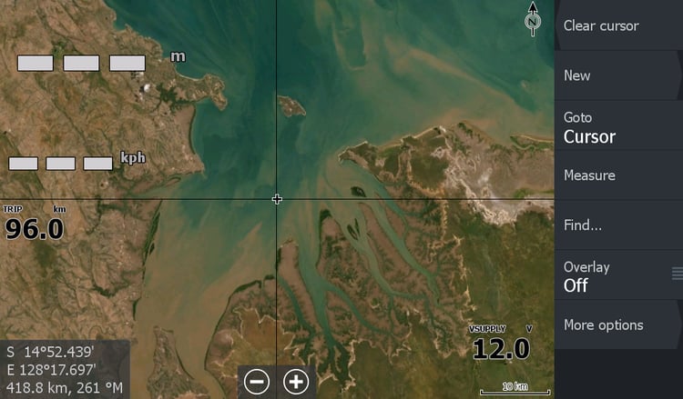
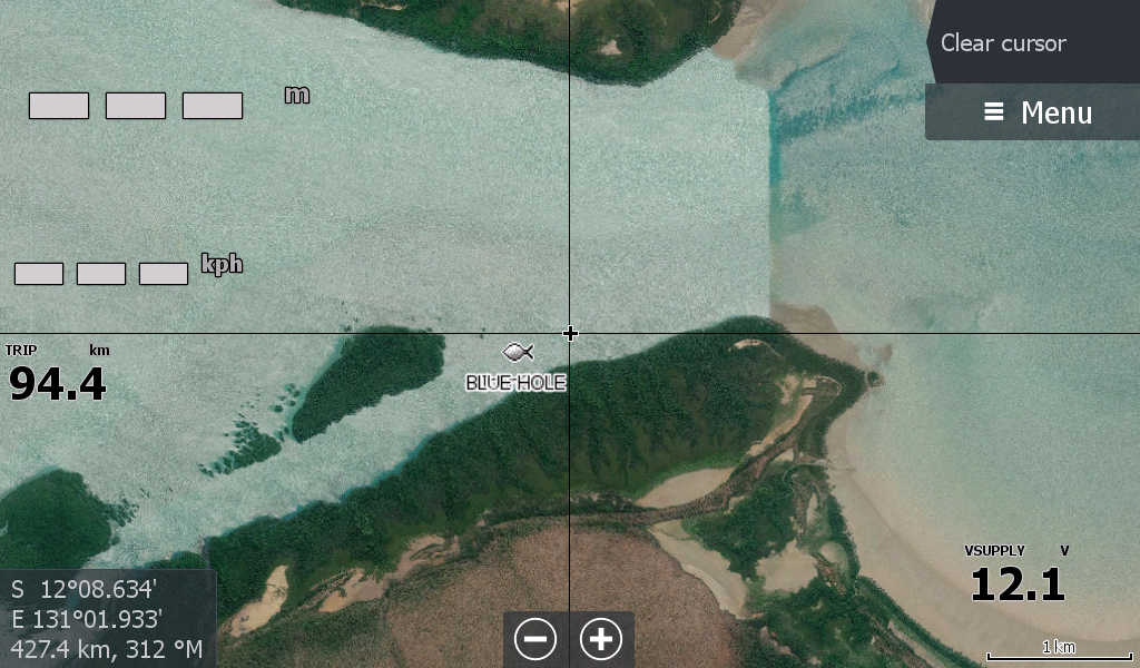
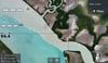
This imagery starts at the Tip of Melville Island including key spots like the Blue hole,, The Vernon Islands, Saltwater Arm & the many creeks that feed the Adelaide. Across to the Mary River System, Shady Camp, Tommycut Creek etc all the way to Point Stuart. ( Its the old Shady Camp boat ramp imagery but lacks clouds)
I was doing my best to get the Vernons at the lower tides to assist with the usual rock bar issues, but the satellite gods don't care too much about fishing boats. Keep an eye out for a Low Tide Red map of this region ( there isn't one yet as nothing coincides for the satellite pass)( March 2026)
This map has now been revised to include Adelaide River & the Mary River System, saving you an extra download for 2 systems.
**If you purchase this map with the Darwin map, you will have map coverage from Daly Mouth to Point Stuart.