


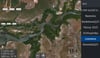
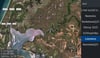
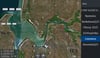
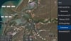

Weipa Qld ( From Duck creek to the Cape)
On Sale
A$15.00
A$15.00
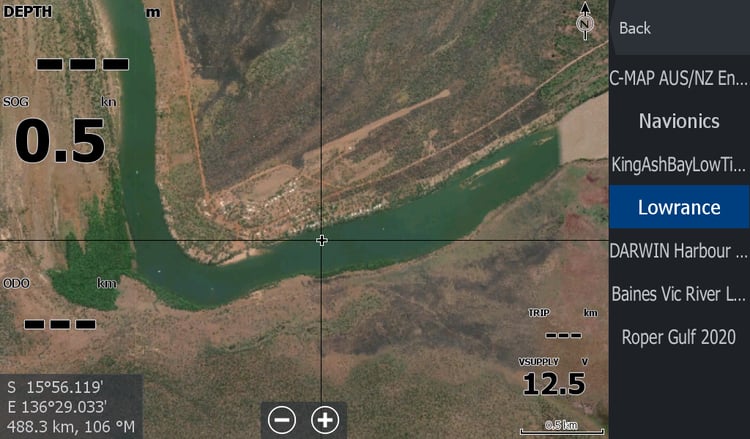
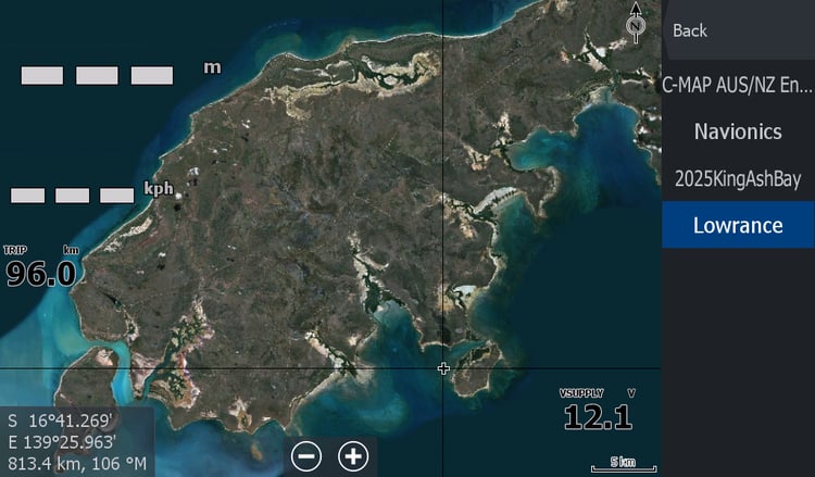
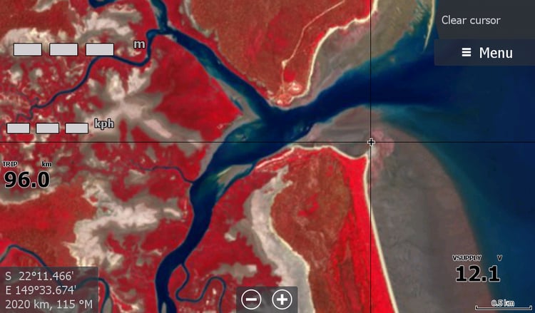
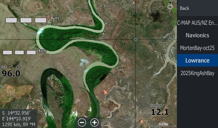
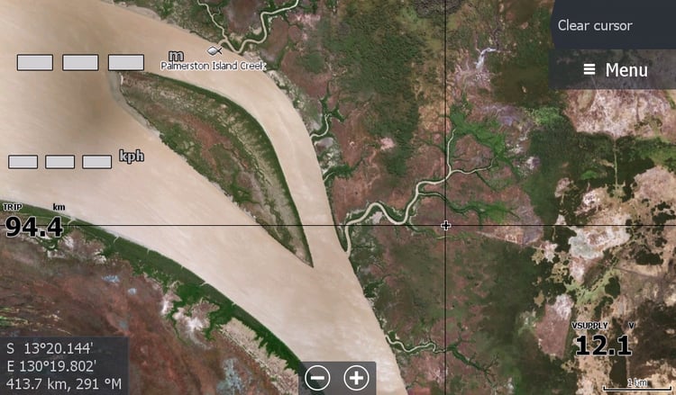
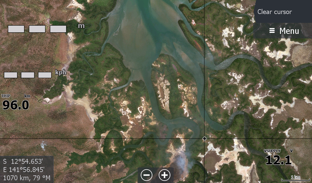
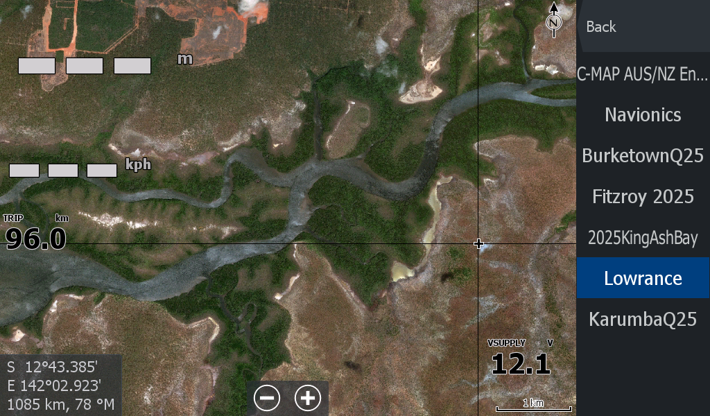
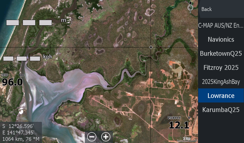
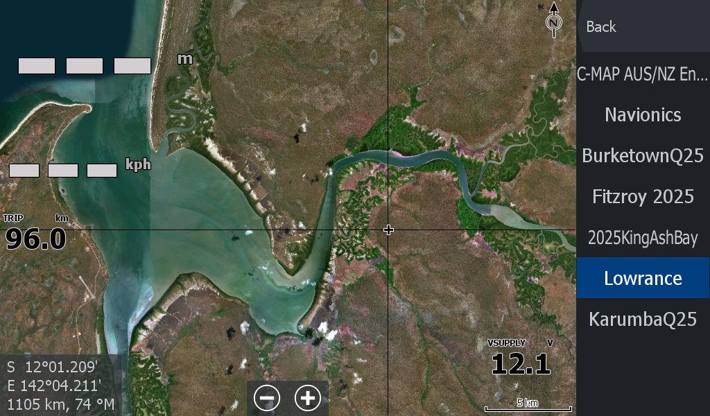
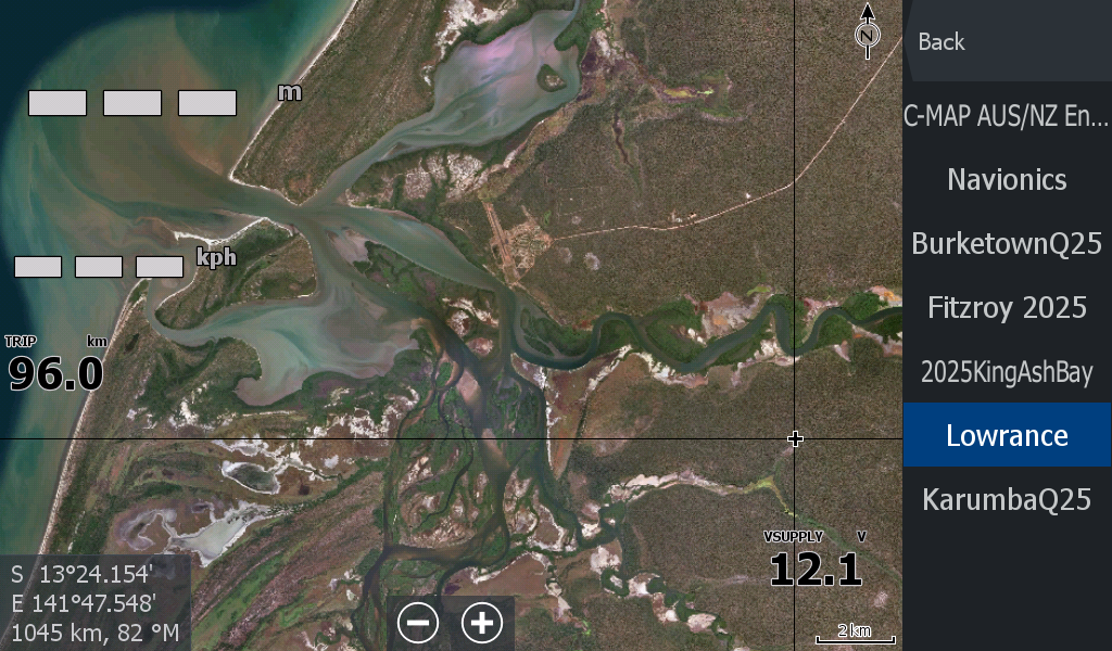
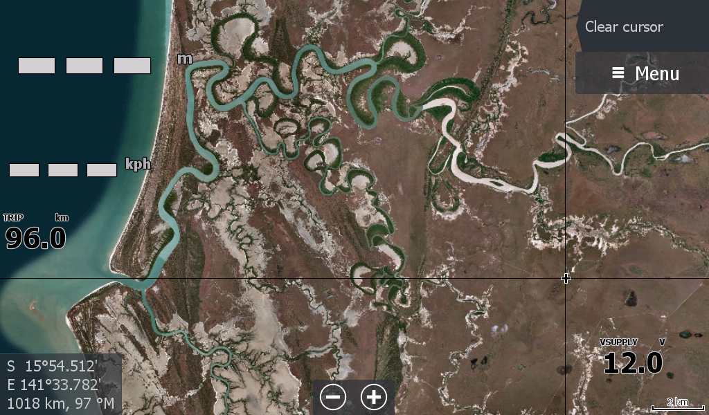
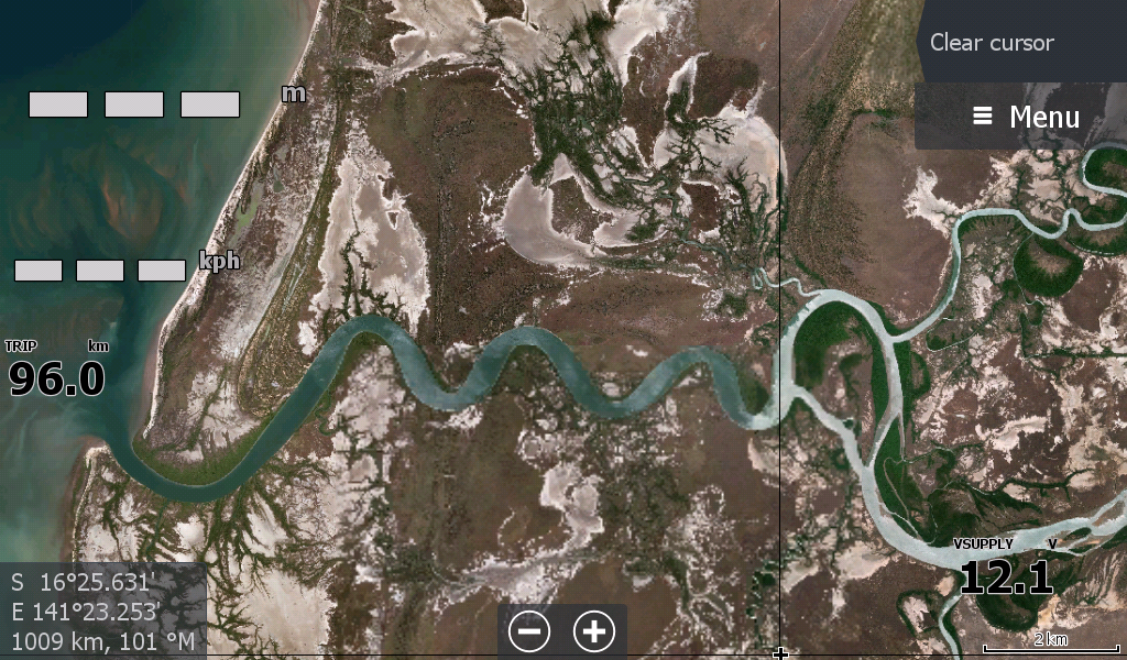
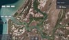
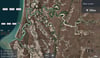
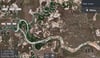
Weipa Gulf Country. For all the estuary Barra Fishermen. This satellite map picks up where the Karumba satellite map ended. Includes all the waterways from Duck Creek / Staaten River past Pormpuraaw, and Weipa to the North Western Tip. Not including the Capes Islands. It is a large file (Over 2gb unzipped) separated into many overlay sections. This will also suit those who travel from Karumba 160km hugging the coast to Staaten River & beyond. ( As an additional satellite map to the Gulf Country Map)
Would not be suitable for Bill Fishing in the Gulf as the satellite imagery does not extend out too far past the wiped/brushed coast.