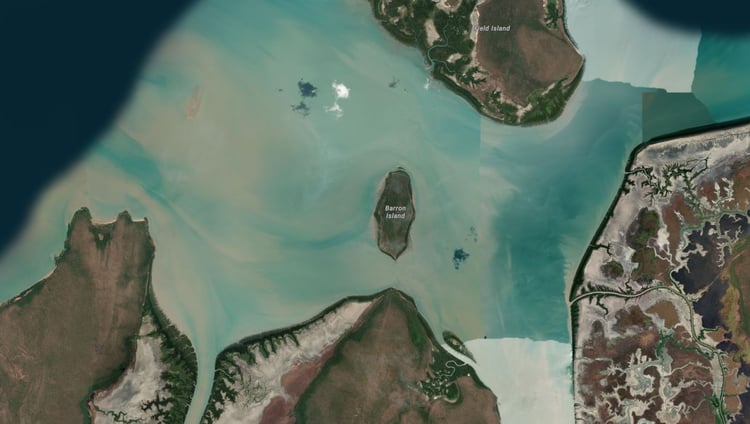
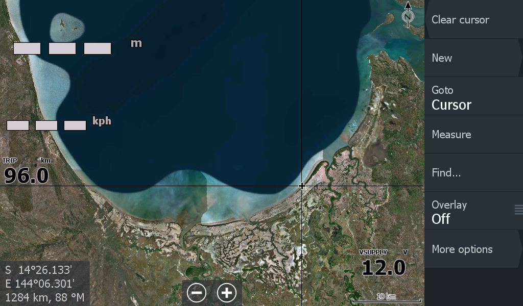
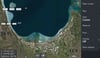
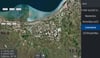
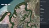
Princess Charlotte Bay QLD Cape York
On Sale
A$15.00
A$15.00
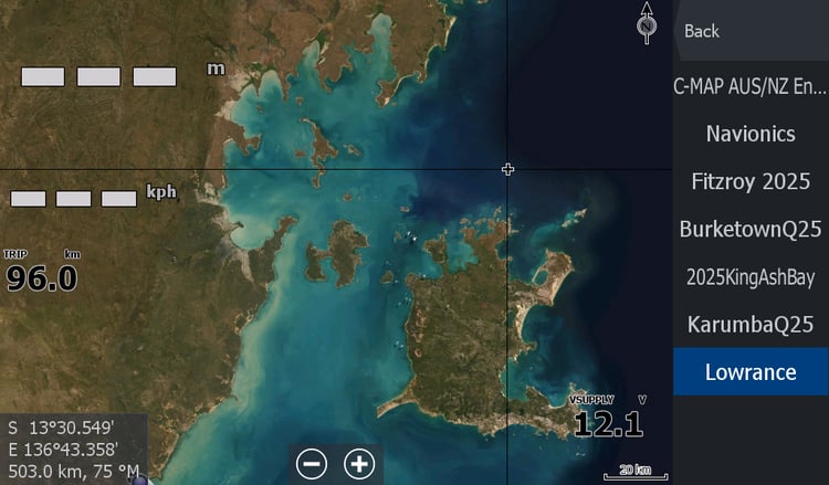
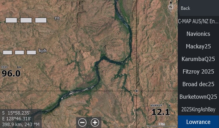
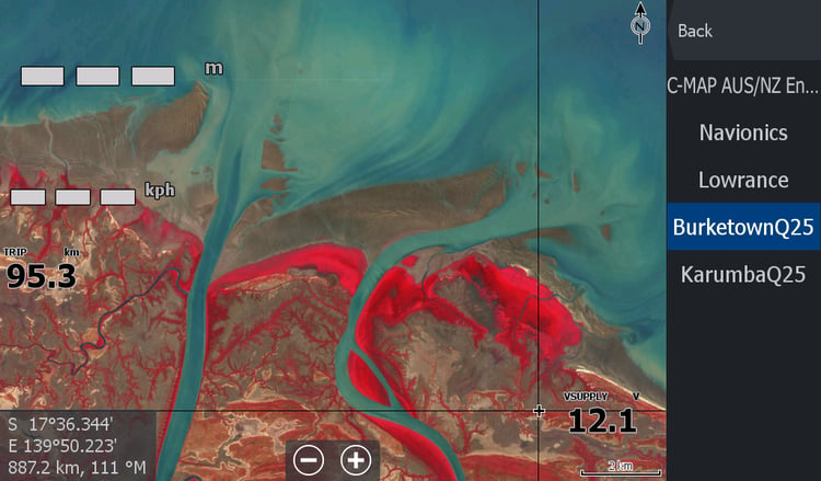
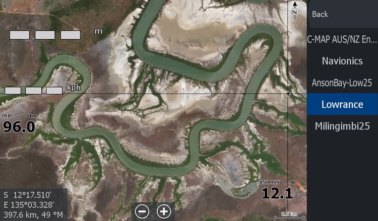
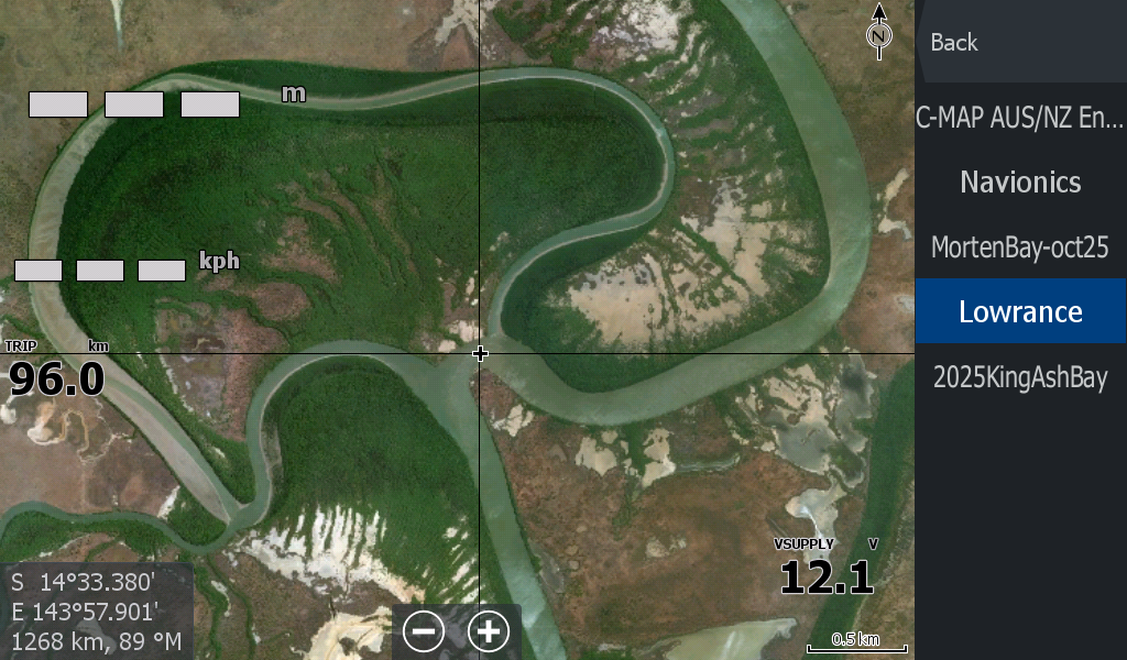
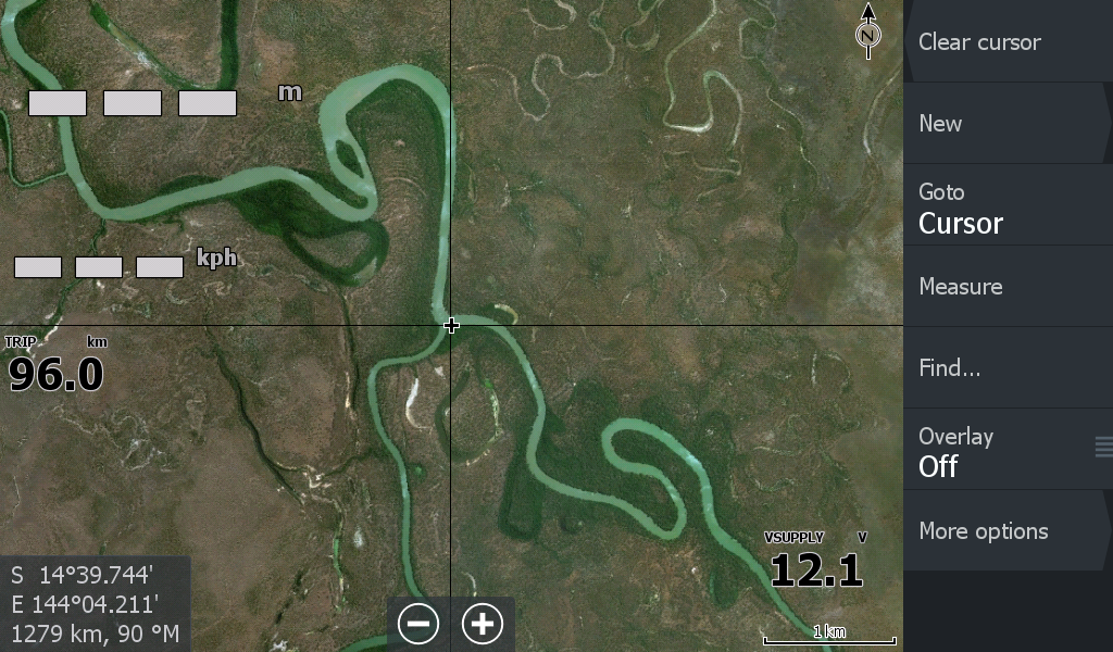
Another good example of why "Top End Maps" exists. Filling the void of "unchartered waters" in remote areas.
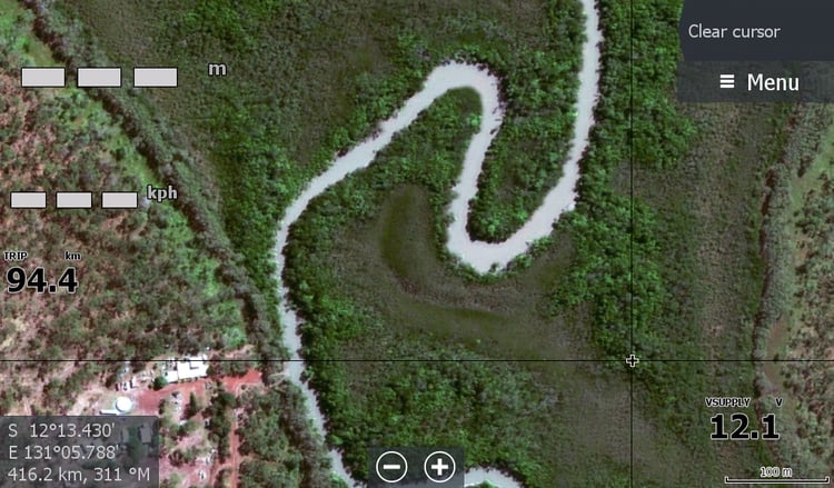
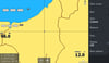
Here at Princess Charlotte Bay at the base of Cape York Qld is the 59 kilometre long North Kennedy River barely making a scratch on Navionics & C-Map Charts.
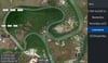
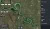
With this Map you can now track yourself on your Lowrance chart plotter 59kms to the Rockpools with some idea of where you are.
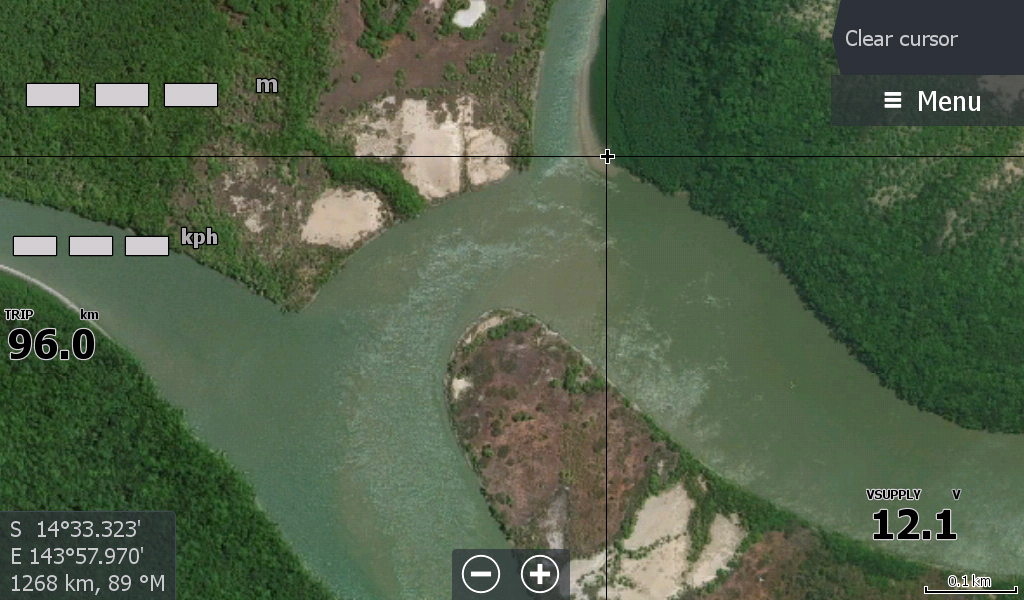
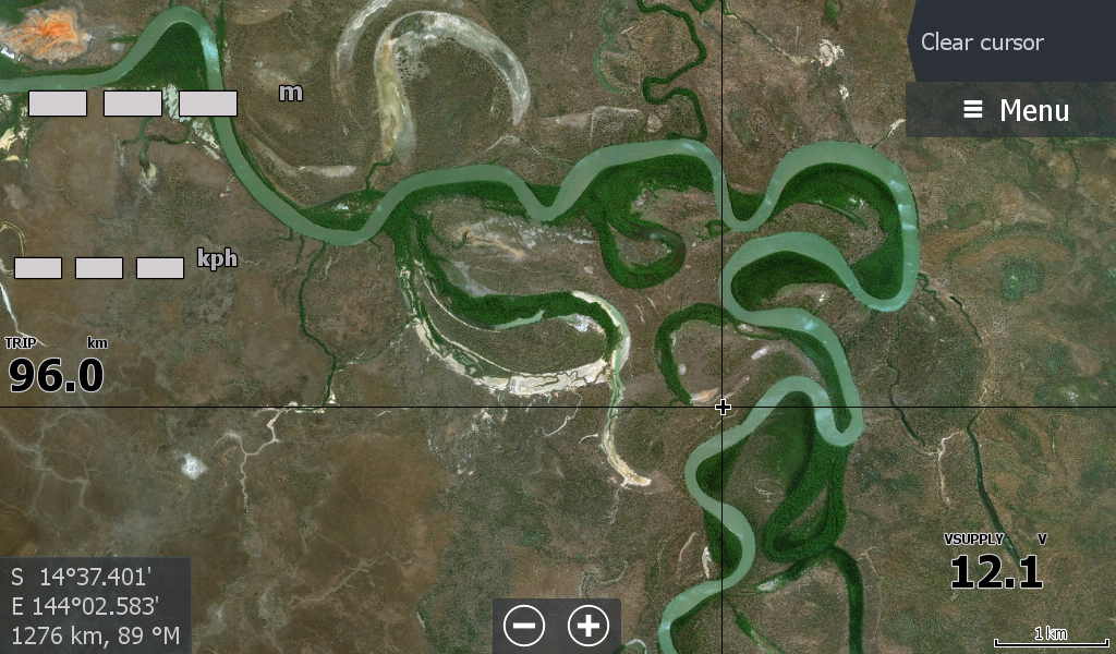
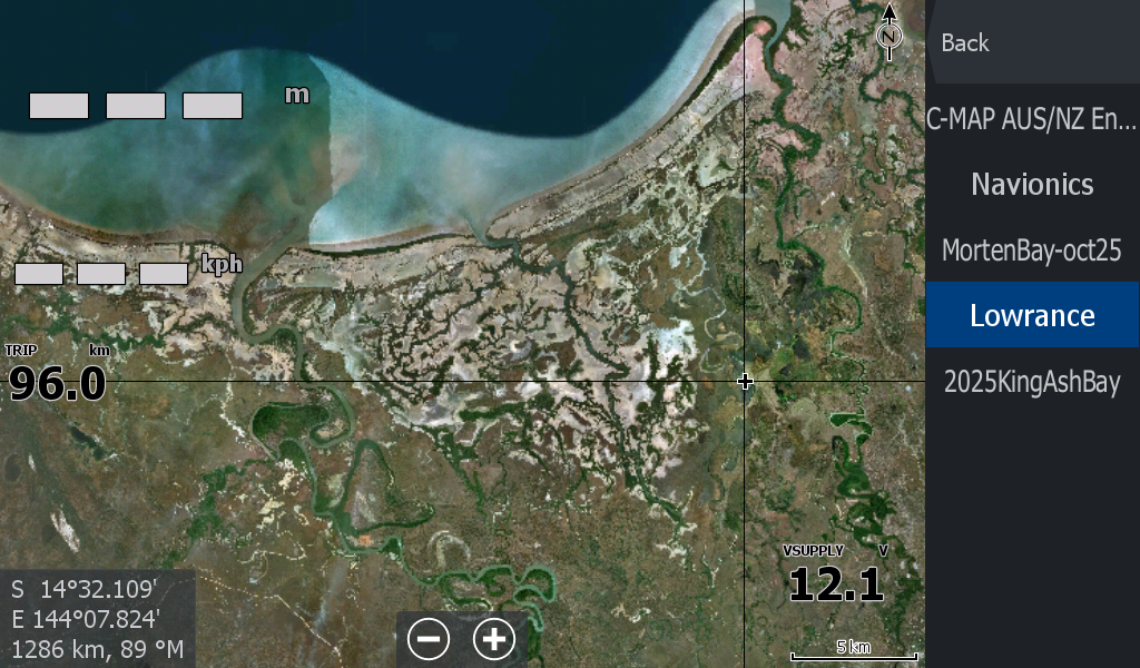
The Marrett River, Bizant River, Morehead River, Normanby River, Jam tin Creek and others in the Princess Charlotte Bay area all extend up to 50 KM inland.