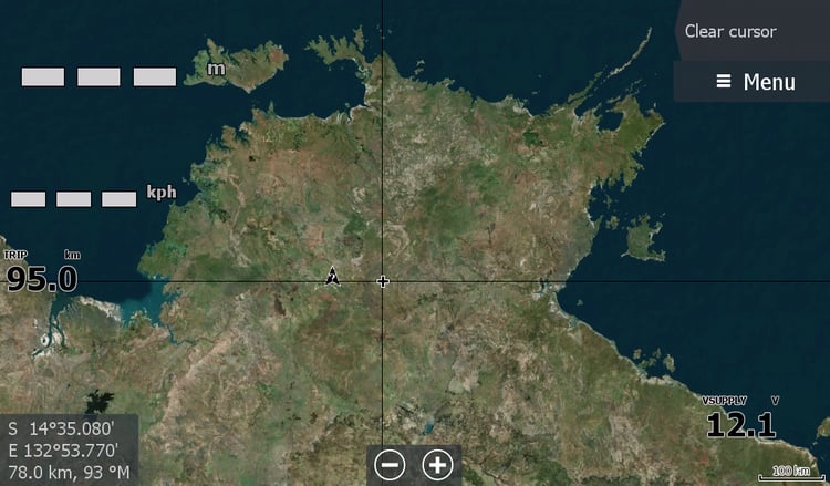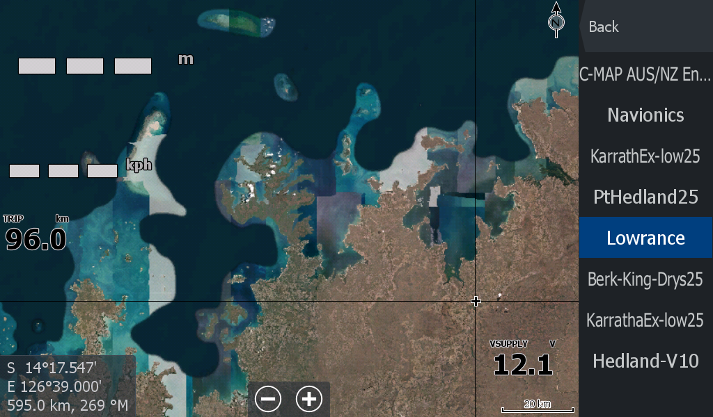
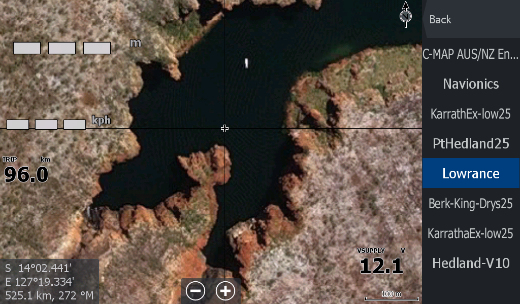
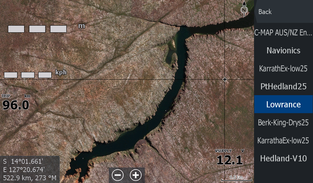
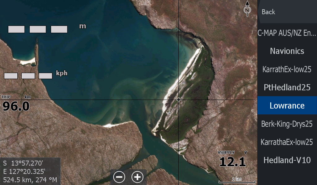


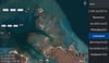

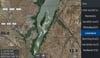
North West WA Mitchell Plateau (River) to Berkley River general satellite
Could almost call this the West Australian Kalumburu Map, covering from the Mitchell River Gorge all the way around to near the Berkley River on the Wyndham side.
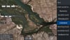
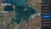
This map joins onto the Wyndham WA map.
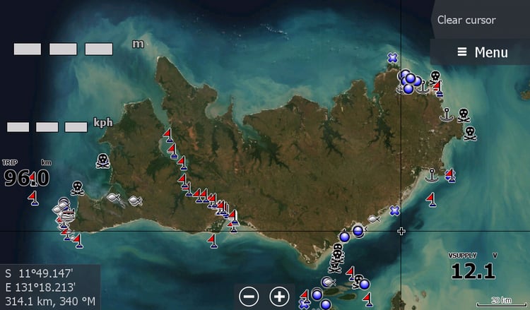
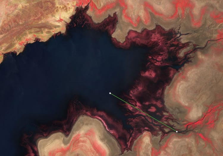
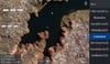
Zoomed out, it looks like a mosaic jigsaw of patched maps (which is pretty much what they are) I chose a map that represented nearly all the islands ( but no doubt there will be some that have been scrubbed by the powers that be in the satellite maps world)
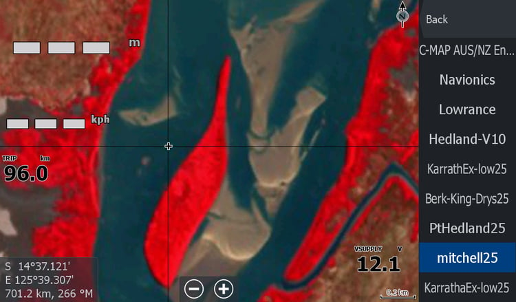
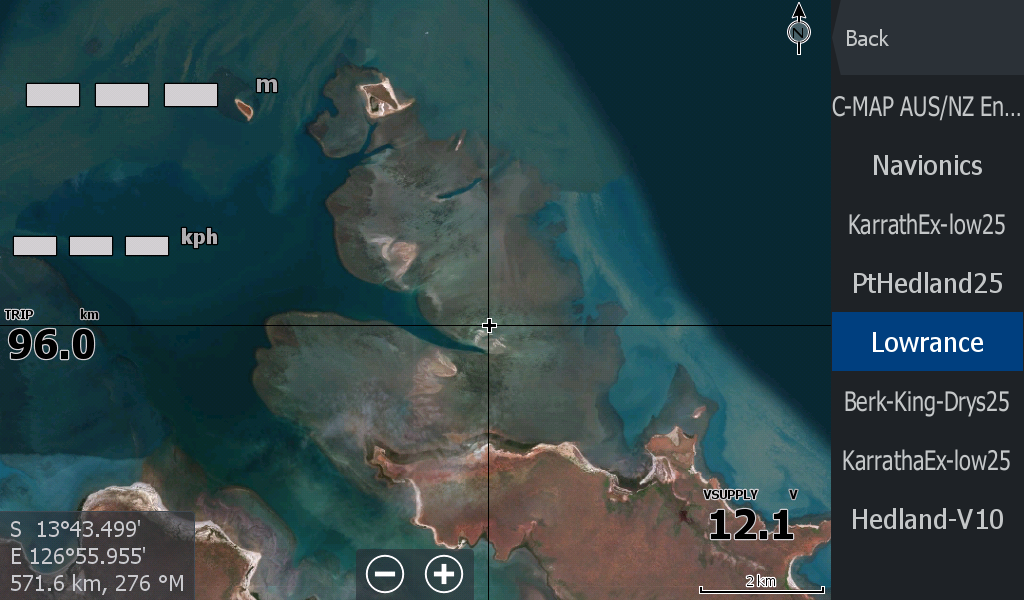
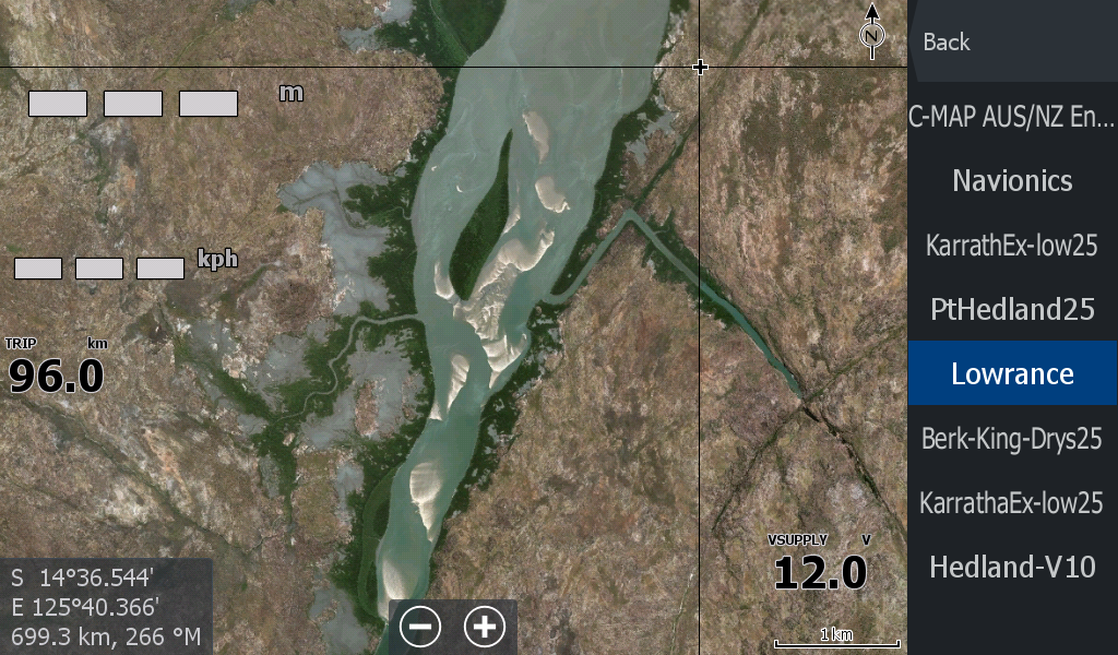
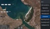
For the low resolution part of map , it extends out towards Walcott inlet, but does NOT include this area on higher resolution zooms ( that will be another map from Mitchell Plateau to near Derby) (when created). The better resolution finishes / or starts on the Western side of the Mitchell River to .
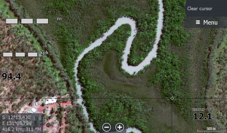
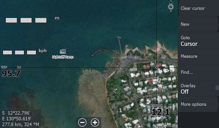
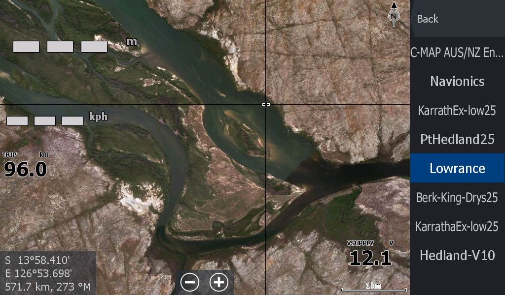
Once again, you cannot trust the sandbars in the imagery, as they may be years old. ( There is a low tide map for parts of this region.