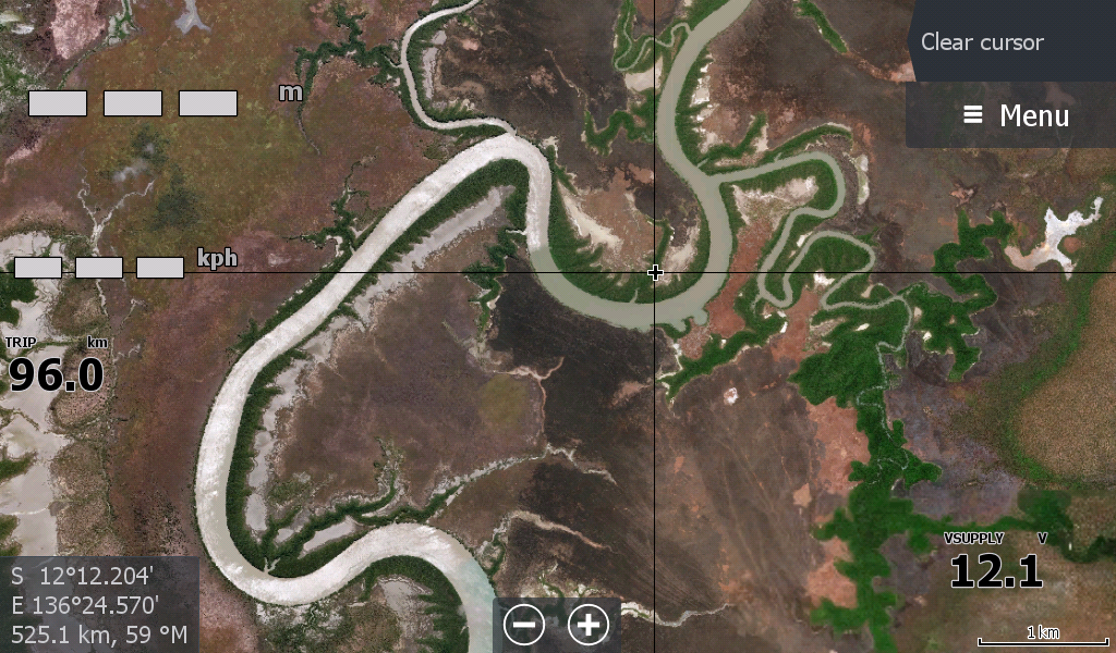
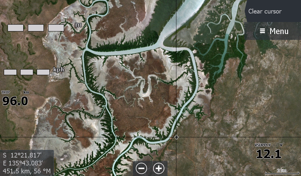

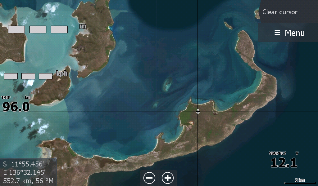

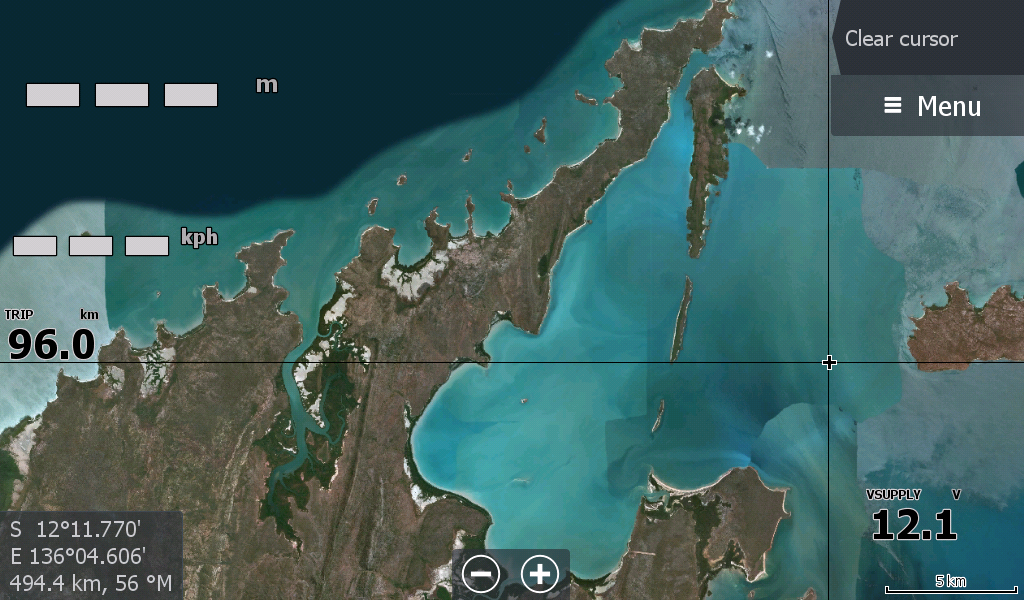

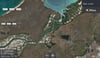

Arnhem Bay NT
Something for the Gove Fishermen
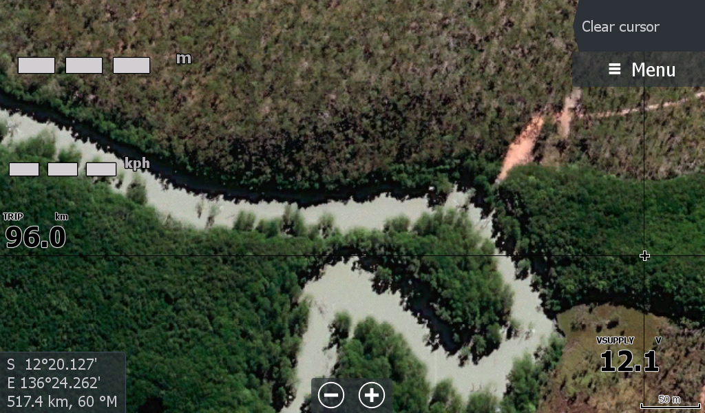
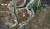
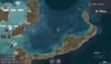
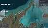
For those who launch at the Cato River boat ramp & head in Arnhem Bay & around to the Buckingham River system this map has you covered. All the creeks & river systems and several islands included , not necessarily the whole island but the "passage ways" or straits on the outer of Buckingham & Arnhem Bay . From South West Bromby Island down through Pobassoo & Ingless islands, Napier Peninsular further down to the Elcho Island passage and Hutchinson Strait Howard Island ending at the creeks and rivers around Banyan Island.
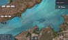
There were a lot of scrubbed out reefs I noticed the closer you zoomed in around Arnhem Bay, so use your C-Map.
Does not include Gove Harbour or Cape Arnhem in any zoomable form, only for reference.