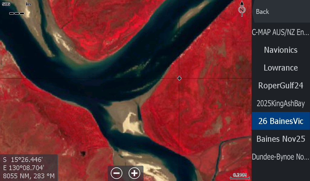
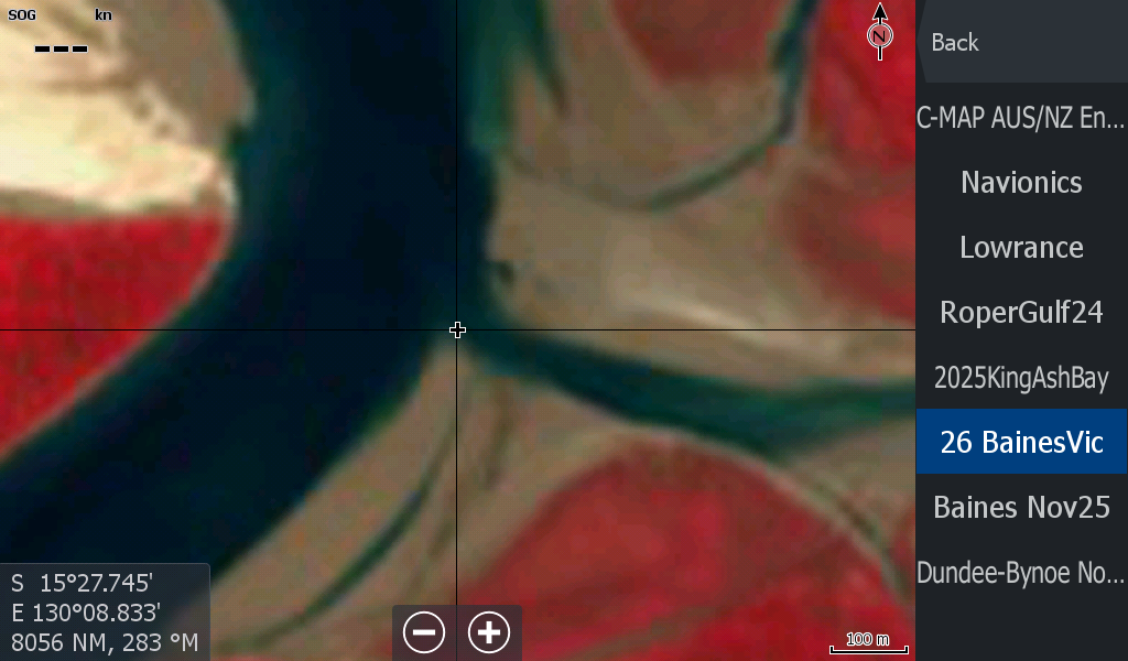
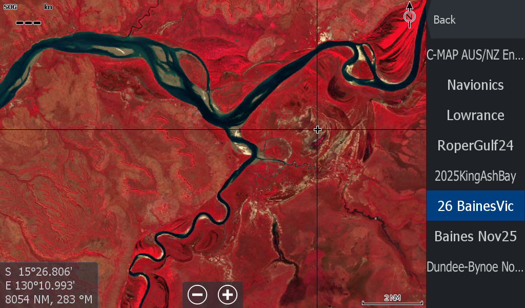


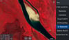
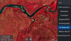
Baines River Victoria River Low Tide 2026 ( 08May26)
On Sale
A$18.00
A$18.00
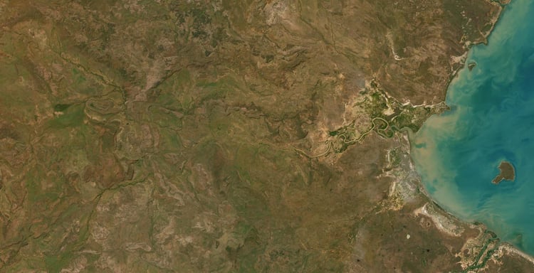
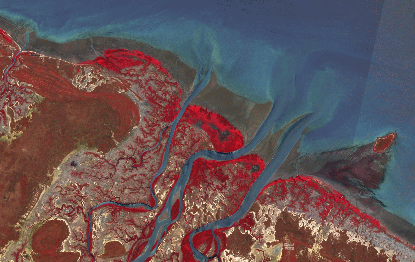
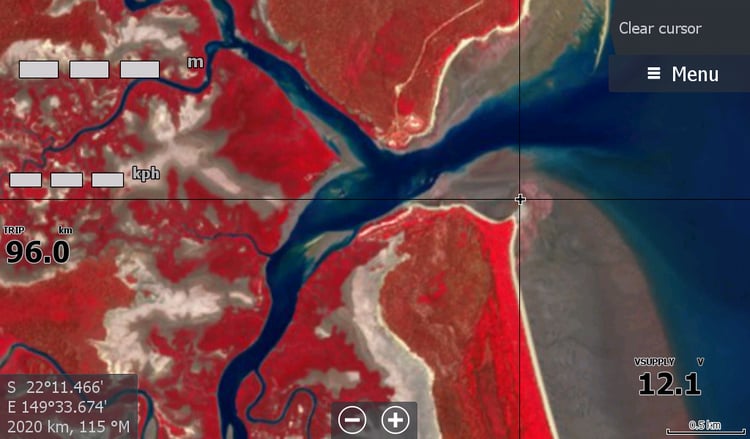
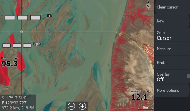
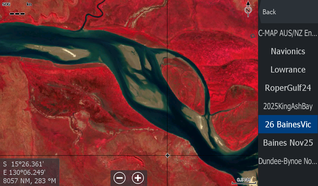
08May2026 - The Baines Junction on the Victoria River NT. ( A better lower update since April 2026)
River is running fairly clear, ability to see the sand deeper under water is good. This map overlay also covers from Policeman's point upstream of Big horse boat ramp , including Sandy Island , Pelican Point & Green Island, Lobby Creek.
It covers 12ish Kms of the Bullo River as well, but the tide was well & truly on its way back in at that area.
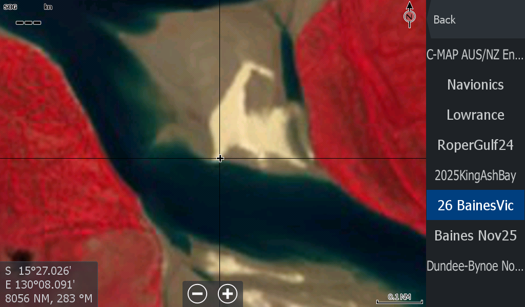
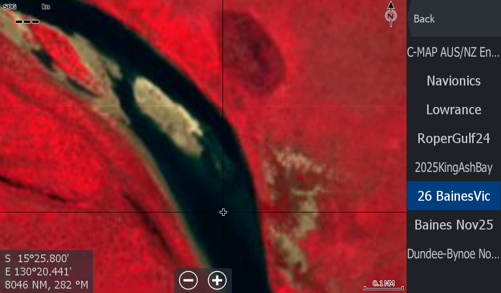
Cannot see the mysterious Skeg Rock, but its there at that wide section downstream of Pelican Point.
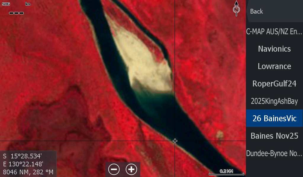
Slight changes from last year as expected at the Baines & around Green Island sandbars.