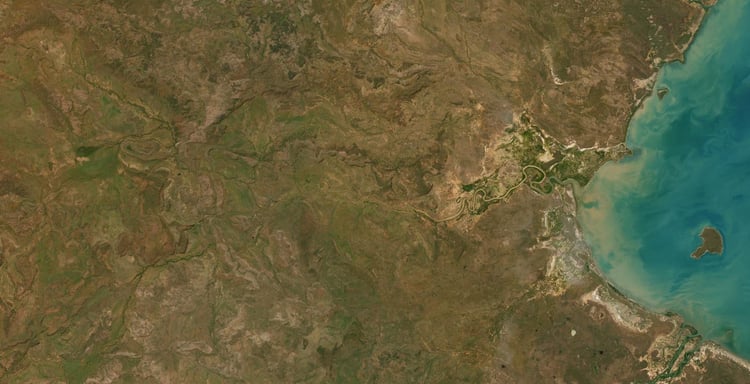

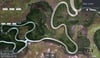
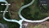
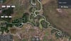

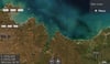


Maningrida NT Satellite Map
On Sale
A$15.00
A$15.00
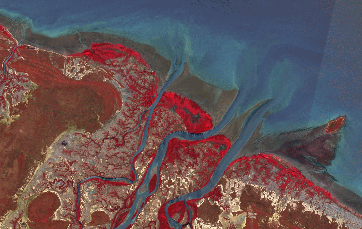
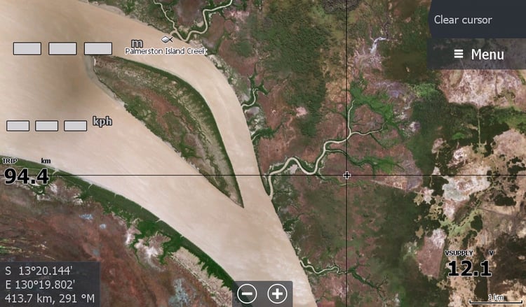
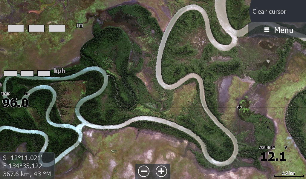
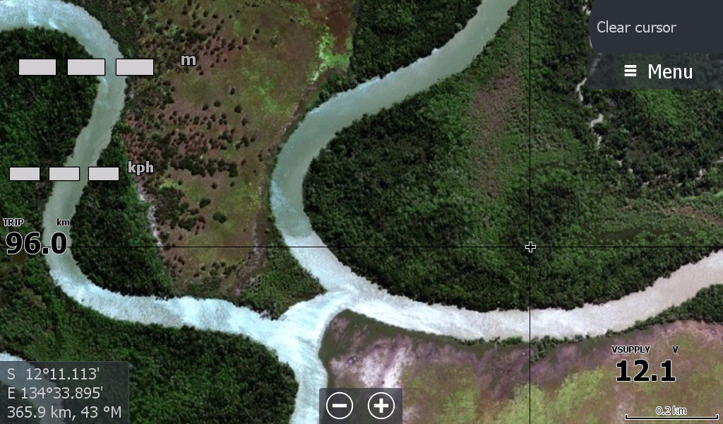
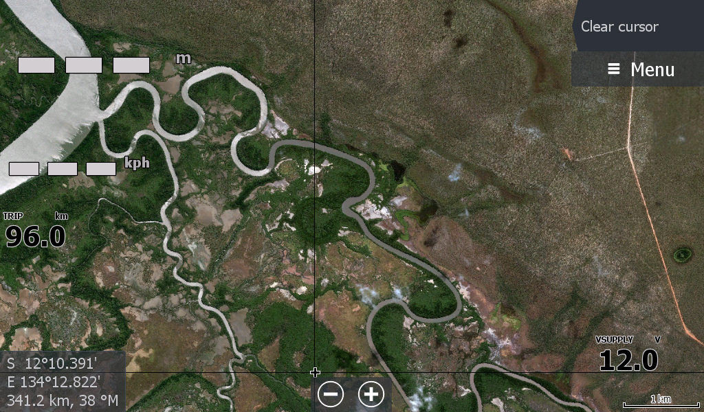
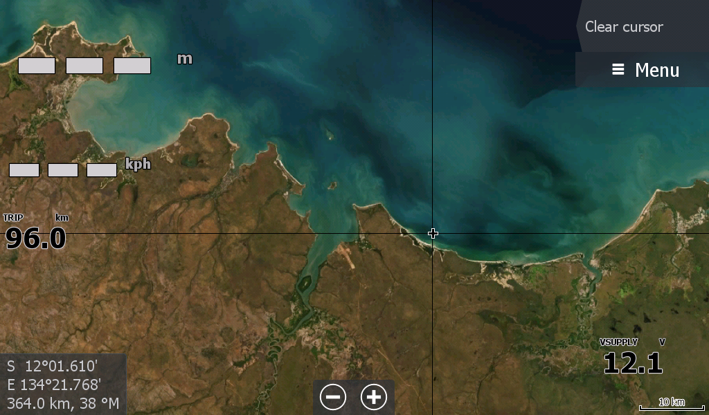
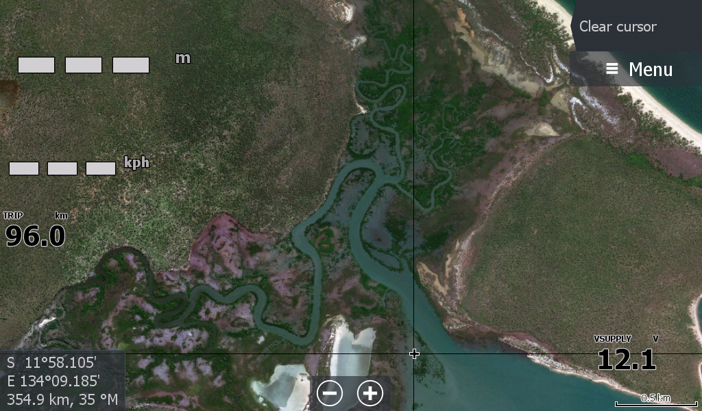
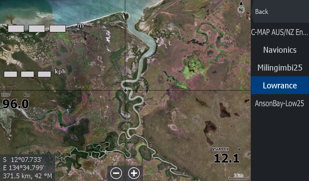
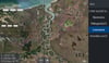
Maningrida Arnhemland Satellite Overlay - Covering the coast from Maningrida to 55kms in the East to the Blyth River (follows on from the Crocodile Islands Milingimbi satellite map). And 60kms West from from Mann River, Bat Island, Entrance Island, over to Majari Creek, Goomadeer River Cuthbert Point area.
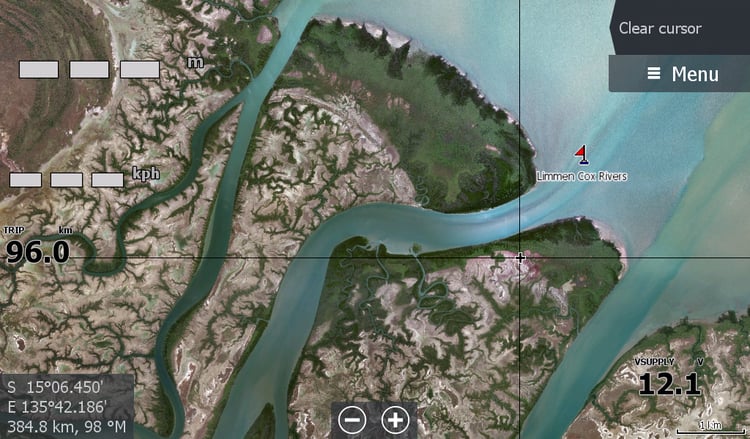
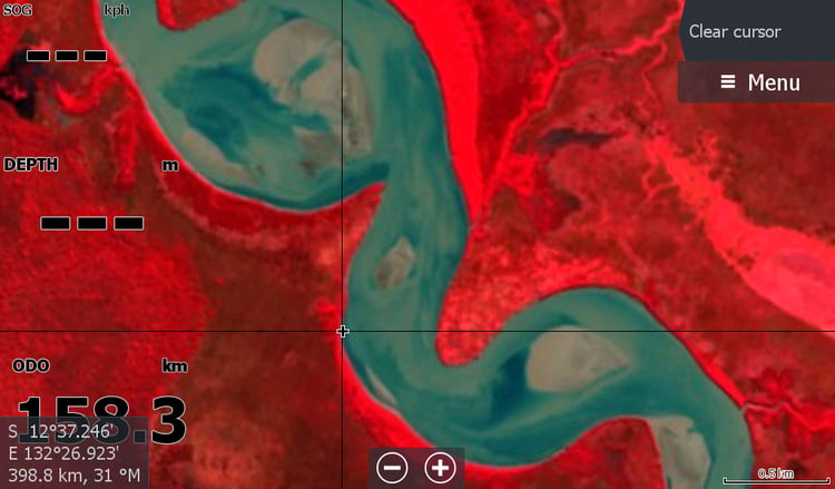
This map will assist the Rangers and barra fishers to follow up all those hidey hole creeks and rivers that hide an illegal Indon boat or two.
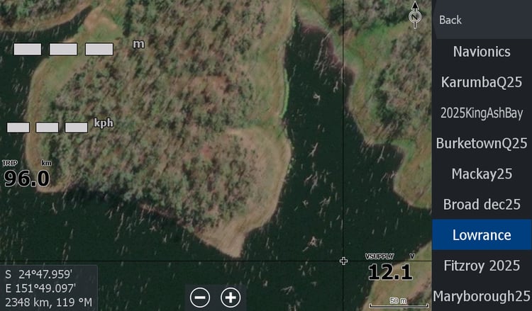
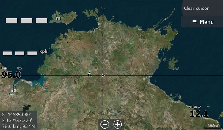
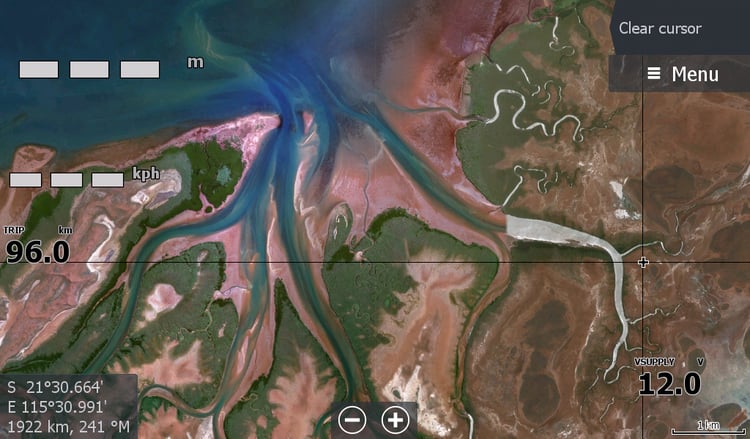
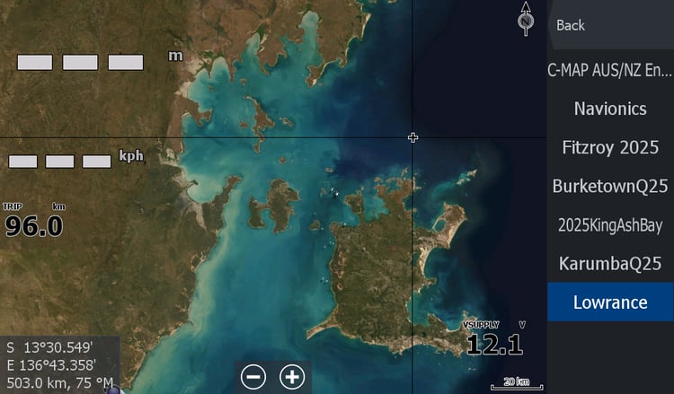
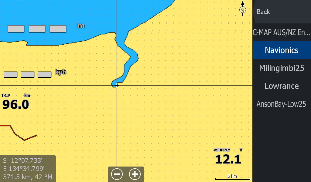
A couple of images above that show what you currently have & what the satellite overlay can give you.